
Parimpora Bus Terminal: Passenger Transport in Srinagar
Parimpora is a significant passenger-transport reference in Srinagar. JKRTC’s published Kashmir timetable material identifies a Parimpora depot, while reporting on the relocation of the former Batamaloo bus stand documents the area’s changing role. The depot record establishes transport geography; an older timetable does not establish today’s departures, fares or boarding arrangements.
Parimpora is a significant passenger-transport reference in Srinagar. JKRTC’s published Kashmir timetable material identifies a Parimpora depot, while reporting on the relocation of the former Batamaloo bus stand documents the area’s changing role. The depot record establishes transport geography; an older timetable does not establish today’s departures, fares or boarding arrangements. [1]
The shift from Batamaloo
A September 2017 report described transporters shifting to the Parimpora bus stand following a High Court order. This historical change helps explain why an older guide might direct readers towards Batamaloo while a later account names Parimpora. It should not be interpreted as proof that every Srinagar bus route moved to the same pickup point. [2]
A terminal, a depot and a roadside stop perform different functions. A depot can be an operator’s base for vehicles and staff, whereas a passenger terminal organizes boarding and waiting. A route may also use intermediate stops. Identifying which of these a source describes is necessary before offering practical directions.
How bus geography works
Passenger transport links the city to other settlement areas through routes and transfers. Its usefulness depends on the destination, service type and time of travel. A terminal name provides a geographical anchor, but it does not supply all the information needed for an individual journey.
For an encyclopedia, the relocation is also an example of how infrastructure changes urban relationships. A transport hub brings movement to its approaches and surrounding streets. Studying such a change requires distinguishing the dated event from later economic or traffic effects, which should not be assumed without evidence.
Planning from current information
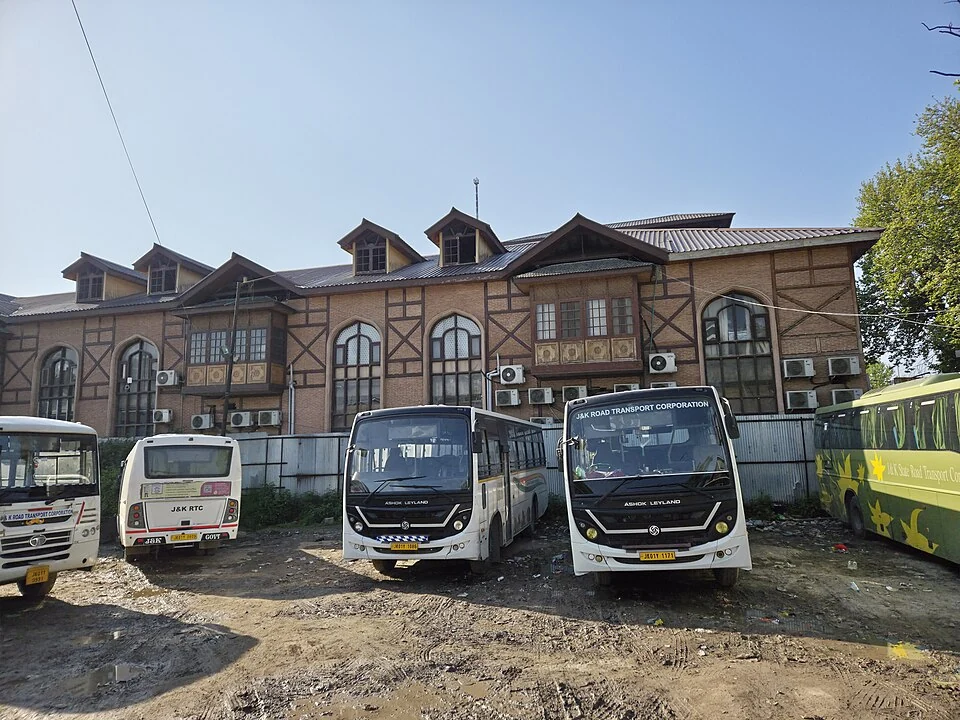
Use JKRTC’s current passenger information to check operator services, and confirm the actual departure point for the chosen route. Read this article with Batamaloo and Srinagar’s railway-station profile to compare different forms of passenger infrastructure. The accompanying image is captioned according to its source location; a general Srinagar bus-station photograph must not be labelled Parimpora without location evidence. The map is explicitly a representative area marker, not a verified bay, counter or present boarding point.
Image and map record
Image: Gannu03 via Wikimedia Commons. Licence: CC BY-SA 4.0. Recorded capture date: 14 April 2025 (according to Exif data). Resized and converted to WebP; image content unchanged. This is a dated view, not confirmation of the site’s present appearance.
Map marker: 34.083, 74.797. Labelled regional/locality context marker; not a verified public entrance, pickup point, birthplace, residence, venue, trailhead, crop boundary or visitor route. View location on OpenStreetMap · View Google Maps · Google directions · OpenStreetMap directions.
Research checked: 15 October 2026. For a visit, confirm current access, transport and opening information with the relevant authorities. This encyclopedia profile provides geographical and historical context.
Sources & references
[1] JKRTC: published Kashmir depot/timetable document (historical, not a live schedule)
https://www.jksrtc.co.in/pdf/timekashmirr.pdf ↗
[2] The Tribune: transporters shift to Parimpora, September 2017
Image and licence
https://commons.wikimedia.org/wiki/File:Srinagar_bus_station.jpg ↗
Related reading
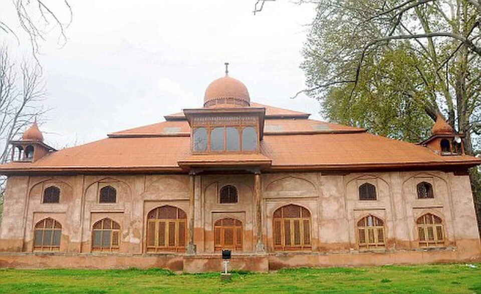
Aali Masjid: Open Ground and a Historic Srinagar Mosque
Aali Masjid, also written Ali Masjid, is a historic mosque in Srinagar's Eidgah area.

Agha Shahid Ali: Poetry, Memory and Kashmir
Agha Shahid Ali was a Kashmiri-American poet who lived from 1949 to 2001. Born in New Delhi and raised in a family associated with Kashmir, he develop
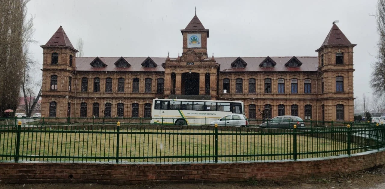
Amar Singh College: Education, Campus Heritage and Institutional Change
The growth of an educational institution from a technical institute, with campus conservation and academic resources.