
Srinagar Railway Station: Rail Access at Nowgam
Srinagar railway station serves the city from the Nowgam setting. It is part of the railway corridor through the Kashmir Valley, and the district administration identifies rail as a way to reach Srinagar. The station is distinct from the city centre, airport and bus terminals; travellers need the railway location rather than simply a generic Srinagar map point.
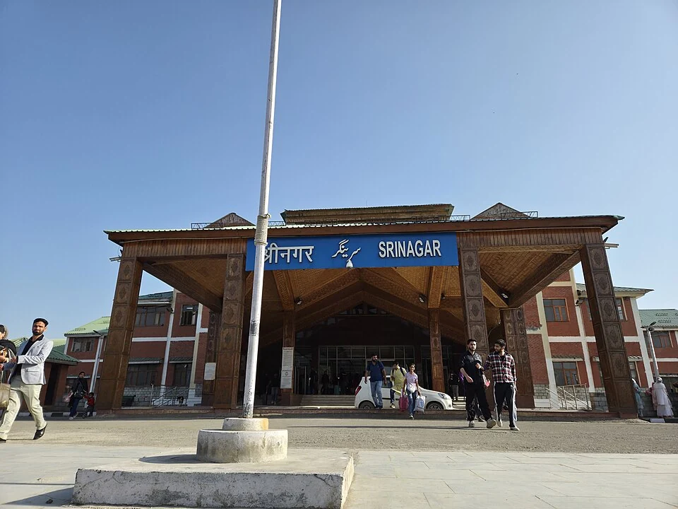
Srinagar railway station serves the city from the Nowgam setting. It is part of the railway corridor through the Kashmir Valley, and the district administration identifies rail as a way to reach Srinagar. The station is distinct from the city centre, airport and bus terminals; travellers need the railway location rather than simply a generic Srinagar map point. [1]
From valley line to wider connection
Official railway reporting records the commissioning of the Udhampur–Srinagar–Baramulla Rail Link. Consequently, older descriptions that treat connection to the wider railway network as only a future possibility need to be read as historical statements. Completion of infrastructure does not imply that every desired destination has a direct train from this station. [2]
A railway network and an individual timetable answer different questions. The network shows physical connections; a timetable shows the services scheduled to use them. A through journey may involve a particular departure, a transfer or a service change even when the tracks form a continuous corridor.
Station and city geography
The station’s position matters for the final part of a journey. A passenger heading to Dal Lake, an old-city neighbourhood or a college still needs a local transfer from the railway arrival point. That transfer should be planned using the actual destination, luggage requirements and confirmed pickup arrangements.
Station buildings and platform photographs document a particular appearance. They should not be used to promise a lift, accessible route, staffed counter or specific platform arrangement without current evidence. Train boarding needs also differ from the ability to reach a station forecourt by vehicle.
Using the entry
Read the Baramulla and Anantnag railway-station profiles alongside this one to understand the valley corridor. Current services, booking rules and departure times belong to the railway operator’s live information. The encyclopedia records the station’s place in transport geography and its relationship to Srinagar. The map coordinates orient readers to the station setting, but they do not replace a verified entrance or official platform guidance. Distinguishing these layers prevents a historical rail article from becoming an unreliable timetable.
Image and map record
Image: Gannu03 via Wikimedia Commons. Licence: CC BY-SA 4.0. Recorded capture date: 12 April 2025 (according to Exif data). Resized and converted to WebP; image content unchanged. This is a dated view, not confirmation of the site’s present appearance.
Map marker: 34.02355489, 74.84712887. Source-recorded orientation point, not a surveyed boundary, verified visitor entrance, campsite or present access guarantee. View location on OpenStreetMap · View Google Maps · Google directions · OpenStreetMap directions.
Research checked: 15 October 2026. For a visit, confirm current access, transport and opening information with the relevant authorities. This encyclopedia profile provides geographical and historical context.
Sources & references
[1] Srinagar administration: rail access
https://srinagar.nic.in/how-to-reach/ ↗
[2] Press Information Bureau: commissioned USBRL railway connection, 2026
https://www.pib.gov.in/PressReleasePage.aspx?PRID=2295954&lang=1®=3 ↗
Image and licence
https://commons.wikimedia.org/wiki/File:Srinagar_railwaystation.jpg ↗
Related reading
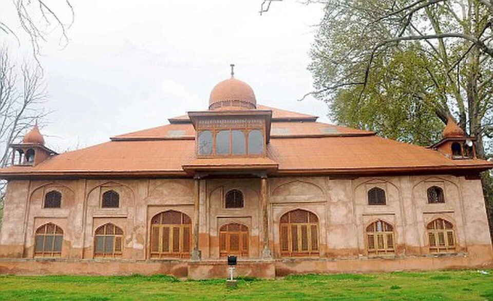
Aali Masjid: Open Ground and a Historic Srinagar Mosque
Aali Masjid, also written Ali Masjid, is a historic mosque in Srinagar's Eidgah area.

Agha Shahid Ali: Poetry, Memory and Kashmir
Agha Shahid Ali was a Kashmiri-American poet who lived from 1949 to 2001. Born in New Delhi and raised in a family associated with Kashmir, he develop
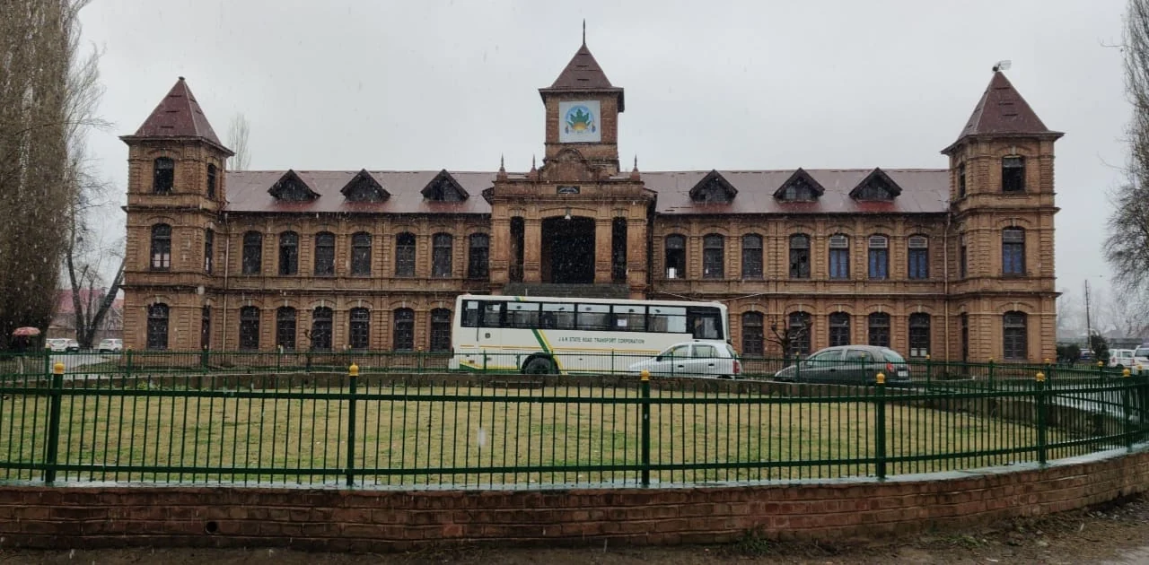
Amar Singh College: Education, Campus Heritage and Institutional Change
The growth of an educational institution from a technical institute, with campus conservation and academic resources.