
Anantnag Railway Station: Rail Access in Southern Kashmir
Anantnag railway station is a rail access point for southern Kashmir. It serves the Anantnag area within the Kashmir Valley corridor and is identified in the district administration’s travel information. The railway station is a specific destination, distinct from the general town centre and from the many villages and visitor sites within Anantnag district.
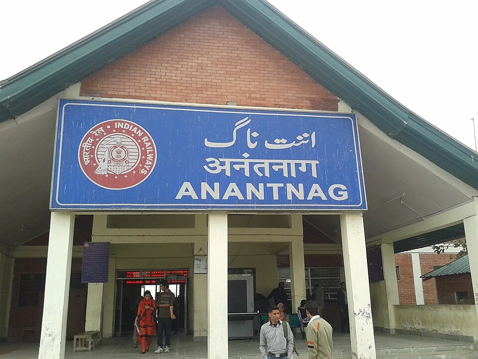
Anantnag railway station is a rail access point for southern Kashmir. It serves the Anantnag area within the Kashmir Valley corridor and is identified in the district administration’s travel information. The railway station is a specific destination, distinct from the general town centre and from the many villages and visitor sites within Anantnag district. [1]
Regional connections
The commissioning of the Udhampur–Srinagar–Baramulla Rail Link changes how older rail-access accounts should be interpreted. A description written before the wider connection opened can remain useful historical evidence while becoming unsuitable as a present statement about the network. The infrastructure record and the currently scheduled trains must still be considered separately. [2]
Anantnag is a useful reference for understanding how a railway corridor intersects a district with several road-based destinations. A passenger reaching the station may continue towards a town address or another part of southern Kashmir. The appropriate onward connection depends on that destination rather than on the district label alone.
Names, stations and booking
Booking requires the correct station identity. Similar regional names, a nearby town and an administrative district are not interchangeable fields in a railway search. A reader should confirm the station shown on the ticket and the departure information supplied by the railway, rather than infer it from an encyclopedia’s general map.
A train photograph is also limited evidence. It can show the station setting or a documented event, but it cannot prove that the pictured service still operates with the same route or frequency. The selected image is retained with its capture record for precisely that reason.
Position in the encyclopedia
Compare this entry with Anantnag town, Srinagar station and Baramulla station. These cross-references separate settlement history from transport infrastructure while showing how they connect. The coordinate marker gives orientation to the recorded station setting; it does not certify a public entrance or a step-free route. For a journey, use current official services and confirm the final transfer. For regional history, read older travel accounts against their publication dates so that a former network limitation is not mistakenly preserved as a current fact.
Image and map record
Image: Owais khursheed via Wikimedia Commons. Licence: CC BY-SA 4.0. Recorded capture date: 2014-10-14 12:04:32. Resized and converted to WebP; image content unchanged. This is a dated view, not confirmation of the site’s present appearance.
Map marker: 33.7386, 75.1074. Source-recorded orientation point, not a surveyed boundary, verified visitor entrance, campsite or present access guarantee. View location on OpenStreetMap · View Google Maps · Google directions · OpenStreetMap directions.
Research checked: 15 October 2026. For a visit, confirm current access, transport and opening information with the relevant authorities. This encyclopedia profile provides geographical and historical context.
Sources & references
[1] Anantnag administration: railway access
https://anantnag.nic.in/howto-reach/ ↗
[2] Press Information Bureau: commissioned USBRL railway connection, 2026
https://www.pib.gov.in/PressReleasePage.aspx?PRID=2295954&lang=1®=3 ↗
Image and licence
https://commons.wikimedia.org/wiki/File:Anantnag_railway_station_2.jpg ↗
Related reading
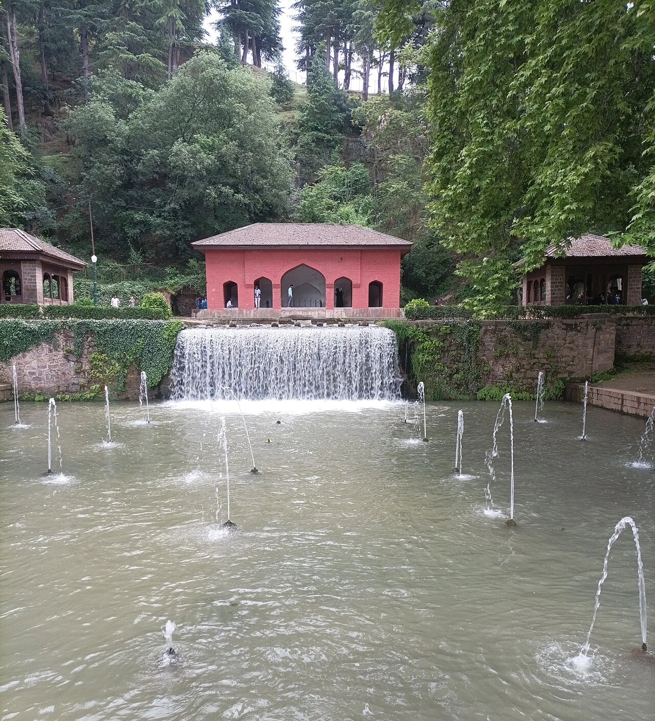
Achabal Garden: Spring-fed Terraces and Mughal Design
Achabal Garden is a Mughal garden in Anantnag district, arranged around a spring at the foot of a hill.
Anantnag: Town, Springs and Southern Kashmir
Anantnag is a major town and district headquarters in southern Kashmir. The name also refers to the surrounding district, so town history and district
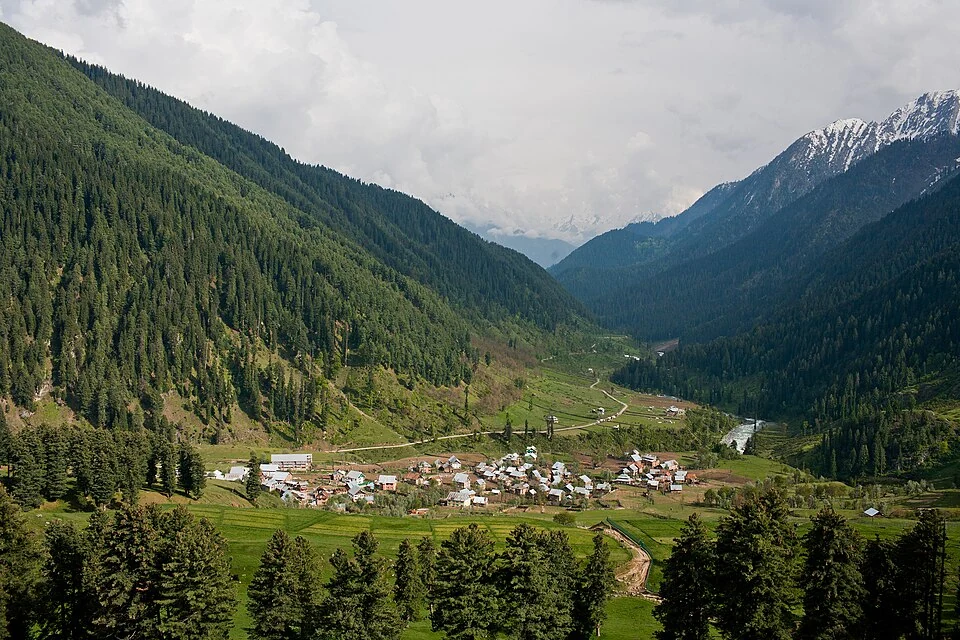
Aru: Village and Mountain Landscape above Pahalgam
Aru is a village and mountain visitor destination in Anantnag district, above the Pahalgam area. It is also known as Adav in Kashmiri. Meadows, settle