
Anantnag: Town, Springs and Southern Kashmir
Anantnag is a major town and district headquarters in southern Kashmir. The name also refers to the surrounding district, so town history and district-wide geography must be distinguished. Its springs, institutions and connections with the southern valley make it a regional centre rather than only a starting point for journeys elsewhere.
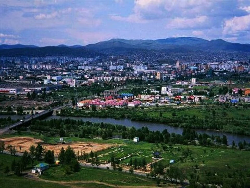
Anantnag is a major town and district headquarters in southern Kashmir. The name also refers to the surrounding district, so town history and district-wide geography must be distinguished. Its springs, institutions and connections with the southern valley make it a regional centre rather than only a starting point for journeys elsewhere.[1]
Names and springs
The district administration's historical account records Anantnag as the official name and Islamabad as another widely used local name. The latter refers here to the Kashmir town, not Pakistan's capital. Search and cross-reference systems should keep that geographical distinction clear.[2]
The official tourism account presents Anantnag through its springs and shrines. These features belong within an urban and regional landscape, but a district attraction list can extend far beyond the town. A spring or temple should have its own location record before being assigned to the central settlement.[3]
An urban centre in a wider district
Administrative headquarters concentrate public institutions, while markets and roads connect the town with surrounding places. That role can be explained without presenting an undated list of officials or assuming that every district service is physically located at one point.
Census material provides different totals for municipal and wider urban units. A population figure is only meaningful when its year and boundary are stated. This profile does not combine a district total with a town photograph or present an older census as a current count.[4]
A panoramic image shows the arrangement of buildings and surrounding terrain. It cannot independently identify the name and function of every visible institution. Close views, directories and local maps add the detail needed for a more precise urban account.
Read Bijbehara, Achabal Garden and Verinag Spring for separate southern-Kashmir settings. Pahalgam covers a distinct valley destination. The marker locates Anantnag town, not the district boundary, a bus terminal or an authenticated entry point to every spring. Current directions to an institution need its own address.
Image and map record
Image: Sauood07 via Wikimedia Commons. Licence: CC BY-SA 4.0. Recorded capture date: 2013-05-03. Resized and converted to WebP; image content unchanged. This is a dated view, not confirmation of the site’s present appearance.

Map marker: 33.73527778, 75.14777778. Source-recorded location for orientation; not a surveyed boundary, verified public entrance, current access guarantee or authorised stopping point. View location on OpenStreetMap · View Google Maps · Google directions · OpenStreetMap directions.
Research checked: 14 October 2026. For a visit, confirm current access, transport and opening information with the relevant authorities. This encyclopedia profile provides geographical and historical context.
Sources & references
[1] Reference overview: Anantnag
https://en.wikipedia.org/wiki/Anantnag ↗
[2] Anantnag administration: place-name history
https://anantnag.nic.in/history/ ↗
[3] Anantnag administration: springs, shrines and places
https://anantnag.nic.in/touristplaces-modern/ ↗
[4] Census of India: Anantnag district handbook, 2011
https://censusindia.gov.in/nada/index.php/catalog/490 ↗
Image and licence
https://commons.wikimedia.org/wiki/File:Anantnag_J%26K.jpg ↗
Related reading
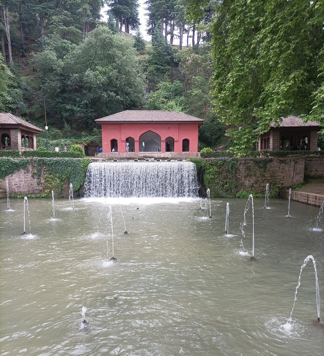
Achabal Garden: Spring-fed Terraces and Mughal Design
Achabal Garden is a Mughal garden in Anantnag district, arranged around a spring at the foot of a hill.
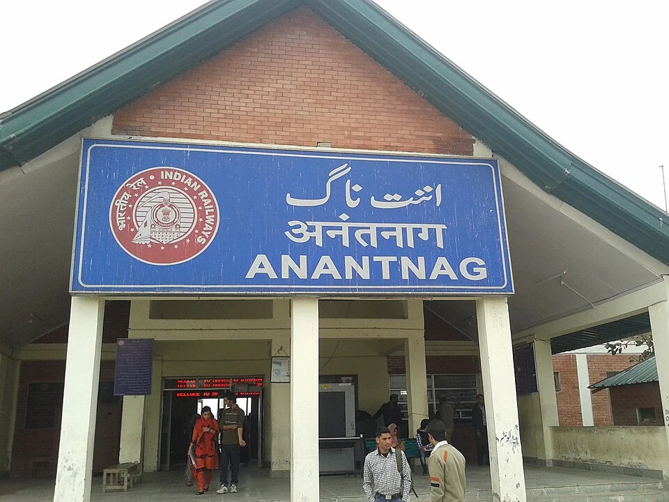
Anantnag Railway Station: Rail Access in Southern Kashmir
Anantnag railway station is a rail access point for southern Kashmir. It serves the Anantnag area within the Kashmir Valley corridor and is identified
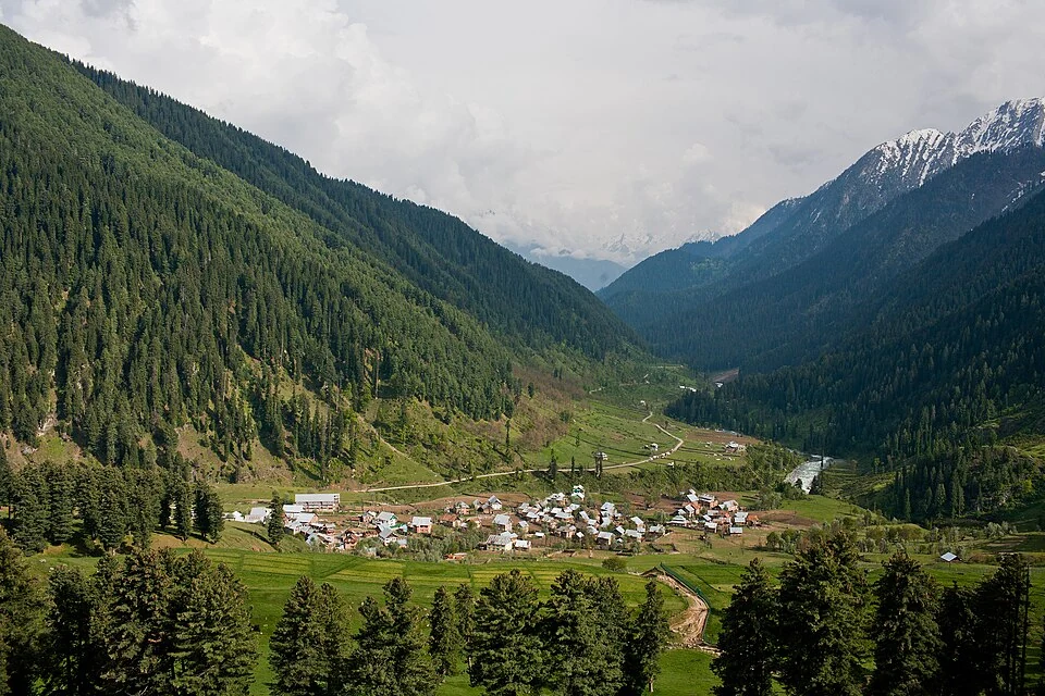
Aru: Village and Mountain Landscape above Pahalgam
Aru is a village and mountain visitor destination in Anantnag district, above the Pahalgam area. It is also known as Adav in Kashmiri. Meadows, settle