
Achabal Garden: Spring-fed Terraces and Mughal Design
Achabal Garden is a Mughal garden in Anantnag district, arranged around a spring at the foot of a hill.
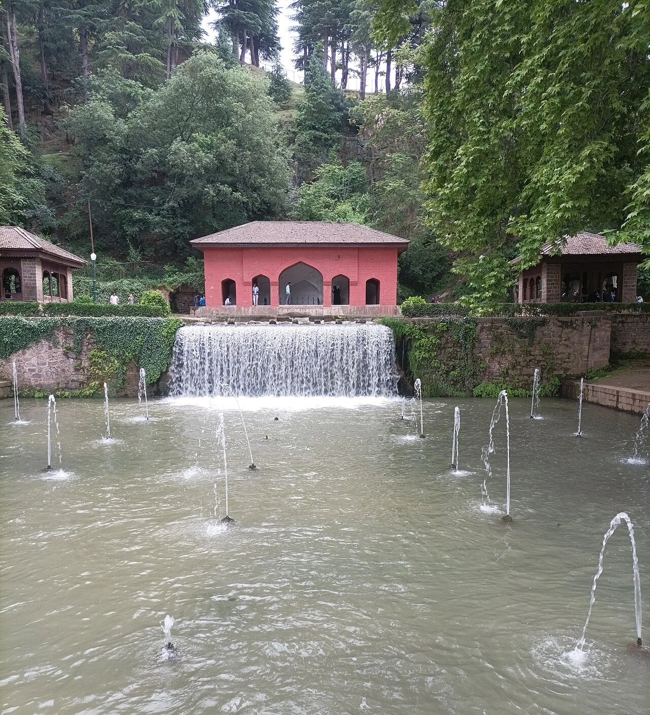
Achabal Garden is a Mughal garden in Anantnag district, arranged around a spring at the foot of a hill. Water is integral to its design: channels, cascades and pools work with the terraces rather than serving as unrelated ornaments. The garden is part of the larger town of Achabal, so the date of a garden phase should not be mistaken for the age of the settlement.[1]
A spring made architectural
The district description explains that spring water flows through three channels within the terraced garden and associates the spring with the Sonsanwar hill. It also records the traditional explanation that water disappearing from the Brengi stream re-emerges here. That account is best identified as a reported local hydrological explanation; it is not a substitute for a traced and measured underground-water study.[2]
Historical descriptions associate a major early-seventeenth-century garden phase with Nur Jahan and later changes with Jahanara. Reworking and restoration form part of the garden's subsequent history. As with other historic gardens, the present arrangement combines inherited design with maintenance and change, rather than preserving every plant and structure exactly as first laid out.[1]
Reading the terraces
Following the water offers a way to understand the composition. A channel links spaces visually and physically; a cascade makes a change in level audible as well as visible. The terraces divide the experience into successive spaces while retaining a relationship with the source above. Water, slope and planting therefore need to be considered together.
The impression of a garden also changes with season, weather and maintenance. A photograph of full flowerbeds documents one moment, not an invariant planting scheme. Similarly, a close view of a fountain cannot establish the condition of the whole water system. Built elements and living vegetation have different timescales, which is one reason garden conservation involves more than preserving masonry.
Compare Achabal with Shalimar and Nishat, while noting that Achabal's spring setting differs from gardens overlooking Dal Lake. The nearby Verinag entry provides another Mughal-era example of giving a spring an architectural form. These connections explain design and patronage without assuming that all the gardens had one founder or identical layouts.
Photograph and map record
Photograph: TheAafi via Wikimedia Commons. Licence: CC BY-SA 4.0. Recorded capture date: 2022-05-06 13:04:49. Resized and converted to WebP; scene content unchanged. This is a dated view, not confirmation of the site’s present appearance.

Map marker: 33.6831, 75.2222. Representative location from the secondary geographical record, not a surveyed boundary or verified visitor entrance. View location on OpenStreetMap · View Google Maps · Google directions · OpenStreetMap directions.
Research checked: 14 October 2026. For a visit, confirm current access, transport and opening information with the relevant authorities. This encyclopedia profile provides geographical and historical context.
Sources & references
[1] Achabal Gardens — secondary historical/geographical overview
https://en.wikipedia.org/wiki/Achabal_Gardens ↗
[2] Anantnag district: Achabal spring and garden
https://anantnag.nic.in/tourist-place/achabal/ ↗
Photograph and licence
https://commons.wikimedia.org/wiki/File:A_view_of_the_Achabal_Gardens,_Kashmir.jpg ↗
Related reading
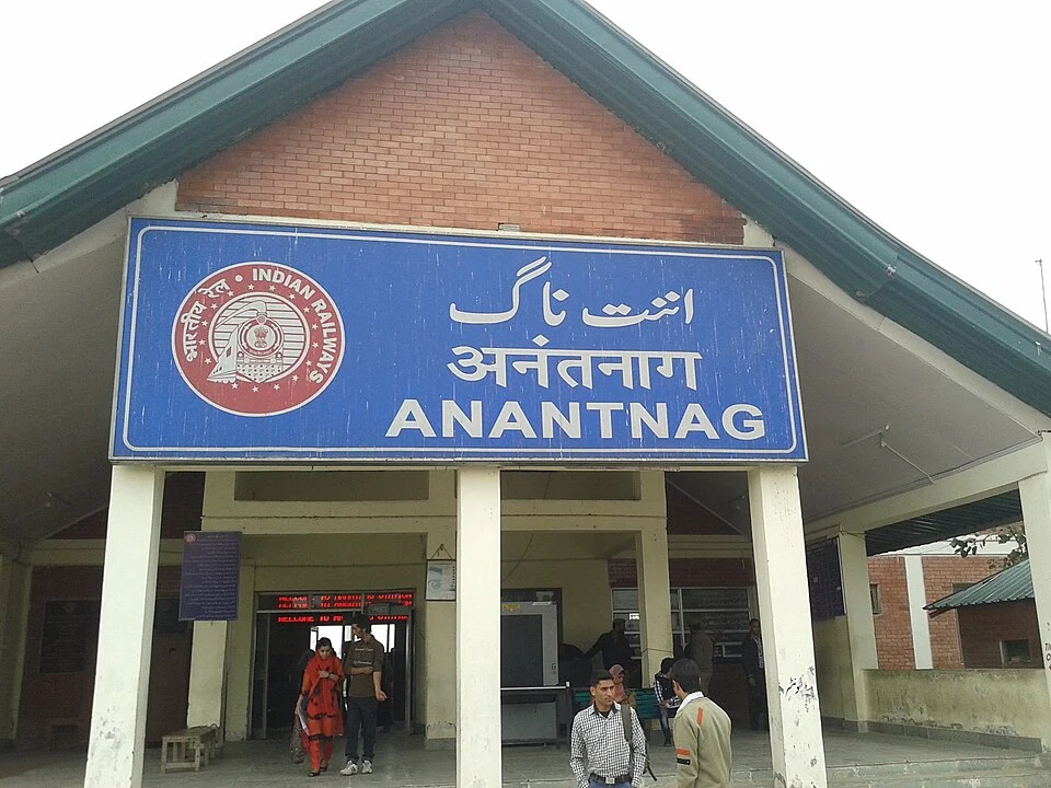
Anantnag Railway Station: Rail Access in Southern Kashmir
Anantnag railway station is a rail access point for southern Kashmir. It serves the Anantnag area within the Kashmir Valley corridor and is identified
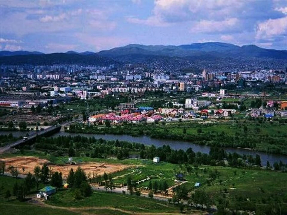
Anantnag: Town, Springs and Southern Kashmir
Anantnag is a major town and district headquarters in southern Kashmir. The name also refers to the surrounding district, so town history and district
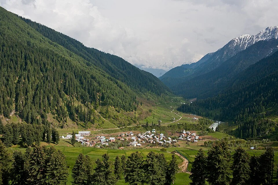
Aru: Village and Mountain Landscape above Pahalgam
Aru is a village and mountain visitor destination in Anantnag district, above the Pahalgam area. It is also known as Adav in Kashmiri. Meadows, settle