
Aru: Village and Mountain Landscape above Pahalgam
Aru is a village and mountain visitor destination in Anantnag district, above the Pahalgam area. It is also known as Adav in Kashmiri. Meadows, settlement buildings and mountain approaches form its setting, but the village should not be treated as merely the name of a trekking camp or confused with every place in the wider Aru landscape.
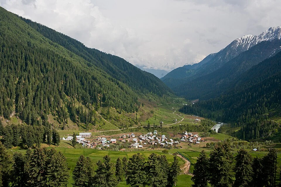
Aru is a village and mountain visitor destination in Anantnag district, above the Pahalgam area. It is also known as Adav in Kashmiri. Meadows, settlement buildings and mountain approaches form its setting, but the village should not be treated as merely the name of a trekking camp or confused with every place in the wider Aru landscape. [1]
Village and walking gateway
Official tourism material identifies Aru as a rural destination in the Anantnag landscape. Walking accounts connect the area with places such as Tarsar and the Kolahoi-side mountains. The village is a geographical starting reference; the exact route, roadhead and camp used by an individual itinerary require separate information. [2]
A gateway settlement connects road arrival with journeys farther into mountain terrain. This does not make the entire surrounding landscape accessible by vehicle. The point where a passenger leaves a road and the destination reached after walking can be far apart in both distance and elevation.
An inhabited landscape
Aru’s appearance includes the relationship between village structures and open ground. A panoramic photograph can show this arrangement, while a closer view may emphasize homes or a path. Neither records the whole community or establishes that every photographed building offers visitor accommodation.
The word valley can describe a broader landscape than the village itself. An image captioned Aru Valley therefore needs to preserve its actual viewpoint instead of claiming to show the village centre. Keeping settlement and landscape names distinct improves both maps and photo identification.
Connections beyond the village
Read Aru with Pahalgam, Tarsar, Marsar and the Overa–Aru sanctuary entry to distinguish a settlement, waterbodies and a protected landscape. Their names overlap in route descriptions without becoming interchangeable destinations. The village marker offers orientation, not a verified trekking departure point or a surveyed sanctuary entrance. Current local arrangements are required for accommodation and walking access. The accompanying image retains its recorded date and subject, making it evidence of a particular village view rather than a promise about present services. Understanding Aru through both settlement life and mountain connections gives a fuller account than treating it only as scenic foreground.
Image and map record
Image: KennyOMG via Wikimedia Commons. Licence: CC BY-SA 4.0. Recorded capture date: 2010-05-10. Resized and converted to WebP; image content unchanged. This is a dated view, not confirmation of the site’s present appearance.
Map marker: 34.09083333, 75.26333333. Source-recorded orientation point, not a surveyed boundary, verified visitor entrance, campsite or present access guarantee. View location on OpenStreetMap · View Google Maps · Google directions · OpenStreetMap directions.
Research checked: 15 October 2026. For a visit, confirm current access, transport and opening information with the relevant authorities. This encyclopedia profile provides geographical and historical context.
Sources & references
[1] Wikipedia: Aru, Jammu and Kashmir (secondary overview)
https://en.wikipedia.org/wiki/Aru%2C_Jammu_and_Kashmir ↗
[2] Incredible India: Aru rural tourism
https://www.incredibleindia.gov.in/en/rural-tourism/aru ↗
Image and licence
Related reading
Achabal Garden: Spring-fed Terraces and Mughal Design
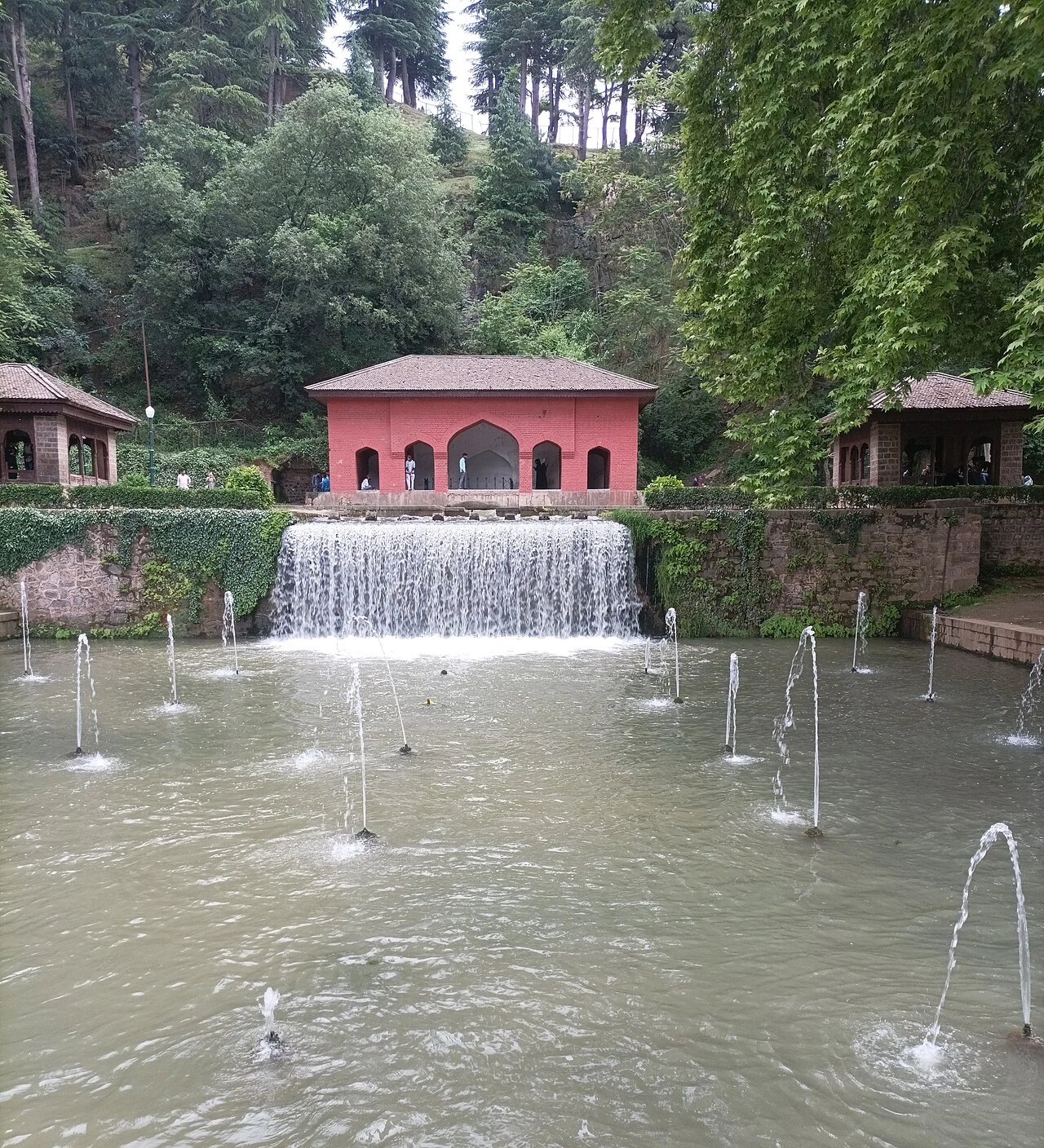
Achabal Garden is a Mughal garden in Anantnag district, arranged around a spring at the foot of a hill.
Anantnag Railway Station: Rail Access in Southern Kashmir
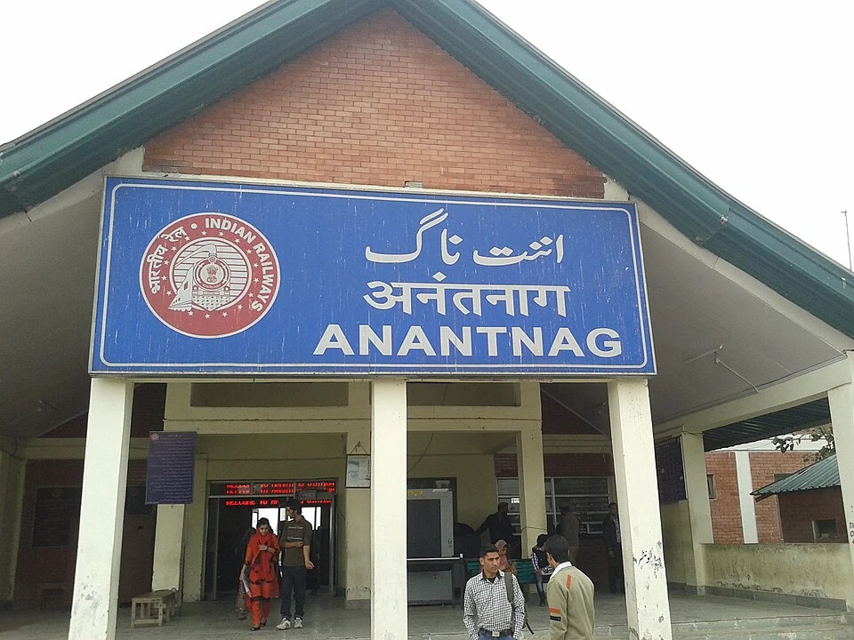
Anantnag railway station is a rail access point for southern Kashmir. It serves the Anantnag area within the Kashmir Valley corridor and is identified
Anantnag: Town, Springs and Southern Kashmir
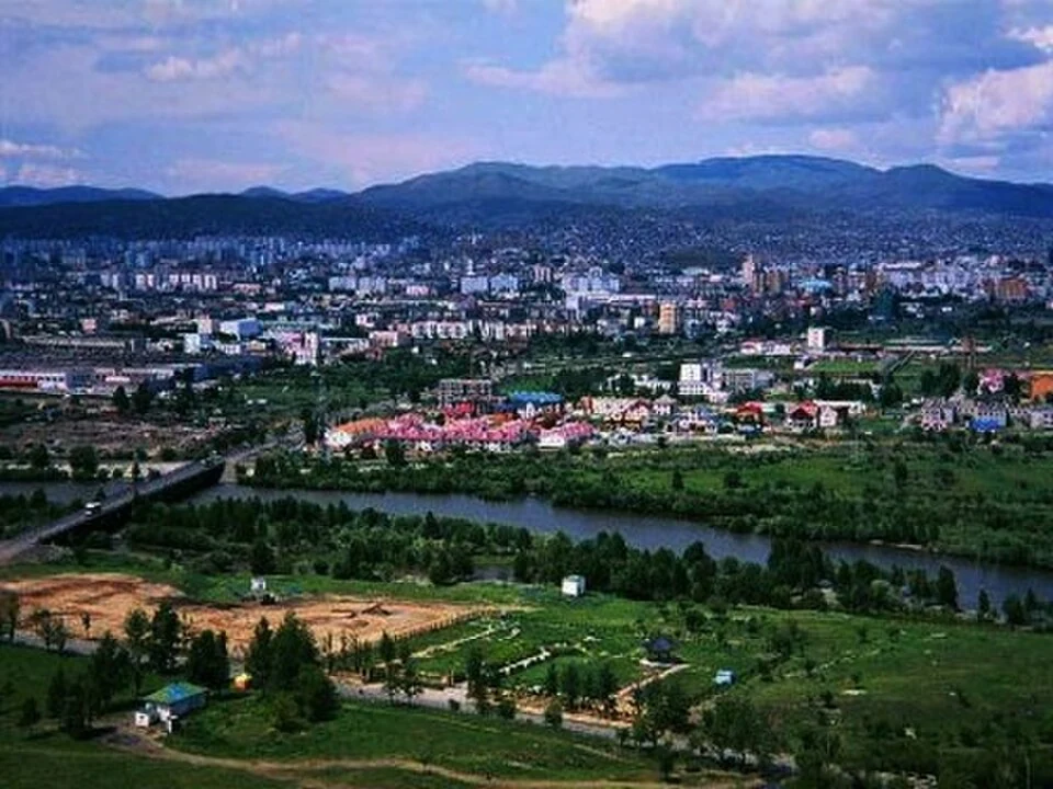
Anantnag is a major town and district headquarters in southern Kashmir. The name also refers to the surrounding district, so town history and district