
Baramulla Railway Station: Rail and Northern Kashmir
Baramulla railway station serves the northern Kashmir town and its surroundings. The district administration describes the railway connection as part of the town’s access network. The station and the town centre are separate points, so a journey ending by rail may still require a local connection to a home, office or onward road destination.
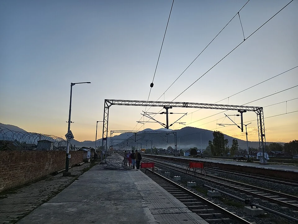
Baramulla railway station serves the northern Kashmir town and its surroundings. The district administration describes the railway connection as part of the town’s access network. The station and the town centre are separate points, so a journey ending by rail may still require a local connection to a home, office or onward road destination. [1]
A northern valley rail reference
Official railway material records the completion of the Udhampur–Srinagar–Baramulla Rail Link, placing the valley line within a wider connected network. This is different from saying that every station has the same direct departures or that all possible journeys require no transfer. Service patterns must be checked independently of infrastructure completion. [2]
Baramulla’s railway role can be understood by comparing it with Srinagar and Anantnag stations farther along the valley corridor. The sequence links different settlement areas while providing an alternative way of moving between them. The importance of a station is therefore partly relational: its usefulness depends on the places the network connects.
Rail and road together
An arrival platform does not complete every passenger’s journey. Connections with local streets, hired vehicles and onward destinations help explain how the station serves a town beyond the railway boundary. An exact accommodation address is more useful for planning that final stage than a broad district name.
Maps can show the station’s location, but they do not guarantee that a suggested pedestrian route is open, suitable for luggage or accessible to every traveller. Railway crossings, station entrances and the availability of local transport require current confirmation. A source-recorded marker is an orientation aid rather than a complete access assessment.
Documenting the institution
The accompanying photograph identifies the station and its recorded appearance. It does not establish the present timetable or every passenger facility. Use the operator’s current train information for departures and booking, and the district’s access material for geographical context. Read this profile with the Baramulla-town and Jhelum entries to connect transport infrastructure with northern Kashmir’s urban and river landscape. Keep any future railway proposals separate from operating services until official records confirm that those services have begun.
Image and map record
Image: ????? ???27 via Wikimedia Commons. Licence: CC0. Recorded capture date: 2026-04-14 18:43:57. Resized and converted to WebP; image content unchanged. This is a dated view, not confirmation of the site’s present appearance.
Map marker: 34.2208, 74.3884. Source-recorded orientation point, not a surveyed boundary, verified visitor entrance, campsite or present access guarantee. View location on OpenStreetMap · View Google Maps · Google directions · OpenStreetMap directions.
Research checked: 15 October 2026. For a visit, confirm current access, transport and opening information with the relevant authorities. This encyclopedia profile provides geographical and historical context.
Sources & references
[1] Baramulla administration: travel access
https://baramulla.nic.in/how-to-reach/ ↗
[2] Press Information Bureau: commissioned USBRL railway connection, 2026
https://www.pib.gov.in/PressReleasePage.aspx?PRID=2295954&lang=1®=3 ↗
Image and licence
https://commons.wikimedia.org/wiki/File:Baramulla_railway_station_01.jpg ↗
Related reading
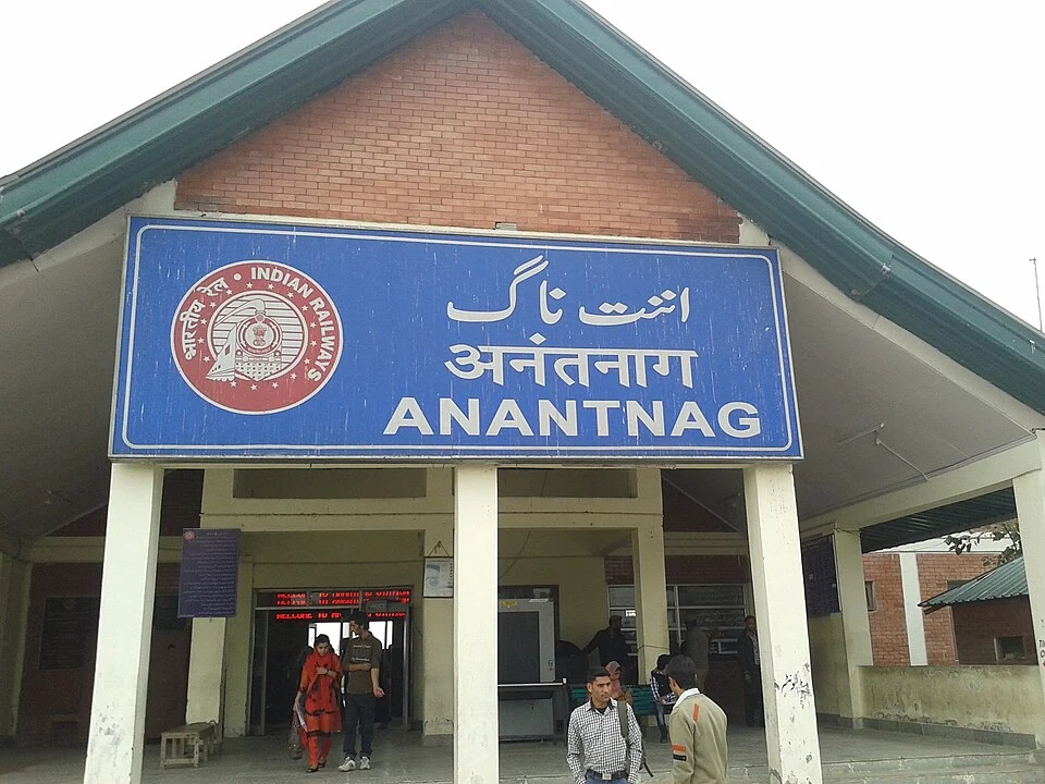
Anantnag Railway Station: Rail Access in Southern Kashmir
Anantnag railway station is a rail access point for southern Kashmir. It serves the Anantnag area within the Kashmir Valley corridor and is identified
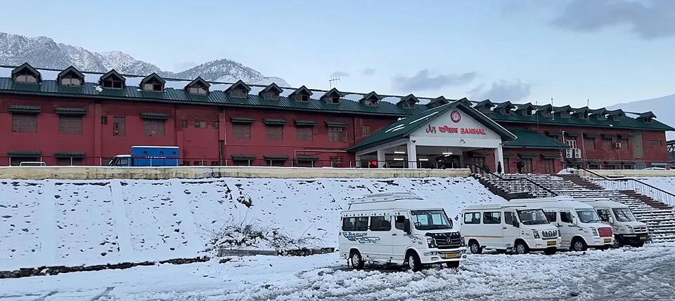
Banihal Railway Station: The Pir Panjal Rail Connection
Banihal railway station lies in Ramban district on the rail route connecting the Jammu hills with the Kashmir Valley.
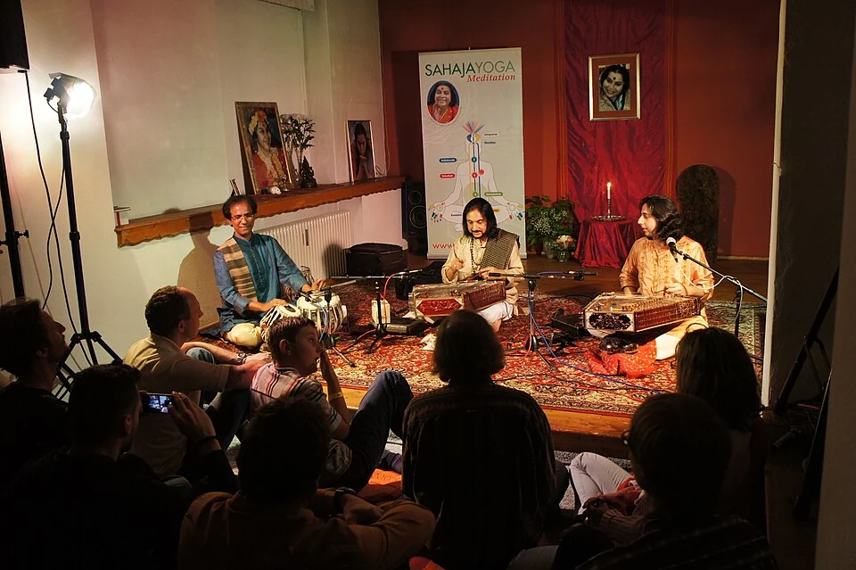
Bhajan Sopori: Santoor, Composition and Kashmir’s Musical Traditions
Bhajan Sopori was a santoor player, composer, musicologist and teacher associated with Kashmir’s musical life. He lived from 1948 to 2022. His biograp