
Banihal Railway Station: The Pir Panjal Rail Connection
Banihal railway station lies in Ramban district on the rail route connecting the Jammu hills with the Kashmir Valley.
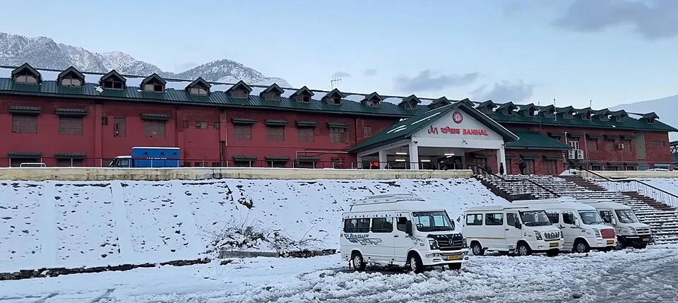
Banihal railway station lies in Ramban district on the rail route connecting the Jammu hills with the Kashmir Valley. Its location gives it particular importance near the southern approach to the Pir Panjal rail tunnel. Banihal town, the station and the tunnel are separate features, even though their names often appear together in accounts of the same journey.[1]
Across the Pir Panjal
The Banihal–Qazigund railway section was dedicated in June 2013. The Ministry of Railways opening account explains the section's use of the Pir Panjal tunnel and its role in crossing difficult mountain terrain. This rail tunnel should not be confused with the road tunnels on the Jammu–Srinagar corridor, which serve a different transport system.[2]
The tunnel allows the railway to pass beneath terrain that a surface route would negotiate differently. A railway's permitted gradients and curves differ from those of a road, so tunnels and bridges are integral to its alignment. The station is a place where passengers meet that engineered network, not an entrance through which visitors can independently walk along the tunnel.
From a section to a regional link
Banihal's railway role changed as sections toward Sangaldan and Katra were completed. The opening of the full USBRL link in June 2025 connected previously separate operational stretches. Earlier accounts describing Banihal only as the end of an isolated Kashmir rail service must therefore be read in their historical context.[3]
A completed infrastructure link and a particular passenger service are different facts. Not every train necessarily stops at every station, and a service may require advance booking or a connection. Station identity remains stable while schedules, platform assignments and operating notices change. This profile consequently explains the route without embedding a timetable that may soon become stale.
Compare the rail arrival points at Jammu Tawi and Katra, and the gorge crossings at the Chenab and Anji bridges. Sanasar provides a separate Ramban landscape context. The marker locates the railway station; it does not confirm an accessible entrance or a safe pedestrian route from any neighbouring place.
Photograph and map record
Photograph: Sid Sharma5911 via Wikimedia Commons. Licence: CC BY 4.0. Recorded capture date: 2026-01-25 22:28:27. Resized and converted to WebP; scene content unchanged. This is a dated view, not confirmation of the site’s present appearance.

Map marker: 33.4507, 75.1892. Representative location from the secondary geographical record, not a surveyed boundary or verified visitor entrance. View location on OpenStreetMap · View Google Maps · Google directions · OpenStreetMap directions.
Research checked: 14 October 2026. For a visit, confirm current access, transport and opening information with the relevant authorities. This encyclopedia profile provides geographical and historical context.
Sources & references
[1] Banihal railway station — secondary historical/geographical overview
https://en.wikipedia.org/wiki/Banihal_railway_station ↗
[2] Ministry of Railways: Banihal–Qazigund opening, 26 June 2013
https://www.pib.gov.in/newsite/erelcontent.aspx?lang=2®=48&relid=96793 ↗
[3] PIB: Jammu and Kashmir railway infrastructure overview, June 2025
https://www.pib.gov.in/PressNoteDetails.aspx?ModuleId=3&NoteId=154553&lang=1®=6 ↗
Photograph and licence
https://commons.wikimedia.org/wiki/File:Banihal_railway.jpg ↗
Related reading
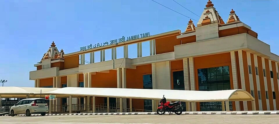
Jammu Tawi Railway Station: A Gateway to the Jammu Region
Jammu Tawi railway station, code JAT, is a major rail gateway for Jammu city and the surrounding region.
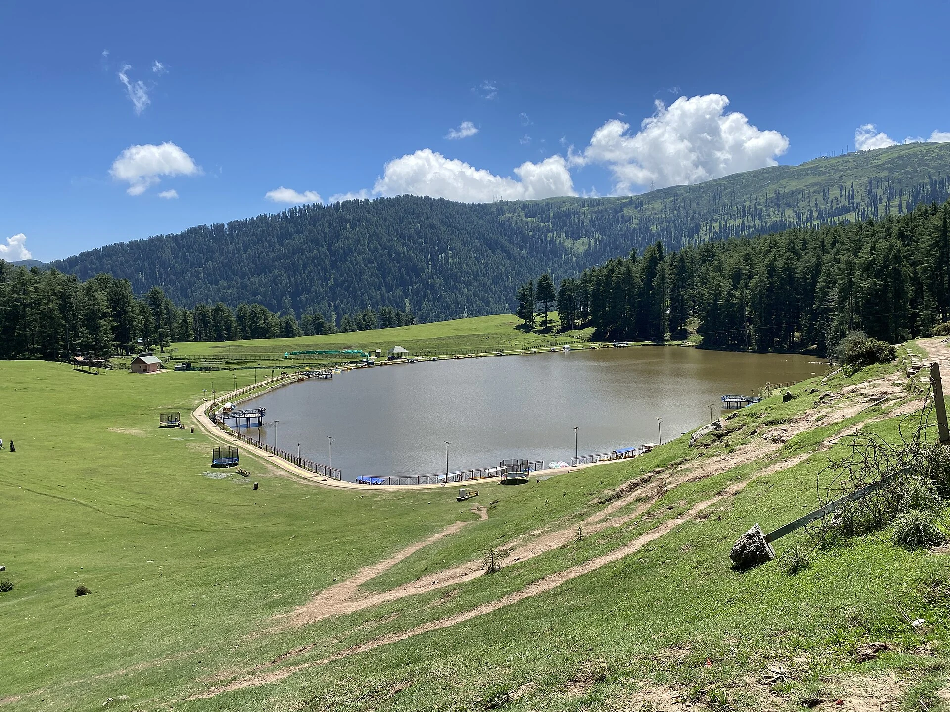
Sanasar: Two Villages, Meadow and a Mountain Lake
Sana and Sar, their lake-and-meadow landscape and the need to distinguish older administrative labels.
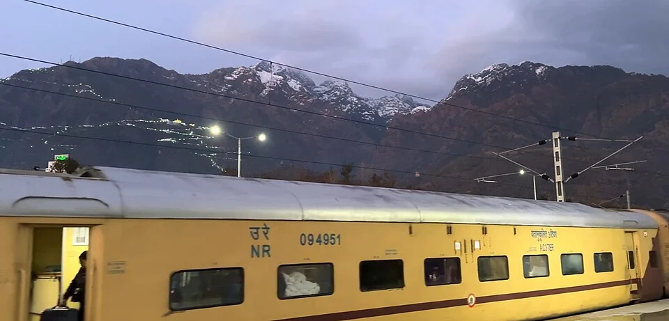
Shri Mata Vaishno Devi Katra Station: Railway and Pilgrimage
Shri Mata Vaishno Devi Katra railway station, code SVDK, serves Katra in Reasi district.