
Government College for Women, M. A. Road: Higher Education in Srinagar
Government College for Women, M.A. Road, is a higher education institution in Srinagar.
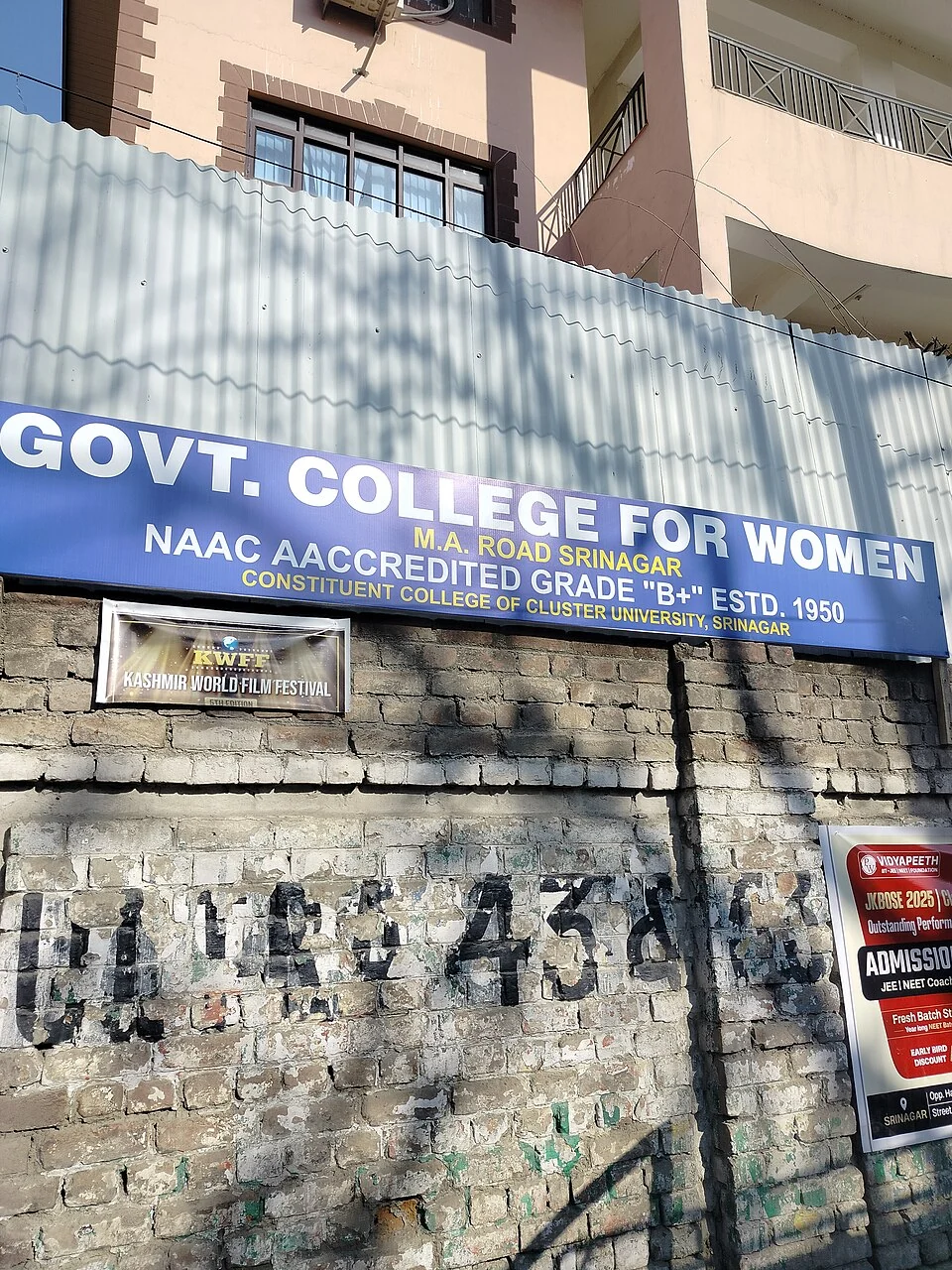
Government College for Women on M. A. Road is a higher-education institution in central Srinagar. Its official profile dates its establishment to 1950 and identifies it within the Cluster University of Srinagar framework. The street designation is important because other institutions carry similar Government College for Women names.[1]
Women's higher education
The college's published information lists teaching across arts, sciences and other disciplines. These fields indicate the breadth of its academic role without implying that every course is open in every admission round. A department, a degree programme and an optional subject are different academic units and should be identified through the relevant prospectus.[2]
Its history belongs to the expansion of women's access to higher education in Kashmir. Institutional dates and records provide a basis for studying that development, while the experience of individual students requires other evidence. Neither a large course list nor a photograph of a campus can by itself measure access or educational outcomes.
Reading the institutional record
The college website separates admissions, departments and notices. These sections serve different purposes: a historical profile explains the institution, while an admission notice specifies a particular academic process. Readers should identify the notice year and programme instead of treating an old PDF as a current offer.[2]
Buildings and signboards also help distinguish the campus from similarly named colleges elsewhere. The accompanying source-labelled signboard image identifies this Srinagar institution; it is not a picture of another city's women's college or a representation of every teaching facility inside the campus.
Compare SP College and Amar Singh College for other city institutions. Tyndale Biscoe School provides a different educational level and historical setting. Together these entries connect school and college histories without equating their aims, curricula or admission arrangements. The map point is campus orientation, not a confirmed visitor entrance.
Photograph and map record
Photograph: ???? ????? via Wikimedia Commons. Licence: CC0. Recorded capture date: 2026-02-25 15:33:58. Resized and converted to WebP; scene content unchanged. This is a dated view, not confirmation of the site’s present appearance.

Map marker: 34.083, 74.797. District-context marker only; an independently verified campus entrance coordinate was not available for this entry. It should not be used as the exact institution location. View location on OpenStreetMap · View Google Maps · Google directions · OpenStreetMap directions.
Research checked: 14 October 2026. For a visit, confirm current access, transport and opening information with the relevant authorities. This encyclopedia profile provides geographical and historical context.
Sources & references
[1] Directorate of Colleges: M. A. Road college profile
[2] Government College for Women, M. A. Road: official programmes and notices
https://www.gcwmaroad.edu.in/ ↗
Photograph and licence
Related reading
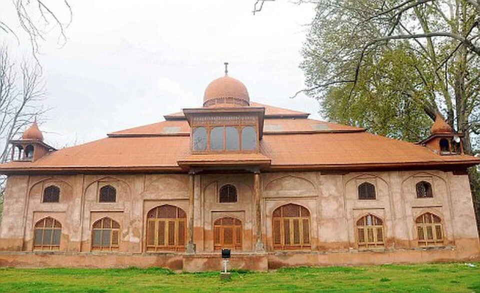
Aali Masjid: Open Ground and a Historic Srinagar Mosque
Aali Masjid, also written Ali Masjid, is a historic mosque in Srinagar's Eidgah area.
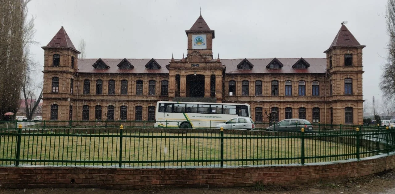
Amar Singh College: Education, Campus Heritage and Institutional Change
The growth of an educational institution from a technical institute, with campus conservation and academic resources.
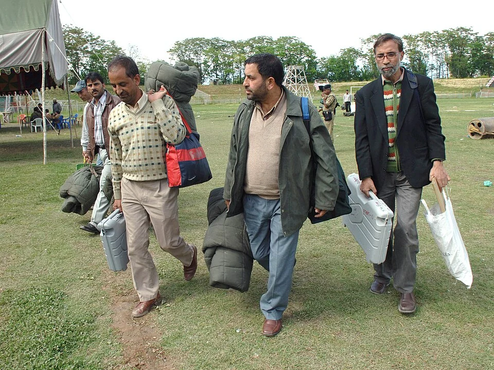
Bakshi Stadium: Football and a Public Sports Venue in Srinagar
Bakshi Stadium is a major sports venue in Srinagar, particularly associated with football.