
Bakshi Stadium: Football and a Public Sports Venue in Srinagar
Bakshi Stadium is a major sports venue in Srinagar, particularly associated with football.
Bakshi Stadium is a major sports venue in Srinagar, particularly associated with football. It should be distinguished from the city's Sher-i-Kashmir cricket stadium. A shared city and sporting role do not make the grounds identical: their playing spaces, institutional connections and event histories are separate subjects.[1]
A venue and its development
Government records identify renovation and development of Bakshi Stadium within sports-infrastructure investment. Such a record concerns a project at a particular time, not a permanent guarantee about every facility or the present number of spectator places. Stadium histories include maintenance and adaptation as well as the original construction.[2]
The Jammu and Kashmir Sports Council identifies an administrative complex at the stadium. This adds an institutional function beside the playing ground: a sports venue can also contain offices and supporting facilities. A visitor seeking an administrative office may therefore have a different destination from a spectator attending a match.[3]
Sport and public events
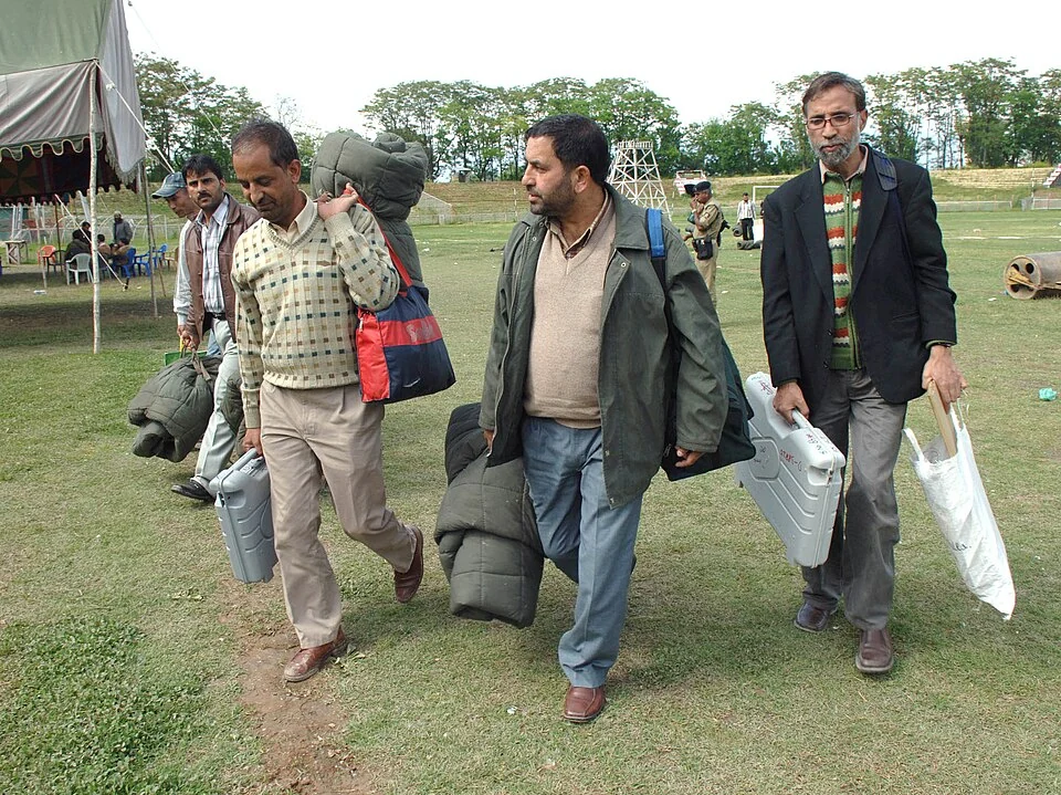
Large grounds can be used for occasions beyond their principal sport. The historical image accompanying this entry documents an election-related event at Bakshi Stadium in 2009, not a current football fixture. Its date and activity are retained so that the image contributes to the site's public-use history without misrepresenting the photographed scene.
For sporting events, the pitch, stands and spectator arrangements each matter. A general view does not establish seat allocation, ticket availability or step-free access. Those details belong to the organiser's current event information. The venue's identity remains stable even when its programme changes.
Compare Sher-i-Kashmir Stadium for a separate cricket venue and Kashmir Willow for the making of sporting equipment. Ice Hockey in Ladakh introduces a different regional sports landscape. This entry describes a venue and its connections; it does not supply a live fixtures list or infer public entry from the existence of a road beside the ground.
Photograph and map record
Photograph: Election Commission of India via Wikimedia Commons. Licence: GODL-India. Recorded capture date: 2009-05-06 15:15:11. Resized and converted to WebP; scene content unchanged. This is a dated view, not confirmation of the site’s present appearance.

Map marker: 34.0632055, 74.8049022. OpenStreetMap place record; an orientation marker rather than a verified visitor entrance. Confirm current access and accessibility with the institution. View location on OpenStreetMap · View Google Maps · Google directions · OpenStreetMap directions.
Research checked: 14 October 2026. For a visit, confirm current access, transport and opening information with the relevant authorities. This encyclopedia profile provides geographical and historical context.
Sources & references
[1] Bakshi Stadium — secondary historical/geographical overview
https://en.wikipedia.org/wiki/Bakshi_Stadium ↗
[2] Parliamentary reply: renovation and development of Bakshi Stadium, July 2022
https://sansad.in/getFile/annex/257/AU1432.pdf?source=pqars ↗
[3] Jammu and Kashmir Sports Council: Bakshi Stadium administrative complex
[4] OpenStreetMap: named stadium place record
https://www.openstreetmap.org/way/168101877 ↗
Photograph and licence
https://data.gov.in/sites/default/files/Gazette_Notification_OGDL.pdf ↗
Related reading
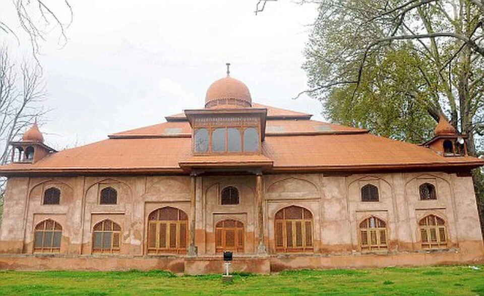
Aali Masjid: Open Ground and a Historic Srinagar Mosque
Aali Masjid, also written Ali Masjid, is a historic mosque in Srinagar's Eidgah area.
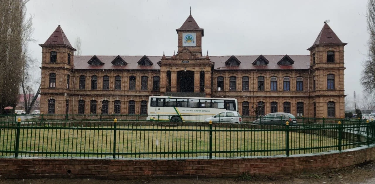
Amar Singh College: Education, Campus Heritage and Institutional Change
The growth of an educational institution from a technical institute, with campus conservation and academic resources.
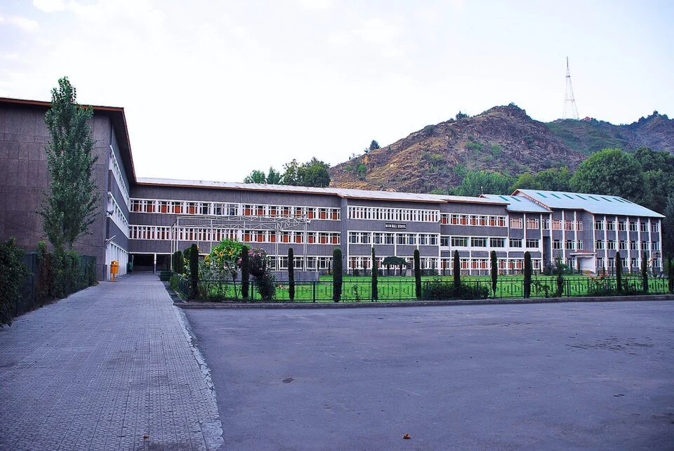
Burn Hall School: Education and Institutional History in Srinagar
Burn Hall School is a Srinagar school with a history rooted in missionary education.