
Pahalgam: Lidder Valley, Settlement and Pilgrimage Connections
Pahalgam’s river setting, name, neighbouring valleys and role in the Amarnath pilgrimage landscape.
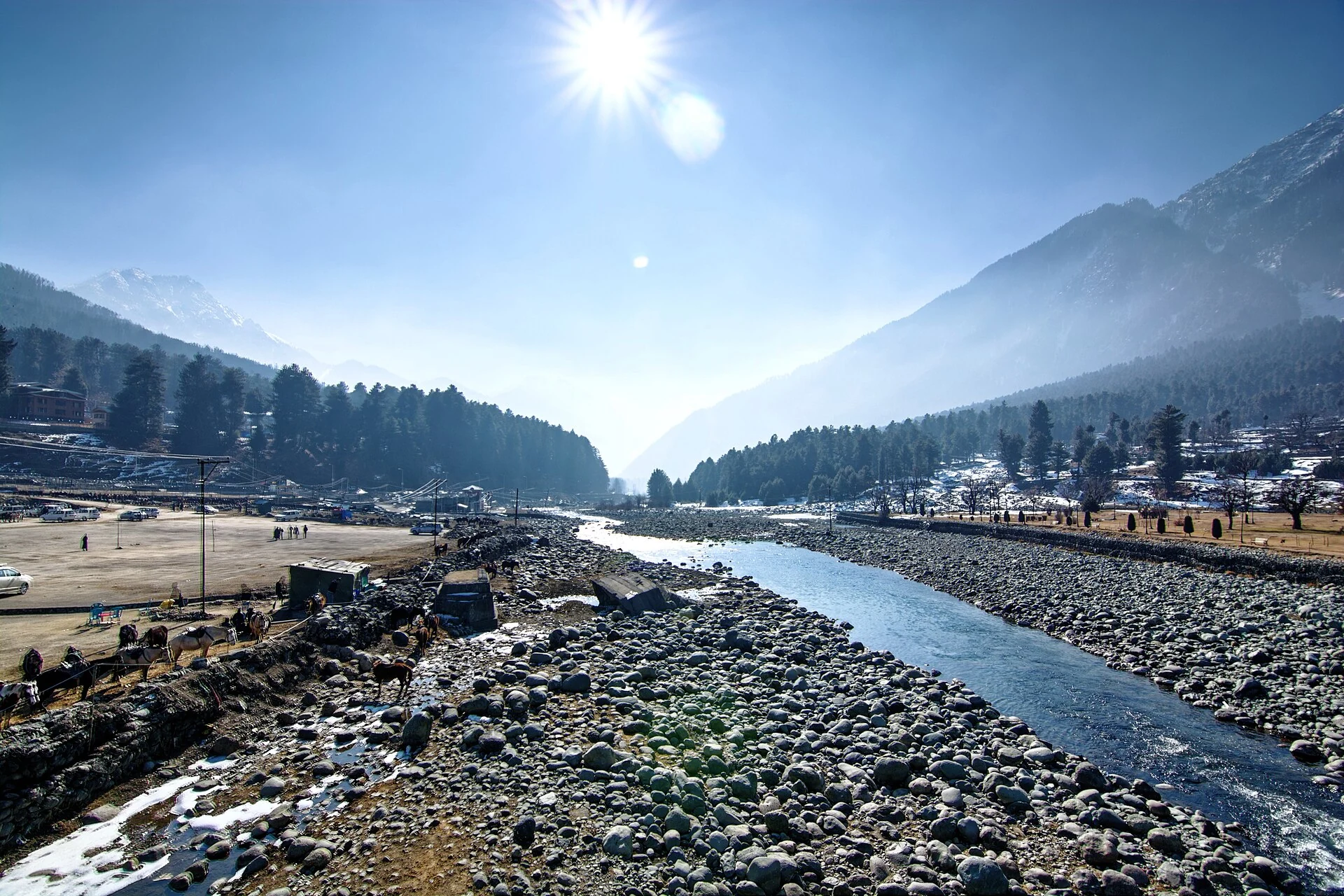
Pahalgam is a town and mountain resort in Anantnag district, in the Kashmir region of Jammu and Kashmir. The Lidder River is the central geographical feature of the settlement. Forested hills, converging valleys and connections with the Amarnath pilgrimage give Pahalgam several overlapping identities: inhabited town, river landscape, recreation centre and pilgrimage gateway. An encyclopedia profile should preserve all of these dimensions rather than describe it only through holiday activities.[1]
Name and river geography
The Kashmiri name is commonly explained as “village of the shepherds”, combining words associated with shepherds and settlement. The spelling Pahalgom also occurs. The secondary geographical account places the town at approximately 2,200 metres and describes the meeting of the East and West Lidder near Pahalgam. One valley leads towards Aru, while another extends towards the Amarnath side. This branching arrangement is fundamental to understanding its neighbouring places.[2]
The Lidder landscape belongs to the wider drainage geography of the Kashmir Valley. At the scale of the town, however, riverbanks, bridges and settled ground are more useful points of orientation than a general label such as “Pahalgam valley”. The photograph accompanying this entry shows a particular river view, not the whole drainage basin. Its geotag is used as a representative local marker, rather than a survey of the town boundary.
Neighbouring landscapes and heritage
The Ministry of Tourism presents Pahalgam alongside Aru, Betaab Valley and Chandanwari, as well as activities associated with the surrounding mountains and river. These names describe separate places and routes. An article about the town can introduce them, but their individual histories, terrain and access arrangements belong in dedicated entries. This distinction avoids making every neighbouring attraction appear to lie inside one compact settlement.[3]
The same tourism account identifies Mamleshwar Temple and the wider devotional landscape. Religious heritage and outdoor recreation coexist in the regional profile. They involve different uses of space: a shrine is a place of worship, a riverbank is part of a watercourse, and a mountain route is a connection through changing terrain. Cross-references are most useful when they make these relationships clear.[3]
Pilgrimage connection
The district administration describes Pahalgam as an important transit point on the way to the Amarnath cave. The secondary account also connects it with the annual pilgrimage. This is a recurring religious association, rather than a guarantee of unrestricted access on any chosen day. Pilgrimage dates, registration and route arrangements should be checked against the current organising authority’s information.[1][2]
Regional transport and related entries
Srinagar Airport is the airport identified in the district destination guide. Road connections link Pahalgam with Anantnag and Srinagar. The guide’s older railhead description predates more recent regional changes and should be read in that context.[1]
Regional railway access changed with the USBRL dedication and Katra–Srinagar train inauguration in June 2025. Present station connections and schedules need current verification.[4]
Compare Sonamarg and Gulmarg for other resort landscapes. The entry on the Jhelum in Srinagar follows a different part of Kashmir’s river geography.
Photograph and map record
Photograph: Slyronit via Wikimedia Commons. Licence: CC BY-SA 4.0. Recorded capture date: 2018-01-12 12:27:15. Resized and converted to WebP; scene content unchanged. This is a dated view, not confirmation of the site’s present appearance.

Map marker: 34.011239, 75.3169. Photograph geotag; representative view location, not a town boundary or approved arrival point. View location on OpenStreetMap.
Research checked: 13 October 2026. For a visit, confirm current access, transport and opening information with the relevant authorities. This encyclopedia profile provides geographical and historical context.
Sources & references
[1] District Anantnag — Pahalgam
https://anantnag.nic.in/tourist-place/pahalgam/ ↗
[2] Pahalgam — secondary geographical and linguistic reference
https://en.wikipedia.org/wiki/Pahalgam ↗
[3] Ministry of Tourism — Pahalgam
https://www.incredibleindia.gov.in/en/jammu-and-kashmir/pahalgam ↗
[4] Prime Minister’s Office — June 2025 rail connectivity
Photograph and licence
https://commons.wikimedia.org/wiki/File:Lidder_at_Pahalgam.jpg ↗
Related reading
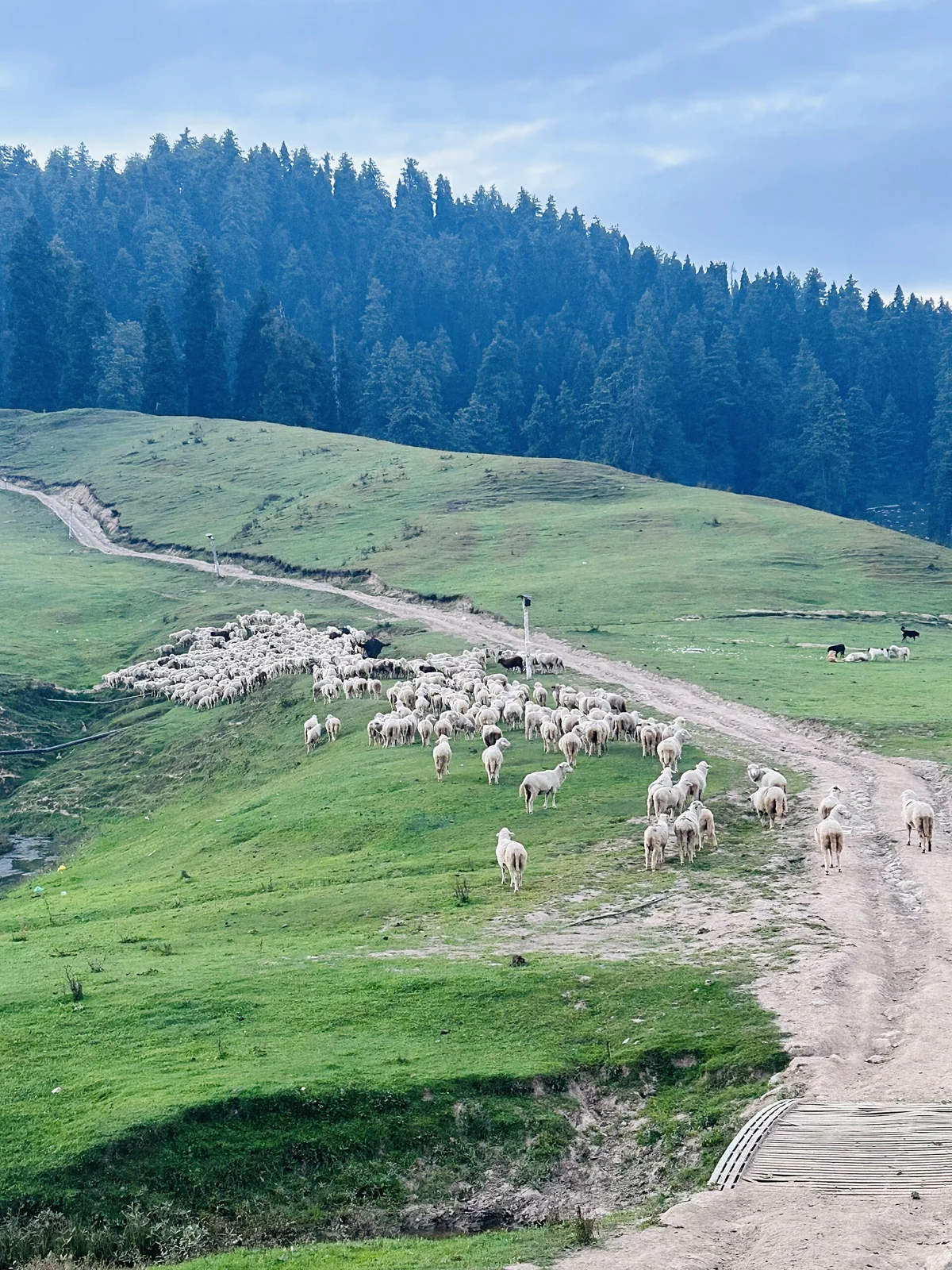
Gulmarg: Meadow, Resort History and Winter Sports
A connected profile of Gulmarg’s upland meadow, historical patronage, recreational landscape and winter sports.
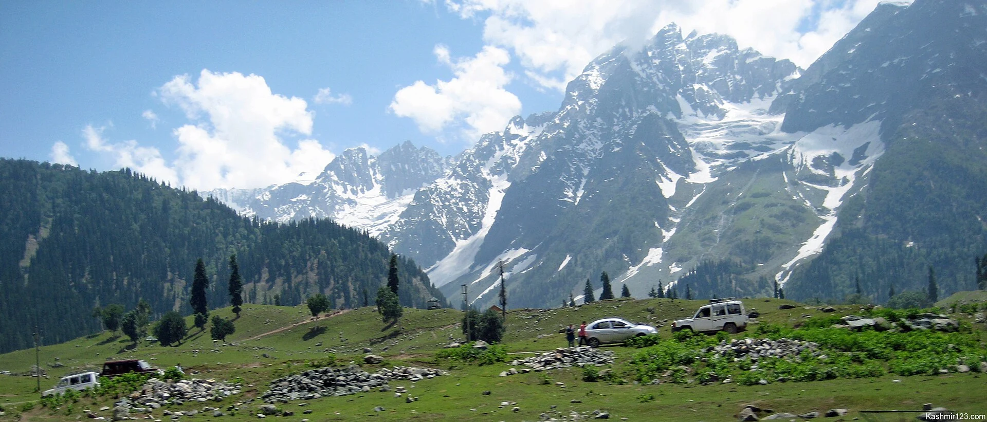
Sonamarg: Sind Valley Landscape and Mountain Connections
Sonamarg’s meadow landscape, Sind Valley setting, mountain connections and changing access infrastructure.