
Shri Mata Vaishno Devi University: Higher Education near Katra
Shri Mata Vaishno Devi University, commonly abbreviated SMVDU, is a university near Katra in Reasi district.
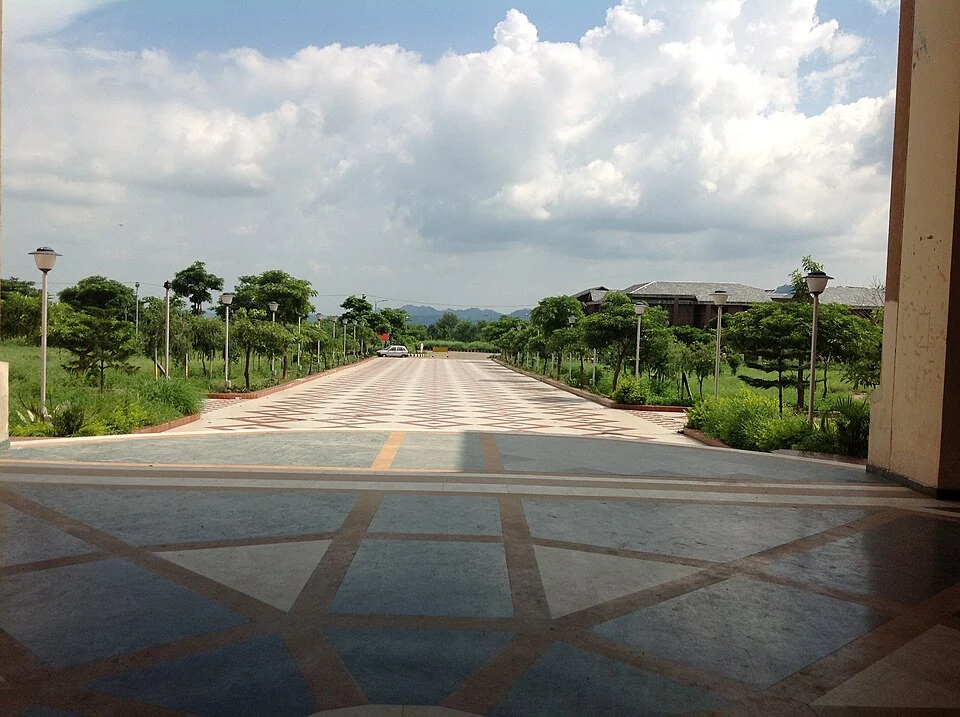
Shri Mata Vaishno Devi University, commonly abbreviated SMVDU, is a university near Katra in Reasi district. It is distinct from the Vaishno Devi shrine and the railway station serving Katra. The shared name creates an understandable regional association, but these places have different purposes, management records and locations.[1]
Foundation and academic beginning
The university's official history identifies its establishment under a 1999 state act and the beginning of its academic functioning in August 2004. It records the inauguration on 19 August 2004. These dates answer different questions: legal creation and the start of academic activity need not be the same event.[2]
The university provides education across technical and other fields, including engineering, architecture, sciences, management and humanities. Its residential-campus setting is part of its organisation. An institutional description of broad fields should not be mistaken for a list of places currently available in a particular admission round.[1]
A campus institution
A university brings together teaching, research, residence and administrative work. These functions can occupy different parts of a campus and follow different calendars. The experience of an undergraduate programme is therefore not interchangeable with that of a research student or a visitor attending a public event.
Official programme pages and notices provide the current academic detail. Rankings and accreditations are dated assessments and should identify their category and year when used. This introductory profile does not present an old ranking as the university's permanent position or recommend it on that basis.
Compare University of Jammu and NIT Srinagar for different regional higher-education institutions. Katra station supplies a transport context, while Vaishno Devi explains the separate sacred site. A regional connection is not a campus entry permission, and directions should use the correct destination for the intended visit.
Campus life includes academic and residential spaces whose functions should be identified separately when the university is documented or visited.
Photograph and map record
Photograph: Abhinavmw via Wikimedia Commons. Licence: CC BY-SA 3.0. Recorded capture date: 2013-08-03 15:07:14. Resized and converted to WebP; scene content unchanged. This is a dated view, not confirmation of the site’s present appearance.

Map marker: 32.94134, 74.95356. Representative source-record location, not a surveyed boundary or verified visitor entrance. Confirm actual access and accessibility locally. View location on OpenStreetMap · View Google Maps · Google directions · OpenStreetMap directions.
Research checked: 14 October 2026. For a visit, confirm current access, transport and opening information with the relevant authorities. This encyclopedia profile provides geographical and historical context.
Sources & references
[1] Shri Mata Vaishno Devi University — secondary historical/geographical overview
https://en.wikipedia.org/wiki/Shri_Mata_Vaishno_Devi_University ↗
[2] SMVDU: foundation and academic beginning
https://smvdu.ac.in/facts-and-history/ ↗
[3] OpenStreetMap-based SMVDU campus location record
https://mapcarta.com/W304758845 ↗
Photograph and licence
https://commons.wikimedia.org/wiki/File:SMVDU_campus_photo_2.JPG ↗
Related reading
Anji Khad Bridge: Cable-stayed Railway Engineering in Reasi
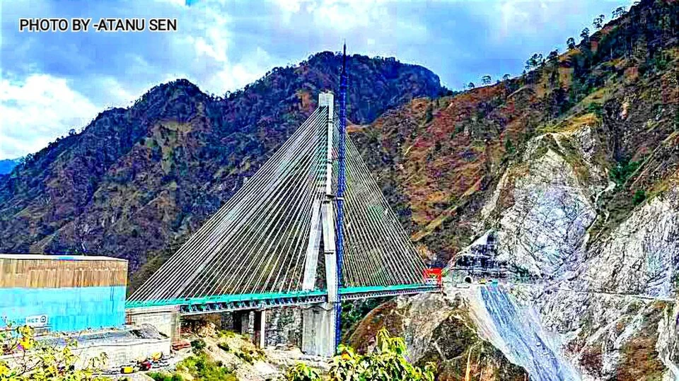
The Anji Khad Bridge is a railway crossing in Reasi district, on the USBRL route between Katra and the Kashmir Valley.
Chenab Rail Bridge: Engineering across the Reasi Gorge
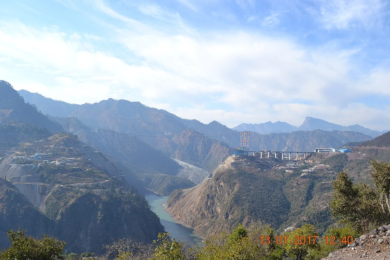
The Chenab Rail Bridge crosses a deep river gorge in Reasi district as part of the Udhampur–Srinagar–Baramulla Rail Link, commonly abbreviated USBRL.
Shiv Khori: Cave Shrine and Pilgrimage around Ransoo
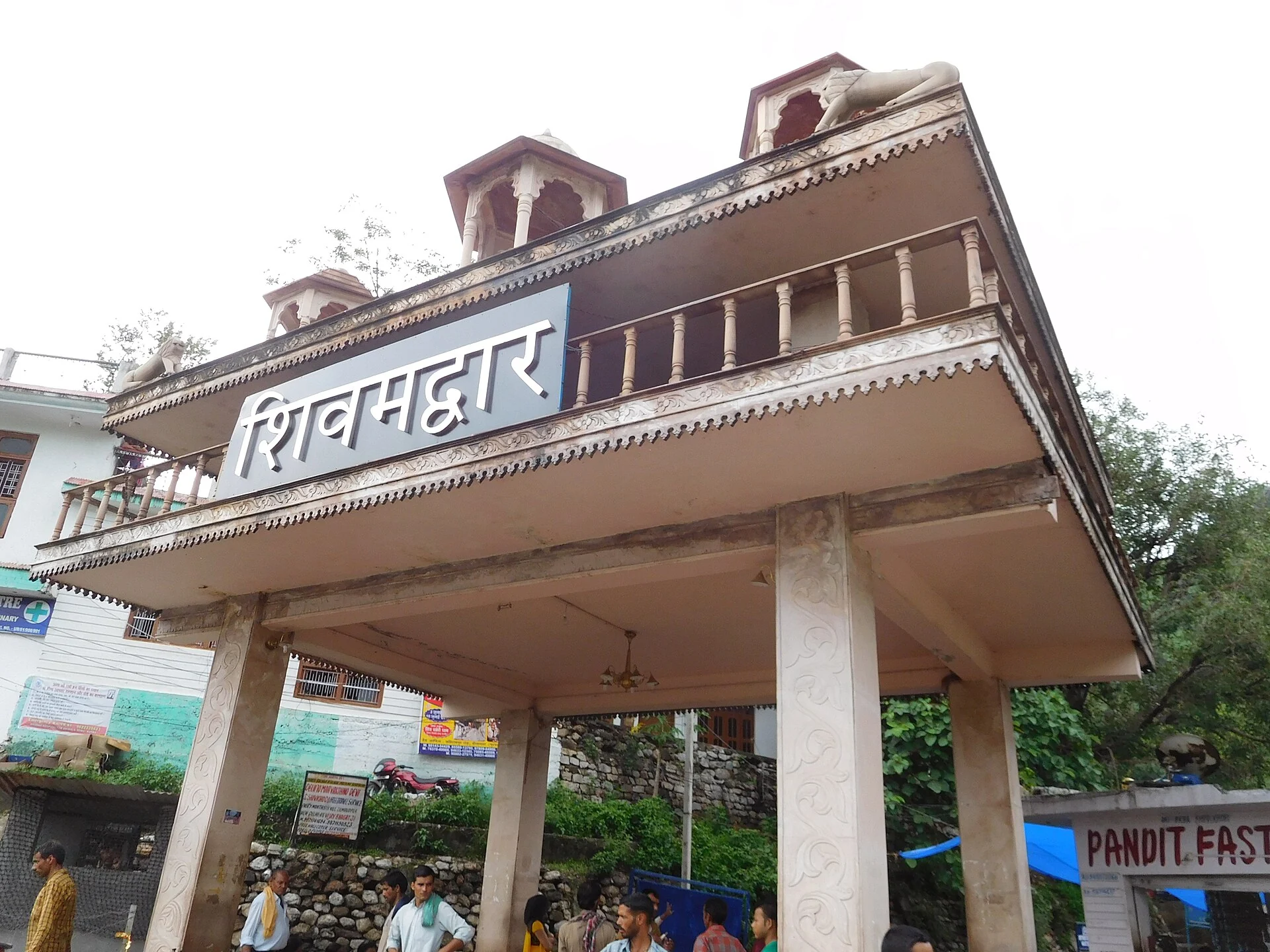
A cave shrine near Ransoo, its devotional interpretation and recurring pilgrimage gathering.