
NIT Srinagar: Engineering Education beside Hazratbal
The National Institute of Technology Srinagar is a public technical higher-education institution in the Hazratbal area of Srinagar.
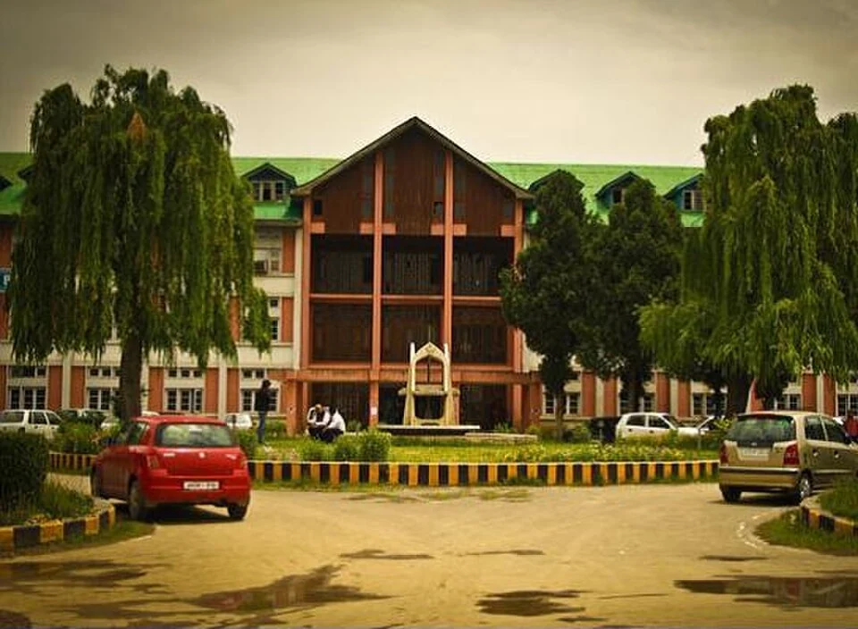
The National Institute of Technology Srinagar is a public technical higher-education institution in the Hazratbal area of Srinagar. It is commonly known as NIT Srinagar or NITSRI. Its lake-side urban setting places it near other institutions and religious sites, but it has a distinct campus and academic history.[1]
From REC to NIT
The institute's official account records its establishment in 1960 as a Regional Engineering College and its transition to National Institute of Technology status in 2003. The transition forms part of an institutional development rather than the creation of an entirely unrelated college. Different records may emphasise establishment, status change or later statutory recognition.[2]
Academic work includes engineering and supporting disciplines in sciences, humanities and social sciences. Laboratories, classrooms and research activity serve different kinds of learning. A department list identifies organisational units but does not by itself describe every degree programme or the number of places in a current admission process.[1]
Technical education in a city landscape
The campus is part of Srinagar's educational geography beside the Hazratbal area. Its relationship with surrounding roads, water and neighbouring institutions can be studied alongside its academic development. A view of the main block documents one building, not the full arrangement or present condition of the campus.
Applicants should use official admissions and programme information for eligibility and application dates. This encyclopedia profile explains the institution without embedding examination thresholds, fees or an undated list of current administrators. Those details change and belong in records that can be maintained independently.
Read with University of Kashmir for another Hazratbal-area institution and Hazratbal Shrine for a separate religious site. SMVDU offers a different technical-university comparison within the wider region. Shared proximity does not imply shared entry arrangements; the map point identifies the institute rather than an unrestricted route into laboratories or residential areas.
Photograph and map record
Photograph: Ramanujan Das Patra via Wikimedia Commons. Licence: CC BY-SA 3.0. Recorded capture date: 2012-12-12. Resized and converted to WebP; scene content unchanged. This is a dated view, not confirmation of the site’s present appearance.

Map marker: 34.125, 74.83972222. Representative source-record location, not a surveyed boundary or verified visitor entrance. Confirm actual access and accessibility locally. View location on OpenStreetMap · View Google Maps · Google directions · OpenStreetMap directions.
Research checked: 14 October 2026. For a visit, confirm current access, transport and opening information with the relevant authorities. This encyclopedia profile provides geographical and historical context.
Sources & references
[1] National Institute of Technology, Srinagar — secondary historical/geographical overview
https://en.wikipedia.org/wiki/National_Institute_of_Technology%2C_Srinagar ↗
[2] NIT Srinagar: institutional history
https://www.nitsri.ac.in/Pages/AboutUs.aspx ↗
Photograph and licence
https://commons.wikimedia.org/wiki/File:Main_block_NIT_Srinagar.jpg ↗
Related reading
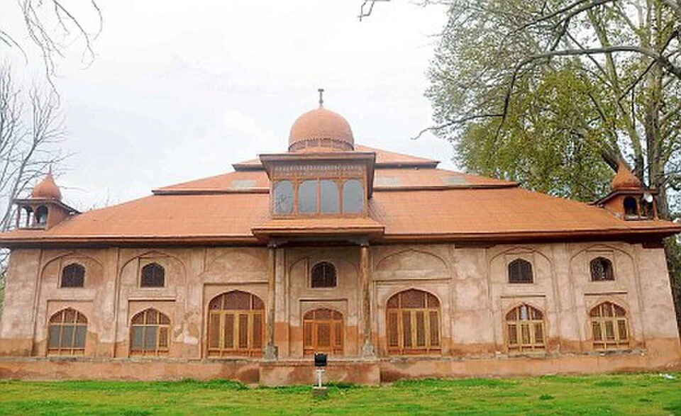
Aali Masjid: Open Ground and a Historic Srinagar Mosque
Aali Masjid, also written Ali Masjid, is a historic mosque in Srinagar's Eidgah area.
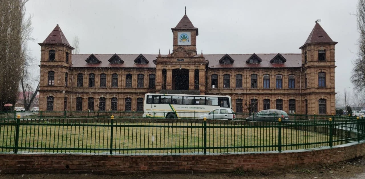
Amar Singh College: Education, Campus Heritage and Institutional Change
The growth of an educational institution from a technical institute, with campus conservation and academic resources.
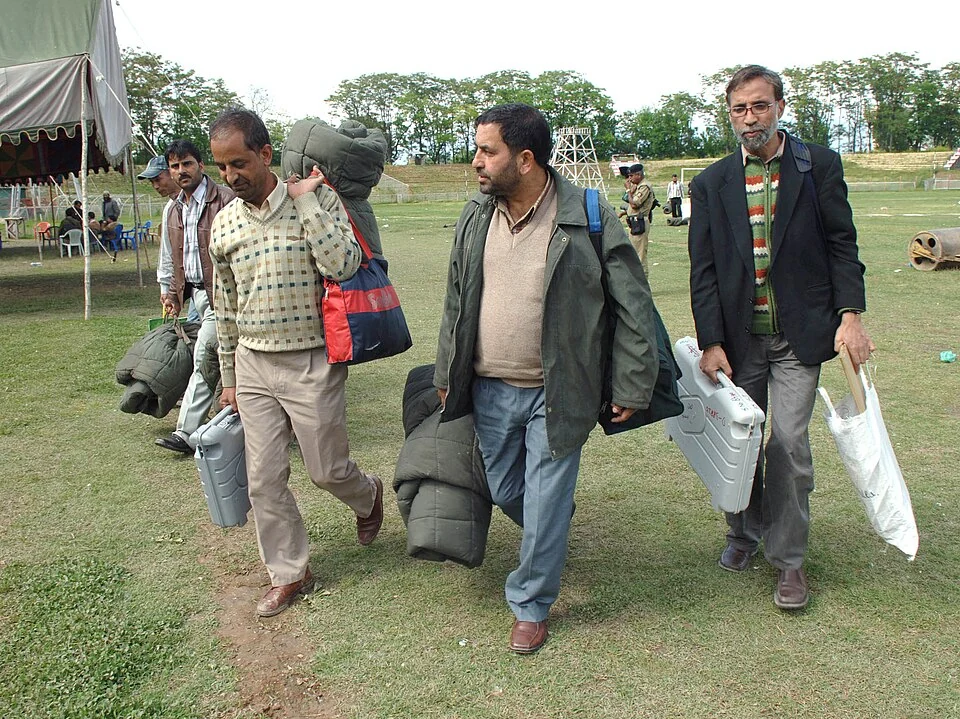
Bakshi Stadium: Football and a Public Sports Venue in Srinagar
Bakshi Stadium is a major sports venue in Srinagar, particularly associated with football.