
Ice Hockey in Ladakh: Winter Sport and Community Participation
Ice hockey in Ladakh connects winter recreation, competitive sport and community participation.
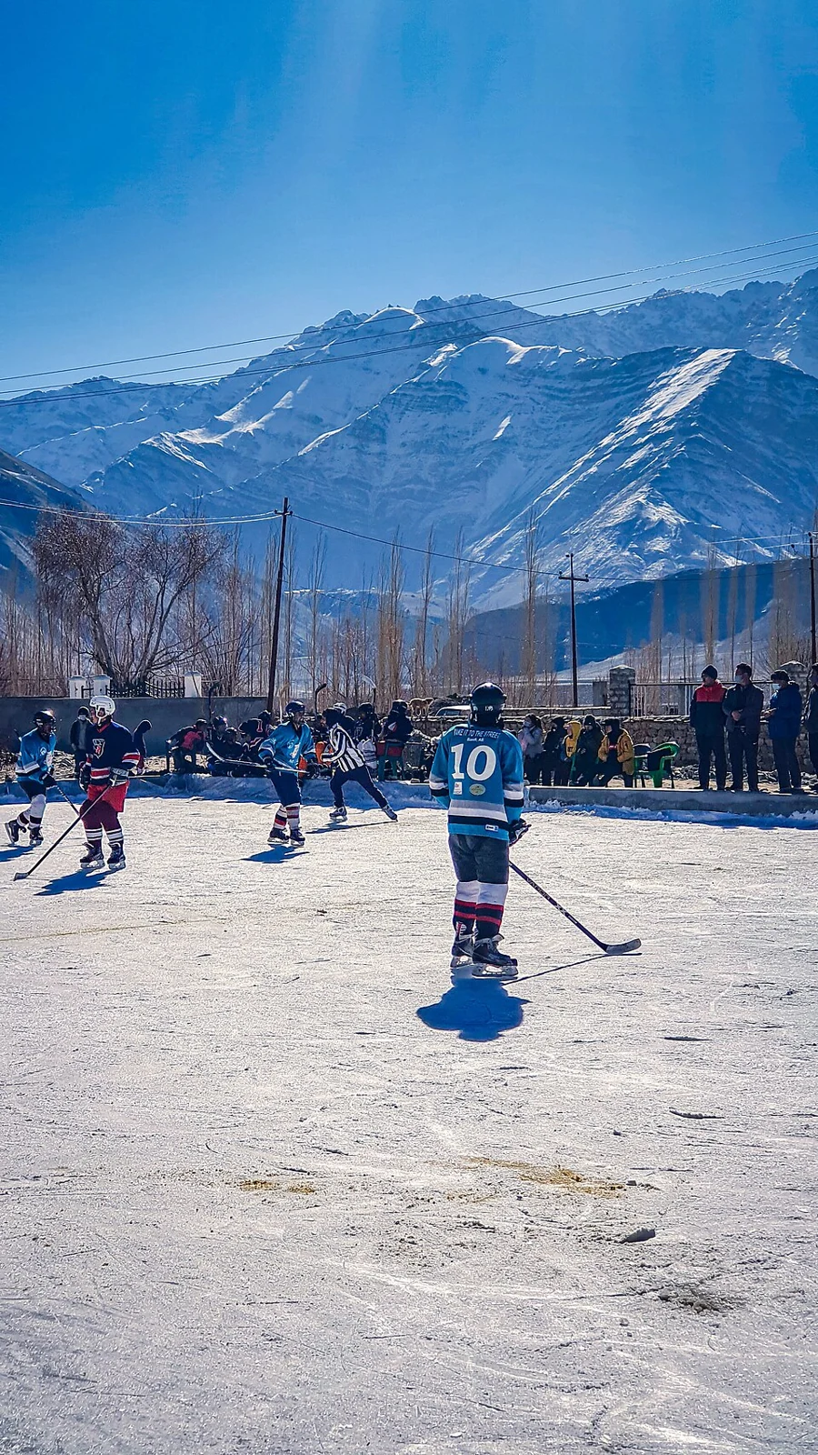
Ice hockey in Ladakh connects winter recreation, competitive sport and community participation. Teams use skates, sticks and a puck within an ice playing area, so the sport's facilities differ fundamentally from an ordinary grass ground. Natural winter ice and an artificially maintained rink are also different settings and should not be described as equivalent year-round resources.[1]
Community and competition
Official Ladakh sports accounts document local teams and participation in the Khelo India Winter Games. These records show organised competition alongside the sport's community setting. A particular tournament result belongs to a stated edition and category; it should not be turned into a permanent ranking of all regional players.[2]
The Ladakh administration recorded an artificial ice rink inauguration at NDS Stadium in August 2026. This is a dated infrastructure development, distinct from earlier winter events at the stadium. An older photograph of natural-ice play cannot establish the present facility layout or operating schedule.[3]
Ice, equipment and a playing season
Sporting activity depends on more than the presence of a frozen surface. Ice condition, markings, equipment and supervised arrangements help distinguish an organised rink from a pond that happens to freeze. A picturesque winter scene is not an assessment that an ice surface can support play.
The growth of a sport can also be studied through coaching, team formation and access to equipment. Match reports reveal one kind of activity, while participation records and local accounts can explain who is able to play. Neither a single exhibition match nor one photograph describes the whole sporting community.
Compare Bakshi Stadium and Sher-i-Kashmir Stadium for different sports venues. Leh Palace provides a separate city landmark. The representative Leh marker attached to this regional entry is not a certificate of ice safety, an open-rink notice or a promise that equipment and coaching are available without prior arrangements.
Photograph and map record
Photograph: Stanzin1945 via Wikimedia Commons. Licence: CC BY-SA 3.0. Recorded capture date: 9 January 2021 (according to Exif data). Resized and converted to WebP; scene content unchanged. This is a dated view, not confirmation of the site’s present appearance.

Map marker: 34.16, 77.58. Editorial regional-context marker for Leh. This subject is not a single physical destination: the point is not a birthplace, workshop, harvest site, species range, guaranteed wildlife locality or boundary of language use. View location on OpenStreetMap · View Google Maps · Google directions · OpenStreetMap directions.
Research checked: 14 October 2026. For a visit, confirm current access, transport and opening information with the relevant authorities. This encyclopedia profile provides geographical and historical context.
Sources & references
[1] Ice hockey — secondary historical/geographical overview
https://en.wikipedia.org/wiki/Ice_hockey ↗
[2] Ladakh administration: regional ice hockey teams, 2024
https://ladakh.gov.in/ladakh-ice-hockey-teams-bask-in-their-new-found-identities/ ↗
[3] Ladakh administration: artificial rink inauguration, August 2026
https://ladakh.gov.in/l-g-vk-saxena-inaugurates-first-24x7-artificial-ice-hockey-rink-in-leh/ ↗
Photograph and licence
https://commons.wikimedia.org/wiki/File:Local_Ice_Hockey_tournament_in_Leh,_Ladakh.jpg ↗
Related reading
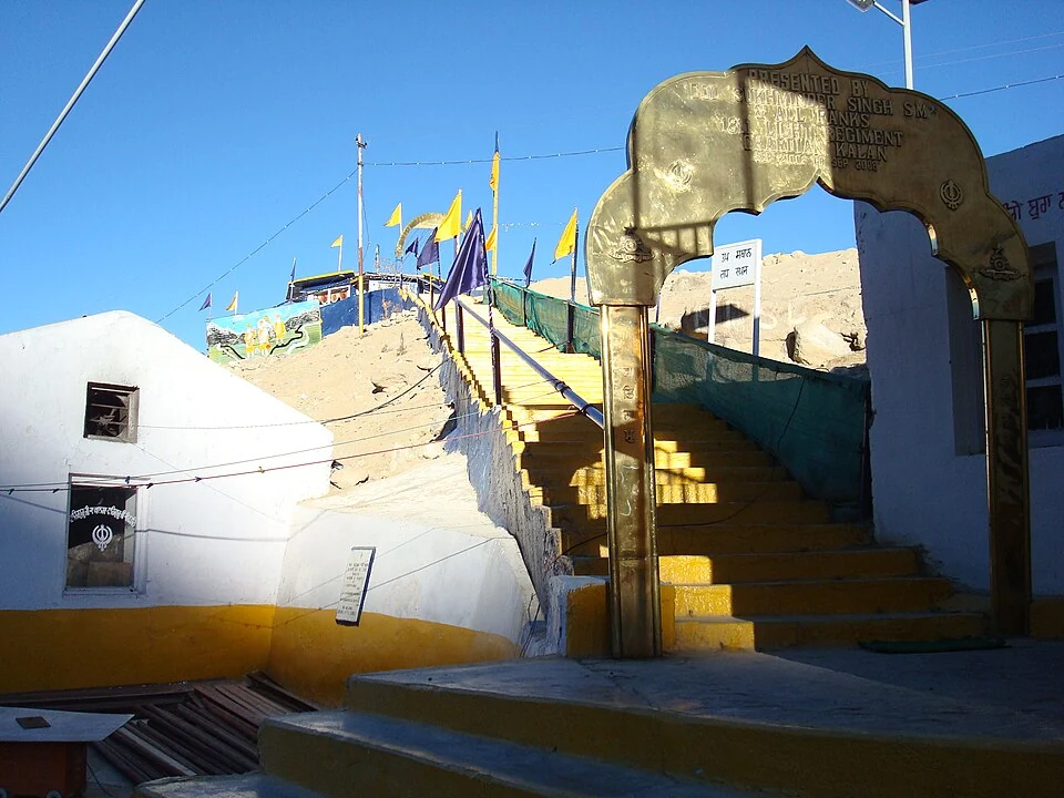
Gurdwara Pathar Sahib: Sikh Tradition in the Indus Valley
Gurdwara Pathar Sahib is a Sikh place of worship in the Indus-valley corridor west of Leh.
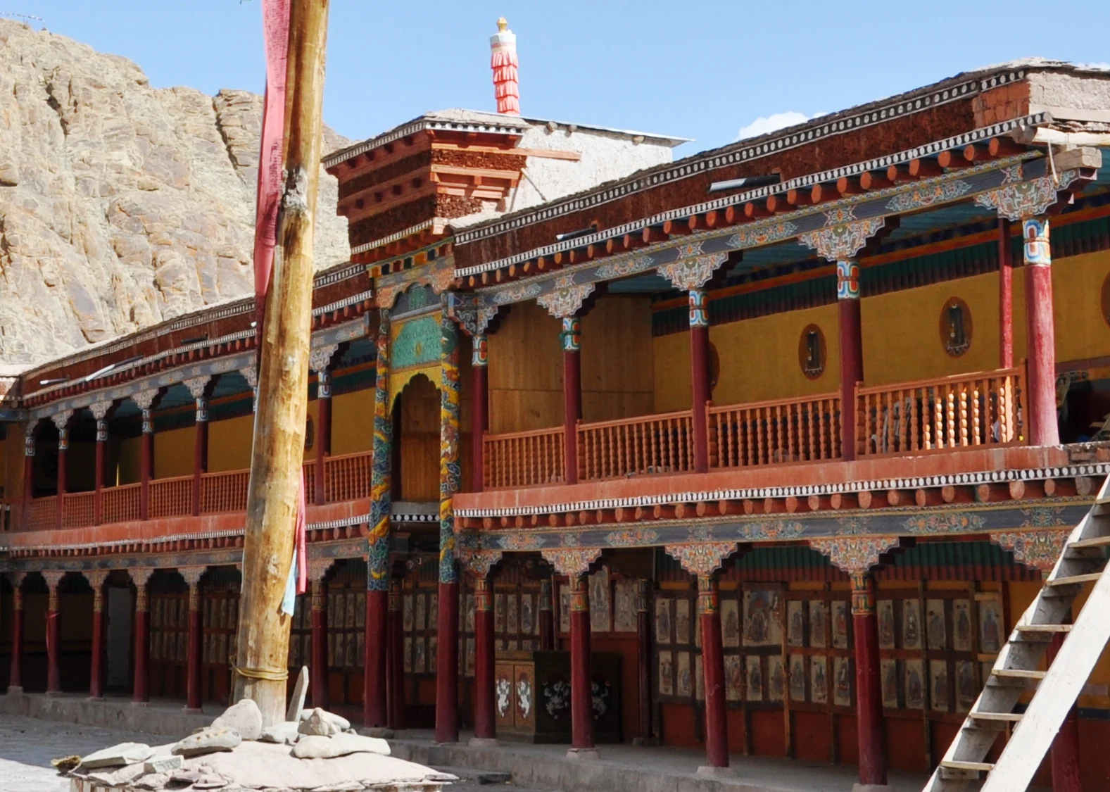
Hemis Monastery: Drukpa Heritage, Courtyard and Festival Traditions
Hemis as a living Buddhist institution, with royal associations, sacred art, courtyard use and the religious meanings of its annual festival.
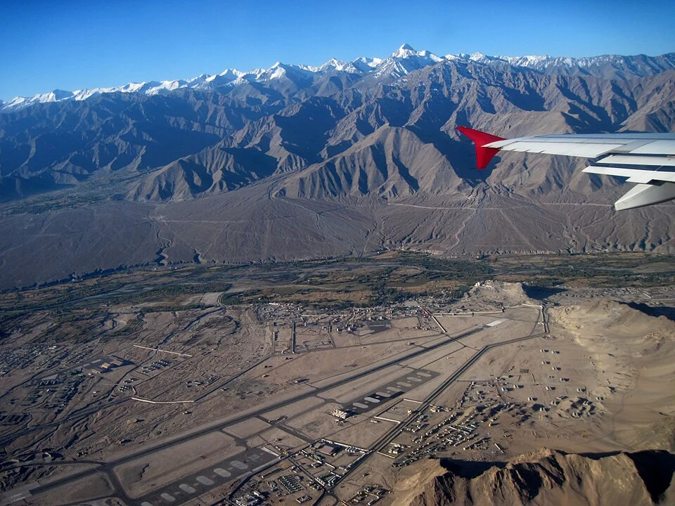
Kushok Bakula Rimpochee Airport: Aviation in the Leh Valley
Kushok Bakula Rimpochee Airport, code IXL, is the civil aviation gateway serving Leh in Ladakh.