
Burn Hall School: Education and Institutional History in Srinagar
Burn Hall School is a Srinagar school with a history rooted in missionary education.
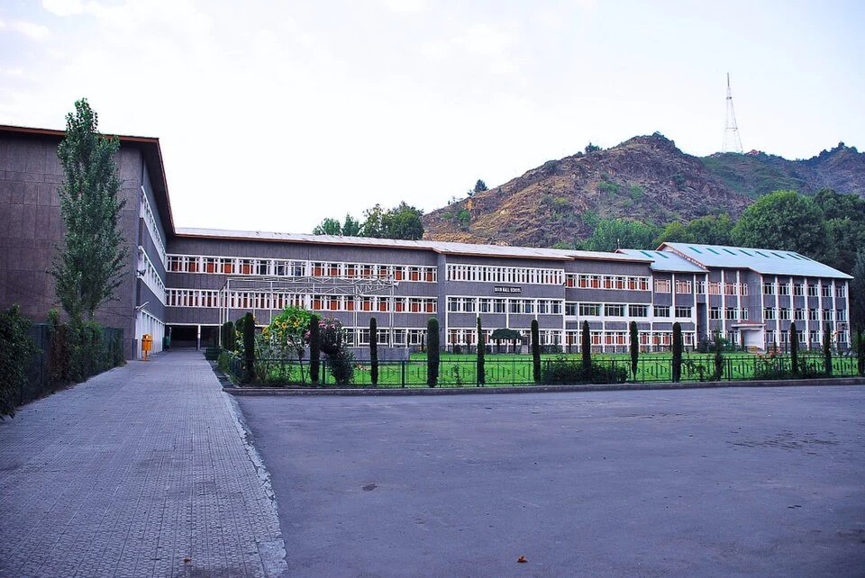
Burn Hall School is a Srinagar school with a history rooted in missionary education. Its institutional name links more than one historical phase, so the early school and the later Srinagar campus should not be treated as one uninterrupted building history. The school's own account provides the clearest starting point for these distinctions.[1]
Early beginnings and a later foundation
The official history describes an early institution established in Srinagar in 1942, disruption around 1947, and the establishment of a new Srinagar school in 1956. It records classes beginning on 17 April 1956 at the property known as The Willows. These dates describe separate stages rather than competing answers to one simple founding-date question.[2]
The same institutional account records a major fire in 1976 and the inauguration of a rebuilt complex in 1978. The current buildings therefore need to be understood through rebuilding as well as earlier foundations. A dated image of the campus does not imply that every visible structure existed in the first school period.[2]
Education and campus life
The school's published information distinguishes primary, secondary and senior-secondary education and identifies learning and activity facilities. These are different levels within one institution; their curricula and admission arrangements should be checked through the relevant current notice rather than inferred from the school's historical reputation.[3]
A school is more than its facade. Records of teaching, clubs, laboratories and pupils' work can illuminate its educational role, while architecture explains how space is organised. Neither perspective alone gives a complete account. A historical profile is useful when it identifies the period and type of evidence under discussion.
Read with Tyndale Biscoe School for another institutional history and Sri Pratap College for a higher-education comparison. The separate Holy Family Church entry provides another strand of Srinagar's Christian institutional landscape. The relationships are historical context, not a claim that the institutions share identical management or visitor access.
Photograph and map record
Photograph: Basharat Alam Shah from Chicago, USA via Wikimedia Commons. Licence: CC BY 2.0. Recorded capture date: 2008-08-06 07:49. Resized and converted to WebP; scene content unchanged. This is a dated view, not confirmation of the site’s present appearance.

Map marker: 34.074195, 74.832928. Representative source-record location, not a surveyed boundary or verified visitor entrance. Confirm actual access and accessibility locally. View location on OpenStreetMap · View Google Maps · Google directions · OpenStreetMap directions.
Research checked: 14 October 2026. For a visit, confirm current access, transport and opening information with the relevant authorities. This encyclopedia profile provides geographical and historical context.
Sources & references
[1] Burn Hall School — secondary historical/geographical overview
https://en.wikipedia.org/wiki/Burn_Hall_School ↗
[2] Burn Hall School: institutional history
https://burnhallschool.ac.in/about-us/our-history/ ↗
[3] Burn Hall School: official school profile
https://burnhallschool.ac.in/about-us/about-school/ ↗
Photograph and licence
https://commons.wikimedia.org/wiki/File:Burn_Hall_High_School_Jammu_and_Kashmir_India.jpg ↗
Related reading
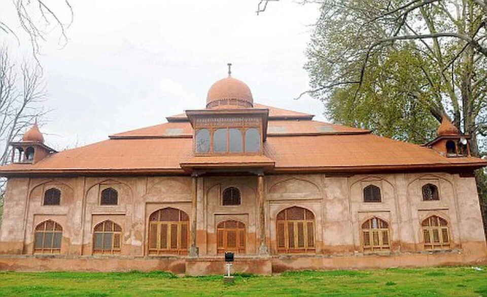
Aali Masjid: Open Ground and a Historic Srinagar Mosque
Aali Masjid, also written Ali Masjid, is a historic mosque in Srinagar's Eidgah area.
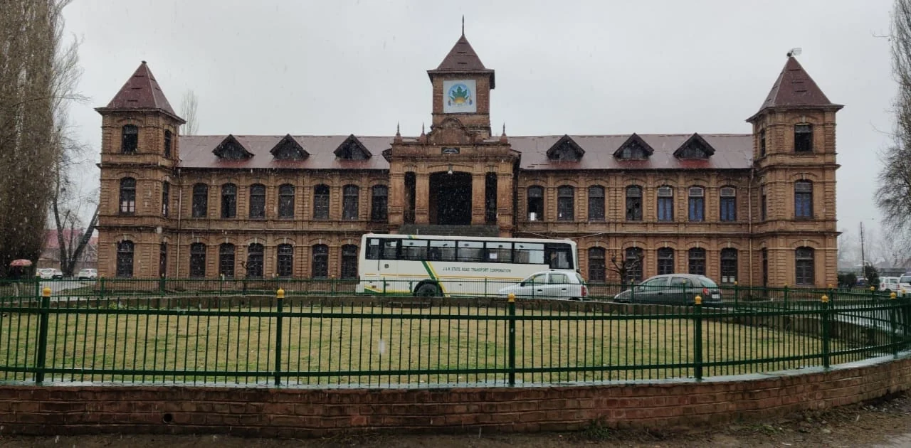
Amar Singh College: Education, Campus Heritage and Institutional Change
The growth of an educational institution from a technical institute, with campus conservation and academic resources.
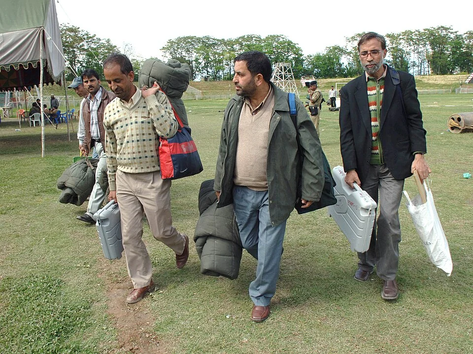
Bakshi Stadium: Football and a Public Sports Venue in Srinagar
Bakshi Stadium is a major sports venue in Srinagar, particularly associated with football.