
Sanasar: Two Villages, Meadow and a Mountain Lake
Sana and Sar, their lake-and-meadow landscape and the need to distinguish older administrative labels.
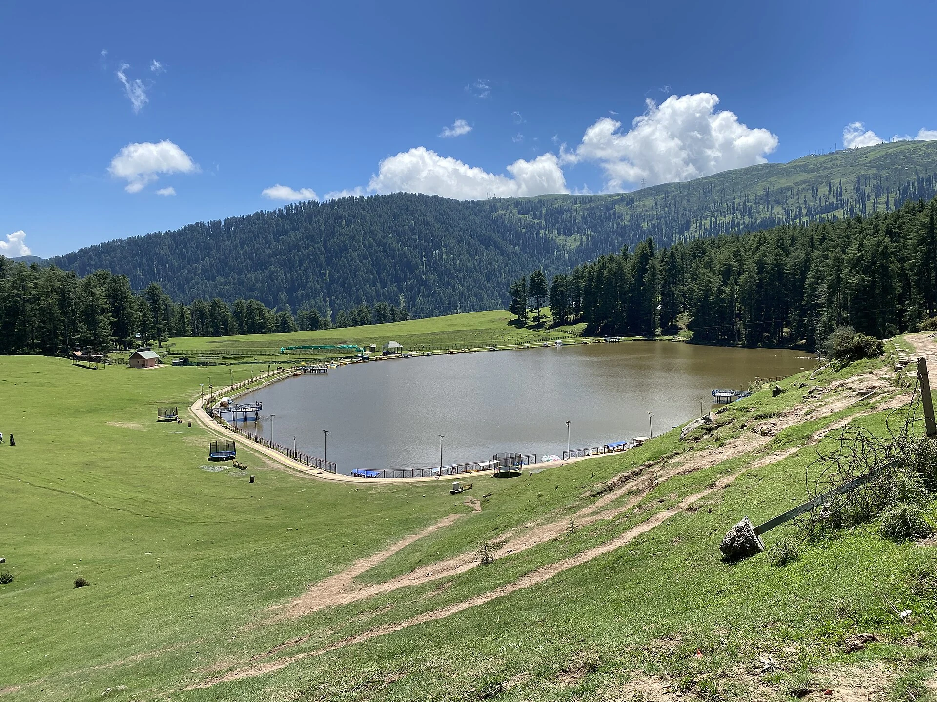
Sanasar is the name associated with the upland villages of Sana and Sar and their surrounding meadow landscape in Ramban district. Official descriptions relate the name to small local lakes and place the area west of Patnitop. Its identity combines inhabited villages, open ground, wooded slopes and a lake that is prominent in visitor photographs. These features form a landscape rather than a single attraction with one entrance.[1]
Villages, meadow and lake
The Ramban administration’s destination profile identifies Sana and Sar as the two places behind the combined name. The lake and open grassy ground are part of their wider setting. A village profile is therefore more complete when it recognises the settled landscape rather than treat Sanasar as only a boating lake or adventure venue.[1]
The secondary account describes the area as a destination for outdoor recreation, including paragliding. Such activities are associated with suitable terrain and organised services, but their mention is not a guarantee of current operation, suitability or permission. The enduring geographical subject can be described separately from a particular operator’s seasonal activity list.[2]
Nearby ridges and sacred places
The district profile identifies Shanta Ridge, Shanta Gala and the Shank Pal temple in the wider mountain setting. These are separate points beyond the lake and village ground. A ridge, a pass and a temple have different purposes and cannot be understood simply as nearby names on one leisure map. The temple’s traditional associations also belong to its own religious history.[1]
A mountain destination’s name often expands in tourism writing to cover places reached by different routes and at different heights. This makes an explicit distinction useful: the coordinate supplied here is a representative Sanasar locality marker, not an approved trailhead for every named ridge or a surveyed route to the temple.
Administrative labels in older descriptions
The current article is filed under Ramban, whose district administration maintains the Sanasar destination page. Older wording on that page still refers to the Patnitop approach through the earlier Udhampur context. Ramban’s district history records its formation from the former Doda district. Such changes explain why place descriptions and approach labels need to be read with their administrative dates in mind.[3]
The secondary reference uses the wider Jammu regional description, which should not be confused with assignment to Jammu district. Region, present district and route of approach are three different geographical labels. Retaining them separately gives more reliable search and map results than treating all references to Jammu as one city address.[2]
The photographed landscape
The supplied image shows the lake, grassy margins and wooded slopes. Its water edge and paths record a particular view rather than the complete extent of Sana and Sar. A lake photograph does not measure depth, establish bathing suitability or demonstrate that every visitor facility is open. It is valuable as a documentary view when its source and capture date are retained.
Compare Bhaderwah and Lolab Valley for other inhabited mountain landscapes. Mansar Lake introduces a different water setting in the Jammu region, while Pir Ki Gali distinguishes a transport pass from a village-and-meadow destination.
Photograph and map record
Photograph: Rupali Kushwaha via Wikimedia Commons. Licence: CC BY 4.0. Recorded capture date: 2022-08-10 12:47:36. Resized and converted to WebP; scene content unchanged. This is a dated view, not confirmation of the site’s present appearance.

Map marker: 33.125, 75.26. Representative coordinate from the secondary geographical reference; not a surveyed boundary or a verified accessible entrance. View location on OpenStreetMap · View Google Maps · Google directions · OpenStreetMap directions.
Research checked: 14 October 2026. For a visit, confirm current access, transport and opening information with the relevant authorities. This encyclopedia profile provides geographical and historical context.
Sources & references
[1] Primary place or institutional account
https://ramban.gov.in/tourist-place/sanasar/ ↗
[2] Secondary historical and geographical reference
https://en.wikipedia.org/wiki/Sanasar ↗
[3] District Ramban — Administrative formation
https://ramban.gov.in/about-district/ ↗
Photograph and licence
https://commons.wikimedia.org/wiki/File:Sanasar_Lake_Jammu.jpg ↗
Related reading
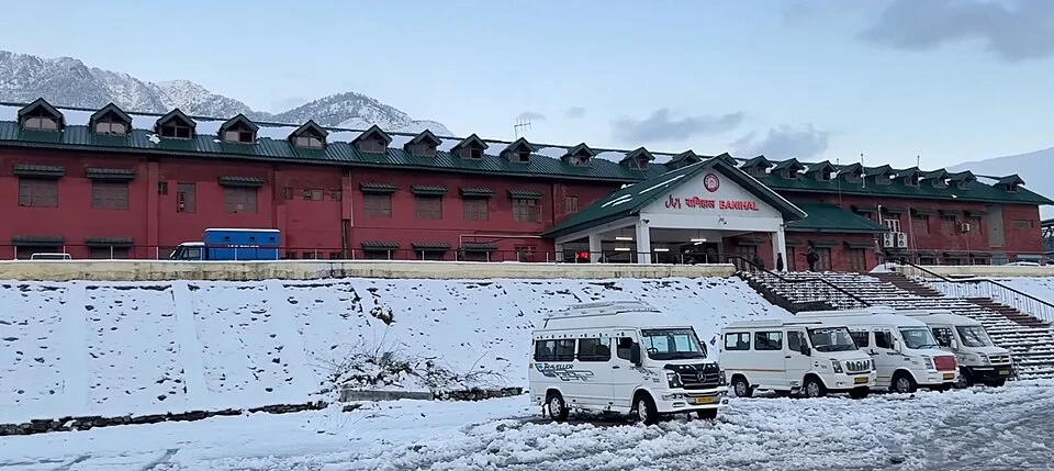
Banihal Railway Station: The Pir Panjal Rail Connection
Banihal railway station lies in Ramban district on the rail route connecting the Jammu hills with the Kashmir Valley.
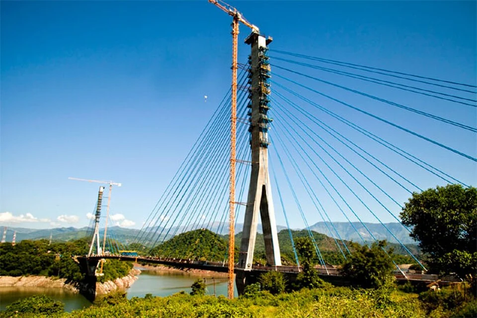
Basohli: Ravi-side Town and a Centre of Pahari Painting
Basohli is a town in Kathua district, in the Jammu region, overlooking the Ravi river landscape.
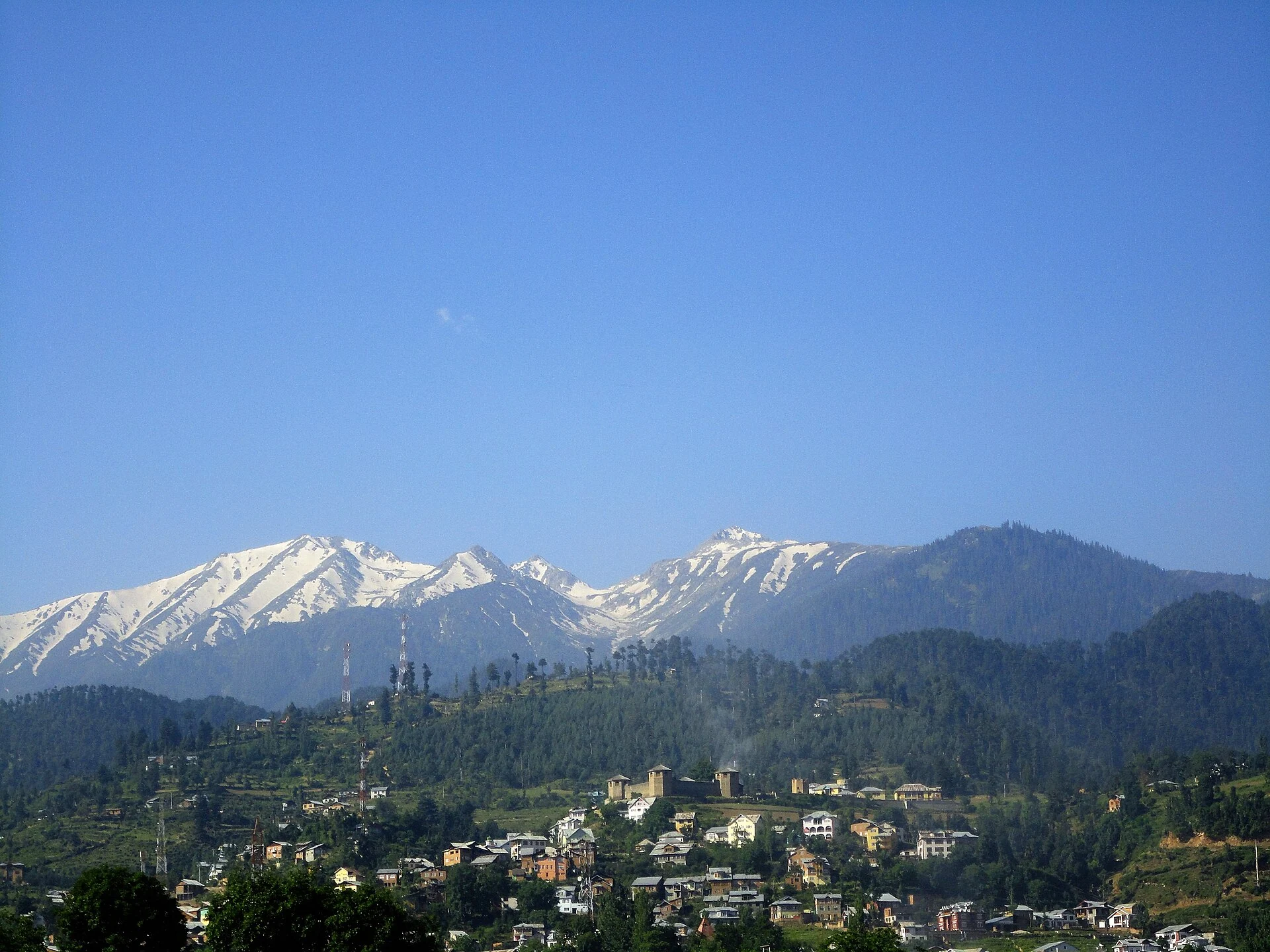
Bhaderwah: Town, Valley and the Bhadarwahi Cultural Landscape
The mountain town and valley, local language identity and relationship with surrounding destinations.