
Bijbehara: Town, River and a Historic Kashmir Landscape
Bijbehara, known as Vejibror in Kashmiri, is a town in Anantnag district beside the Jhelum. It is associated with chinar-lined garden settings and the southern Kashmir road corridor. The town, its administrative subdivision and the wider district have different extents despite appearing together in many short descriptions.
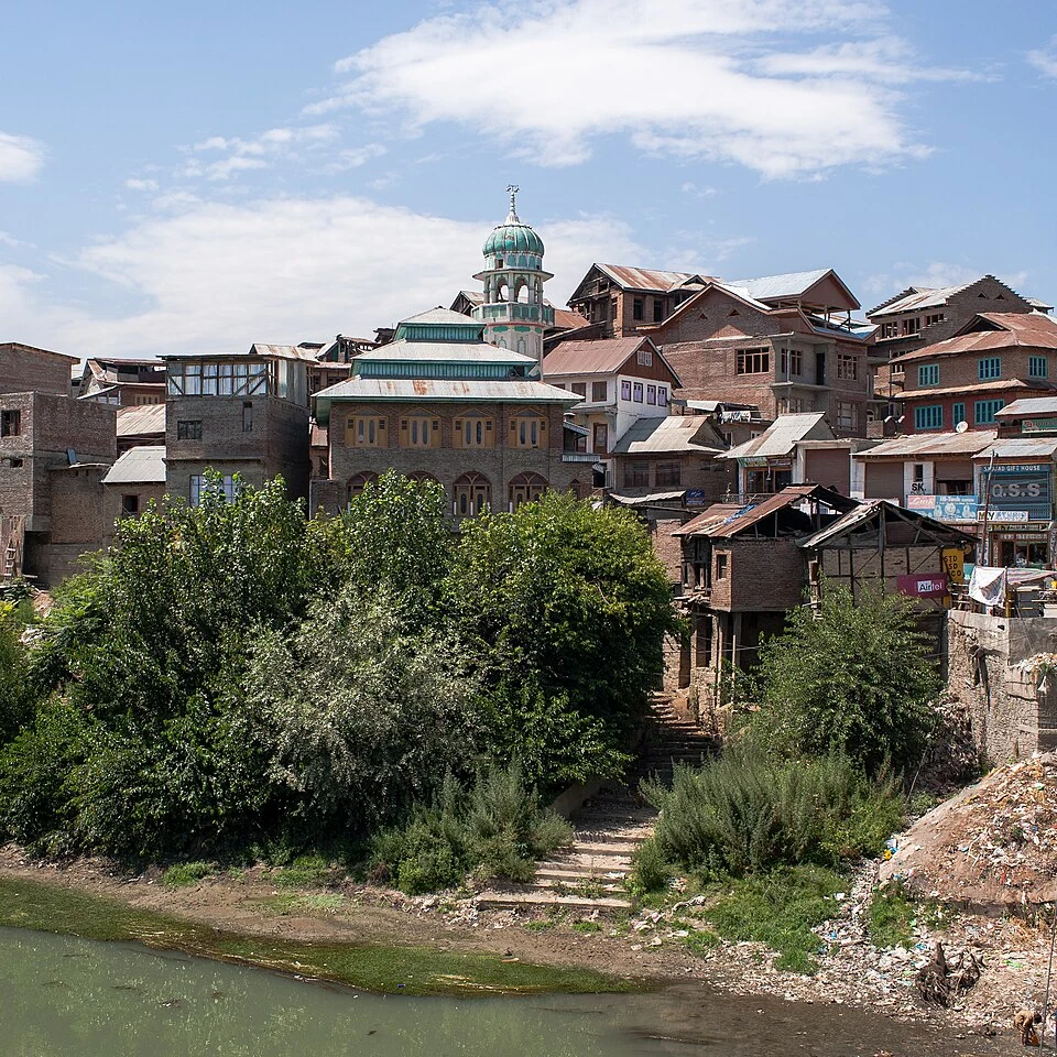
Bijbehara, known as Vejibror in Kashmiri, is a town in Anantnag district beside the Jhelum. It is associated with chinar-lined garden settings and the southern Kashmir road corridor. The town, its administrative subdivision and the wider district have different extents despite appearing together in many short descriptions.[1]
River and gardens
Reference accounts identify Bijbehara with the Jhelum and describe chinar gardens including the Dara Shikoh setting. Those associations help explain the town's visual character. A large tree can be culturally important without an unsupported claim that it is the oldest specimen in the region.[1]
The Anantnag administration lists Bijbehara's municipal committee as a distinct local institution. Census records also identify the municipal town separately from the larger subdistrict. Those records provide an administrative scale against which a town profile can be read.[2]
Urban place and local memory
Gardens, streets and riverbanks are different kinds of public space. Their histories may intersect while their present uses vary. A photograph of one garden should not be captioned as a complete view of the town or used to identify an unrelated bridge.
The chinar's role in local imagery connects Bijbehara with a wider Kashmir cultural landscape. Tree species, planted setting and an individual tree's documented age are separate facts. Naming the species is easier than proving the date at which a particular tree was planted.
The town's place on a transport corridor also connects it with other southern settlements. Current service locations and journey times require dated records; an old road description supplies geographical context without guaranteeing a present timetable.
Read Anantnag Town, Chinar and Jhelum River for connected urban, botanical and river subjects. Awantipora Temples introduces a separate historic setting along the valley corridor. The marker provides Bijbehara-town orientation rather than a municipal boundary or surveyed entrance to a named garden. Each institution or garden needs its own point for precise visitor directions.
Image and map record
Image: KennyOMG via Wikimedia Commons. Licence: CC BY-SA 4.0. Recorded capture date: 2009-08-23. Resized and converted to WebP; image content unchanged. This is a dated view, not confirmation of the site’s present appearance.

Map marker: 33.8, 75.1. Source-recorded location for orientation; not a surveyed boundary, verified public entrance, current access guarantee or authorised stopping point. View location on OpenStreetMap · View Google Maps · Google directions · OpenStreetMap directions.
Research checked: 14 October 2026. For a visit, confirm current access, transport and opening information with the relevant authorities. This encyclopedia profile provides geographical and historical context.
Sources & references
[1] Reference overview: Bijbehara
https://en.wikipedia.org/wiki/Bijbehara ↗
[2] Anantnag administration: Bijbehara municipal committee
https://anantnag.nic.in/public-utility/bijbehara-municipal-committee/ ↗
Image and licence
Related reading
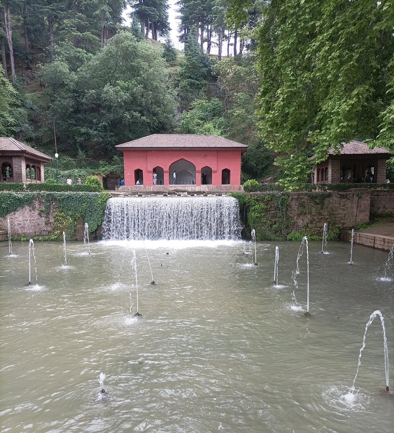
Achabal Garden: Spring-fed Terraces and Mughal Design
Achabal Garden is a Mughal garden in Anantnag district, arranged around a spring at the foot of a hill.
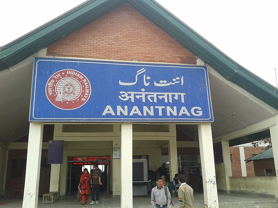
Anantnag Railway Station: Rail Access in Southern Kashmir
Anantnag railway station is a rail access point for southern Kashmir. It serves the Anantnag area within the Kashmir Valley corridor and is identified
Anantnag: Town, Springs and Southern Kashmir
Anantnag is a major town and district headquarters in southern Kashmir. The name also refers to the surrounding district, so town history and district