
Himalayan Brown Bear: Mountain Ecology in Kashmir and Ladakh
The Himalayan brown bear is a mountain-associated form of brown bear found within the wider Himalayan region, including parts of Kashmir and Ladakh.
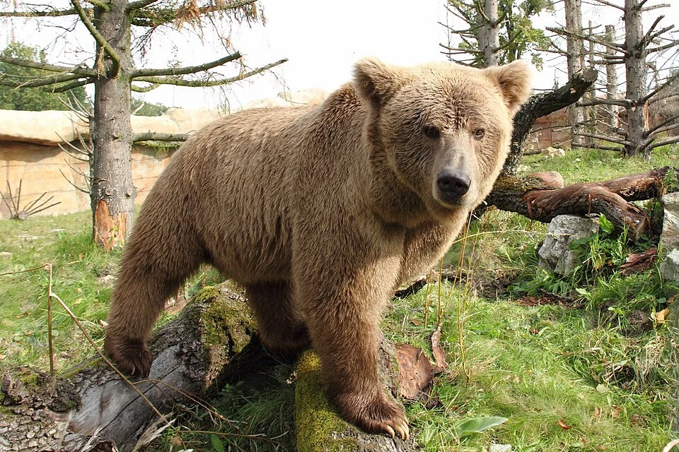
The Himalayan brown bear is a mountain-associated form of brown bear found within the wider Himalayan region, including parts of Kashmir and Ladakh. It should be distinguished from the Himalayan black bear, a different animal with a different identification and habitat account. Pale or brownish colouring alone is not sufficient evidence for a confident identification.[1]
A seasonal mountain life
Brown bears are omnivorous, using a range of foods rather than relying exclusively on meat. Feeding opportunities and seasonal conditions influence activity in mountain landscapes. The large body and the visible shape of a bear in a photograph describe an individual, while its behaviour and ecological role require a broader set of observations.[1]
The Wildlife Institute of India lists Himalayan brown bear status surveys within its research and conservation programmes. Field evidence is important because distribution, habitat use and interactions with people cannot be established by repeating a general range map alone.[2]
Records, coexistence and interpretation
A wildlife record is most useful when it has a date, a location and an identification basis. A distant sighting, camera-trap image and close photograph are different forms of evidence. Their uncertainty should remain visible instead of being erased by a confident caption.
Descriptions of encounters also need care. Food waste, livestock practices and the use of mountain ground can affect the relationship between people and bears. A single dramatic incident cannot explain the whole regional situation. Practical responses belong with the responsible wildlife authorities and should not be inferred from an introductory species profile.
A captive photograph may illustrate body features but does not document a wild animal at the article's map point. The accompanying image is labelled according to its source setting. Read Drass for a mountain-settlement context, Hangul for a different large mammal, and Snow Leopard for another high-altitude conservation subject. The marker is regional context rather than a viewing site or an invitation to approach wildlife.
Photograph and map record
Photograph: Zoo Hluboka via Wikimedia Commons. Licence: CC BY-SA 4.0. Recorded capture date: 2014-10-08 14:04:02. Resized and converted to WebP; scene content unchanged. This is a dated view, not confirmation of the site’s present appearance.
.jpg)
Map marker: 34.43054, 75.751424. Editorial regional-context marker for Drass. This subject is not a single physical destination: the point is not a birthplace, workshop, harvest site, species range, guaranteed wildlife locality or boundary of language use. View location on OpenStreetMap · View Google Maps · Google directions · OpenStreetMap directions.
Research checked: 14 October 2026. For a visit, confirm current access, transport and opening information with the relevant authorities. This encyclopedia profile provides geographical and historical context.
Sources & references
[1] Himalayan brown bear — secondary historical/geographical overview
https://en.wikipedia.org/wiki/Himalayan_brown_bear ↗
[2] Wildlife Institute of India: conservation research programmes
https://v1.wii.gov.in/endangeredspeciesmanagement ↗
Photograph and licence
https://commons.wikimedia.org/wiki/File:Medv%C4%9Bd_plav%C3%BD_(Ursus_arctos_isabellinus).jpg ↗
Related reading
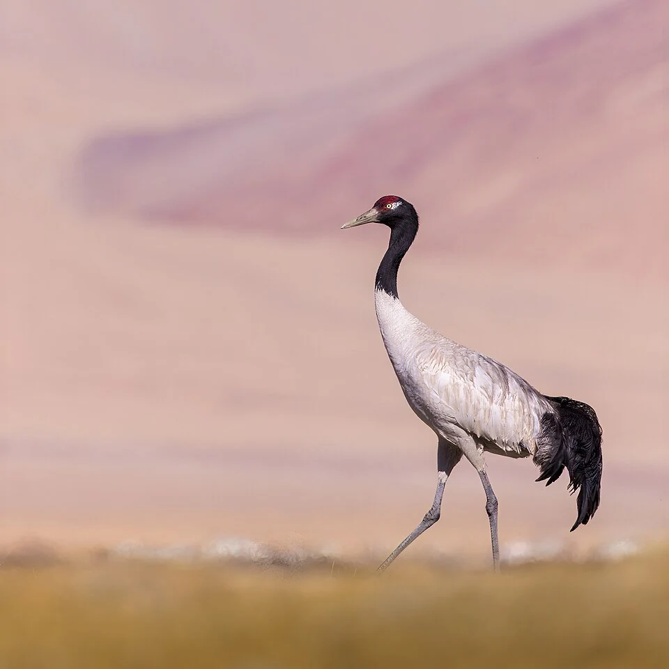
Black-necked Crane: Wetland Breeding Habitat in Ladakh
The black-necked crane is an important bird of Ladakh's high-altitude wetland landscapes.
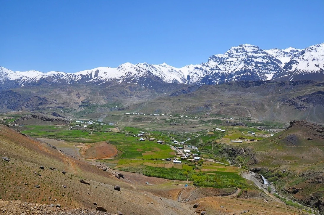
Drass: Mountain Settlement on the Srinagar–Ladakh Corridor
Drass, also written Dras, is a mountain settlement on the road corridor between the Kashmir Valley and Kargil.
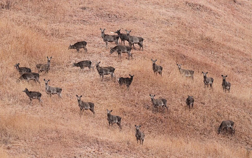
Hangul: Kashmir’s Red Deer and Its Conservation Setting
Hangul is the Kashmir red deer, a distinctive deer population closely associated with the Kashmir Valley and particularly Dachigam.