
Drass: Mountain Settlement on the Srinagar–Ladakh Corridor
Drass, also written Dras, is a mountain settlement on the road corridor between the Kashmir Valley and Kargil.
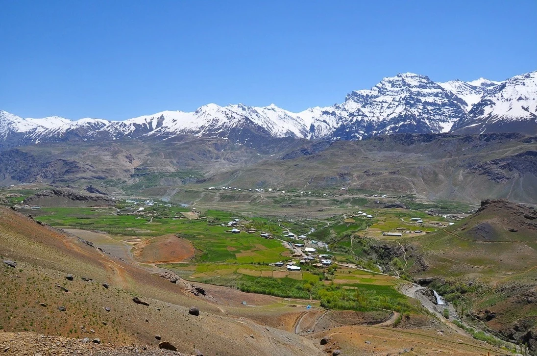
Drass, also written Dras, is a mountain settlement on the road corridor between the Kashmir Valley and Kargil. It lies beyond the Zoji La approach in a high valley where the settlement and the surrounding mountain ranges form a recognisable landscape. The name may refer to the town, valley or administrative district, so an account should specify which is intended.[1]
Drass district was notified in April 2026, with its headquarters identified as Drass-Ranbirpura.[2] The Kargil district attribution found in many older descriptions belongs to the earlier administrative framework.
Life along a mountain corridor
The former Kargil district tourism description presents Drass as an important halting place for travellers to Kargil and Leh. This is a statement about its place within a route network. It does not guarantee that a road, accommodation unit or visitor facility will be available in every season. The local landscape has to be understood alongside the conditions of the mountain approaches.[3]
Drass is frequently introduced through its severe winter cold. That reputation is meaningful, but sweeping rankings such as “the world's second-coldest inhabited place” depend on the temperature measure, observation period and comparison set. This entry avoids turning an often repeated tourism claim into an unqualified scientific result. Climate records are more informative when their location and dates are stated.
Settlement, memory and surrounding mountains
The Drass area is also associated with the 1999 Kargil conflict and its memorial landscape. The war memorial and the town are distinct subjects even when visitors encounter them during the same journey. A memorial explains commemoration; a settlement profile must also leave room for residents, working land and ordinary services.[1]
The distinction helps keep the regional story broad. Mountains in a photograph may have historical significance, but a caption should identify only what its source supports. A map marker for Drass is not a boundary of the battle area or a verified entrance to a memorial. For connected geographical reading, compare Sonamarg, on the Kashmir side of the corridor, with Kargil district and Padum.
Photograph and map record
Photograph: Narender9 via Wikimedia Commons. Licence: CC BY-SA 3.0. Recorded capture date: 2012-05-30 12:33:46. Resized and converted to WebP; scene content unchanged. This is a dated view, not confirmation of the site’s present appearance.

Map marker: 34.43054028, 75.75142389. Representative location from the secondary geographical record, not a surveyed boundary or verified visitor entrance. View location on OpenStreetMap · View Google Maps · Google directions · OpenStreetMap directions.
Research checked: 14 October 2026. For a visit, confirm current access, transport and opening information with the relevant authorities. This encyclopedia profile provides geographical and historical context.
Sources & references
[1] Dras — secondary historical/geographical overview
https://en.wikipedia.org/wiki/Dras ↗
[2] Ladakh Gazette: district creation and revenue-village allocation, 27 April 2026
[3] Kargil district archive: Drass tourism profile
https://kargil.nic.in/tourist-place/drass/ ↗
Photograph and licence
https://commons.wikimedia.org/wiki/File:Drass_and_Tololing_Range.jpg ↗
Related reading
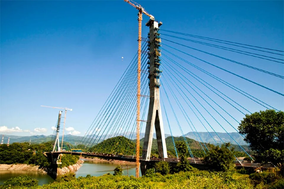
Basohli: Ravi-side Town and a Centre of Pahari Painting
Basohli is a town in Kathua district, in the Jammu region, overlooking the Ravi river landscape.
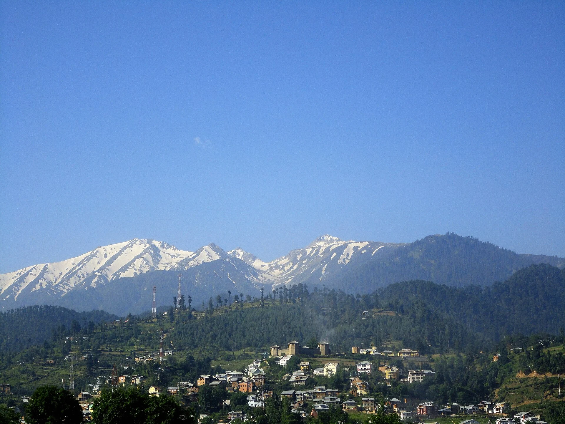
Bhaderwah: Town, Valley and the Bhadarwahi Cultural Landscape
The mountain town and valley, local language identity and relationship with surrounding destinations.
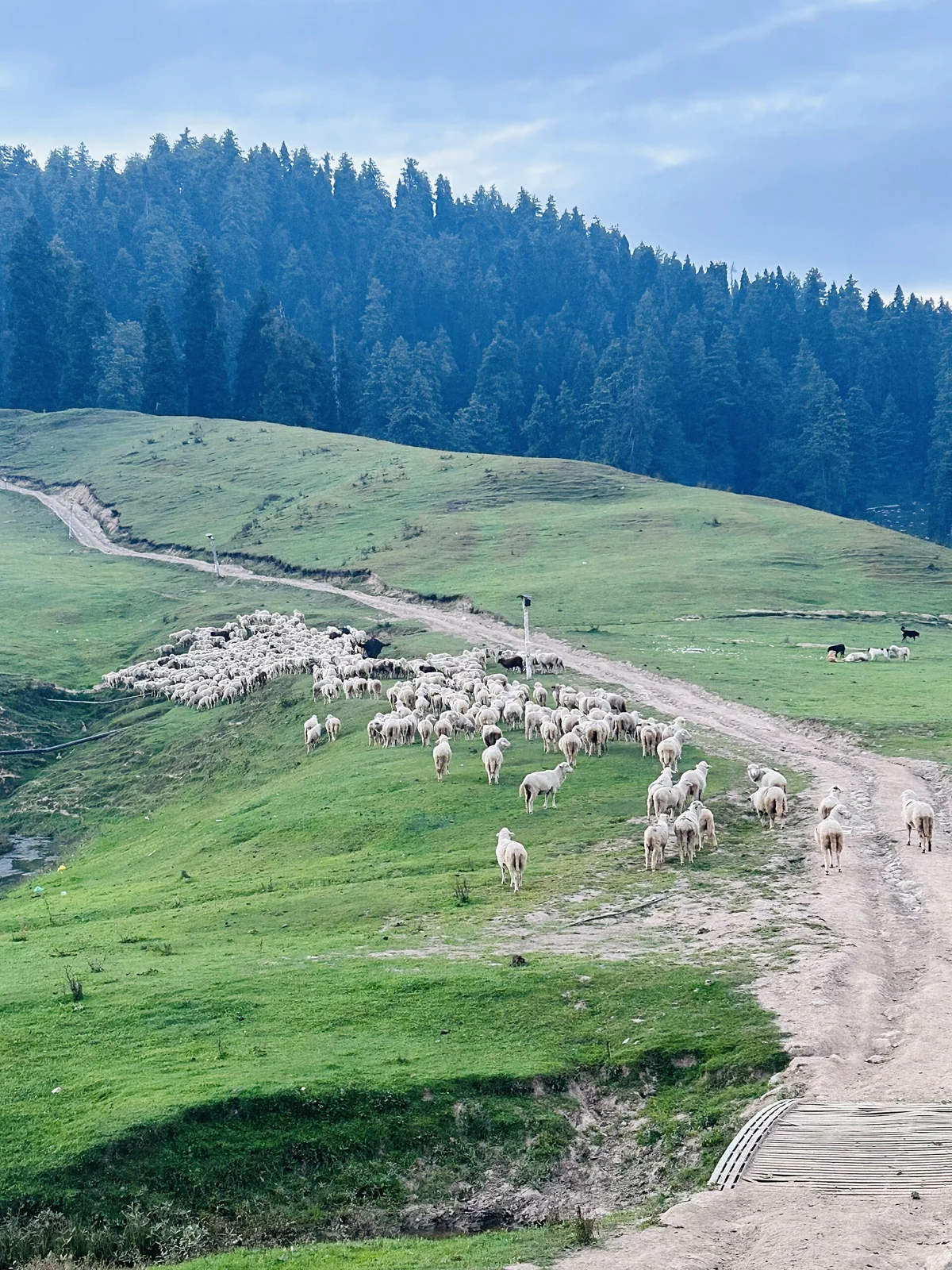
Gulmarg: Meadow, Resort History and Winter Sports
A connected profile of Gulmarg’s upland meadow, historical patronage, recreational landscape and winter sports.