
Black-necked Crane: Wetland Breeding Habitat in Ladakh
The black-necked crane is an important bird of Ladakh's high-altitude wetland landscapes.
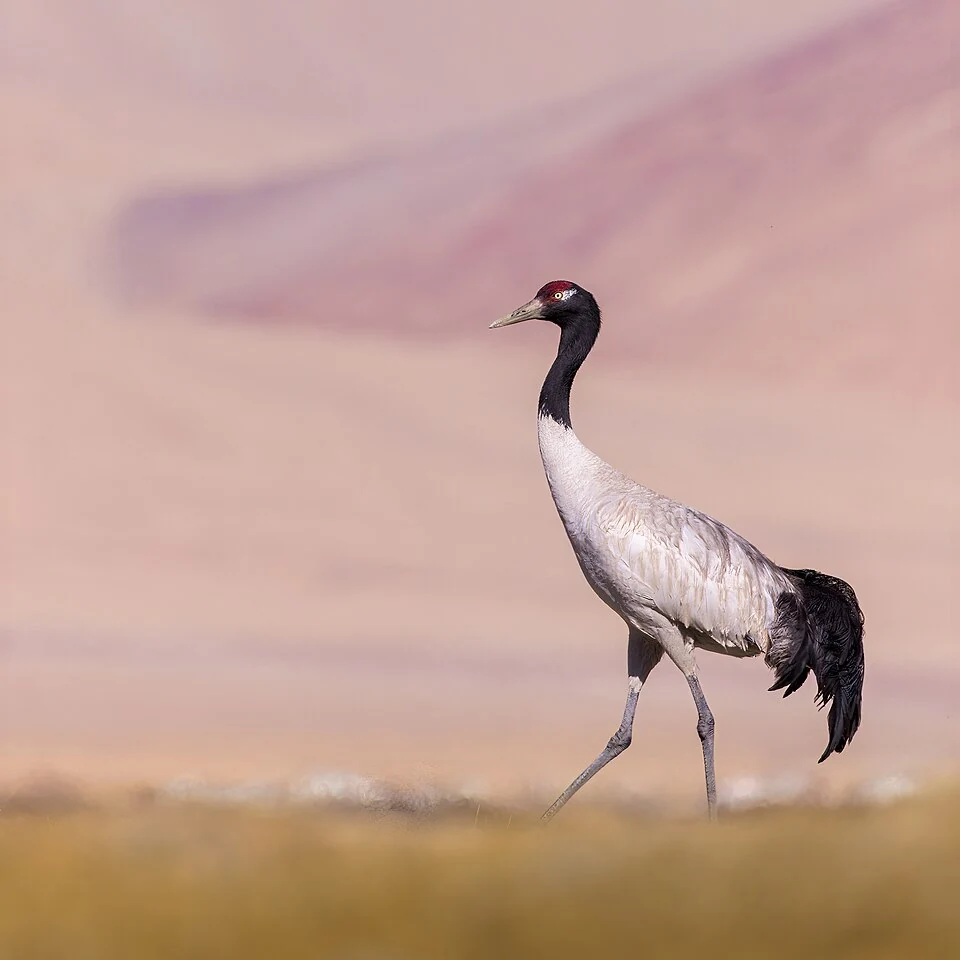
The black-necked crane is an important bird of Ladakh's high-altitude wetland landscapes. Its pale body, dark neck and head, and contrasting markings make it recognisable, but identification should be based on the whole bird rather than one distant colour patch. In this entry the focus is its Ladakh context, especially breeding habitats in Changthang.[1]
Wetlands and breeding
The species uses open highland environments and wetland settings, with feeding and nesting requirements that differ from simply standing beside a lake. Shallow water, marshy margins and nearby ground can all form parts of its habitat. A bird photograph records an individual at a particular moment, not the condition of the whole breeding area.[1]
Ladakh's official conservation records identify the crane as the Union Territory's emblematic bird and document community-linked protection activity. The Tso Kar festival records also connect public engagement with a particular wetland landscape. These are cultural and conservation relationships, not permission to approach nests.[2][3]
Watching without disturbing
A visitor can observe from a distance without turning a nesting area into a viewing platform. Getting closer may change the behaviour being observed. The most useful record states the date, place and circumstances while respecting local restrictions and the birds' space.
Counts should identify the survey period and distinguish adults, chicks and other observations. Adding figures from different dates or sites can produce a misleading total. This encyclopedia profile explains habitat and significance rather than presenting an unverified current population estimate.
Compare Tso Kar and Tso Moriri, which describe separate lake and wetland systems. Hanle adds a settlement context, while Snow Leopard introduces a different conservation subject. The marker represents Changthang wetland context; it is not a nest coordinate, a wildlife-sighting promise or a route authorising entry into sensitive habitat.
A protected wetland designation does not make every part of its shore equivalent nesting or feeding habitat.
Photograph and map record
Photograph: Sumeetmoghe via Wikimedia Commons. Licence: CC BY-SA 4.0. Recorded capture date: 2023-05-16 05:43:29. Resized and converted to WebP; scene content unchanged. This is a dated view, not confirmation of the site’s present appearance.

Map marker: 32.97, 78.26. Editorial regional-context marker for Changthang. This subject is not a single physical destination: the point is not a birthplace, workshop, harvest site, species range, guaranteed wildlife locality or boundary of language use. View location on OpenStreetMap · View Google Maps · Google directions · OpenStreetMap directions.
Research checked: 14 October 2026. For a visit, confirm current access, transport and opening information with the relevant authorities. This encyclopedia profile provides geographical and historical context.
Sources & references
[1] Black-necked crane — secondary historical/geographical overview
https://en.wikipedia.org/wiki/Black-necked_crane ↗
[2] Ladakh Forest, Ecology and Environment Department
https://ladakh.gov.in/forest-ecology-environment-department/ ↗
[3] Ladakh administration: Tso Kar crane festival conservation activities
Photograph and licence
https://commons.wikimedia.org/wiki/File:Black_necked_crane_at_Hanle.jpg ↗
Related reading
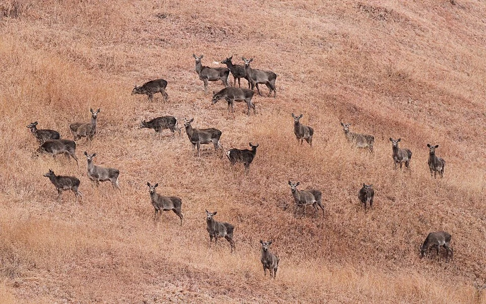
Hangul: Kashmir’s Red Deer and Its Conservation Setting
Hangul is the Kashmir red deer, a distinctive deer population closely associated with the Kashmir Valley and particularly Dachigam.
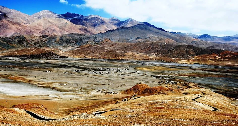
Hanle: Settlement, Monastery and the High-altitude Night Sky
Hanle is a settlement in the high-altitude Changthang region of Ladakh, in the valley of the Hanle river.
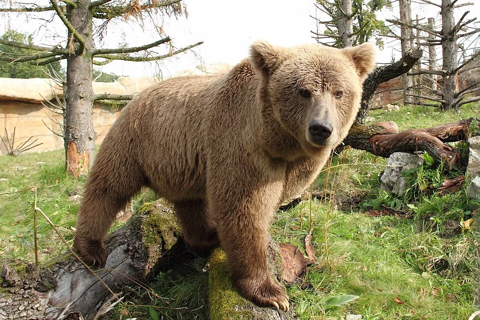
Himalayan Brown Bear: Mountain Ecology in Kashmir and Ladakh
The Himalayan brown bear is a mountain-associated form of brown bear found within the wider Himalayan region, including parts of Kashmir and Ladakh.