
Kishtwar High Altitude National Park: Mountain Habitat in Jammu
Kishtwar High Altitude National Park is a protected mountain landscape in Kishtwar district in the Jammu region. Its importance lies in high-altitude habitat and the connected valleys and slopes that support wildlife. The park is distinct from Kishtwar town, even though the town provides a familiar regional reference point.
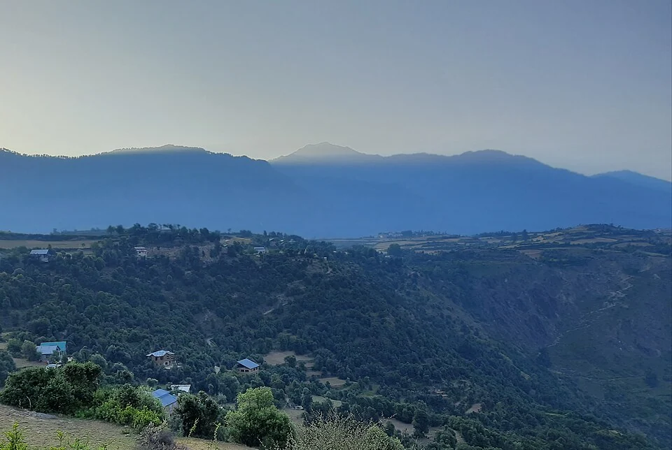
Kishtwar High Altitude National Park is a protected mountain landscape in Kishtwar district in the Jammu region. Its importance lies in high-altitude habitat and the connected valleys and slopes that support wildlife. The park is distinct from Kishtwar town, even though the town provides a familiar regional reference point.[1]
A varied mountain habitat
The Kishtwar administration's tourism account describes the park as extending across a broad altitude range and supporting mammals and birds. That variation is important: a protected mountain area can include different vegetation and terrain rather than one uniform habitat.[2]
Short reference accounts identify river and mountain boundaries around the park. They provide orientation but should not be substituted for a current surveyed boundary map. Older published area figures can differ from later administrative descriptions, so an area statistic needs its source and date.[1]
Understanding a protected landscape
A species list says that an animal has been associated with the area; it does not show where every individual lives or whether a visitor can observe it on a given day. A conservation account becomes more useful when observations, habitat descriptions and estimates remain separate.
The surrounding Kishtwar region includes inhabited valleys and working landscapes. A photograph from the district can provide regional orientation while still being clearly labelled as outside an independently verified park viewpoint. That distinction prevents a scenic image from becoming false evidence of a boundary or entry route.
Access to remote mountain ground is a practical question requiring current local information. The location of a park on a map does not establish a road reaching its centre, a marked trail or an open visitor facility. An encyclopedia should describe geography without inventing those services.
Read Kishtwar Town, Chenab River and Dachigam National Park for regional and protected-area comparisons. They differ in terrain and access, despite sharing a conservation vocabulary. This article uses an explicitly labelled Kishtwar regional marker until a suitable visitor-orientation point is verified; it is not a park boundary or an authorised entrance.
Image and map record
Image: PIXI-14 via Wikimedia Commons. Licence: CC BY-SA 4.0. Recorded capture date: 2021-09-04. Resized and converted to WebP; image content unchanged. This is a dated view, not confirmation of the site’s present appearance.
.jpg)
Map marker: 33.32, 75.77. Labelled representative town/valley context marker, not the full river course, its source or mouth, a wildlife-park boundary, a verified entrance or an authorised riverbank viewpoint. View location on OpenStreetMap · View Google Maps · Google directions · OpenStreetMap directions.
Research checked: 14 October 2026. For a visit, confirm current access, transport and opening information with the relevant authorities. This encyclopedia profile provides geographical and historical context.
Sources & references
[1] Reference overview: Kishtwar National Park
https://en.wikipedia.org/wiki/Kishtwar_National_Park ↗
[2] Kishtwar administration: High Altitude National Park
https://kishtwar.nic.in/tourist-place/kishtwar-national-park/ ↗
Image and licence
https://commons.wikimedia.org/wiki/File:View_from_pochal,_kishtwar_(aarse).jpg ↗
Related reading
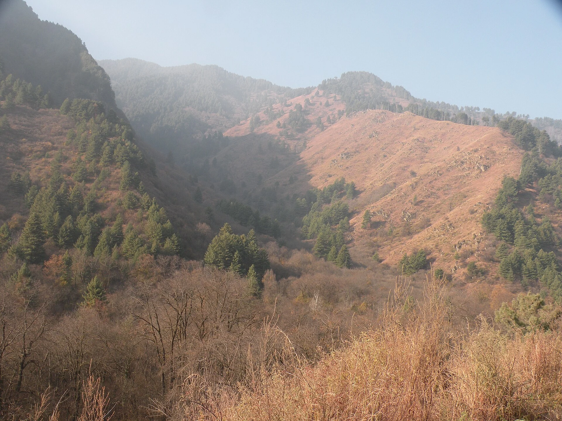
Dachigam National Park: Landscape, Hangul and Conservation
Dachigam’s protection history, varied terrain, water connections and wildlife-conservation context.
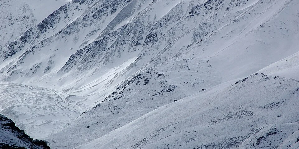
Hemis National Park: Mountain Habitat in Ladakh
Hemis National Park is a high-altitude protected landscape in Ladakh, associated particularly with snow-leopard habitat and mountain wildlife. The par
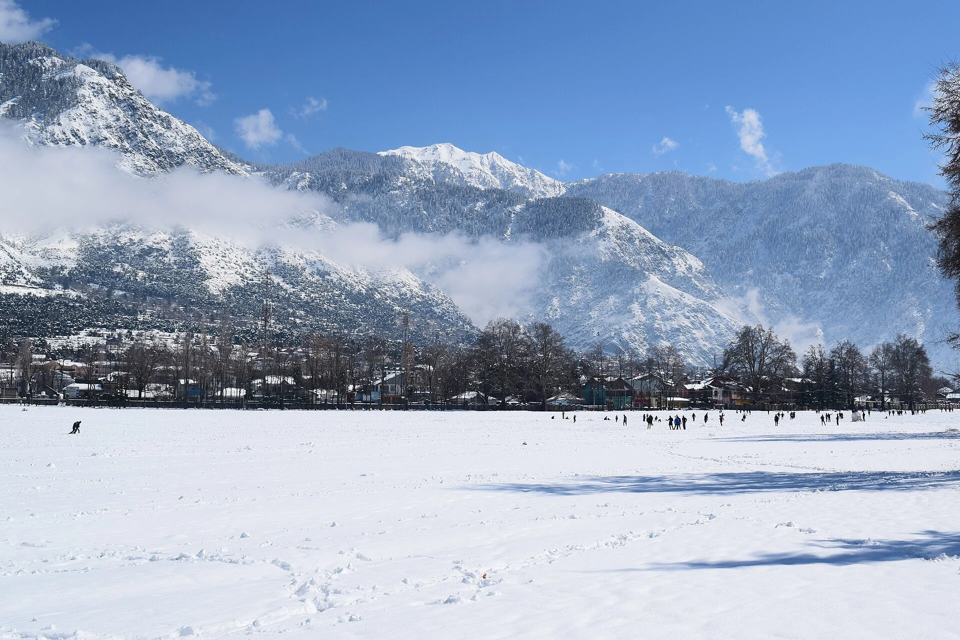
Kishtwar Town: Chowgan, Settlement and the Upper Chenab Region
The headquarters town’s Chowgan, institutions and distinction from the wider district and national park.