
Kishtwar Town: Chowgan, Settlement and the Upper Chenab Region
The headquarters town’s Chowgan, institutions and distinction from the wider district and national park.
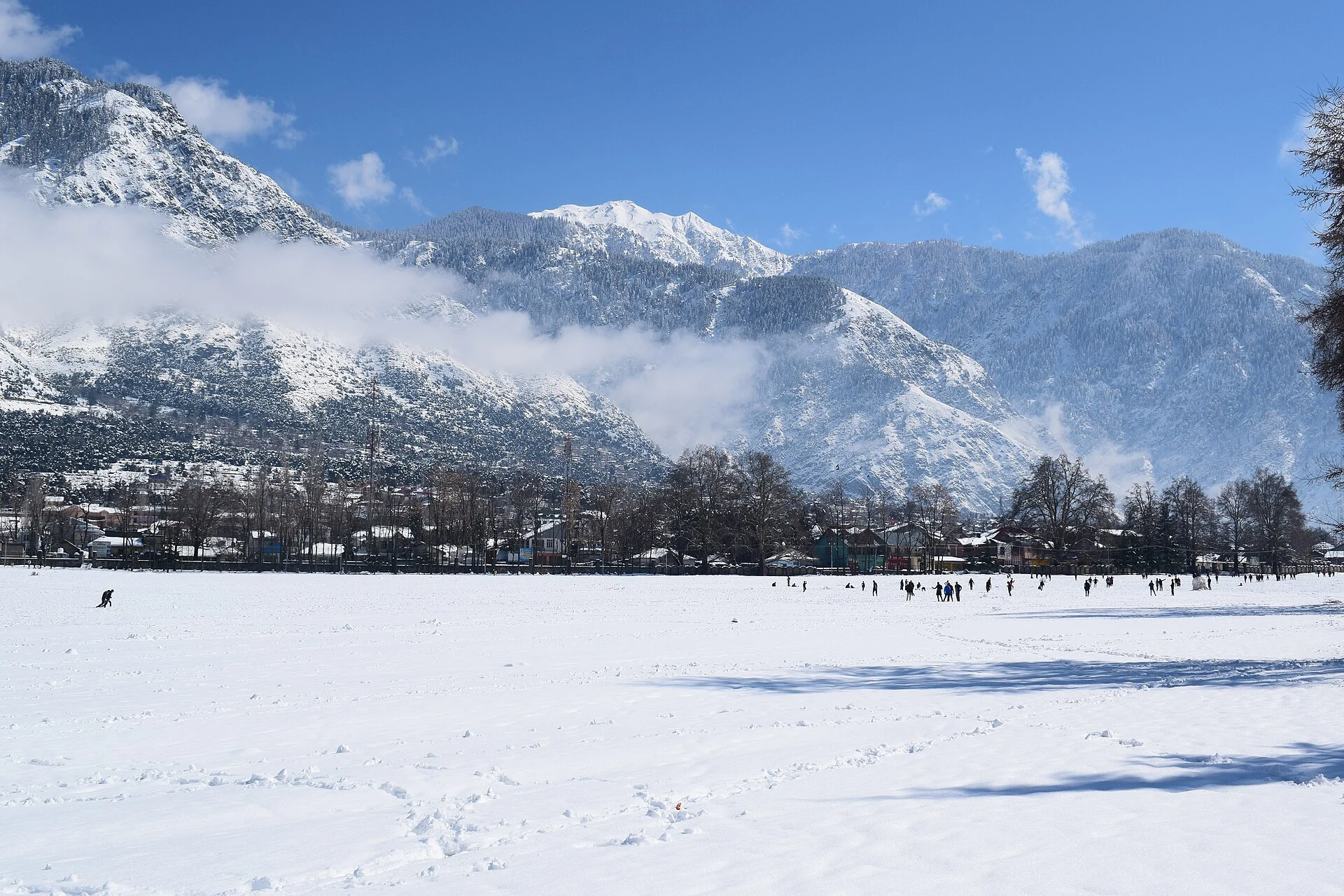
Kishtwar is the headquarters town of Kishtwar district in the Jammu region. The town occupies a mountain setting within the wider upper Chenab landscape. Its open Chowgan ground, built neighbourhoods, religious places and administrative functions give it an identity different from the national park and remote valleys that share the district name. This article concerns the town, not the full extent of the district or park.[2]
The Chowgan and the town’s landscape
The district’s places-of-interest account identifies the Chowgan as a major open space within Kishtwar. It also describes views from higher ground around the town. An open ground provides a different spatial experience from enclosed streets: it allows the settlement and surrounding mountains to be read together. Its significance includes community use as well as scenic recognition.[1]
The accompanying photograph shows the Chowgan and mountain surroundings in a snowy season. It is a record of one set of conditions, not evidence that the ground remains snow-covered throughout the year. A seasonal image can help explain the town’s mountain setting while retaining the difference between the photographed moment and the place’s broader climate.
Historic and religious places
The district account includes religious and historical places around Kishtwar, among them Ziyarat Shah Farid-ud-Din and temple associations. These named institutions belong in the urban profile, but require their own histories rather than being treated as interchangeable landmarks. A town can contain several traditions within one shared geography.[1]
The secondary account relates Kishtwar’s history to regional kingdoms and later administrative change. Historical rule, municipal settlement and the creation of the present district are different topics. The map point for this entry does not claim to represent all places that were connected with Kishtwar during every earlier political period.[2]
Town, district and protected landscape
The district tourism overview lists the national park and valleys such as Marwah and Warwan within a much wider destination geography. Their inclusion does not put them inside Kishtwar town. The town can act as a regional reference point while particular valleys, trailheads and protected areas remain separate destinations with different physical and administrative conditions.[3]
This distinction is especially important for images. A photograph of the Chowgan is suitable for the town entry but would not prove that the pictured ground lies within Kishtwar National Park. The encyclopedia therefore keeps the illustrated subject, title and category aligned rather than use a general district photograph to stand in for an unverified protected-area scene.
A mountain centre rather than one scenic stop
Kishtwar’s role as a headquarters brings offices, services, trade and ordinary journeys into its townscape. Those functions sit alongside religious places and the surrounding mountain views. An account focused only on adventure travel would leave out the settlement that enables much of the region’s everyday administration and movement.
Read Bhaderwah for another regional town and valley, and Krimchi for a different historical site in the Jammu hills. Compare Kargil district for another mountain administrative landscape, while keeping the difference between town-scale and district-scale entries clear.
Photograph and map record
Photograph: Pradeep Parihar (website) via Wikimedia Commons. Licence: CC BY-SA 4.0. Recorded capture date: 2018-02-13. Resized and converted to WebP; scene content unchanged. This is a dated view, not confirmation of the site’s present appearance.

Map marker: 33.32, 75.77. Representative coordinate from the secondary geographical reference; not a surveyed boundary or a verified accessible entrance. View location on OpenStreetMap · View Google Maps · Google directions · OpenStreetMap directions.
Research checked: 14 October 2026. For a visit, confirm current access, transport and opening information with the relevant authorities. This encyclopedia profile provides geographical and historical context.
Sources & references
[1] Primary place or institutional account
https://kishtwar.nic.in/places-of-interest/ ↗
[2] Secondary historical and geographical reference
https://en.wikipedia.org/wiki/Kishtwar ↗
[3] District Kishtwar — Wider tourism geography
https://kishtwar.nic.in/tourism/ ↗
Photograph and licence
https://commons.wikimedia.org/wiki/File:Chowgan_ground_in_Kishtwar,_Jammu,_India.jpg ↗
Related reading
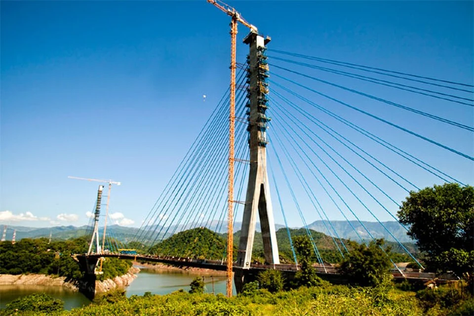
Basohli: Ravi-side Town and a Centre of Pahari Painting
Basohli is a town in Kathua district, in the Jammu region, overlooking the Ravi river landscape.
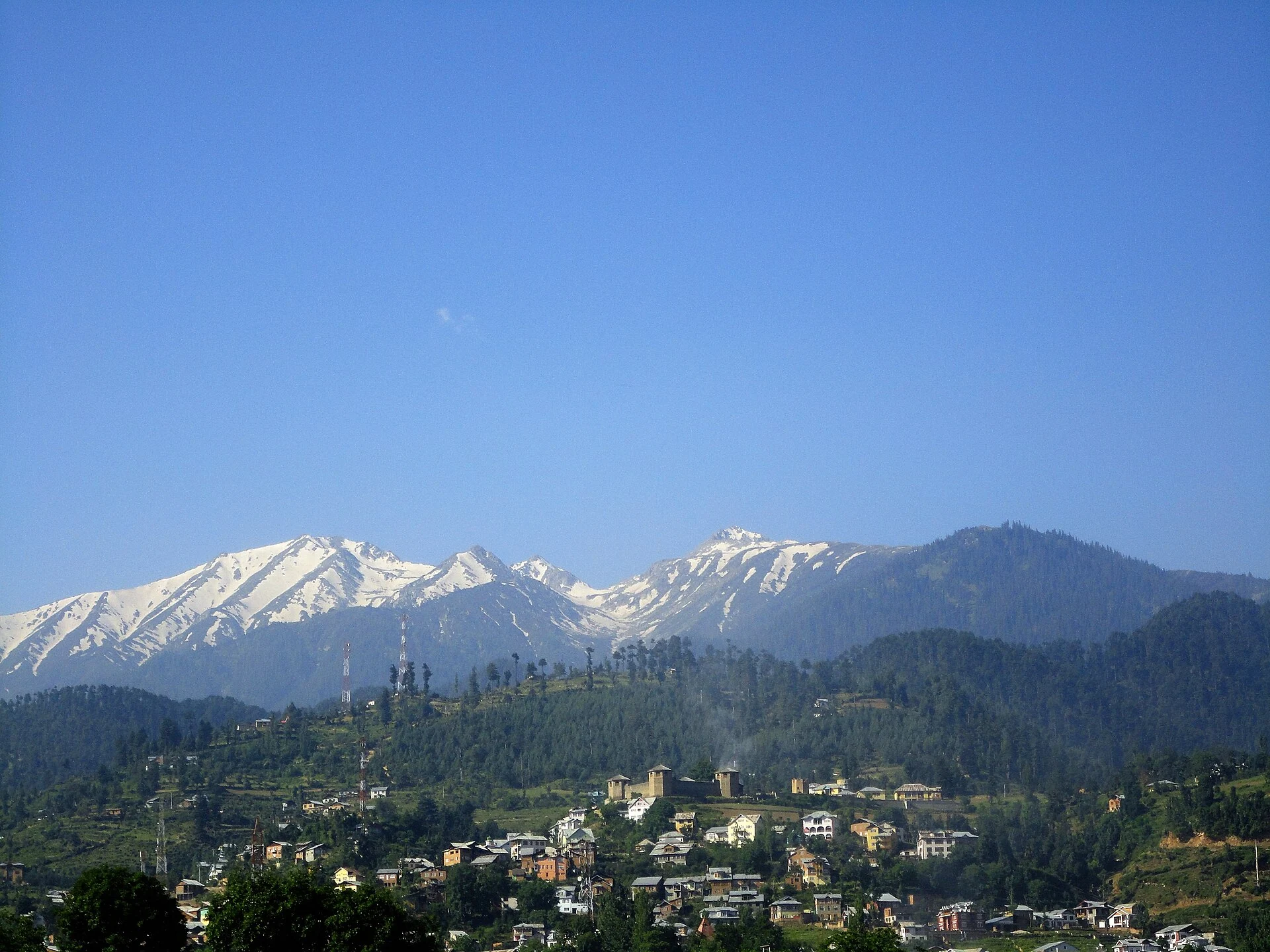
Bhaderwah: Town, Valley and the Bhadarwahi Cultural Landscape
The mountain town and valley, local language identity and relationship with surrounding destinations.
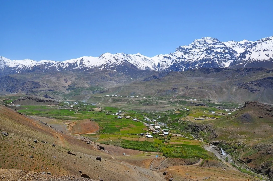
Drass: Mountain Settlement on the Srinagar–Ladakh Corridor
Drass, also written Dras, is a mountain settlement on the road corridor between the Kashmir Valley and Kargil.