
Chenab River: A Mountain River across the Jammu Region
The Chenab is a major Himalayan river flowing through the Jammu region. Its mountain valleys connect settlements, bridges and hydroelectric projects, giving it importance beyond a single scenic viewpoint. The river is formed by the Chandra and Bhaga headwaters upstream of Jammu and Kashmir and continues beyond the region into Pakistan.
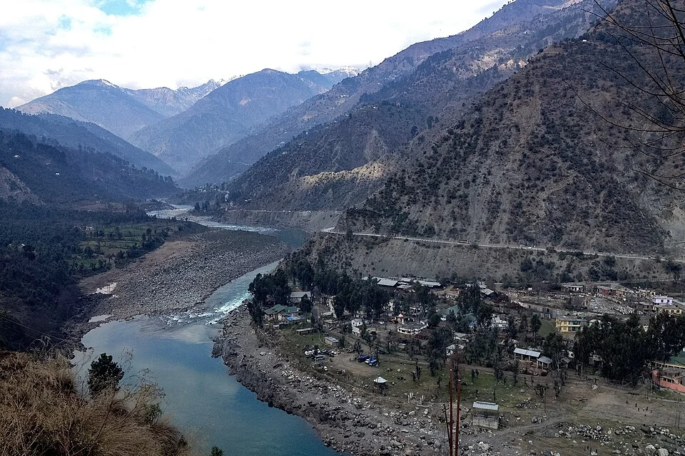
The Chenab is a major Himalayan river flowing through the Jammu region. Its mountain valleys connect settlements, bridges and hydroelectric projects, giving it importance beyond a single scenic viewpoint. The river is formed by the Chandra and Bhaga headwaters upstream of Jammu and Kashmir and continues beyond the region into Pakistan.[1]
A connected river corridor
The Central Water Commission identifies the Chenab basin within the larger Indus basin. A basin is the land area draining to a river system, rather than only the visible water channel. That distinction is useful when considering tributaries, rainfall, snow and the location of water infrastructure.[2]
In the Jammu-region course, the river passes through a landscape of steep slopes and inhabited valleys. Ramban and Akhnoor provide different river settings: one in a mountain corridor and the other farther downstream. A photograph from either place should not be labelled as the river's entire landscape.[1]
Bridges and power projects
The river's infrastructure includes Baglihar in Ramban and Salal in Reasi. Their district and operator accounts identify separate projects with distinct capacities. Hydroelectric infrastructure and railway crossings use the same river landscape for different purposes.[3]
The Chenab Rail Bridge is a particular structure crossing a particular gorge, not a synonym for the river. An engineering account needs measurements of that structure, while a river profile needs evidence about the drainage network and channel. Keeping the subjects separate makes cross-reference links more useful.
Water agreements and disputes also belong to the river's history, but descriptions of the current diplomatic position need current, dated records. This entry provides geographical orientation and does not treat an older treaty summary as an update on present negotiations.
Read Chenab Rail Bridge, Baglihar and Salal for the individual structures. Tawi covers a tributary. The Doda context point is a representative regional marker, not the river's source, mouth or a mapped line covering its entire transboundary course. The illustration identifies a dated reach at Ramban.
Image and map record
Image: Shoaib tantray111 via Wikimedia Commons. Licence: CC BY-SA 4.0. Recorded capture date: 2016-01-27 11:49:10. Resized and converted to WebP; image content unchanged. This is a dated view, not confirmation of the site’s present appearance.

Map marker: 33.25, 75.25. Representative Ramban-town context marker for the Chenab corridor. Not the river source, mouth, entire course or a verified riverbank entrance. View location on OpenStreetMap · View Google Maps · Google directions · OpenStreetMap directions.
Research checked: 14 October 2026. For a visit, confirm current access, transport and opening information with the relevant authorities. This encyclopedia profile provides geographical and historical context.
Sources & references
[1] Reference overview: Chenab River
https://en.wikipedia.org/wiki/Chenab_River ↗
[2] Central Water Commission: Indus and Chenab basin
https://cwc.gov.in/en/ibo/about-basins ↗
[3] Ramban administration: Chenab hydropower
https://ramban.gov.in/project/hydro-electric-project/ ↗
Image and licence
https://commons.wikimedia.org/wiki/File:River_Chenab_Ramban.jpg ↗
Related reading
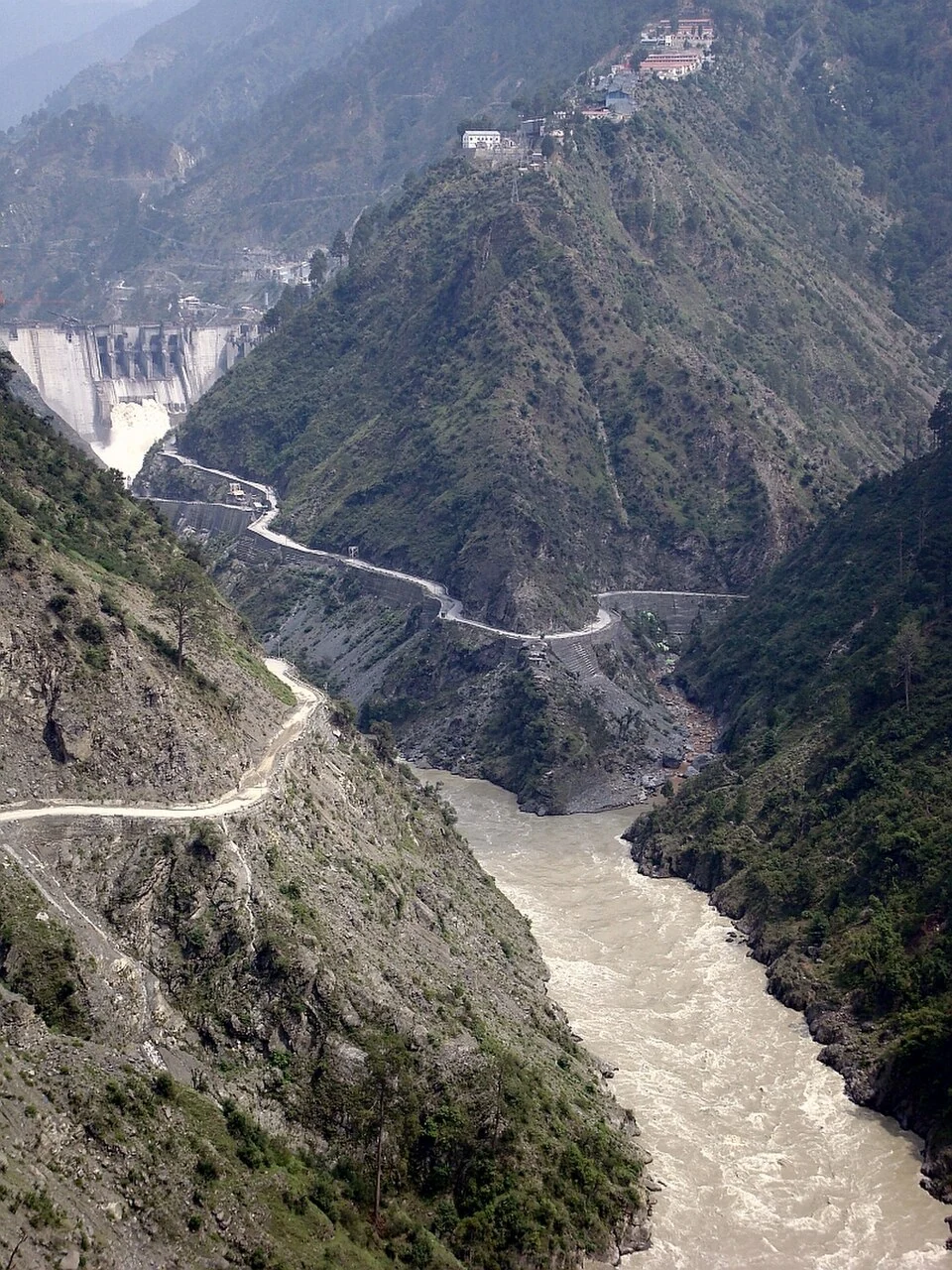
Baglihar: Hydropower and the Chenab at Chanderkote
Baglihar is a hydroelectric project on the Chenab at Chanderkote in Ramban district. Its dam, reservoir and generating works form an engineered landsc
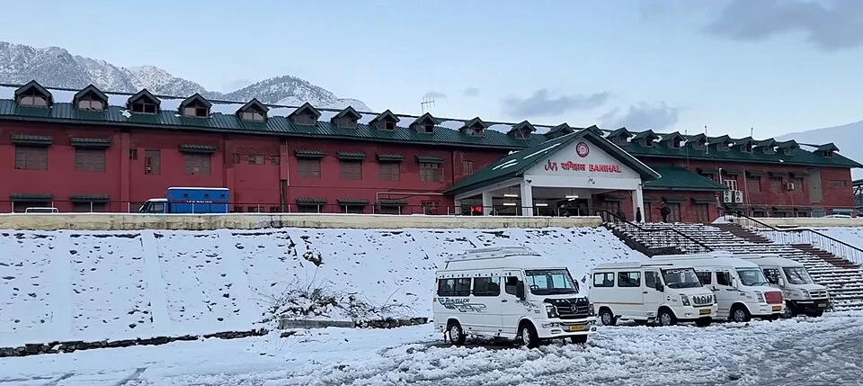
Banihal Railway Station: The Pir Panjal Rail Connection
Banihal railway station lies in Ramban district on the rail route connecting the Jammu hills with the Kashmir Valley.
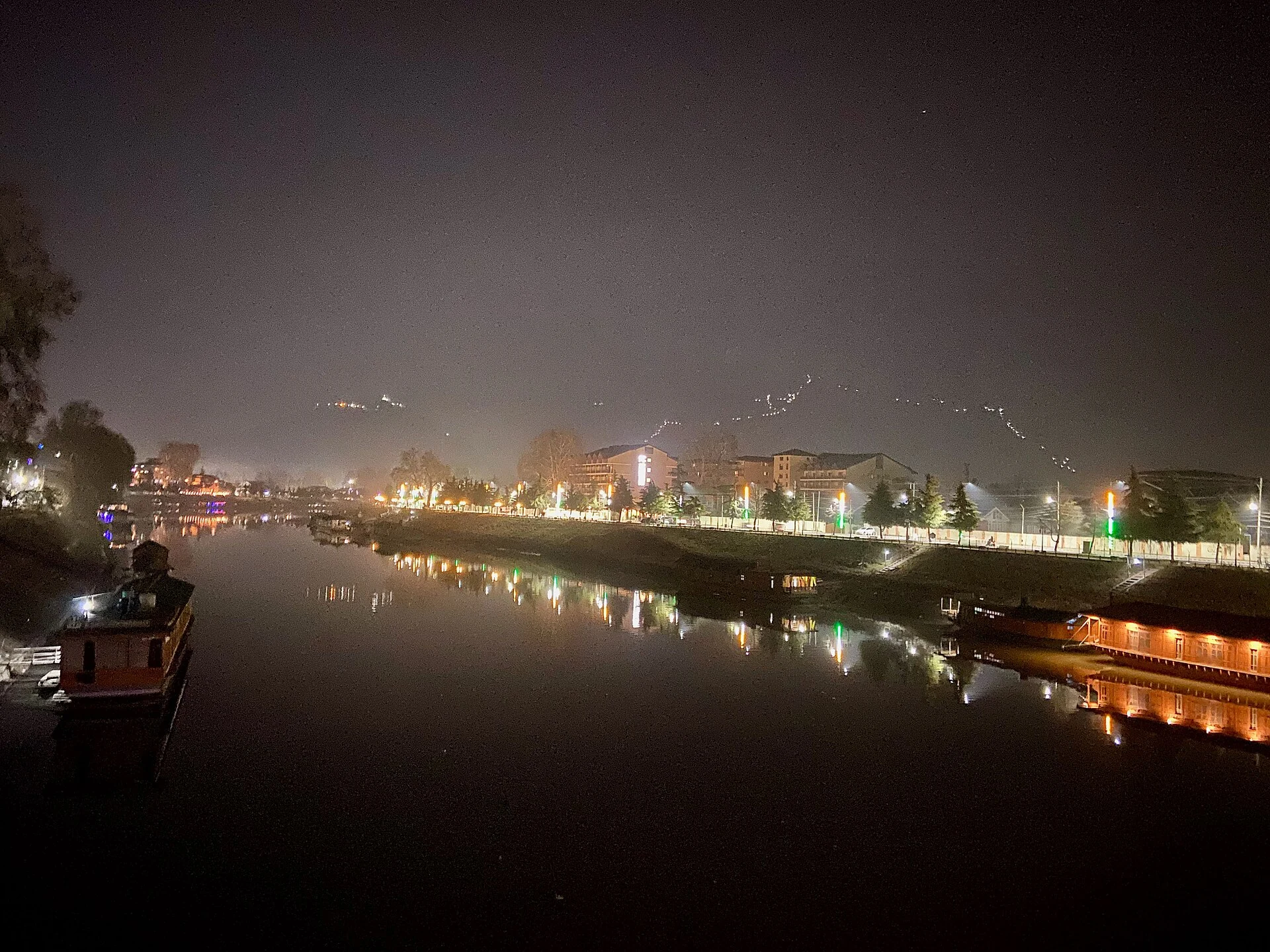
Jhelum River in Srinagar: Vyath, Crossings and Riverfront Heritage
The urban Jhelum, its place in regional drainage, bridges and connections with Srinagar’s built heritage.
Referenced by
- Akhnoor Fort: Built Heritage beside the Chenab
- Baglihar: Hydropower and the Chenab at Chanderkote
- Salal: Hydropower and the Chenab in Reasi
- Tawi River: Jammu’s River and Its Mountain Catchment
- Kishtwar High Altitude National Park: Mountain Habitat in Jammu
- Ramban: Town, River and the Jammu–Kashmir Road Corridor