
Kupwara: Town and District Headquarters in Northern Kashmir
Kupwara is a town and the administrative headquarters of Kupwara district in northern Kashmir. The shared name can refer either to the settlement or to the larger district, so the scale of each statement matters. A town profile concerns the urban place; district-wide forests, valleys and population figures should not automatically be assigned to the town itself.
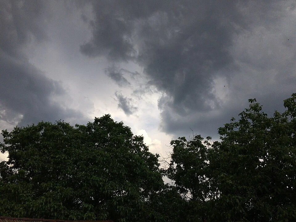
Kupwara is a town and the administrative headquarters of Kupwara district in northern Kashmir. The shared name can refer either to the settlement or to the larger district, so the scale of each statement matters. A town profile concerns the urban place; district-wide forests, valleys and population figures should not automatically be assigned to the town itself. [1]
Headquarters and surrounding geography
The district administration records Kupwara district’s separation from Baramulla in 1979 and describes the surrounding mountain and valley landscape. These facts provide administrative and regional context for the headquarters. They do not mean that every named pass or border valley lies within the built-up town. [2]
A headquarters connects a settlement with services used by a wider area. Administrative work, local addresses and journeys to district institutions help explain that role. The district boundary and the town’s inhabited extent remain different geographical objects even when both use the same name.
Town, valleys and roads
Kupwara appears in accounts of journeys towards northern Kashmir’s valleys. A route passing through or near a town creates a connection, not an identity between the gateway and every destination beyond it. Lolab, Karnah and other regional names need separate location records rather than being illustrated as parts of one town centre.
The selected image is identified from its source record. A district landscape photograph may provide regional context but should not be labelled a Kupwara street view without evidence. Dated photographs preserve appearance at a particular time and do not establish present transport or institutional services.
Reading the administrative record
Compare the town entry with Lolab Valley, Handwara and other northern Kashmir profiles to understand different scales of settlement and landscape. A census figure must retain its year and whether it describes a town or a district. The map coordinates give town orientation, not a surveyed municipal boundary or a verified entrance to every district office. For a practical appointment, use the institution’s actual address. Keeping town identity, administrative role and surrounding geography distinct makes Kupwara’s regional importance clearer without attaching the whole district’s characteristics to one urban point.
Image and map record
Image: Annas bhat via Wikimedia Commons. Licence: CC BY-SA 4.0. Recorded capture date: 2017-05-30 16:59:20. Resized and converted to WebP; image content unchanged. This is a dated view, not confirmation of the site’s present appearance.
Map marker: 34.52583333, 74.25527778. Source-recorded orientation point, not a surveyed boundary, verified visitor entrance, campsite or present access guarantee. View location on OpenStreetMap · View Google Maps · Google directions · OpenStreetMap directions.
Research checked: 15 October 2026. For a visit, confirm current access, transport and opening information with the relevant authorities. This encyclopedia profile provides geographical and historical context.
Sources & references
[1] Wikipedia: Kupwara (secondary overview)
https://en.wikipedia.org/wiki/Kupwara ↗
[2] Kupwara administration: district history and landscape
https://kupwara.nic.in/about-district/ ↗
Image and licence
Related reading
Anantnag: Town, Springs and Southern Kashmir
Anantnag is a major town and district headquarters in southern Kashmir. The name also refers to the surrounding district, so town history and district
Aru: Village and Mountain Landscape above Pahalgam
Aru is a village and mountain visitor destination in Anantnag district, above the Pahalgam area. It is also known as Adav in Kashmiri. Meadows, settle
Basohli: Ravi-side Town and a Centre of Pahari Painting
Basohli is a town in Kathua district, in the Jammu region, overlooking the Ravi river landscape.