
Ladakh Apricots: Orchards and Fruit in Mountain Settlements
Apricot cultivation is a recognizable part of Ladakh’s orchard landscape. Trees, fresh fruit, drying and trade connect settled valleys with a crop that can be consumed or processed in different forms. The government’s food-processing profile identifies apricots within Ladakh’s agricultural resources, providing an institutional basis for treating the crop as a regional livelihood subject.
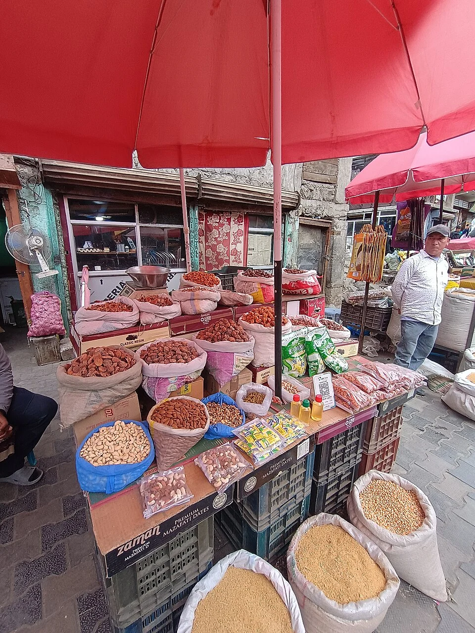
Apricot cultivation is a recognizable part of Ladakh’s orchard landscape. Trees, fresh fruit, drying and trade connect settled valleys with a crop that can be consumed or processed in different forms. The government’s food-processing profile identifies apricots within Ladakh’s agricultural resources, providing an institutional basis for treating the crop as a regional livelihood subject. [1]
Orchards in a mountain region
Ladakh’s Agriculture Department describes its work in supporting farming and related production. Such departmental material places orchards within a wider system of cultivated land, inputs and farmer services. It should not be read as evidence that every village grows the same crop or that all locations share identical growing conditions. [2]
A mountain region contains different valley floors, slopes and settlement elevations. These differences matter when interpreting an orchard photograph. A view from a named village documents that location, while a regional map marker provides a broader reference. Neither should be used as a boundary for the entire crop’s cultivation.
Fresh and dried fruit
Fresh fruit and dried apricots belong to different stages of handling. Drying changes how a harvest can be stored and transported, while fresh sales depend on a more immediate connection between picking and consumption. The two forms help explain why an orchard crop remains visible in market photographs beyond the moment of harvest.
An apricot tree, a drying surface and a market display each tell a different part of the story. Combining them into one account makes the production chain clearer, but a single photograph cannot prove the quantity harvested, the quality of processing or the exact origin of goods displayed for sale.
Connections and interpretation
Compare apricots with Ladakh’s barley and buckwheat entries to distinguish perennial orchards from annual field crops. Read village and market profiles for the settlement context in which produce moves. The Kargil marker is explicitly regional context rather than an individual farm entrance. The image credit retains the actual photographed locality. This entry explains the crop’s place in Ladakh without using an undated production ranking, promising a harvest-season event or presenting one orchard as representative of every part of the region.
Image and map record
Image: Rajani Gairshail via Wikimedia Commons. Licence: CC BY-SA 4.0. Recorded capture date: 2026-06-19 17:10:43. Resized and converted to WebP; image content unchanged. This is a dated view, not confirmation of the site’s present appearance.
Map marker: 34.555, 76.131. Labelled regional/locality context marker; not a verified public entrance, pickup point, birthplace, residence, venue, trailhead, crop boundary or visitor route. View location on OpenStreetMap · View Google Maps · Google directions · OpenStreetMap directions.
Research checked: 15 October 2026. For a visit, confirm current access, transport and opening information with the relevant authorities. This encyclopedia profile provides geographical and historical context.
Sources & references
[1] Ministry of Food Processing Industries: Ladakh profile
https://www.mofpi.gov.in/sites/default/files/KnowledgeCentre/State%20Profile/Ladakh.pdf ↗
[2] Ladakh administration: Agriculture Department
https://ladakh.gov.in/agriculture/ ↗
Image and licence
Related reading
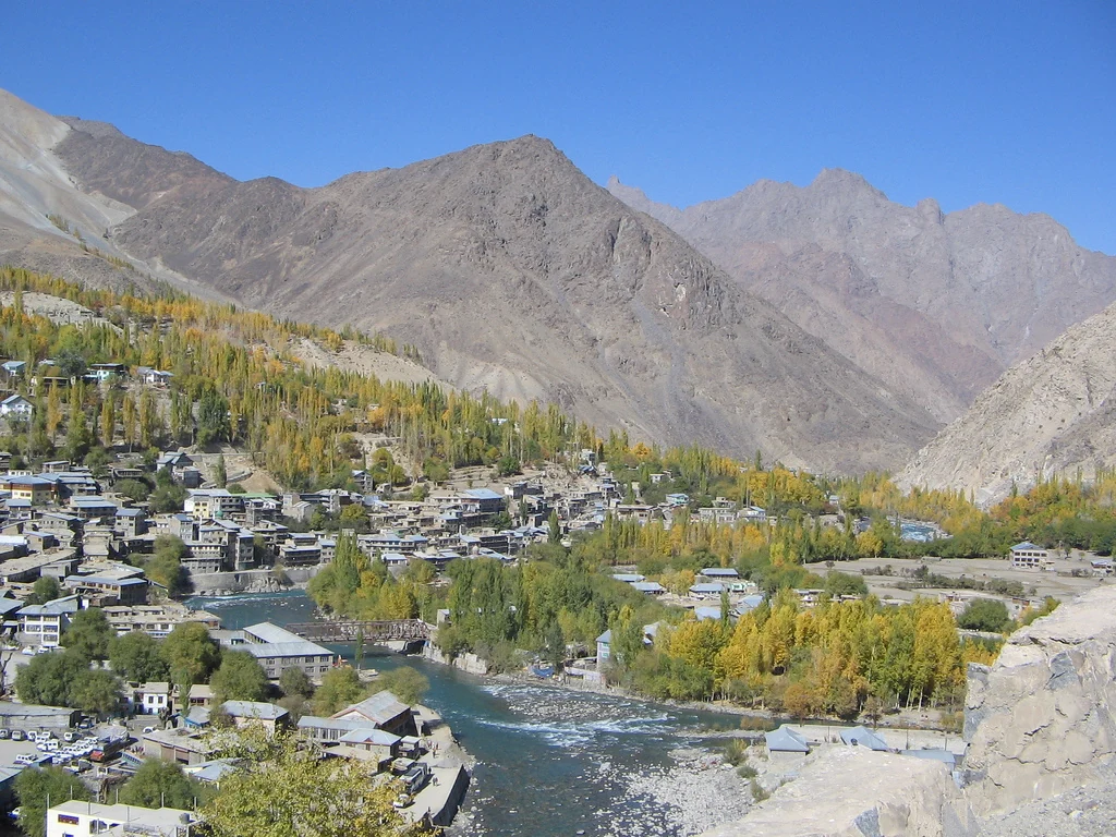
Kargil District: Settlement, Trade and Administrative History
Kargil’s district history, mountain settlement, trade heritage and the distinction between older descriptions and the 2026 district changes.
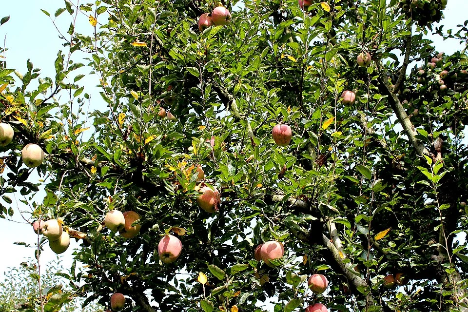
Kashmir Apples: Orchards, Harvest and Regional Livelihoods
Apple growing is a major part of Kashmir's horticultural landscape.

Kashmir Walnuts: Orchards, Harvest and Regional Trade
Walnuts connect Kashmir’s tree-crop landscape with food processing, trade and household consumption. The edible kernel is enclosed within a hard shell