
Kashmir Apples: Orchards, Harvest and Regional Livelihoods
Apple growing is a major part of Kashmir's horticultural landscape.
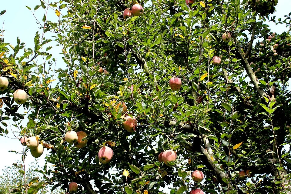
Apple growing is a major part of Kashmir's horticultural landscape. Orchards connect land, seasonal work, fruit handling and markets across several districts. A regional production figure cannot describe every orchard, and a photograph of ripe fruit cannot establish the annual yield of a farm. Cultivation and post-harvest activity need to be considered together.[1]
Orchard and harvest
The National Horticulture Board's Shopian material identifies apples as a regional cluster-development subject and names commercial varieties. Variety, rootstock, orchard layout and management are different aspects of production. A familiar fruit colour is not enough to identify a variety confidently, especially from an undated photograph.[2]
NITI Aayog's horticulture roadmap discusses production, value chains and infrastructure within Jammu and Kashmir. These links explain why an orchard story extends beyond the tree: grading, packing, storage and transport influence how fruit reaches buyers. A sound harvest does not automatically resolve the difficulties of handling a perishable product.[3]
Livelihoods beyond the tree
Seasonal work involves several stages and different participants. Growing, picking, sorting and dispatch may require different skills and equipment. The apparent simplicity of an apple in a market hides those coordinated activities. A useful local record identifies where and when each stage takes place.
Production statistics should state their year, geographical area and unit. Tonnes of fruit, hectares under cultivation and the number of households describe different things. Mixing them or repeating an old figure without its date can give a misleading picture of the sector. This introductory entry consequently emphasises the system rather than claiming a live production total.
Read with Kashmir Saffron for another regional agricultural product and Lolab for a cultivated-valley setting. Kashmir Willow introduces a different crop-linked livelihood. Baramulla supplies this entry's representative district context; apple growing is not limited to that district, and the marker is not the boundary of Kashmir's orchards.
Photograph and map record
Photograph: Auli Raha (??? ????) via Wikimedia Commons. Licence: CC BY-SA 4.0. Recorded capture date: 2023-06-26 14:14:45. Resized and converted to WebP; scene content unchanged. This is a dated view, not confirmation of the site’s present appearance.

Map marker: 34.2, 74.36. Editorial regional-context marker for Baramulla. This subject is not a single physical destination: the point is not a birthplace, workshop, harvest site, species range, guaranteed wildlife locality or boundary of language use. View location on OpenStreetMap · View Google Maps · Google directions · OpenStreetMap directions.
Research checked: 14 October 2026. For a visit, confirm current access, transport and opening information with the relevant authorities. This encyclopedia profile provides geographical and historical context.
Sources & references
[1] Apple — secondary historical/geographical overview
https://en.wikipedia.org/wiki/Apple ↗
[2] National Horticulture Board: Shopian apple cluster
https://nhb.gov.in/pdf/ShopianBrochure.pdf ↗
[3] NITI Aayog: horticulture development roadmap, 2026
Photograph and licence
https://commons.wikimedia.org/wiki/File:Apple_Garden_in_Kashmir,_India.jpg ↗
Related reading
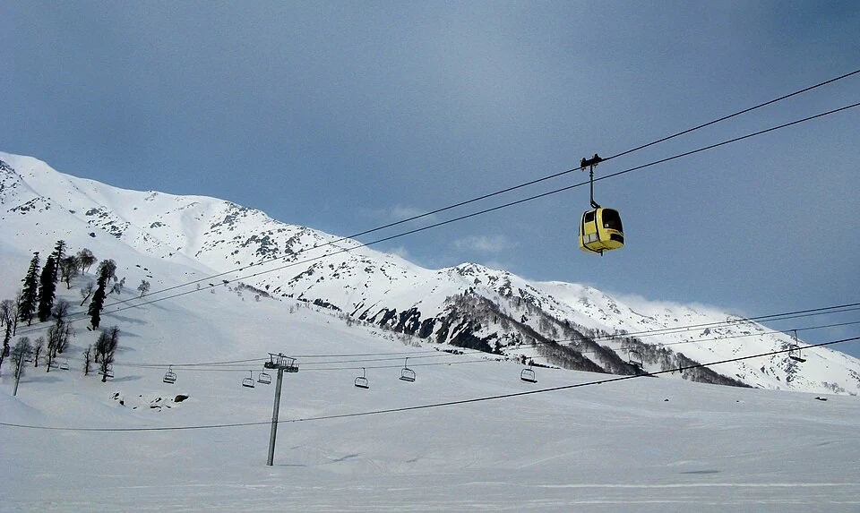
Gulmarg Gondola: Cable Transport on the Apharwat Slopes
The Gulmarg Gondola is a cable-car system connecting Gulmarg with higher terrain on the Apharwat slopes.
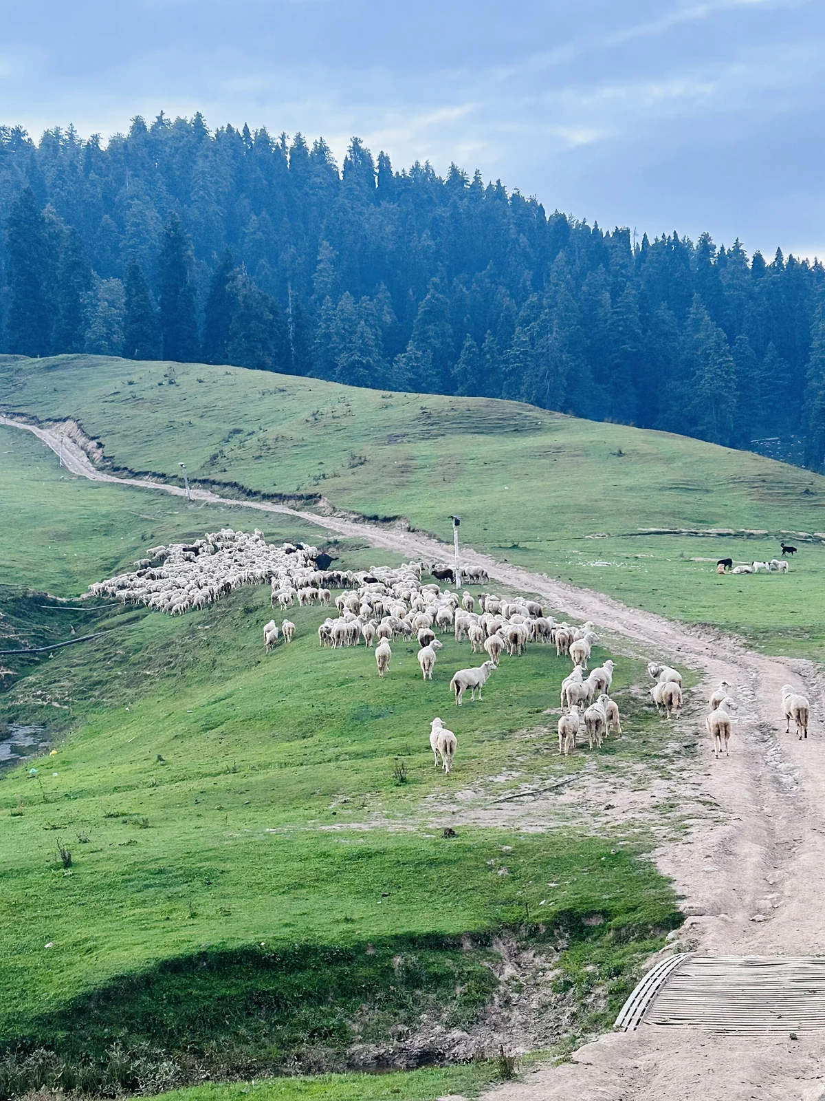
Gulmarg: Meadow, Resort History and Winter Sports
A connected profile of Gulmarg’s upland meadow, historical patronage, recreational landscape and winter sports.