
Pathar Masjid: Mughal Stone Architecture beside the Jhelum
Pathar Masjid, commonly called the Stone Mosque and also known locally as Naev Masheed, is a Mughal-era mosque beside the Jhelum in Srinagar.
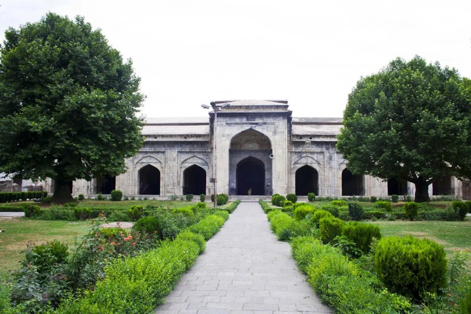
Pathar Masjid, commonly called the Stone Mosque and also known locally as Naev Masheed, is a Mughal-era mosque beside the Jhelum in Srinagar. Its stone construction gives it a distinctive place among the city's religious buildings, many of which are discussed through timber architecture. Material, patronage and the riverbank setting all contribute to its identity.[1]
Mughal patronage and masonry
Historical accounts associate the mosque with Nur Jahan and an early-seventeenth-century construction phase. Its arched frontage and masonry contrast with the pitched-roof forms familiar at other sites. The contrast is architectural, not a claim that one material or religious building type is inherently more important than another.[1]
The Srinagar heritage inventory records its history and the local name. Accounts of controversy and changes of use need to be read with their sources rather than repeated as a single unqualified legend. A present building can preserve evidence of several kinds of use over time.[2]
A riverbank relationship
The mosque's position across the river from the Khanqah-e-Moula area helps connect it with the wider Jhelum-side city. Riverbanks, crossings and religious buildings create a network of places rather than a set of unrelated monuments. The relationship should be described geographically without implying that both institutions had the same patron or construction history.
Stone surfaces invite attention to joints, profiles and the arrangement of openings. A photograph may make the facade clear while showing little of the interior or later modifications. For architectural research, individual features and their dates should be documented rather than assigned to one undifferentiated Mughal phase.
Read Khanqah-e-Moula, Jhelum River in Srinagar and Aali Masjid for connected but distinct subjects. The marker locates the mosque area; it does not establish the boundary of riverbank property or guarantee access to an interior on a particular day.
Its local name and common English description also identify different ways in which residents and visitors recognise the same building.
Photograph and map record
Photograph: Indrajit Das via Wikimedia Commons. Licence: CC BY-SA 4.0. Recorded capture date: 2016-07-04. Resized and converted to WebP; scene content unchanged. This is a dated view, not confirmation of the site’s present appearance.

Map marker: 34.09194444, 74.80583333. Representative source-record location, not a surveyed boundary or verified visitor entrance. Confirm actual access and accessibility locally. View location on OpenStreetMap · View Google Maps · Google directions · OpenStreetMap directions.
Research checked: 14 October 2026. For a visit, confirm current access, transport and opening information with the relevant authorities. This encyclopedia profile provides geographical and historical context.
Sources & references
[1] Pathar Mosque — secondary historical/geographical overview
https://en.wikipedia.org/wiki/Pathar_Mosque ↗
[2] Srinagar Heritage: Pathar Masjid
https://srinagarheritage.in/p/pather-masjid ↗
Photograph and licence
https://commons.wikimedia.org/wiki/File:Pathar_Masjid_in_Srinagar.jpg ↗
Related reading
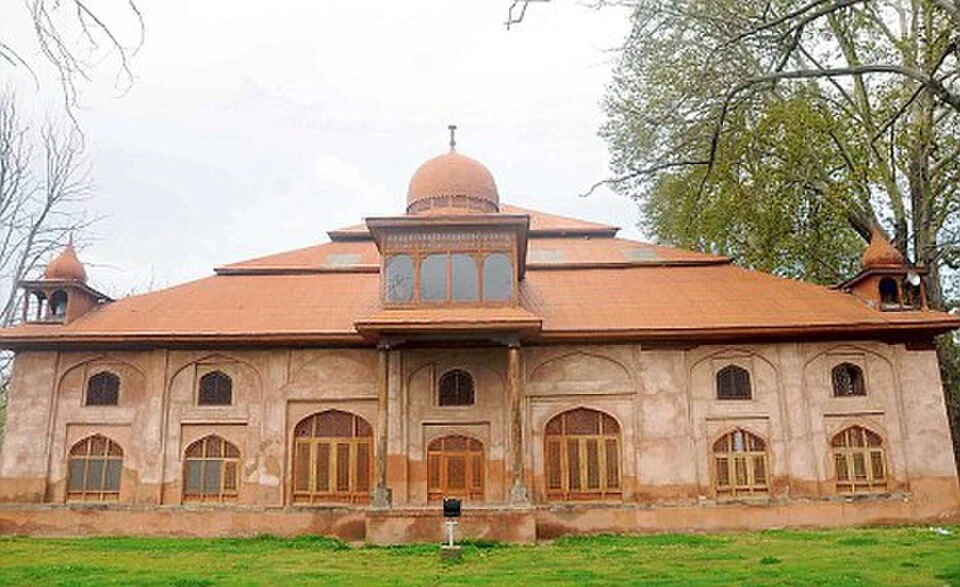
Aali Masjid: Open Ground and a Historic Srinagar Mosque
Aali Masjid, also written Ali Masjid, is a historic mosque in Srinagar's Eidgah area.
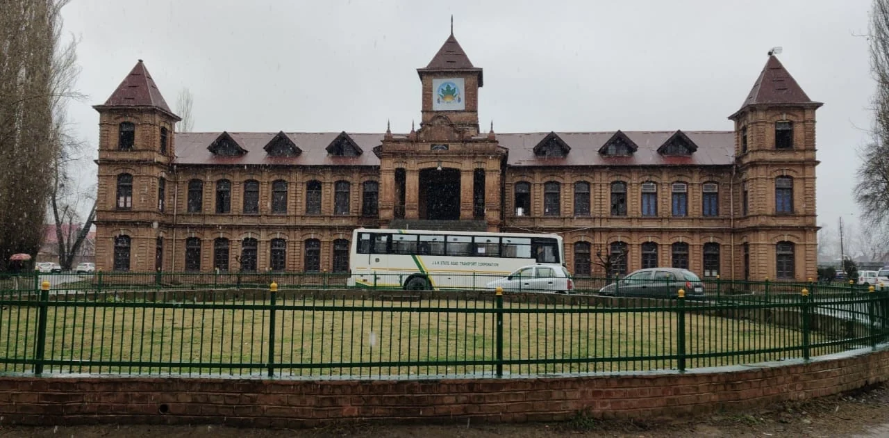
Amar Singh College: Education, Campus Heritage and Institutional Change
The growth of an educational institution from a technical institute, with campus conservation and academic resources.
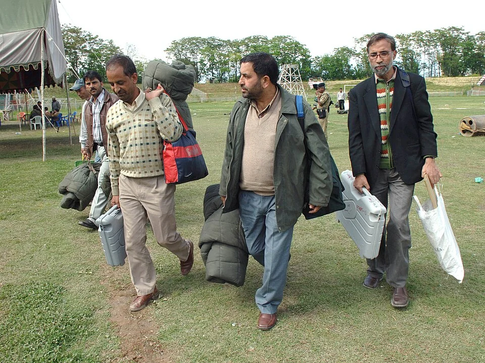
Bakshi Stadium: Football and a Public Sports Venue in Srinagar
Bakshi Stadium is a major sports venue in Srinagar, particularly associated with football.