
Ramban: Town, River and the Jammu–Kashmir Road Corridor
Ramban is a town and district headquarters beside the Chenab in the Jammu region. Its position on the Jammu–Srinagar road corridor makes the relationship between settlement, river and mountain transport central to its identity. The town and the much larger district share a name but should not share undifferentiated population or area figures.
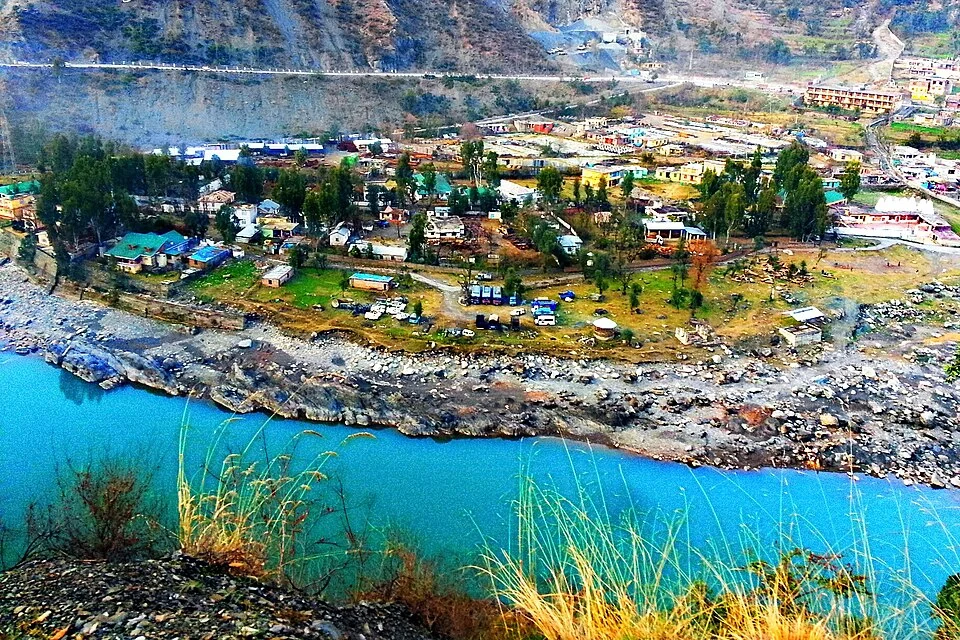
Ramban is a town and district headquarters beside the Chenab in the Jammu region. Its position on the Jammu–Srinagar road corridor makes the relationship between settlement, river and mountain transport central to its identity. The town and the much larger district share a name but should not share undifferentiated population or area figures.[1]
A river-side headquarters
The district's official export-action profile places Ramban headquarters along the Chenab and National Highway 44. Older descriptions use the former highway designation NH1A. Those names belong to different periods of the road's administrative labelling, rather than to two entirely unrelated corridors.[2]
The town's banks, crossing points and adjoining slopes can be understood through dated photographs. A river view shows how built ground meets the channel, while a district map adds settlements and routes outside the immediate town. Neither image alone establishes the current boundary of the urban area.
Town, road and district
Ramban's location explains why accounts frequently emphasise through-travel. The town is also a place of administration and everyday activity, which should not disappear behind the description of a highway stop. A complete profile can investigate streets, public institutions and the riverbank alongside the transport corridor.
The Census of India's Ramban handbook provides town and village information for the 2011 reference period. Census figures remain useful when their date and geographical unit are preserved. A district total should not be presented as the population of Ramban town.[3]
Road distances published in different accounts can vary with starting points and route changes. This entry avoids presenting an older distance as a guaranteed current journey time. Transport notices and actual road conditions supply the practical information for a particular date.
Read Chenab River, Baglihar and Banihal Railway Station for connected river and transport subjects in the wider district. Their links do not imply that each structure lies within the town's centre. The marker supplies Ramban-town orientation, not a municipal boundary, verified bus stand or public access point to the water. The image is a source-identified dated view at Ramban.
Image and map record
Image: Shoaib tantray111 via Wikimedia Commons. Licence: CC BY-SA 4.0. Recorded capture date: 2015-02-08 22:47:57. Resized and converted to WebP; image content unchanged. This is a dated view, not confirmation of the site’s present appearance.

Map marker: 33.25, 75.25. Source-recorded location for orientation; not a surveyed boundary, verified public entrance, current access guarantee or authorised stopping point. View location on OpenStreetMap · View Google Maps · Google directions · OpenStreetMap directions.
Research checked: 14 October 2026. For a visit, confirm current access, transport and opening information with the relevant authorities. This encyclopedia profile provides geographical and historical context.
Sources & references
[1] Reference overview: Ramban, Jammu and Kashmir
https://en.wikipedia.org/wiki/Ramban%2C_Jammu_and_Kashmir ↗
[2] JKTPO: Ramban district export-action profile
https://jktpo.jk.gov.in/files/ramban_Export_Action_plans.pdf ↗
[3] Census of India: Ramban district handbook, 2011
https://censusindia.gov.in/nada/index.php/catalog/522/study-description ↗
Image and licence
Related reading
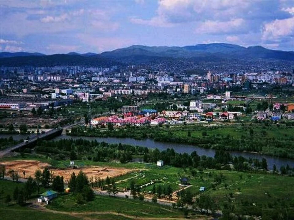
Anantnag: Town, Springs and Southern Kashmir
Anantnag is a major town and district headquarters in southern Kashmir. The name also refers to the surrounding district, so town history and district
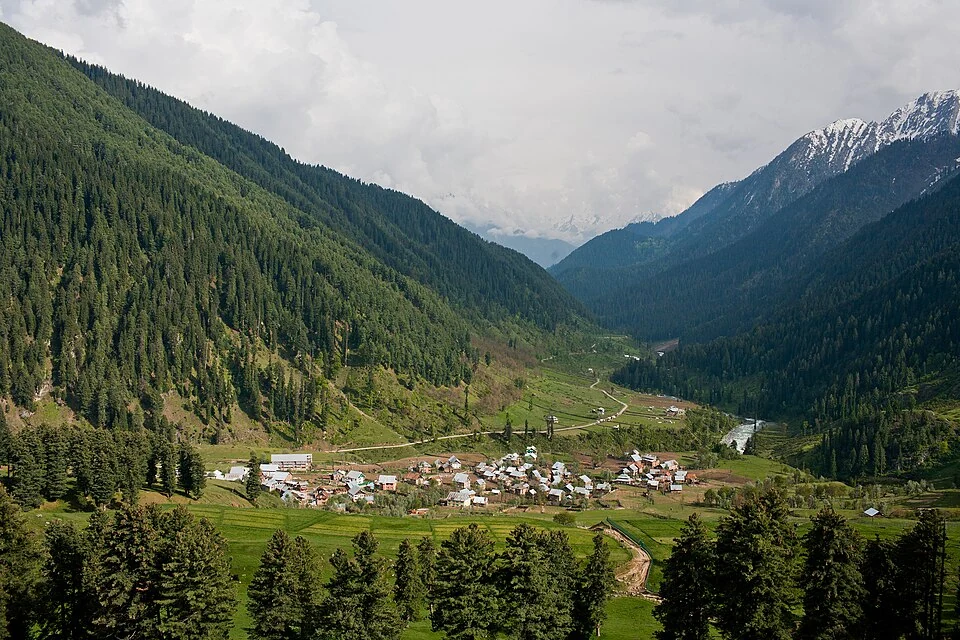
Aru: Village and Mountain Landscape above Pahalgam
Aru is a village and mountain visitor destination in Anantnag district, above the Pahalgam area. It is also known as Adav in Kashmiri. Meadows, settle
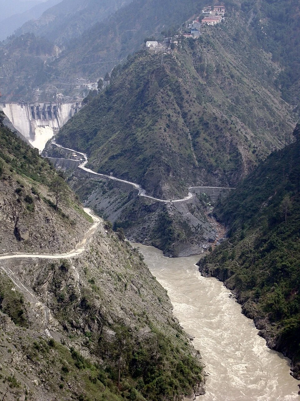
Baglihar: Hydropower and the Chenab at Chanderkote
Baglihar is a hydroelectric project on the Chenab at Chanderkote in Ramban district. Its dam, reservoir and generating works form an engineered landsc