
Salal: Hydropower and the Chenab in Reasi
Salal Hydroelectric Power Station is a Chenab-river project in Reasi district. The project includes dam and generating infrastructure and is operated by NHPC. Its name belongs in an account of the region's electricity infrastructure as well as in an account of the river landscape.
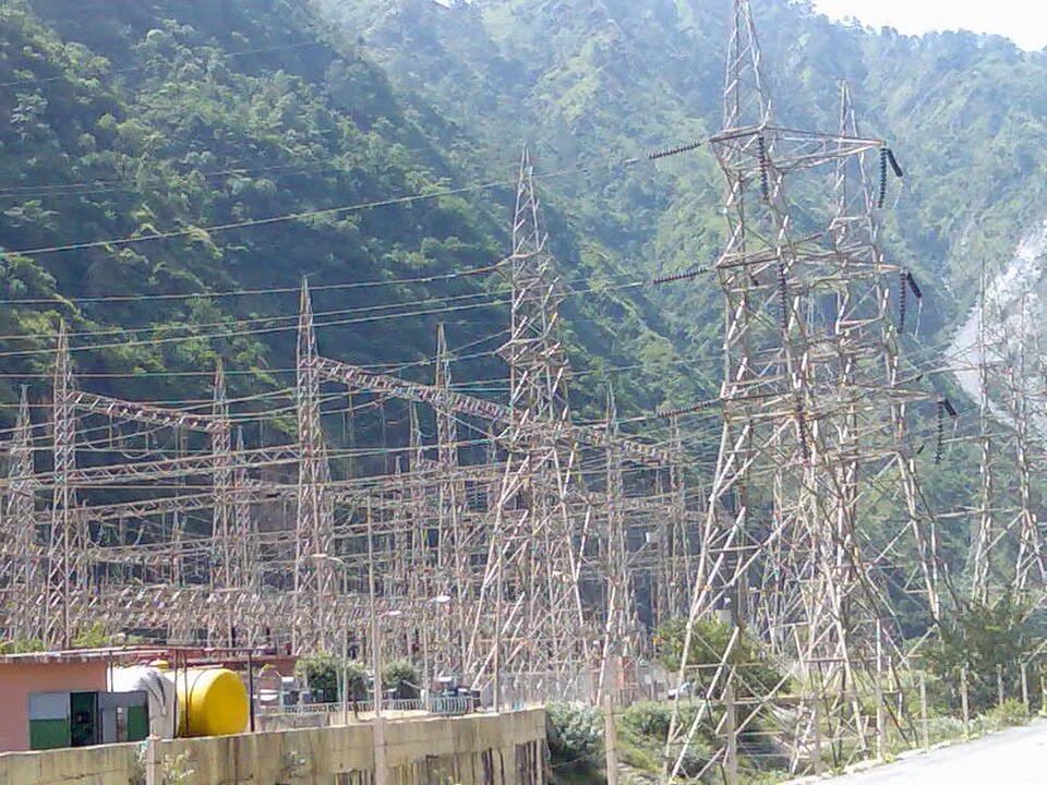
Salal Hydroelectric Power Station is a Chenab-river project in Reasi district. The project includes dam and generating infrastructure and is operated by NHPC. Its name belongs in an account of the region's electricity infrastructure as well as in an account of the river landscape.[1]
Capacity and development
NHPC lists Salal at 690 megawatts, comprising six units of 115 megawatts. The operator's records associate development with commissioning stages in 1987 and 1995. Those figures describe installed equipment and project chronology; daily generation is a different measurement requiring a dated operational record.[2]
Reference histories discuss the design and development of the project within earlier India–Pakistan water negotiations. A historical agreement should remain tied to its date. It does not, by itself, establish the current status of wider diplomatic arrangements or the condition of every component.[1]
River, structures and operation
The dam, reservoir, waterways and generating units serve connected purposes but are not identical subjects. A photograph of spillways or penstocks documents one part of the system. To understand the whole project, those views need to be related to a plan and an operator's description.
Sediment is an important consideration in mountain-river infrastructure. Describing that issue requires distinguishing deposited material, the movement of water and the condition of equipment. A visually clear reservoir does not prove the absence of sediment, and a dramatic water-release photograph does not reveal annual generating performance.
The surrounding landscape also contains settlements, roads and other institutions. An infrastructure profile can explain those geographical relationships without treating operational premises as an ordinary sightseeing park.
Read Chenab River, Baglihar and Bhimgarh Fort for connected river and Reasi subjects. Their functions and dates remain separate. The map provides orientation to the Salal project area rather than a verified public gate. Operational restrictions and any authorised visit arrangements must come from current management information, not from a general map service or an old image caption.
Image and map record
Image: Aryan wiki via Wikimedia Commons. Licence: CC BY-SA 3.0. Recorded capture date: 2012-01-29. Resized and converted to WebP; image content unchanged. This is a dated view, not confirmation of the site’s present appearance.

Map marker: 33.1425, 74.81027778. Source-recorded location for orientation; not a surveyed boundary, verified public entrance, current access guarantee or authorised stopping point. View location on OpenStreetMap · View Google Maps · Google directions · OpenStreetMap directions.
Research checked: 14 October 2026. For a visit, confirm current access, transport and opening information with the relevant authorities. This encyclopedia profile provides geographical and historical context.
Sources & references
[1] Reference overview: Salal Hydroelectric Power Station
https://en.wikipedia.org/wiki/Salal_Hydroelectric_Power_Station ↗
[2] NHPC: Salal power-station details
https://nhpcindia.com/welcome/project_detail/4/2/index.php ↗
Image and licence
https://commons.wikimedia.org/wiki/File:Salal_Power_Station.jpg ↗
Related reading
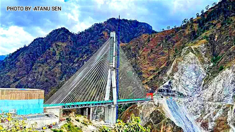
Anji Khad Bridge: Cable-stayed Railway Engineering in Reasi
The Anji Khad Bridge is a railway crossing in Reasi district, on the USBRL route between Katra and the Kashmir Valley.
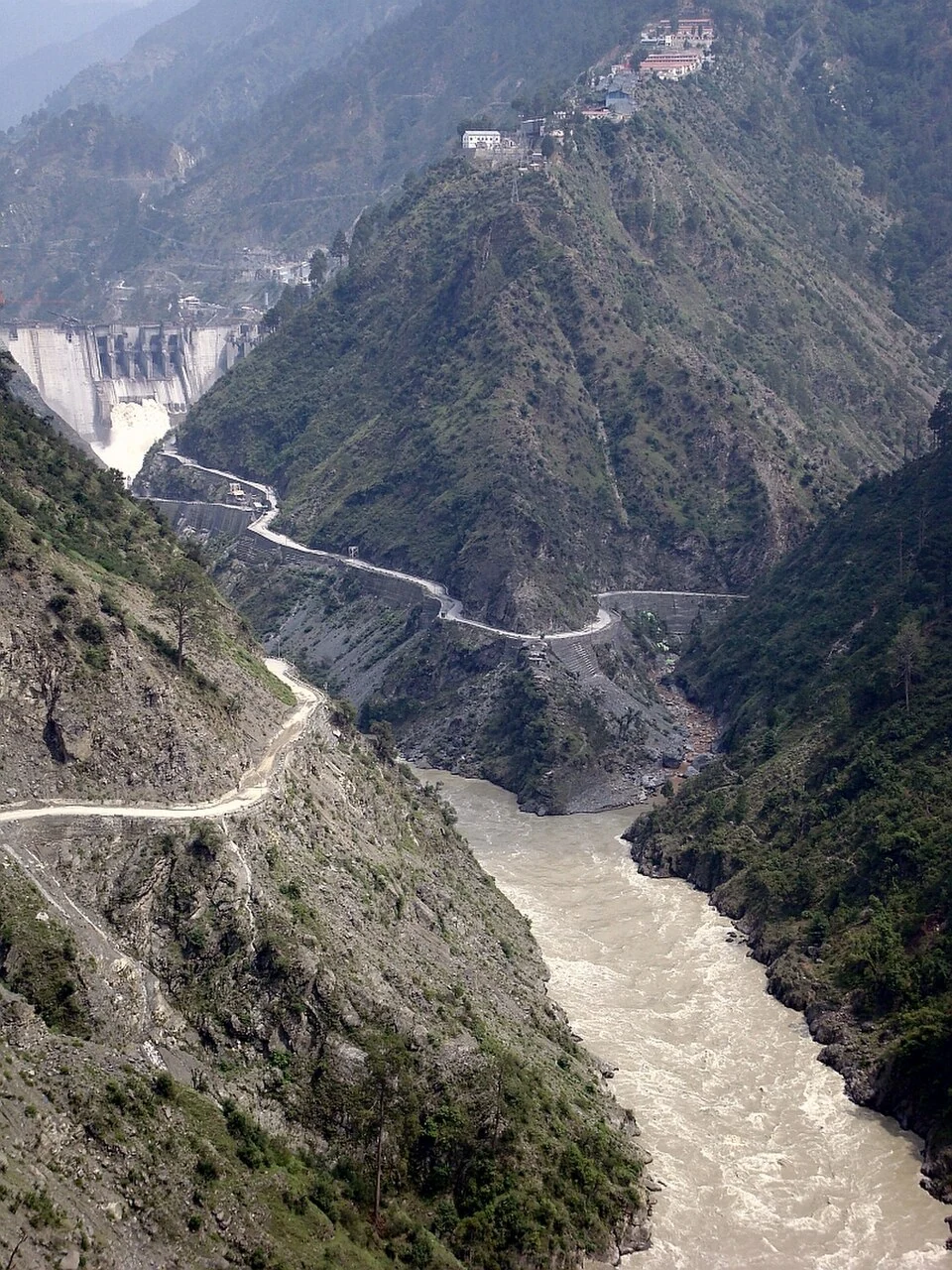
Baglihar: Hydropower and the Chenab at Chanderkote
Baglihar is a hydroelectric project on the Chenab at Chanderkote in Ramban district. Its dam, reservoir and generating works form an engineered landsc
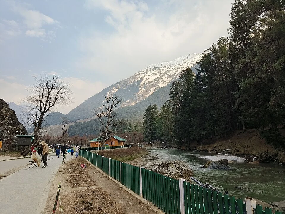
Betaab Valley: Film-associated Landscape near Pahalgam
Betaab Valley is a visitor landscape near Pahalgam in Anantnag district. It is also associated with the older names Hajan, Hagan or Hagoon in publishe