
Bhimgarh Fort: A Hilltop Landmark above Reasi
Bhimgarh Fort, also called Reasi Fort, is a hilltop monument above Reasi in the Jammu region. Its elevated position distinguishes it from forts arranged directly along a riverbank or within a dense city. The approach, fortified enclosure and views over surrounding ground form connected parts of its architectural setting.
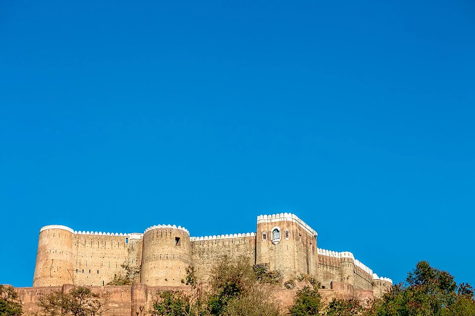
Bhimgarh Fort, also called Reasi Fort, is a hilltop monument above Reasi in the Jammu region. Its elevated position distinguishes it from forts arranged directly along a riverbank or within a dense city. The approach, fortified enclosure and views over surrounding ground form connected parts of its architectural setting.[1]
Construction and changing use
Accounts of the fort describe an early earthen construction followed by stone rebuilding and nineteenth-century work under Gulab Singh. The earliest founding stories should retain their status as historical or local traditions where the surviving evidence is incomplete. The visible complex is not necessarily the product of one uninterrupted building campaign.[1]
The Reasi administration identifies Bhimgarh among the district's landmarks. Its historical account connects the town with the earlier Bhimgarh polity. A former polity, the present town and the fort are related terms but describe different territorial and architectural scales.[2]
A fortified hill
Walls and a restricted entrance can make a hilltop more defensible, while the slope itself shapes movement around the site. Looking up from the town and looking out from the enclosure reveal different aspects of that relationship. A photograph of one gate cannot establish the condition of the entire perimeter.
Reference descriptions also record rooms and service spaces within the fort. Later use as storage or an armoury belongs to its institutional life, not just to the initial construction story. Changes in use can leave alterations that need to be distinguished from original defensive features.[1]
Read Gulab Singh for a associated ruler, Akhnoor Fort for a Chenab-side comparison and Anji Khad Bridge for a different structure responding to the region's steep terrain. These connections do not imply shared dates or purposes. The marker indicates the fort area, not a surveyed step-free entrance or confirmation that every internal space is open. Local management information takes precedence over a general directions service.
Image and map record
Image: Shubham Sharma via Wikimedia Commons. Licence: CC BY-SA 4.0. Recorded capture date: 2016-02-03 15:31:46. Resized and converted to WebP; image content unchanged. This is a dated view, not confirmation of the site’s present appearance.

Map marker: 33.08, 74.83. Source-recorded location for orientation; not a surveyed boundary, verified public entrance, current access guarantee or authorised stopping point. View location on OpenStreetMap · View Google Maps · Google directions · OpenStreetMap directions.
Research checked: 14 October 2026. For a visit, confirm current access, transport and opening information with the relevant authorities. This encyclopedia profile provides geographical and historical context.
Sources & references
[1] Reference overview: Bhimgarh Fort
https://en.wikipedia.org/wiki/Bhimgarh_Fort ↗
[2] Reasi administration: regional history
https://reasi.nic.in/history/ ↗
Image and licence
https://commons.wikimedia.org/wiki/File:Bhimgarh_Fort,_Reasi.jpg ↗
Related reading
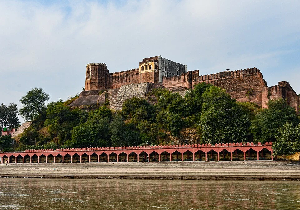
Akhnoor Fort: Built Heritage beside the Chenab
Akhnoor Fort stands beside the Chenab in Jammu district. Its fortified walls and palace spaces belong to the built history of Akhnoor, while the river
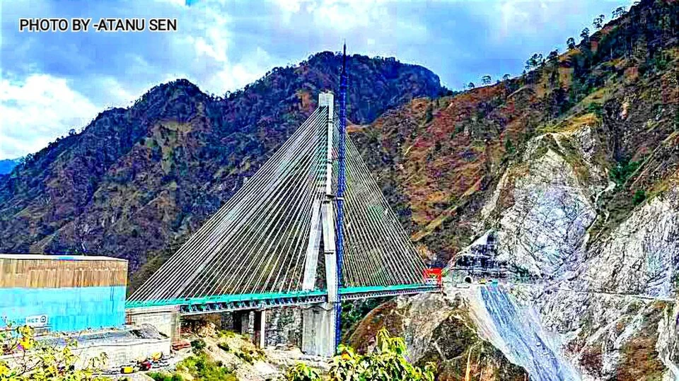
Anji Khad Bridge: Cable-stayed Railway Engineering in Reasi
The Anji Khad Bridge is a railway crossing in Reasi district, on the USBRL route between Katra and the Kashmir Valley.
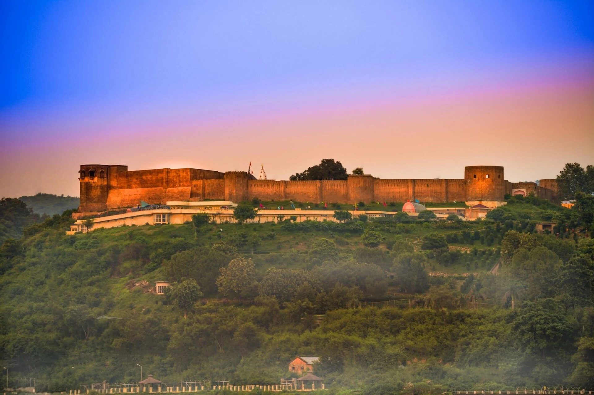
Bahu Fort: Jammu’s Riverside Fortification and Sacred Precinct
A fortified setting above the Tawi with a living Kali shrine and adjoining garden landscape.