
Tarsar Lake: Basin, Meadows and the Aru-side Mountains
Tarsar Lake is an alpine lake in the mountain landscape associated with Anantnag and the Aru-side walking routes. Published descriptions identify its characteristic elongated, almond-like outline. Its name often appears beside Marsar in trekking accounts, but the two lakes occupy separate basins and require distinct location records.
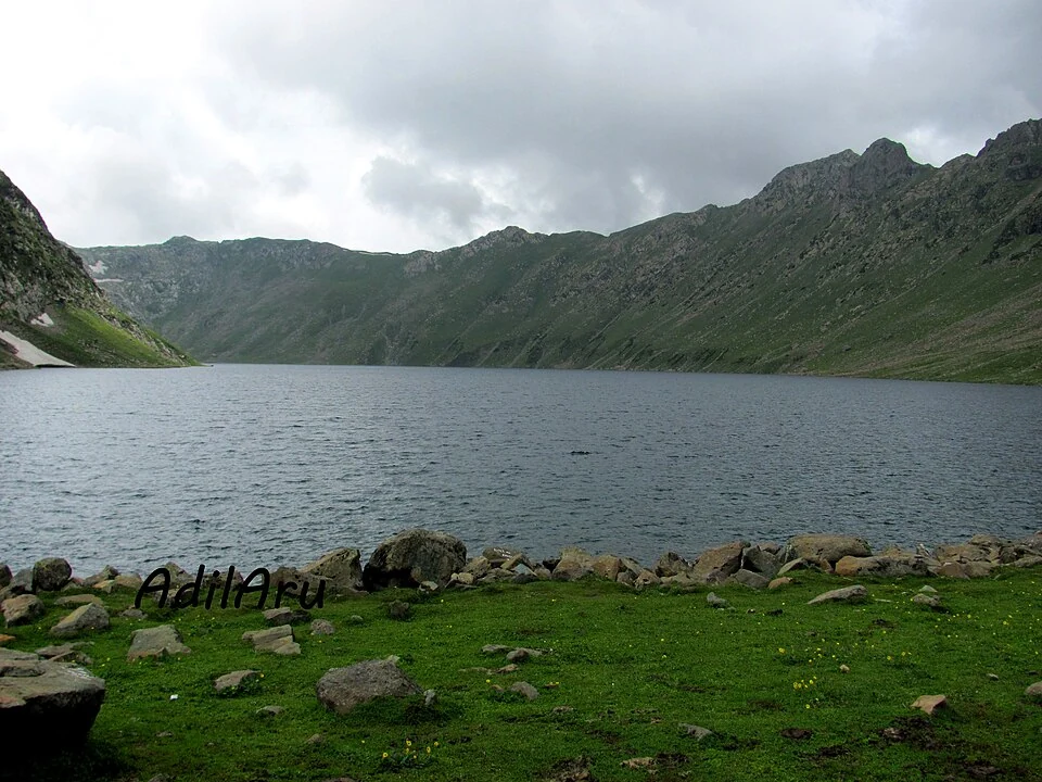
Tarsar Lake is an alpine lake in the mountain landscape associated with Anantnag and the Aru-side walking routes. Published descriptions identify its characteristic elongated, almond-like outline. Its name often appears beside Marsar in trekking accounts, but the two lakes occupy separate basins and require distinct location records. [1]
Basin and surrounding terrain
Accounts of Tarsar describe approaches through the Lidderwat and other mountain areas. These connections explain its place in the wider landscape without establishing that all approaches are equivalent or currently open. A source-recorded lake coordinate identifies the basin, not a complete route from a village or roadhead. [1]
A lake’s outline is useful for recognizing it in an image, but appearance alone is not sufficient identification. Camera angle, shoreline level and snow can change the visible shape. An accurate caption should rely on the source record rather than a guess based only on the waterbody’s silhouette.
Tarsar and Marsar
Calling two lakes a pair emphasizes their relationship in geography and walking itineraries. It does not mean that their water forms one continuous surface or that moving between them requires no elevation change. Separate entries allow each basin to retain its own physical identity while cross-links explain the connection.
The surrounding slopes are part of the lake’s catchment and visual setting. Meadows photographed beside the water may also be working or seasonally used landscapes. A scenic record cannot establish that every flat area is an authorized campsite or that visitors may use it without local arrangements.
Reading the approach
Compare Tarsar with Aru, Marsar and the Lidder-related entries to connect a mountain waterbody with settlements and drainage farther down the landscape. The map marker provides orientation to the lake and should not be interpreted as a verified trailhead. Road directions to a distant coordinate may end before the walking portion begins. The selected photograph retains its actual source and capture date. Current access, protected-area conditions and local route advice are required for a planned walk; the encyclopedia explains the named place rather than promising a fixed itinerary, duration or safe approach under all conditions.
Image and map record
Image: AdilAru via Wikimedia Commons. Licence: CC BY-SA 3.0. Recorded capture date: Taken on 28 July 2011. Resized and converted to WebP; image content unchanged. This is a dated view, not confirmation of the site’s present appearance.
Map marker: 34.14055556, 75.14833333. Source-recorded orientation point, not a surveyed boundary, verified visitor entrance, campsite or present access guarantee. View location on OpenStreetMap · View Google Maps · Google directions · OpenStreetMap directions.
Research checked: 15 October 2026. For a visit, confirm current access, transport and opening information with the relevant authorities. This encyclopedia profile provides geographical and historical context.
Sources & references
[1] Wikipedia: Tarsar Lake (secondary overview)
https://en.wikipedia.org/wiki/Tarsar_Lake ↗
Image and licence
Related reading
Achabal Garden: Spring-fed Terraces and Mughal Design
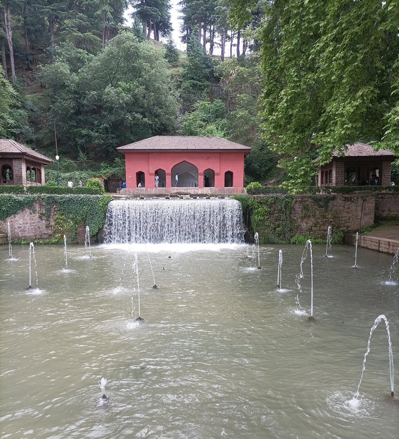
Achabal Garden is a Mughal garden in Anantnag district, arranged around a spring at the foot of a hill.
Anantnag Railway Station: Rail Access in Southern Kashmir
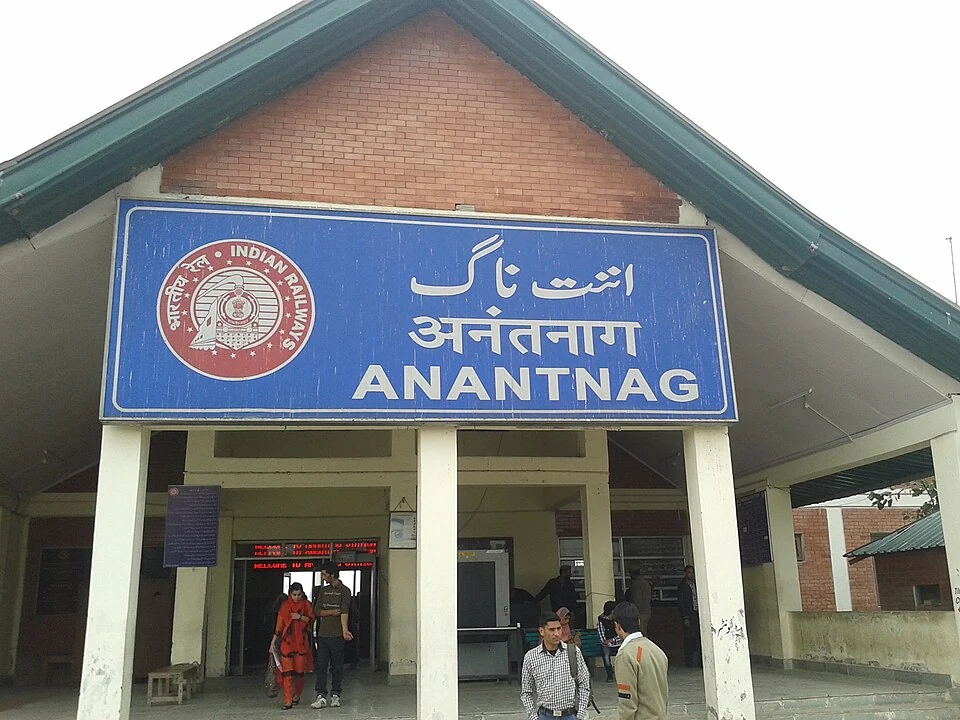
Anantnag railway station is a rail access point for southern Kashmir. It serves the Anantnag area within the Kashmir Valley corridor and is identified
Anantnag: Town, Springs and Southern Kashmir
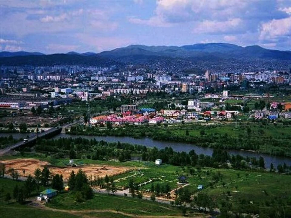
Anantnag is a major town and district headquarters in southern Kashmir. The name also refers to the surrounding district, so town history and district