
Tawi River: Jammu’s River and Its Mountain Catchment
The Tawi is a major river of the Jammu region and a tributary of the Chenab. Its course through Jammu city gives the river a prominent urban identity, but the watercourse also belongs to a mountain catchment and a wider drainage network. The city reach is one part of the river, not its entire extent.
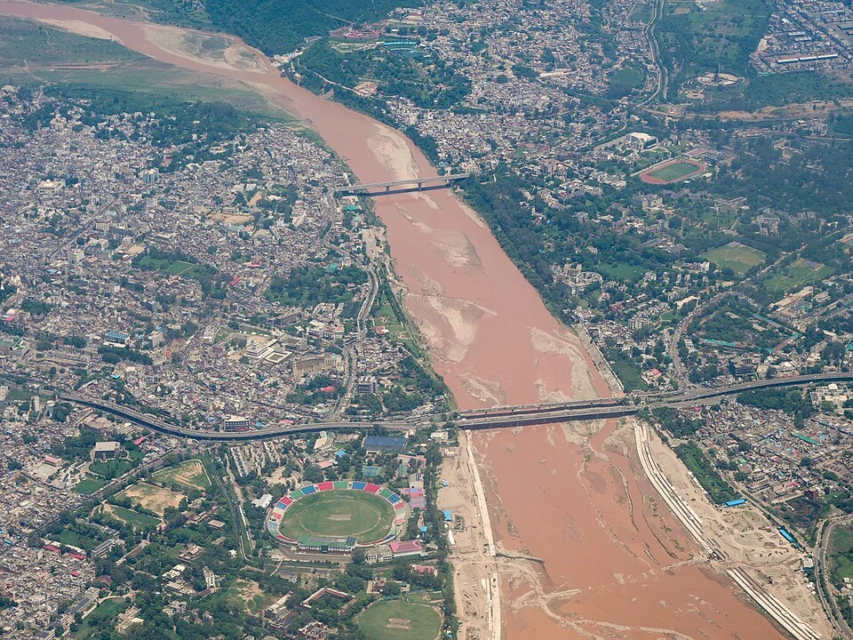
The Tawi is a major river of the Jammu region and a tributary of the Chenab. Its course through Jammu city gives the river a prominent urban identity, but the watercourse also belongs to a mountain catchment and a wider drainage network. The city reach is one part of the river, not its entire extent.[1]
River and city
Jammu's official historical account places the city on elevated ground beside the Tawi. Riverbanks, bridges and the contrasting levels of built ground help explain the city's landscape. A bridge photograph can show connections across the channel without identifying the hydrological conditions of the whole basin.[2]
The Tawi's relationship with the Chenab links it to the larger Indus drainage system. Rivers and administrative boundaries describe different kinds of geography. A district filter helps organise this encyclopedia, while a catchment follows the land draining into the watercourse.[1]
Channel and changing water
A river photograph records one moment. Water level, exposed sediment and the visible width of the channel can vary with season and flow. Measurements of flood level or discharge need a date, an observation location and a method; they cannot be inferred reliably from the size of a river in one image.
Urban river accounts can also separate the channel, floodplain, embankments and adjoining neighbourhoods. These features have different functions and may change at different rates. A road bridge supplies a crossing, whereas access to the water's edge involves separate arrangements.
The Tawi is also part of Jammu's cultural imagery. Its appearance in photographs and descriptions can be studied alongside practical questions of drainage and city development. A familiar river name does not remove the need to identify the particular reach being discussed.
Read Mubarak Mandi for a palace overlooking the river, Bahu Fort for another bank-side landmark and Chenab River for the receiving river system. The map marks the Jammu-city reach rather than the Tawi's source, mouth or complete course. Directions lead to an orientation point and do not establish a public riverbank path or a current water-level advisory.
Image and map record
Image: Timothy A. Gonsalves via Wikimedia Commons. Licence: CC BY-SA 4.0. Recorded capture date: 2024-07-13 13:22:02. Resized and converted to WebP; image content unchanged. This is a dated view, not confirmation of the site’s present appearance.

Map marker: 32.733, 74.867. Labelled representative town/valley context marker, not the full river course, its source or mouth, a wildlife-park boundary, a verified entrance or an authorised riverbank viewpoint. View location on OpenStreetMap · View Google Maps · Google directions · OpenStreetMap directions.
Research checked: 14 October 2026. For a visit, confirm current access, transport and opening information with the relevant authorities. This encyclopedia profile provides geographical and historical context.
Sources & references
[1] Reference overview: Tawi River
https://en.wikipedia.org/wiki/Tawi_River ↗
[2] Jammu administration: city and Tawi setting
https://jammu.nic.in/history/ ↗
Image and licence
https://commons.wikimedia.org/wiki/File:Tawi_Bridges_River_Jammu_Aerial_Jul24_A7CR_01909.jpg ↗
Related reading
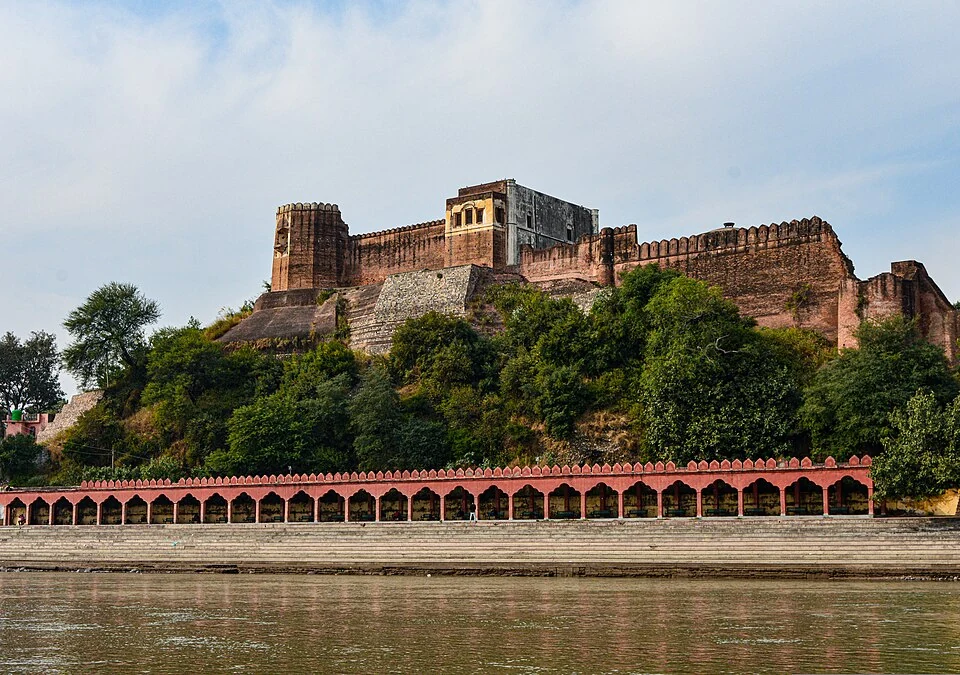
Akhnoor Fort: Built Heritage beside the Chenab
Akhnoor Fort stands beside the Chenab in Jammu district. Its fortified walls and palace spaces belong to the built history of Akhnoor, while the river
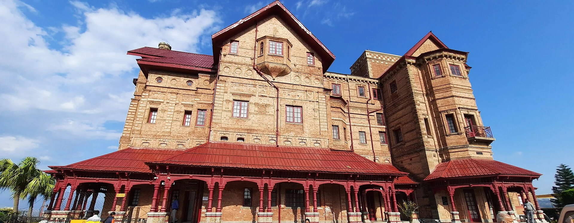
Amar Mahal: Palace Architecture and a Museum in Jammu
A nineteenth-century palace’s architecture, differing published dates and later role as a public museum.
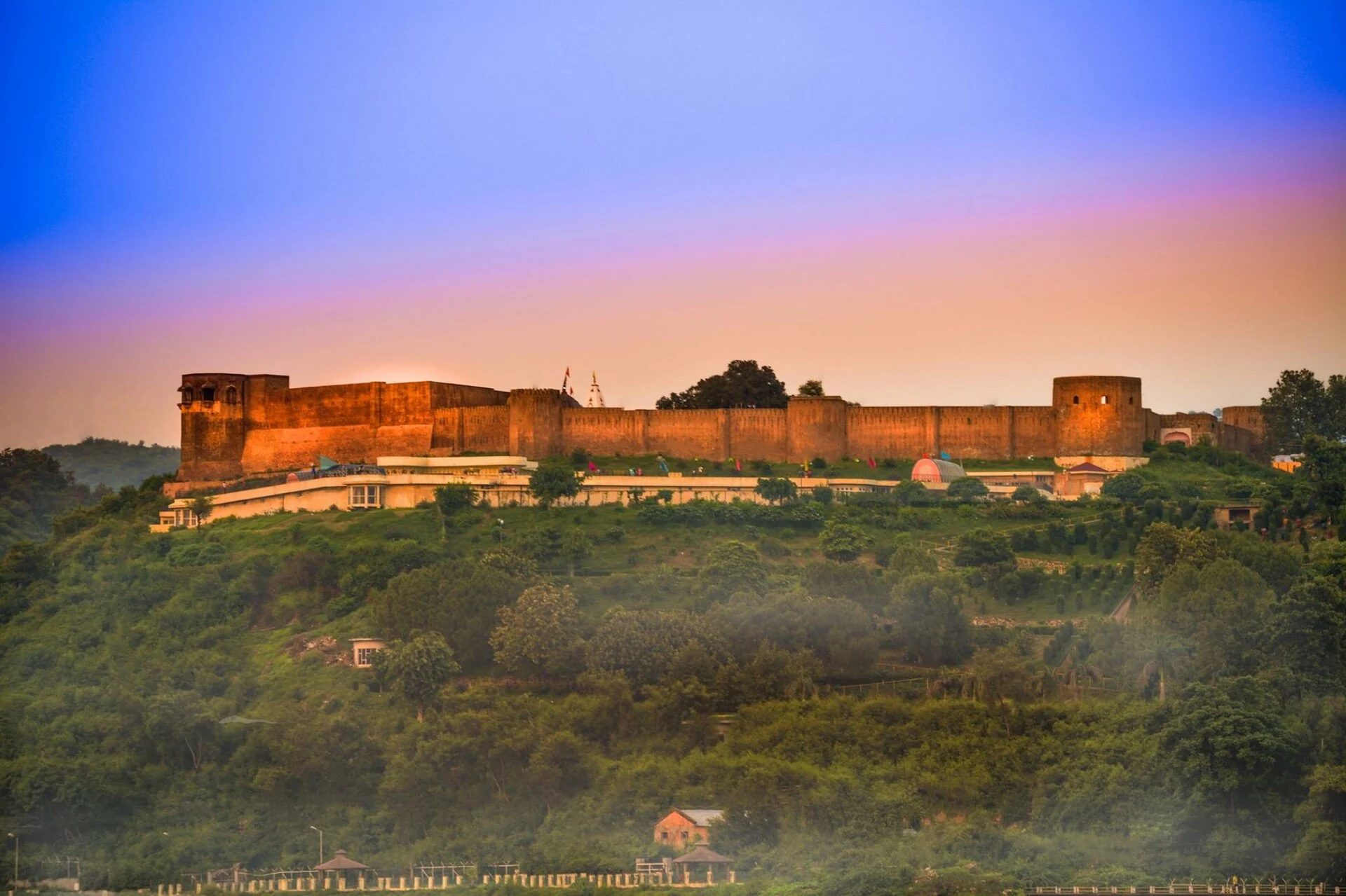
Bahu Fort: Jammu’s Riverside Fortification and Sacred Precinct
A fortified setting above the Tawi with a living Kali shrine and adjoining garden landscape.