
Akhnoor Fort: Built Heritage beside the Chenab
Akhnoor Fort stands beside the Chenab in Jammu district. Its fortified walls and palace spaces belong to the built history of Akhnoor, while the riverbank connects the monument to a wider landscape of settlement and political ceremony. The fort and earlier archaeological occupation of the area are different chronological subjects.
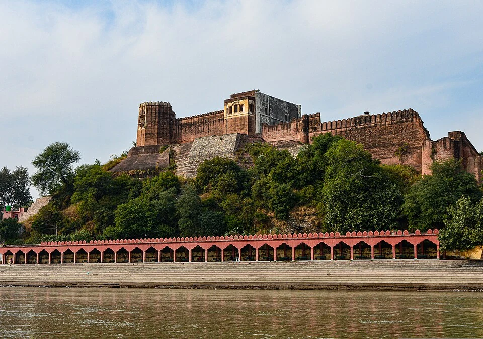
Akhnoor Fort stands beside the Chenab in Jammu district. Its fortified walls and palace spaces belong to the built history of Akhnoor, while the riverbank connects the monument to a wider landscape of settlement and political ceremony. The fort and earlier archaeological occupation of the area are different chronological subjects.[1]
Construction and riverbank setting
The Jammu administration dates the beginning of construction to 1762 under Raja Tegh Singh and its completion to 1802 under Raja Alam Singh. Other short accounts give different names for the completing ruler. This entry follows the district account and retains its attribution rather than combining inconsistent versions.[2]
Reference descriptions identify substantial walls, bastions, corner towers and an internal separation between fortified and palace areas. These features help explain how controlled access and residence could share one complex. A view from the river shows a different relationship between walls and ground from a view inside a courtyard.[1]
Historical associations
The nearby Jia Pota riverbank is associated with Gulab Singh's coronation as Raja of Jammu in 1822. The ceremonial location and the whole fort should not be treated as exactly the same point. A precise event account needs its own source and location description.[1]
Archaeological material from the wider Akhnoor area does not make every standing wall an ancient structure of the same date. Construction, earlier settlement and later repair leave different kinds of evidence. Keeping those phases separate avoids giving a fort an implausibly uniform age.
Read Gulab Singh for the ruler's biography and Chenab River for the watercourse. Bhimgarh Fort offers a hilltop comparison. Forts can serve related political purposes while responding to different terrain. The marker provides site orientation and does not identify a currently authorised riverbank approach, open gate or accessible route through every part of the monument. Current entry arrangements require a dated local source.
Image and map record
Image: Illyas Ahmed via Wikimedia Commons. Licence: CC BY-SA 4.0. Recorded capture date: 2018-11-10 02:09:33. Resized and converted to WebP; image content unchanged. This is a dated view, not confirmation of the site’s present appearance.

Map marker: 32.8963, 74.7407. Source-recorded location for orientation; not a surveyed boundary, verified public entrance, current access guarantee or authorised stopping point. View location on OpenStreetMap · View Google Maps · Google directions · OpenStreetMap directions.
Research checked: 14 October 2026. For a visit, confirm current access, transport and opening information with the relevant authorities. This encyclopedia profile provides geographical and historical context.
Sources & references
[1] Reference overview: Akhnoor Fort
https://en.wikipedia.org/wiki/Akhnoor_Fort ↗
[2] Jammu administration: Akhnoor Fort
https://jammu.nic.in/tourist-place/akhnoor-fort/ ↗
Image and licence
https://commons.wikimedia.org/wiki/File:Akhnoor_Fort_-_Jammu_-_Jammu_and_Kashmir_-_DSC_0001.jpg ↗
Related reading
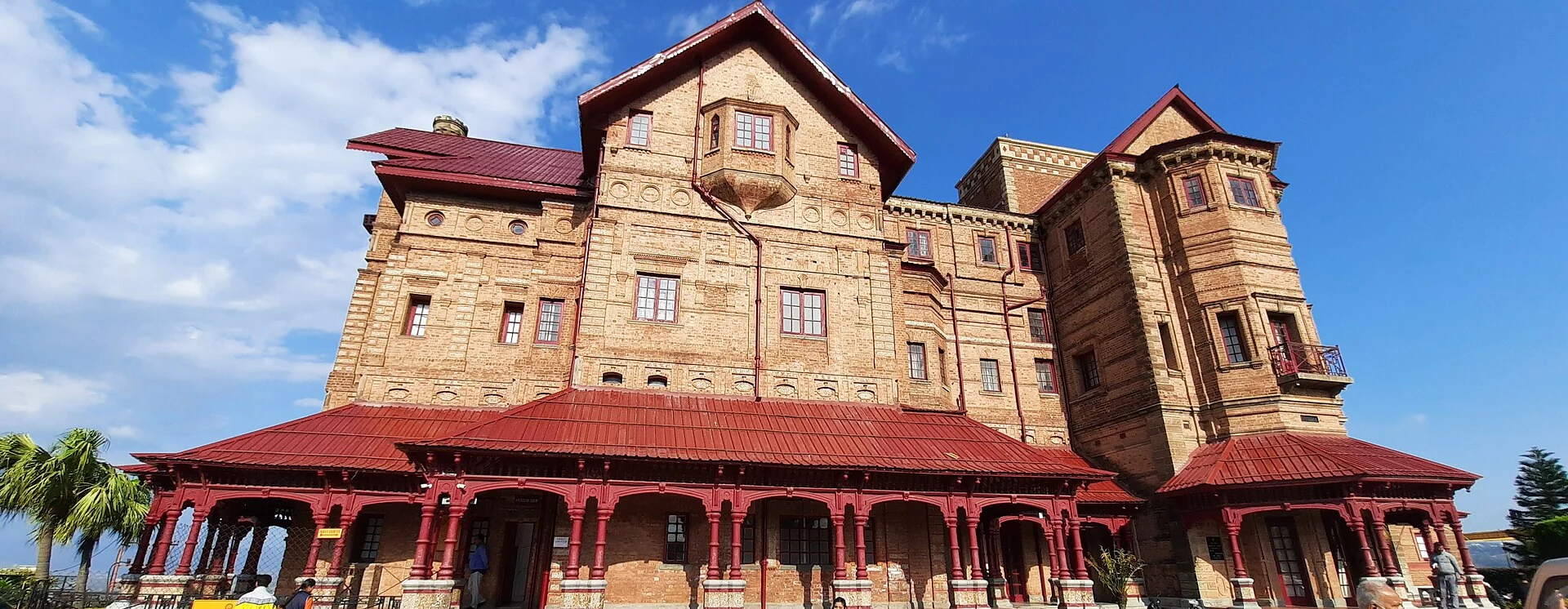
Amar Mahal: Palace Architecture and a Museum in Jammu
A nineteenth-century palace’s architecture, differing published dates and later role as a public museum.
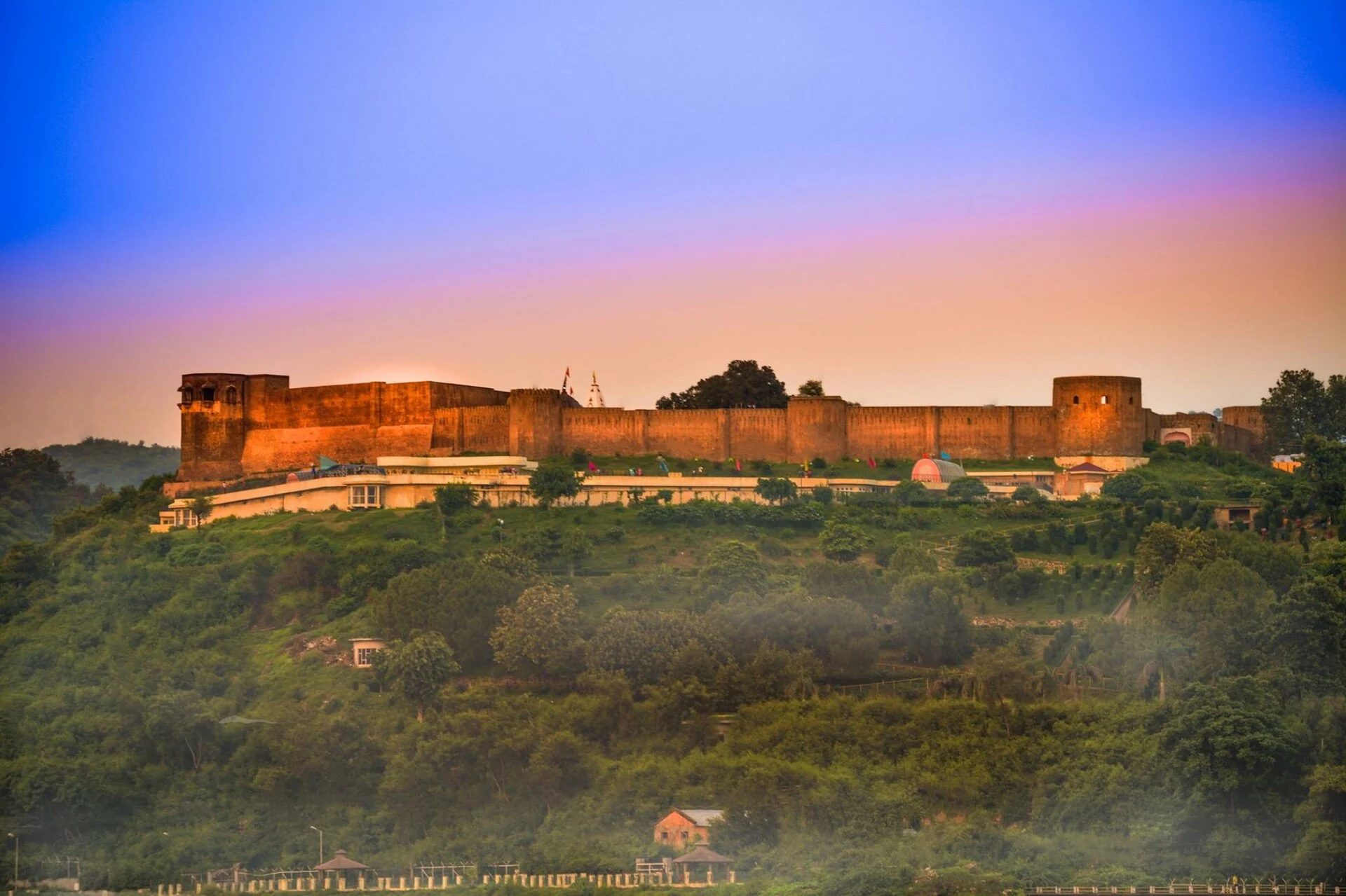
Bahu Fort: Jammu’s Riverside Fortification and Sacred Precinct
A fortified setting above the Tawi with a living Kali shrine and adjoining garden landscape.
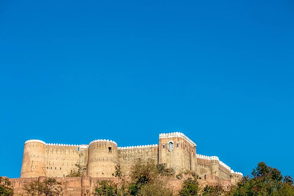
Bhimgarh Fort: A Hilltop Landmark above Reasi
Bhimgarh Fort, also called Reasi Fort, is a hilltop monument above Reasi in the Jammu region. Its elevated position distinguishes it from forts arrang