
Bahu Fort: Jammu’s Riverside Fortification and Sacred Precinct
A fortified setting above the Tawi with a living Kali shrine and adjoining garden landscape.
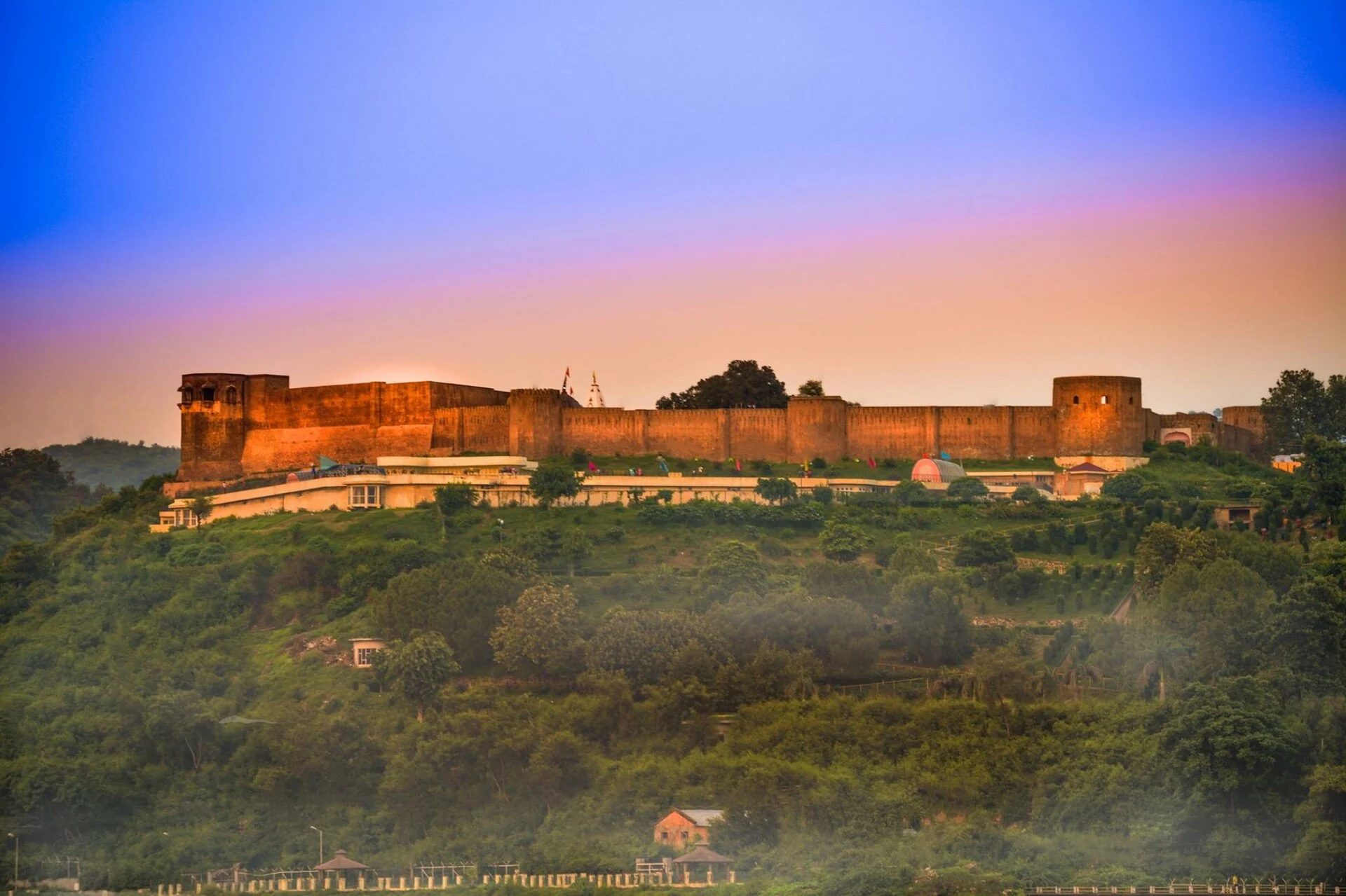
Bahu Fort stands above the Tawi River in Jammu, combining a fortified hill setting with a major temple precinct. The district administration places it on the river’s left bank and identifies the Kali temple within the enclosure, commonly known as Bawe Wali Mata or Bave Wali Mata. Fort, temple and adjoining garden are distinct features encountered in the same landscape.[1]
Tradition and surviving fabric
Local historical tradition associates the original fort with Raja Bahu Lochan and gives it a very early origin. The district account repeats that tradition while also describing substantial changes under Dogra rulers. An ancient foundation story is not an independently established date for every surviving wall. The visible complex has to be understood through rebuilding and use as well as remembered origins.[1]
The secondary account describes fortifications, bastions and enclosed spaces and connects later reconstruction with the Dogra period. These architectural features distinguish a defended enclosure from an ordinary palace facade. Their arrangement responds to the site’s elevated position and the need to control approaches, even where today’s visitor experiences the complex chiefly through religious or recreational use.[2]
A temple within the fort
The Kali shrine gives the site a devotional purpose alongside its defensive history. The district identifies recurring pilgrimage activity and the temple’s familiar regional name. Religious observances and the fort’s historical chronology should be described separately: the presence of a functioning shrine does not make every surrounding structure a temple, while the word “fort” does not exhaust the significance of the place.[1]
The secondary description connects the temple with Bagh-e-Bahu and the wider riverside setting. The garden is an adjoining designed landscape rather than the original reason for every fortification. Walking through planted grounds, attending worship and examining defensive masonry are different experiences supported by neighbouring parts of the ensemble.[2]
The Tawi and the urban view
The photograph shows the fort illuminated above wooded ground. It is a particular evening view, not evidence of the site’s appearance under all lighting conditions. The strong outline of the walls illustrates how the enclosure occupies raised terrain. From an architectural perspective, that relationship to height is as important as decorative detail on an individual surface.
The fort’s riverside position connects it with Jammu’s urban geography. A river can provide a visual foreground, a route through the city and a boundary between different areas of settlement. The temple and fort sit within that living city rather than in a wholly separate historical landscape.
The representative marker locates the fort complex. It is not a guarantee that every perimeter route or interior space is available to visitors. Current opening and worship arrangements belong to the managing institutions, and the dated image should not be used as a substitute for those notices.
Read Raghunath Temple for another devotional institution in Jammu and Amar Mahal for a different relationship between royal building and public use. Compare Hari Parbat and Poonch Fort for fortification in other regional settings.
Photograph and map record
Photograph: Vedant Sharma via Wikimedia Commons. Licence: CC BY-SA 4.0. Recorded capture date: 2017-07-26. Resized and converted to WebP; scene content unchanged. This is a dated view, not confirmation of the site’s present appearance.

Map marker: 32.7261, 74.8803. Secondary monument coordinate; representative fort point, not a specific entrance. View location on OpenStreetMap · View Google Maps · Google directions · OpenStreetMap directions.
Research checked: 14 October 2026. For a visit, confirm current access, transport and opening information with the relevant authorities. This encyclopedia profile provides geographical and historical context.
Sources & references
[1] Primary place or institutional account
https://jammu.nic.in/tourist-place/bahu-fort-jammu/ ↗
[2] Secondary historical and geographical reference
https://en.wikipedia.org/wiki/Bahu_Fort ↗
Photograph and licence
https://commons.wikimedia.org/wiki/File:Bahu_Fort,_Jammu.jpg ↗
Related reading
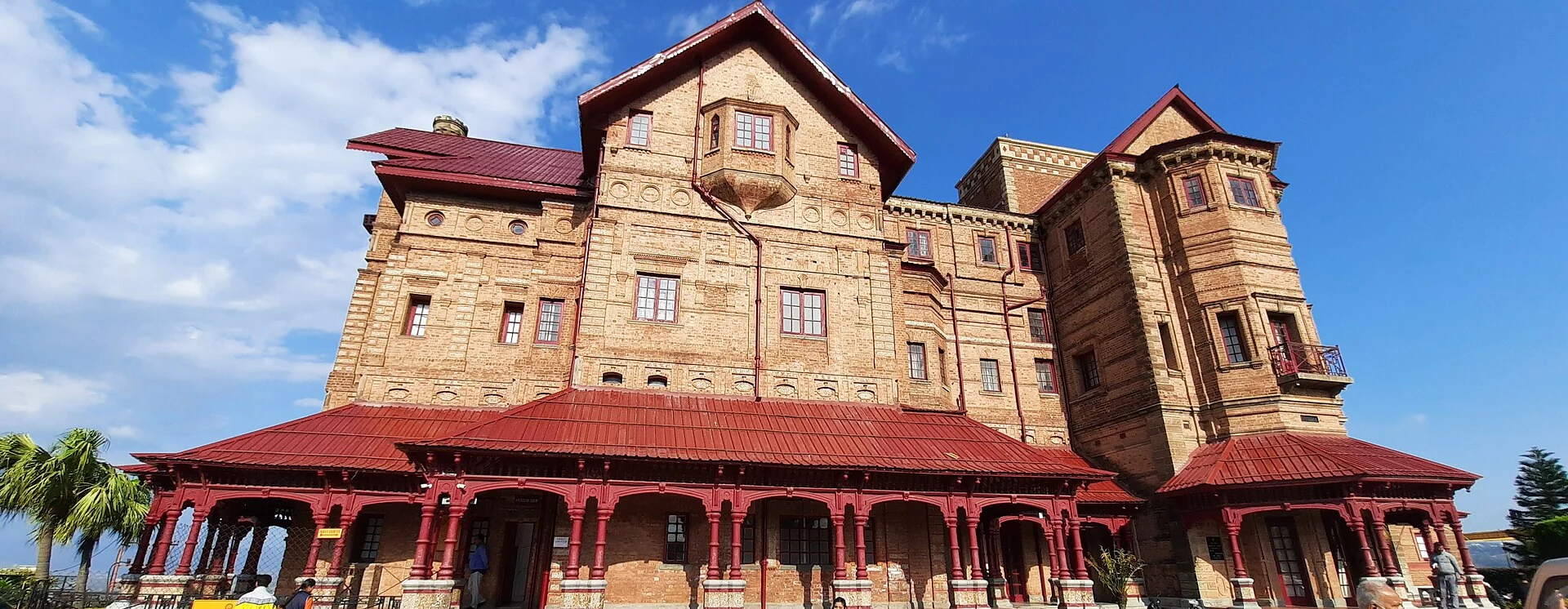
Amar Mahal: Palace Architecture and a Museum in Jammu
A nineteenth-century palace’s architecture, differing published dates and later role as a public museum.
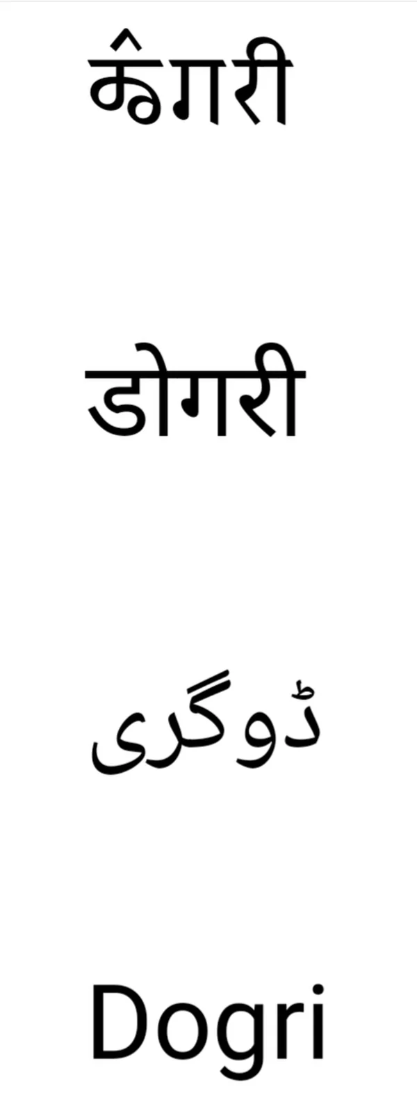
Dogri: Language and Literary Life in the Jammu Region
Dogri is an Indo-Aryan language associated especially with the Jammu region.
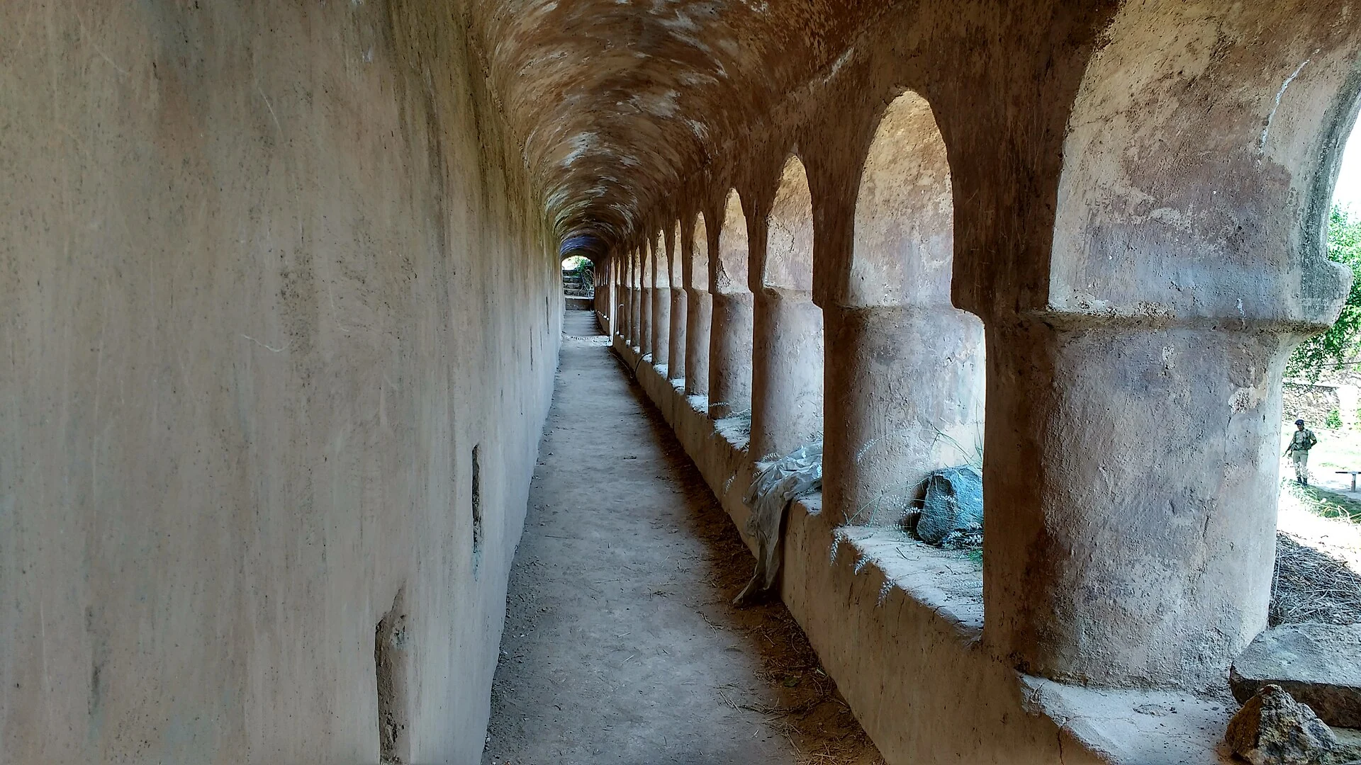
Hari Parbat Fort: Hill, Fortification and the Old City
The distinction between Hari Parbat’s outer wall, summit fort and neighbouring sacred institutions.
Referenced by
- Hari Parbat Fort: Hill, Fortification and the Old City
- Amar Mahal: Palace Architecture and a Museum in Jammu
- Shiv Khori: Cave Shrine and Pilgrimage around Ransoo
- Poonch Fort: Architecture and the History of a Hill Town
- Jammu Tawi Railway Station: A Gateway to the Jammu Region
- Jammu Airport: Civil Aviation in the Tawi Plain