
Yusmarg: Meadows, Forests and a Budgam Mountain Landscape
Yusmarg, also written Yousmarg, is a meadow and mountain destination in Budgam district.
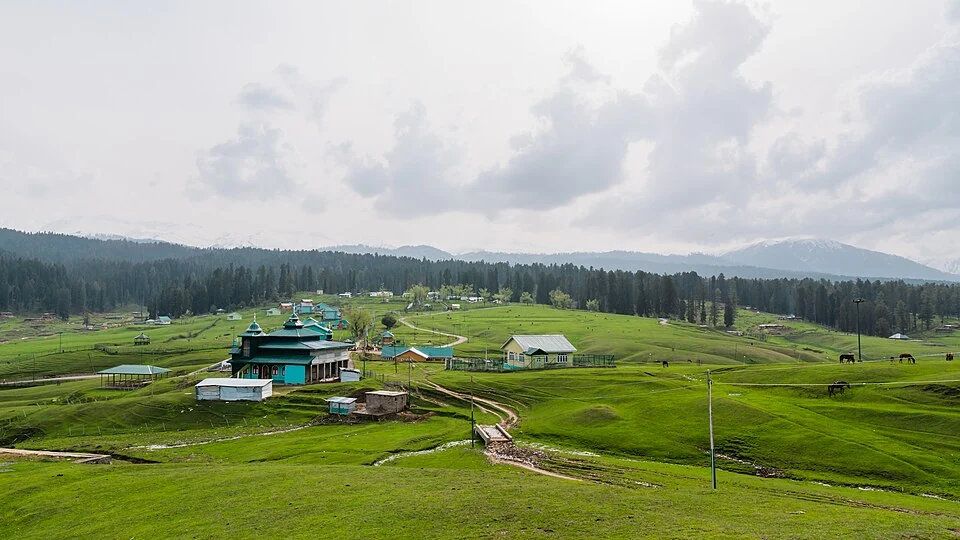
Yusmarg, also written Yousmarg, is a meadow and mountain destination in Budgam district. Grassland, wooded slopes and nearby streams form its characteristic setting. The name can refer to the visitor area and the broader landscape rather than a tightly defined urban settlement, so a point on a map should not be treated as its complete boundary.[1]
Meadow, forest and water
The Budgam administration describes Yusmarg through its green pastures and natural setting. The imagery of an open meadow is important, but a landscape also contains trees, watercourses and ground used in different ways. A photograph of grazing animals documents one activity rather than proving that the whole area has a single land-use pattern.[2]
Popular explanations associate the name with “Meadows of Jesus.” Such naming traditions should be identified as interpretations and local stories, not used as independent proof of a historical visit. Place-name meaning and a securely documented event are different kinds of claim.[1]
A destination within Budgam
Recreation and working uses can coexist in the meadow landscape. Seasonal movement, grazing and visitor facilities should be recorded through the actual place and period rather than assumed from a promotional image. The description “natural” does not mean that no one uses or manages the ground.
Routes to Yusmarg and paths within the area also answer different questions. A motorable approach does not establish the condition of every walking trail. Current opening status, transport and permitted activity should be checked with local information rather than inferred from an older account calling the destination easily accessible.
Compare Doodhpathri for another Budgam meadow setting and Charar-e-Sharief for a separate religious town in the district. Gulmarg provides a contrasting highland recreation context. These relationships help locate the place without presenting all upland destinations as equivalent landscapes or interchangeable day trips.
Seasonal views can differ markedly, which is why source dates remain important when photographs are used to describe the landscape.
Photograph and map record
Photograph: Suhail Skindar Sofi via Wikimedia Commons. Licence: CC BY-SA 4.0. Recorded capture date: 2019-04-27 16:33:19. Resized and converted to WebP; scene content unchanged. This is a dated view, not confirmation of the site’s present appearance.

Map marker: 33.82139, 74.66766. OpenStreetMap-based locality marker, correcting the broad longitude in the secondary article; not a surveyed meadow boundary or verified visitor entrance. View location on OpenStreetMap · View Google Maps · Google directions · OpenStreetMap directions.
Research checked: 14 October 2026. For a visit, confirm current access, transport and opening information with the relevant authorities. This encyclopedia profile provides geographical and historical context.
Sources & references
[1] Yusmarg — secondary historical/geographical overview
https://en.wikipedia.org/wiki/Yusmarg ↗
[2] Budgam district: Yusmarg landscape
https://budgam.nic.in/tourist-place/yusmarg/ ↗
[3] OpenStreetMap-based Yusmarg locality location record
https://mapcarta.com/N6724029317 ↗
Photograph and licence
Related reading
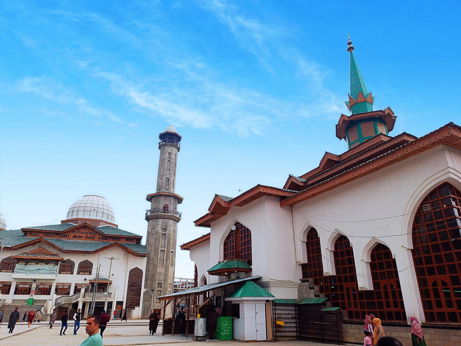
Charar-e-Sharief: Nund Rishi, Memory and a Living Shrine
Nund Rishi’s remembered teaching, the shrine’s rebuilding and continuing devotion within Budgam.
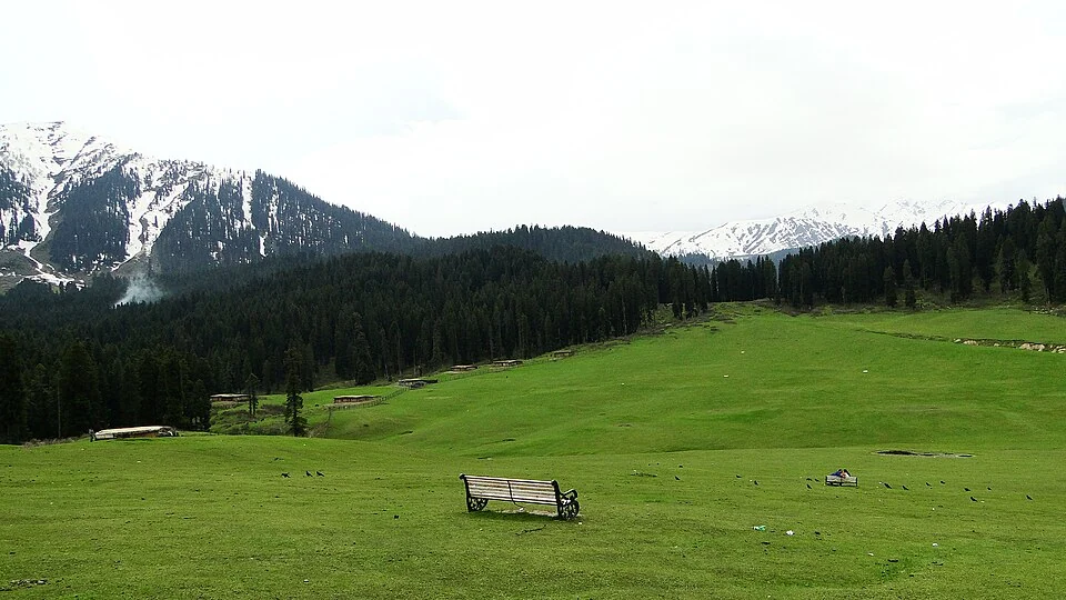
Doodhpathri: Meadow, Streams and the Budgam Uplands
Doodhpathri is a meadow destination in Budgam district's Khansahib area, in the Pir Panjal uplands.
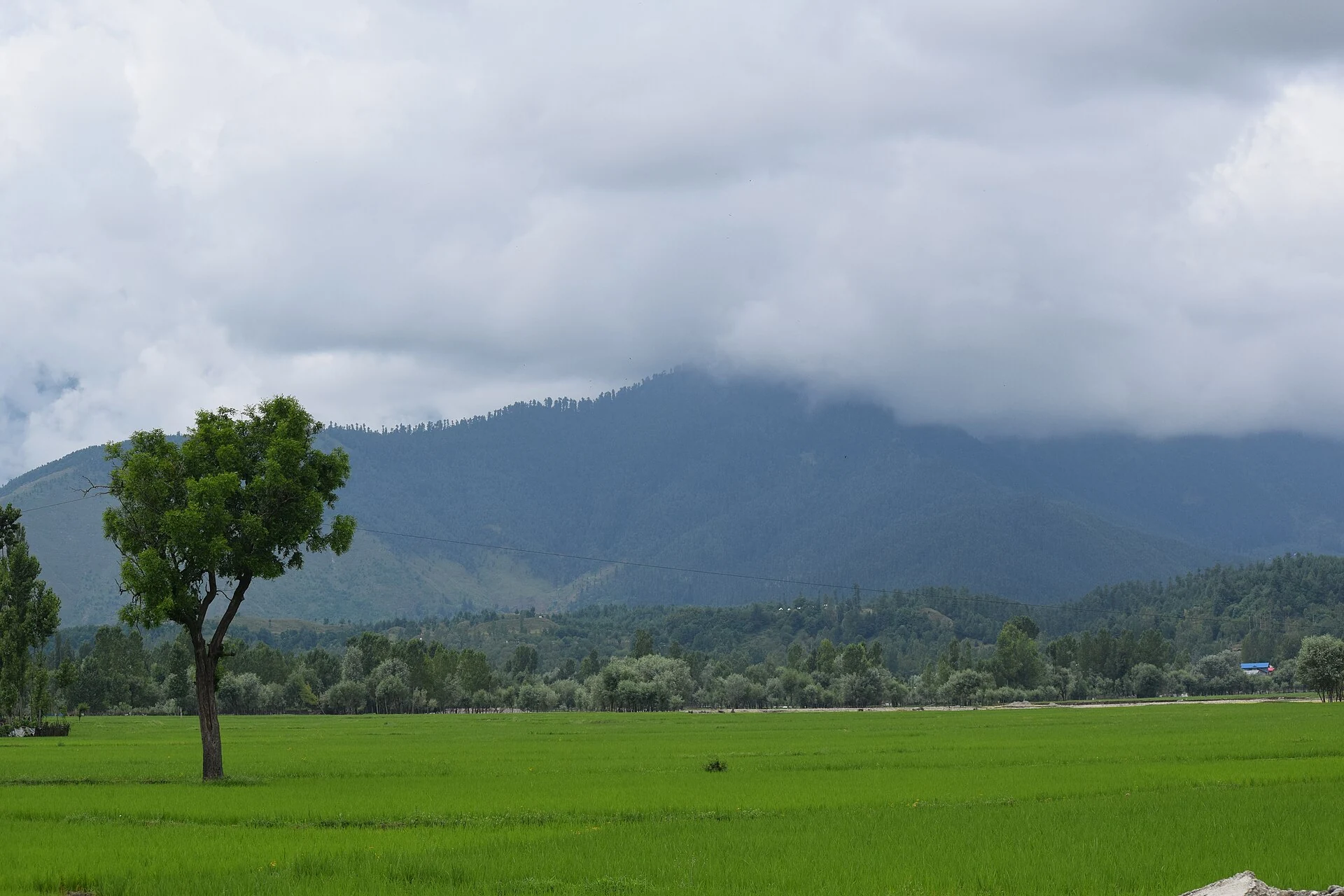
Lolab Valley: Villages, Forests and the Lalkul Waterscape
Lolab’s stream, villages, cultivated ground and forested slopes within Kupwara district.