
Doodhpathri: Meadow, Streams and the Budgam Uplands
Doodhpathri is a meadow destination in Budgam district's Khansahib area, in the Pir Panjal uplands.
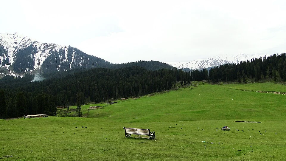
Doodhpathri is a meadow destination in Budgam district's Khansahib area, in the Pir Panjal uplands. Its name is commonly translated as “Valley of Milk.” The landscape is associated with grassland, forested slopes and streams; it is not simply a garden planted for visitors. Tourism, seasonal grazing and the physical setting provide different perspectives on the same place.[1]
Meadow and flowing water
The district administration describes Doodhpathri as a highland destination and records its position within Budgam. A meadow view can show open ground framed by trees, while a stream view emphasises water running over stones. These photographs reveal particular aspects of the landscape rather than proving that all of Doodhpathri has one uniform vegetation type.[2]
A tradition associated with Sheikh Noor-ud-Din, or Nund Rishi, explains the name through a story of milk becoming water. It belongs to the area's religious and cultural memory. Describing it as a tradition preserves that meaning without presenting it as a literal hydrological account. The wider religious context can be explored at Charar-e-Sharief.[1]
A landscape with uses and seasons
Published descriptions associate the meadows with seasonal grazing. That working landscape should remain visible in an account otherwise dominated by recreation. A herd, path or temporary structure is evidence of use, not necessarily an intrusion into a place that was previously uninhabited. Understanding local activity requires attention to season and to the people using the land.[1]
The existence of a development authority also shows that the destination is managed within a broader tourism framework. The district's description of the authority explains the intention to develop additional destinations alongside better-known places. It does not establish the current opening status of every attraction or the availability of a particular service.[3]
Compare Doodhpathri with Gulmarg, while retaining their separate local histories and administrative settings. The Srinagar Airport entry provides a transport connection rather than a fixed journey time. This article treats Doodhpathri as a named meadow landscape and uses the existing Places & Geography category without inventing a new category. Access should be confirmed with current local notices; older descriptions of easy access are not proof that the destination is open today.
Photograph and map record
Photograph: Ankur P from Pune, India via Wikimedia Commons. Licence: CC BY-SA 2.0. Recorded capture date: 2014-05-10 14:04. Resized and converted to WebP; scene content unchanged. This is a dated view, not confirmation of the site’s present appearance.

Map marker: 33.85, 74.56. Representative location from the secondary geographical record, not a surveyed boundary or verified visitor entrance. View location on OpenStreetMap · View Google Maps · Google directions · OpenStreetMap directions.
Research checked: 14 October 2026. For a visit, confirm current access, transport and opening information with the relevant authorities. This encyclopedia profile provides geographical and historical context.
Sources & references
[1] Doodhpathri — secondary historical/geographical overview
https://en.wikipedia.org/wiki/Doodhpathri ↗
[2] Budgam district: Doodhpathri meadow destination
https://budgam.nic.in/tourist-place/doodhpathri/ ↗
[3] Budgam district: Doodhpathri Development Authority
Photograph and licence
Related reading
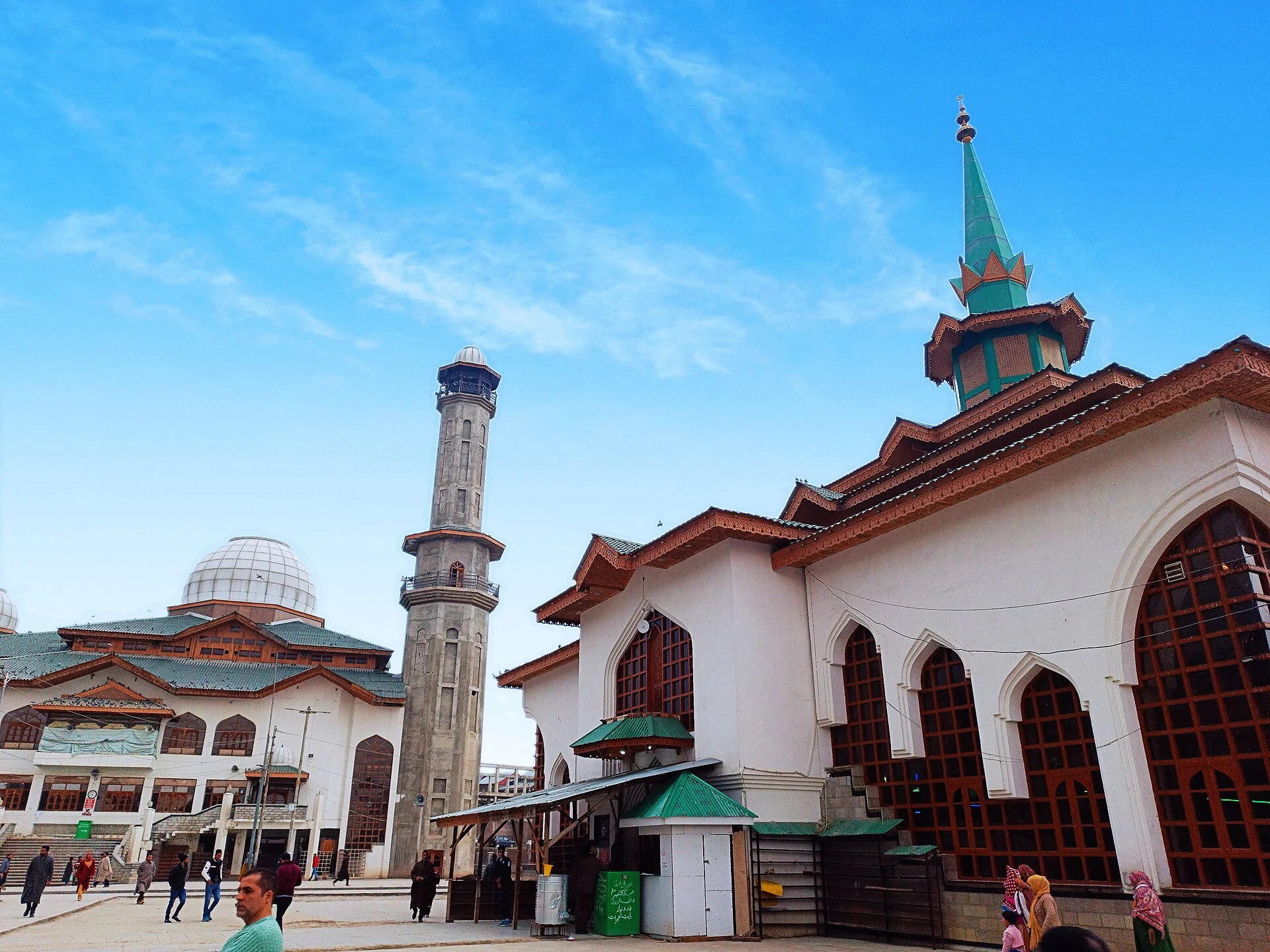
Charar-e-Sharief: Nund Rishi, Memory and a Living Shrine
Nund Rishi’s remembered teaching, the shrine’s rebuilding and continuing devotion within Budgam.
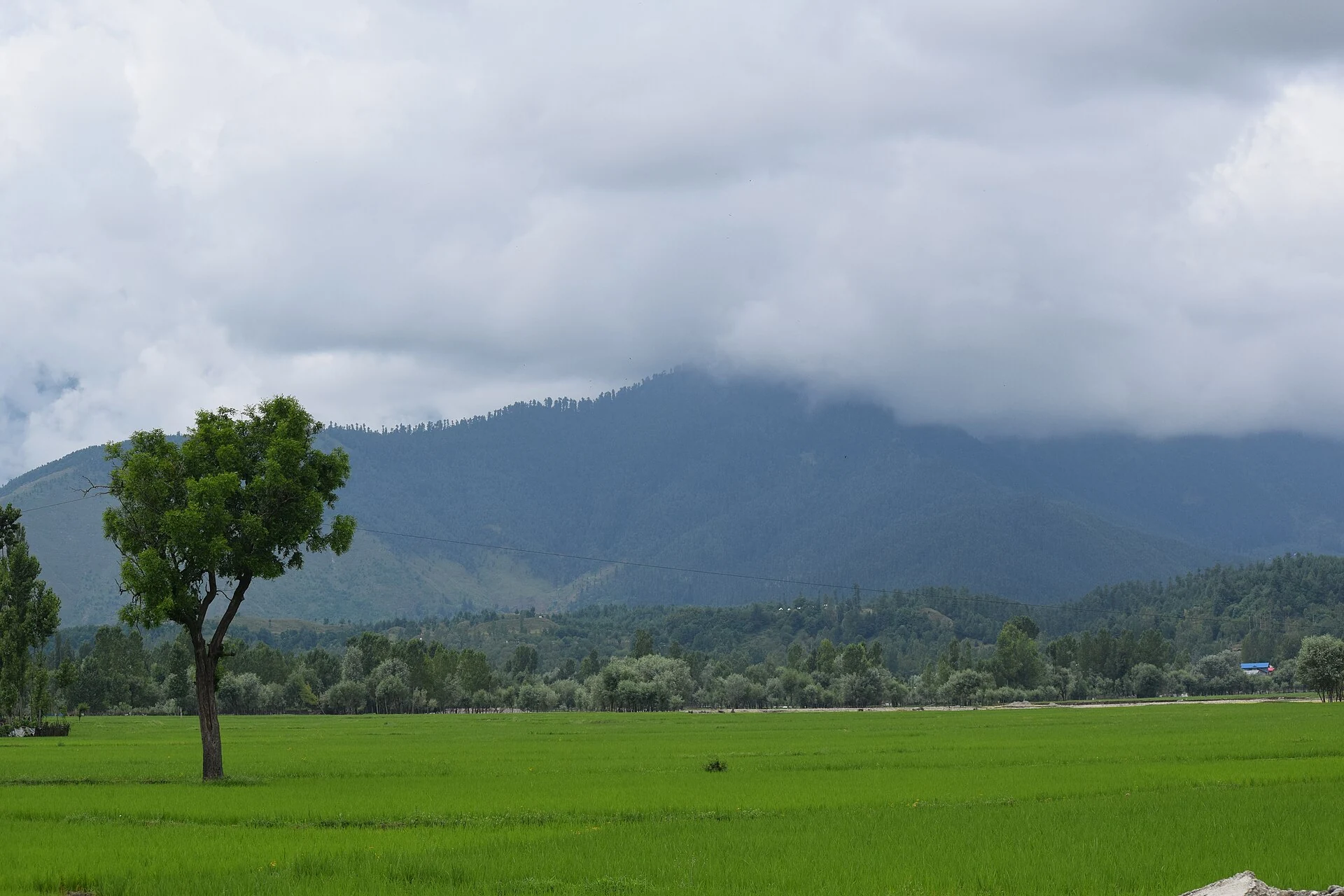
Lolab Valley: Villages, Forests and the Lalkul Waterscape
Lolab’s stream, villages, cultivated ground and forested slopes within Kupwara district.
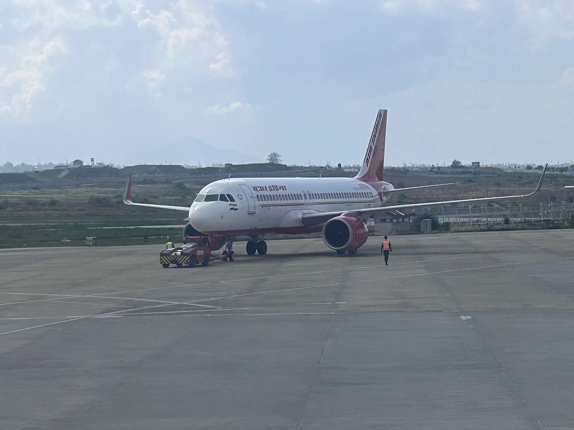
Srinagar International Airport: Civil Gateway, History and Passenger Information
Srinagar Airport’s Budgam location, civil-enclave arrangement, historical milestones and official sources for passenger information.