
Chandanwari: A Mountain Approach above Pahalgam
Chandanwari, also written Chandanwadi, is a mountain approach above Pahalgam in Anantnag district. It appears in accounts of the Pahalgam-side Amarnath pilgrimage route and in district tourism material. The locality is a named stage in a larger landscape, not another name for the shrine itself or for the whole pilgrimage journey.
Chandanwari, also written Chandanwadi, is a mountain approach above Pahalgam in Anantnag district. It appears in accounts of the Pahalgam-side Amarnath pilgrimage route and in district tourism material. The locality is a named stage in a larger landscape, not another name for the shrine itself or for the whole pilgrimage journey. [1]
Road approach and onward movement
Historical district-handbook material lists Chandanwari among places in the Pahalgam surroundings. This gives a dated geographical reference, while present road and pilgrimage arrangements require current information. A place’s inclusion in an older visitor list does not establish today’s vehicle access, registration procedure or departure conditions. [2]
A roadhead and a mountain destination should be recorded separately. A vehicle reaching an approach point does not establish that it can continue along an onward walking route. This is particularly important when a named place appears both in sightseeing descriptions and in a pilgrimage itinerary.
Seasonal landscape
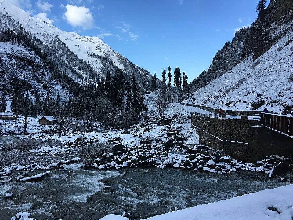
The selected photograph records Chandanwari after snowfall. Snow is part of the scene at that date, not a guarantee that a visitor will encounter the same conditions in another month or year. The image should therefore retain its actual caption rather than serve as an advertisement for an assured snow experience.
Mountain weather affects the appearance and usability of a route in ways that a still photograph cannot reveal. Open ground in one image may be covered later, while a visible track does not establish a safe or authorized passage. Current route information must be obtained independently of the visual record.
Connections with nearby entries
Read Chandanwari with Pahalgam, Betaab Valley and the Amarnath-related profiles to distinguish a town, a scenic landscape and a pilgrimage destination. The map gives labelled area orientation rather than a verified checkpost, boarding bay or walking departure point. Specific pilgrimage arrangements belong to the responsible authorities’ current notices. An encyclopedia can preserve Chandanwari’s geographical role without reconstructing an itinerary from old distances or implying that a visitor may proceed beyond the approach under every set of seasonal and administrative conditions.
Image and map record
Image: Akigupta131 via Wikimedia Commons. Licence: CC BY-SA 4.0. Recorded capture date: 2016-04-22 07:26:06. Resized and converted to WebP; image content unchanged. This is a dated view, not confirmation of the site’s present appearance.
Map marker: 34.05, 75.36. Pahalgam–Chandanwari approach-corridor context only. Exact Chandanwari roadhead/checkpost is not verified; do not use this point as pilgrimage directions. View location on OpenStreetMap · View Google Maps · Google directions · OpenStreetMap directions.
Research checked: 15 October 2026. For a visit, confirm current access, transport and opening information with the relevant authorities. This encyclopedia profile provides geographical and historical context.
Sources & references
[1] Anantnag administration: tourism and Chandanwari
https://anantnag.nic.in/touristplaces-modern/ ↗
[2] Census of India: Anantnag district handbook, 2011
Image and licence
https://commons.wikimedia.org/wiki/File:Chandanwari,_Jammu_and_Kashmir,_India_after_snowfall.jpg ↗
Related reading
Achabal Garden: Spring-fed Terraces and Mughal Design
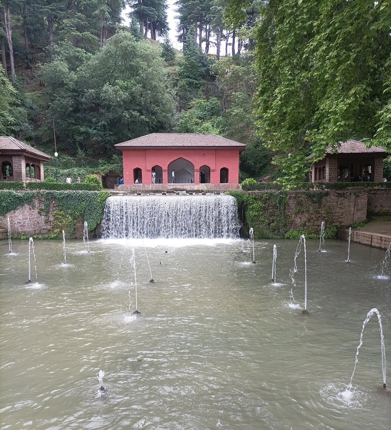
Achabal Garden is a Mughal garden in Anantnag district, arranged around a spring at the foot of a hill.
Anantnag Railway Station: Rail Access in Southern Kashmir
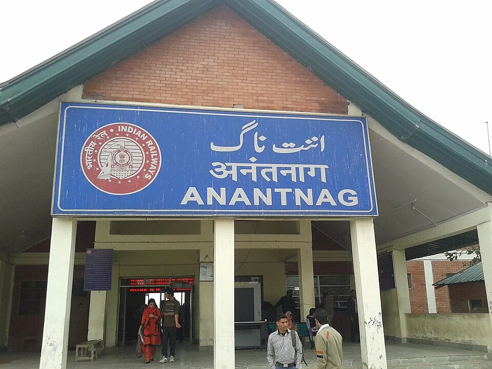
Anantnag railway station is a rail access point for southern Kashmir. It serves the Anantnag area within the Kashmir Valley corridor and is identified
Anantnag: Town, Springs and Southern Kashmir
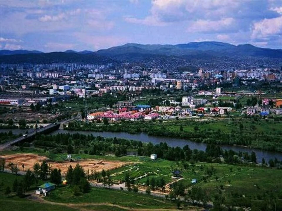
Anantnag is a major town and district headquarters in southern Kashmir. The name also refers to the surrounding district, so town history and district