
Hokersar: Wetland, Migratory Birds and Valley Water Systems
Hokersar, also recorded as Hokera Wetland, lies in the Kashmir Valley near Srinagar.
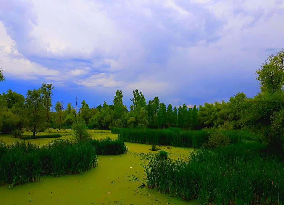
Hokersar, also recorded as Hokera Wetland, lies in the Kashmir Valley near Srinagar. It belongs to the Jhelum basin and is associated with the Doodhganga catchment. The site includes shallow water, marshes and vegetation, making it different from a deep open lake. Its reputation for migratory waterbirds reflects the value of this varied habitat rather than a single scenic viewpoint.[1]
Water and bird habitat
Hokera was designated a Ramsar wetland in 2005. Its official information sheet documents the site's hydrology, vegetation, conservation importance and pressures. Such a record concerns a defined wetland area and a stated reporting period; it should not be used as a live bird-count report or a guarantee of today's water level.[2]
The wetland receives water through connected channels and participates in the larger valley water system. Seasonal conditions affect the extent of open water and marshy ground. Migrating birds can use the site for feeding and resting, but their presence varies with species, time and conditions. Lists of birds recorded at a wetland are therefore different from a promise that all can be seen during one visit.[1]
Conservation as a landscape question
Wetland condition depends on processes beyond the viewing point. Changes in inflow, sediment, waste or nearby land use can alter habitat within the site. A clean-looking stretch of water cannot by itself establish that the whole wetland is healthy, just as a dry patch cannot alone demonstrate permanent loss. Dated measurements and repeated observations provide stronger evidence.
The national wetland atlas places Hokera within a wider conservation framework and records the significance of its water supply. Reading the wetland through its catchment helps explain why management involves connected channels and surrounding activities as well as birds. The site is not an ornamental pond whose water and margins can be understood separately from the valley.[3]
This article uses Srinagar as its principal district filter while recognising the wider wetland and catchment setting toward Budgam. Compare the more extensive open-water landscape of Wular and the mixed settlement-and-water environment of Dal Lake. Wildlife observation should avoid disturbing birds or entering restricted marshes; the representative marker is not a verified public entrance.
Photograph and map record
Photograph: Rayeesmaqboolkashmir via Wikimedia Commons. Licence: CC BY-SA 4.0. Recorded capture date: 2017-06-11. Resized and converted to WebP; scene content unchanged. This is a dated view, not confirmation of the site’s present appearance.

Map marker: 34.095, 74.7075. Representative location from the secondary geographical record, not a surveyed boundary or verified visitor entrance. View location on OpenStreetMap · View Google Maps · Google directions · OpenStreetMap directions.
Research checked: 14 October 2026. For a visit, confirm current access, transport and opening information with the relevant authorities. This encyclopedia profile provides geographical and historical context.
Sources & references
[1] Hokersar — secondary historical/geographical overview
https://en.wikipedia.org/wiki/Hokersar ↗
[2] Ramsar Information Sheet: Hokera Wetland, site 1570
https://rsis.ramsar.org/RISapp/files/RISrep/IN1570RIS.pdf ↗
[3] National wetland atlas: Hokera catchment and Ramsar designation
Photograph and licence
https://commons.wikimedia.org/wiki/File:Hokersar_wetland.jpg ↗
Related reading
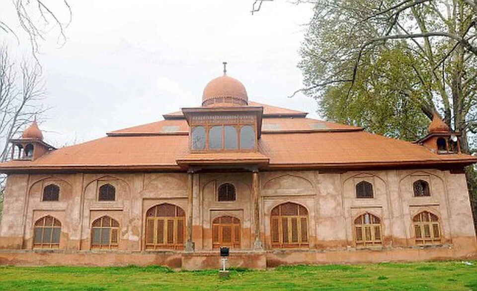
Aali Masjid: Open Ground and a Historic Srinagar Mosque
Aali Masjid, also written Ali Masjid, is a historic mosque in Srinagar's Eidgah area.
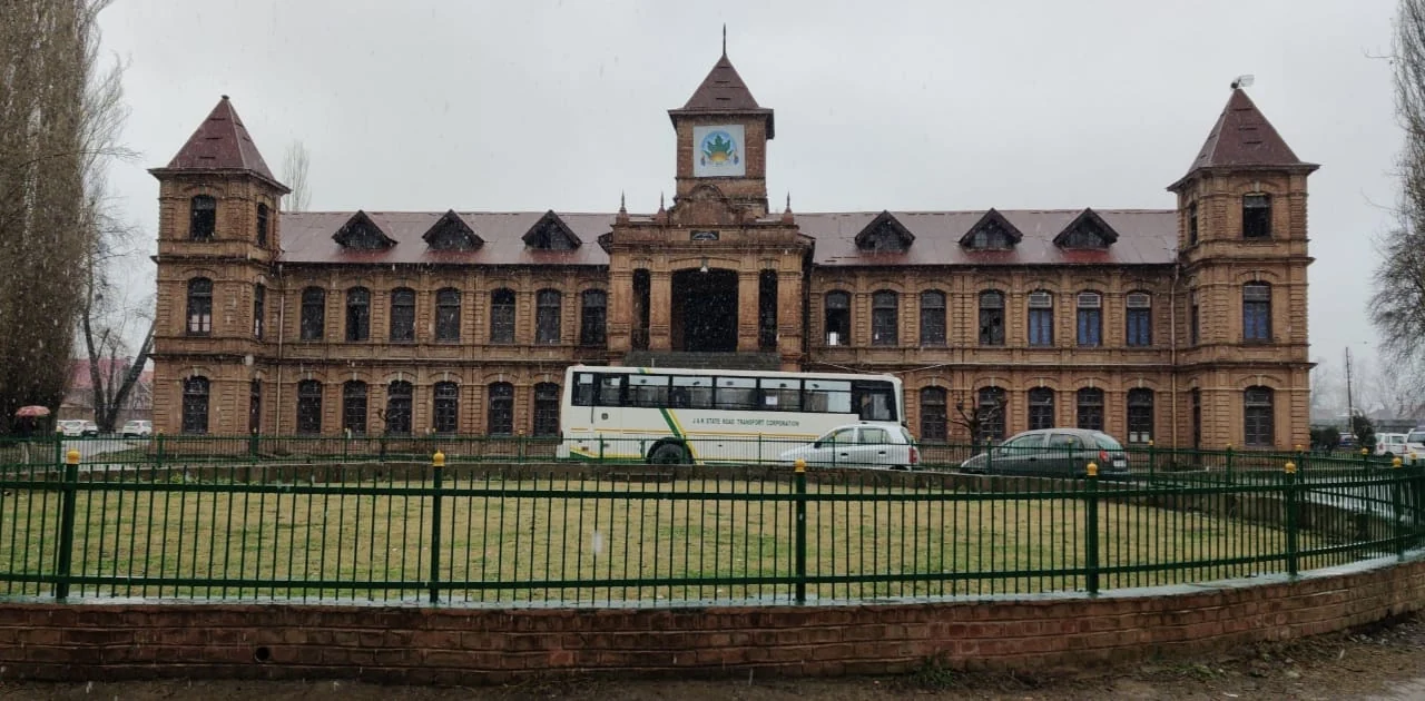
Amar Singh College: Education, Campus Heritage and Institutional Change
The growth of an educational institution from a technical institute, with campus conservation and academic resources.
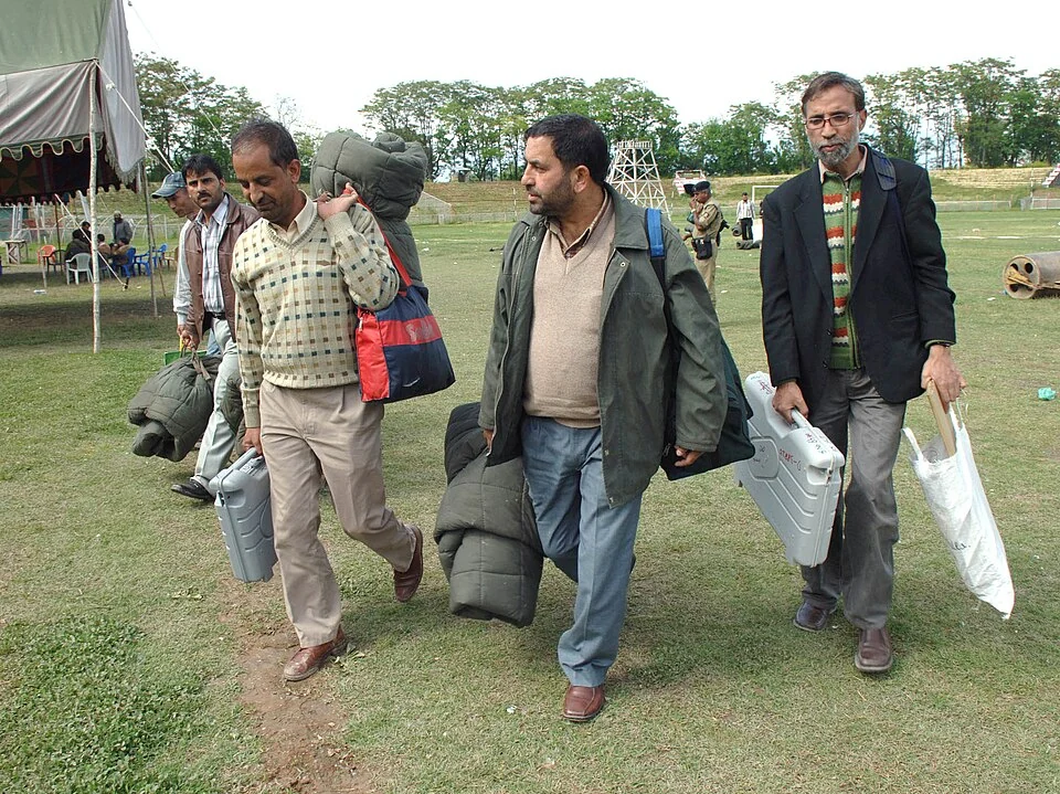
Bakshi Stadium: Football and a Public Sports Venue in Srinagar
Bakshi Stadium is a major sports venue in Srinagar, particularly associated with football.