
Hunder: Settlement and Sand-dune Landscape in Nubra
Hunder, also written Hundar, is a village in Nubra known for a landscape combining settlement, cultivated ground and nearby sand dunes.
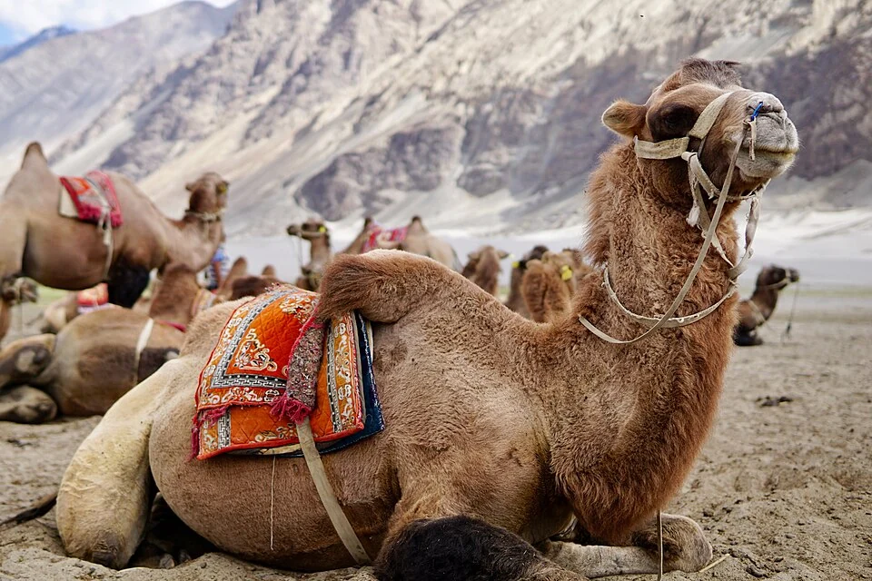
Hunder, also written Hundar, is a village in Nubra known for a landscape combining settlement, cultivated ground and nearby sand dunes. It lies in the Shyok-valley setting and is associated with Bactrian camels in the dunes area. The village and the tourism activity around it are connected but should not be treated as identical subjects.[1]
A village beside a distinctive landscape
The Ladakh heritage inventory identifies Hunder on the Shyok corridor and records local heritage and oral traditions. Such traditions contribute to the village's cultural identity, while claims about an earliest settlement or former capital require their particular historical evidence. An oral account should remain identifiable as an oral account.[2]
The district tourism material includes the Hunder dunes within Nubra's attractions. Sand, river-related ground and cultivated patches can occur close together without having the same use or ecological character. The visually striking dunes should not erase the inhabited village from the description.[3]
Tourism and community setting
Camels are a recognisable part of the visitor imagery, but a photograph of animals used for rides does not establish the history of every herd or the welfare and availability of a particular operator. Practical arrangements need current, operator-specific information.
A village profile can also investigate houses, local institutions and livelihoods. These subjects may be less prominent in tourist pictures but are central to understanding a settlement. The balance between visitor use and everyday life is better described through documented activities than through a label such as “untouched.”
Hunder belongs within Nubra's notified 2026 district framework; older references commonly use Leh district. Read Diskit for a separate religious centre and Turtuk for another village with a distinct cultural setting. Khaltse supplies an Indus-valley comparison. The marker identifies the village area, not the boundary of the dunes or an authorised camel-ride starting point.
Photograph and map record
Photograph: Lianguanlun via Wikimedia Commons. Licence: CC BY 4.0. Recorded capture date: 2017-07-26 16:14:46. Resized and converted to WebP; scene content unchanged. This is a dated view, not confirmation of the site’s present appearance.

Map marker: 34.575836, 77.494823. Representative source-record location, not a surveyed boundary or verified visitor entrance. Confirm actual access and accessibility locally. View location on OpenStreetMap · View Google Maps · Google directions · OpenStreetMap directions.
Research checked: 14 October 2026. For a visit, confirm current access, transport and opening information with the relevant authorities. This encyclopedia profile provides geographical and historical context.
Sources & references
[1] Hundar, India — secondary historical/geographical overview
https://en.wikipedia.org/wiki/Hundar%2C_India ↗
[2] Ladakh heritage inventory: Hundar village
https://heritage.ladakh.gov.in/village/hundar ↗
[3] Leh district archive: Nubra and Hunder dunes
https://leh.nic.in/tourist-place/nubra-valley/ ↗
Photograph and licence
https://commons.wikimedia.org/wiki/File:Bactrian_camels_at_Hunder_sand_dunes_Ladakh.jpg ↗
Related reading

Basohli: Ravi-side Town and a Centre of Pahari Painting
Basohli is a town in Kathua district, in the Jammu region, overlooking the Ravi river landscape.
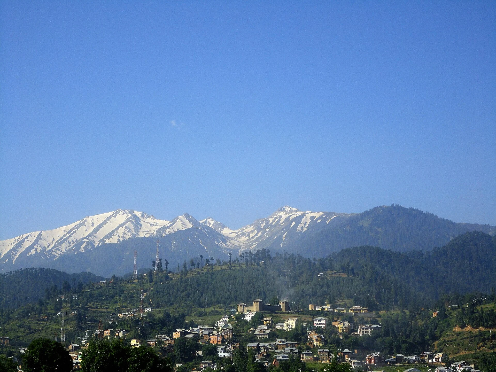
Bhaderwah: Town, Valley and the Bhadarwahi Cultural Landscape
The mountain town and valley, local language identity and relationship with surrounding destinations.
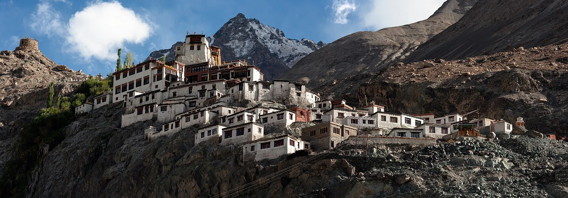
Diskit Monastery: Gelug Heritage and the Nubra Valley
Nubra’s Gelug monastery, hillside architecture, community life and the newer district classification.