
Diskit Monastery: Gelug Heritage and the Nubra Valley
Nubra’s Gelug monastery, hillside architecture, community life and the newer district classification.
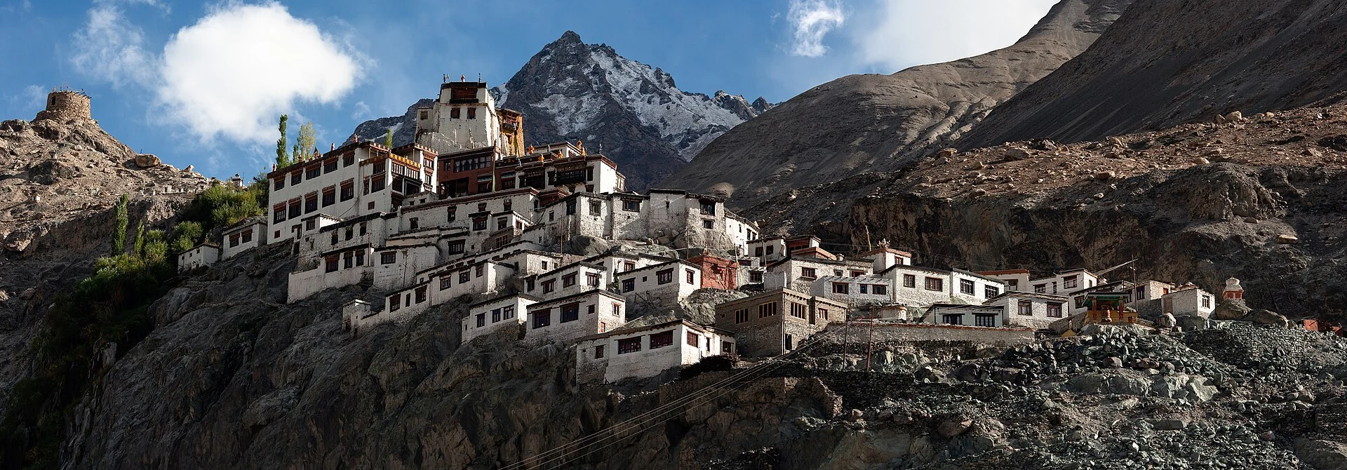
Diskit Monastery, also spelled Deskit Gompa, is a major Buddhist institution above Diskit in the Nubra Valley of Ladakh. It belongs to the Gelug tradition and is associated with Changzem Tserab Zangpo in the late medieval period. The monastery’s hillside buildings and the large separate Maitreya image nearby are recognisable features, but they should be distinguished rather than described as one structure built in a single phase.[2]
Monastery and hillside setting
The Ministry of Tourism identifies Diskit as a prominent Nubra monastery and describes its architecture, religious images and local educational role. The steep setting allows the buildings to be seen in relation to the valley floor. A viewpoint at the monastery and a view of the monastery from below reveal different aspects of its location and scale.[1]
The photograph shows the older hillside complex, with buildings rising against rocky mountain ground. It does not centre on the modern large Maitreya statue. Captions need to retain that distinction so that a reader can recognise which part of the destination is actually illustrated.
A Gelug institution
The secondary monastery account describes the Gelug association and its connection with Thiksey. It also identifies sacred images and a prayer hall within the complex. These details relate to institutional and religious life rather than solely to the building’s exterior appearance. A monastery is a place of teaching and worship, even when a visitor first encounters it through a panoramic photograph.[2]
The Ministry’s account notes an educational initiative linked with the monastery and supported by an outside organisation. The monastery’s role can therefore extend beyond ceremonies in the prayer hall. Its relationship with education is a specific local activity, not a claim that every Ladakh monastery runs an identical school or follows the same administrative arrangements.[1]
Festival and community
The secondary account connects Diskit with Dosmoche, a religious festival involving people from Nubra communities. Festival history and current dates are different kinds of information. A general description explains the event’s role, while the actual date and arrangements for a given year need confirmation from the current monastery or district notice.[2]
As with other monastic sites, the spaces of worship, the routes used by residents and the places open to visitors can have different purposes. A map point establishes orientation but not access to every room. The photograph’s recorded date is retained so that a view of the complex is not mistaken for a current survey of all its surfaces and facilities.
Nubra after the 2026 district changes
This article uses Nubra as its district filter. The Ladakh administration’s April 2026 announcement notified Nubra among five new districts, expanding the territory’s district framework. Older destination and monastery descriptions still place Nubra within Leh district. Their geographical setting remains useful, but the older administrative label should not override the newer district classification used here.[3]
Older buildings and a newer monumental image
The large Maitreya image associated with Diskit is a prominent visitor landmark in addition to the hillside monastery. It should be identified as a separate feature, not confused with every statue described in the prayer hall. The Ministry’s account brings religious images, teaching and the monastery together, while the supplied photograph deliberately illustrates the older building complex.[1]
This difference shows how a destination’s public image can change over time. A large outdoor figure may become the most circulated photograph of a place whose institutional history is much older. An encyclopedia benefits from keeping both in view: the recognisable modern landmark and the enduring monastery with its different spaces, functions and religious associations.
Compare Hemis Monastery for a different Buddhist lineage and festival tradition, and Leh Palace for royal architecture. Kargil district introduces the need to distinguish legacy administrative descriptions from the newer district framework, while Sonamarg follows a Kashmir-side mountain connection towards Ladakh.
Photograph and map record
Photograph: KennyOMG via Wikimedia Commons. Licence: CC BY-SA 4.0. Recorded capture date: 2009-09-04. Resized and converted to WebP; scene content unchanged. This is a dated view, not confirmation of the site’s present appearance.

Map marker: 34.54111111, 77.56027778. Representative coordinate from the secondary geographical reference; not a surveyed boundary or a verified accessible entrance. View location on OpenStreetMap · View Google Maps · Google directions · OpenStreetMap directions.
Research checked: 14 October 2026. For a visit, confirm current access, transport and opening information with the relevant authorities. This encyclopedia profile provides geographical and historical context.
Sources & references
[1] Primary place or institutional account
https://www.incredibleindia.gov.in/en/ladakh/leh/diskit-monastery ↗
[2] Secondary historical and geographical reference
https://en.wikipedia.org/wiki/Diskit_Monastery ↗
[3] UT Ladakh — New districts notified, 27 April 2026
Photograph and licence
https://commons.wikimedia.org/wiki/File:Diskit_Gompa_2.jpg ↗
Related reading
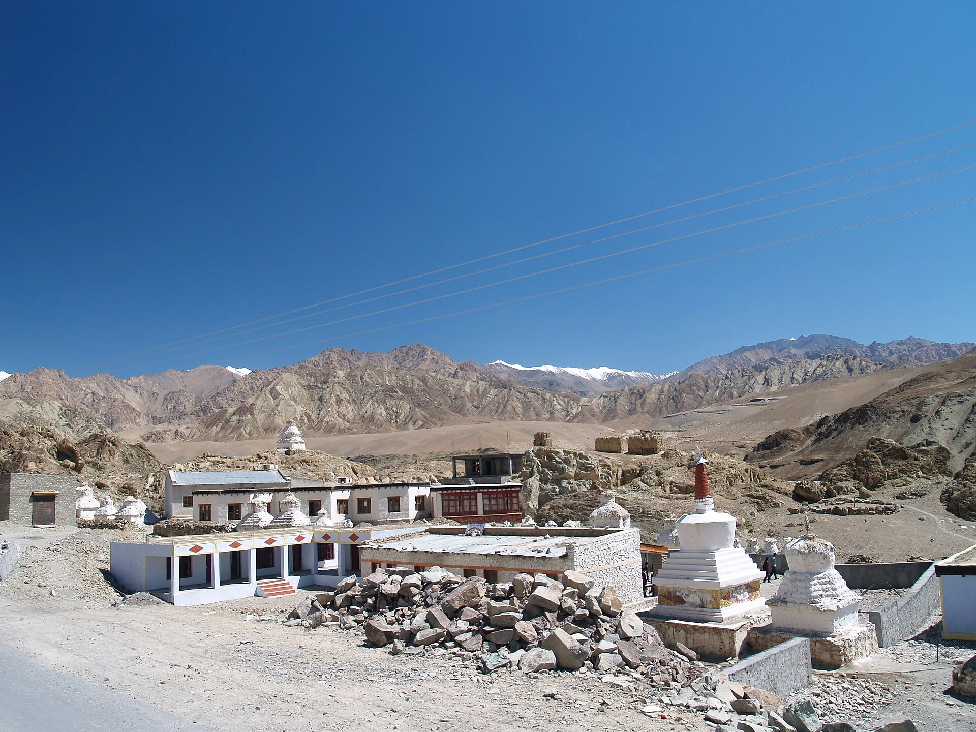
Alchi: Painted Temples and the Art of Western Himalayan Buddhism
Alchi is a Buddhist temple complex in the lower Indus valley, known especially for its painted interiors, sculpture and carved woodwork.
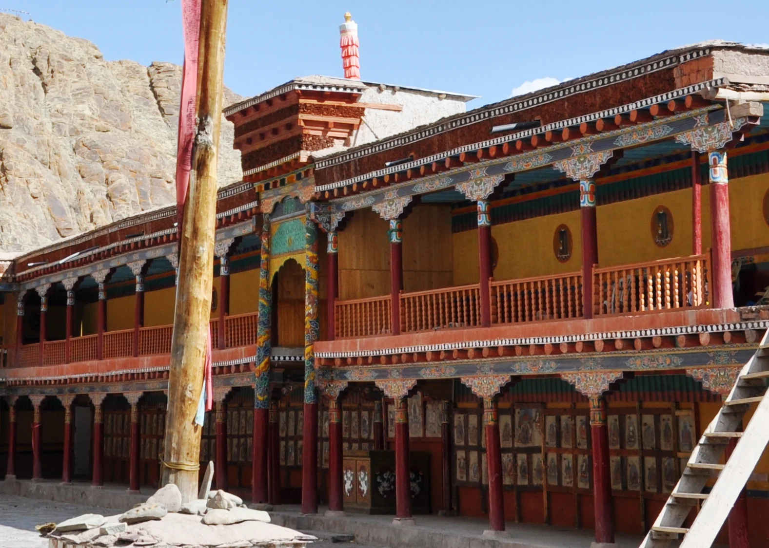
Hemis Monastery: Drukpa Heritage, Courtyard and Festival Traditions
Hemis as a living Buddhist institution, with royal associations, sacred art, courtyard use and the religious meanings of its annual festival.
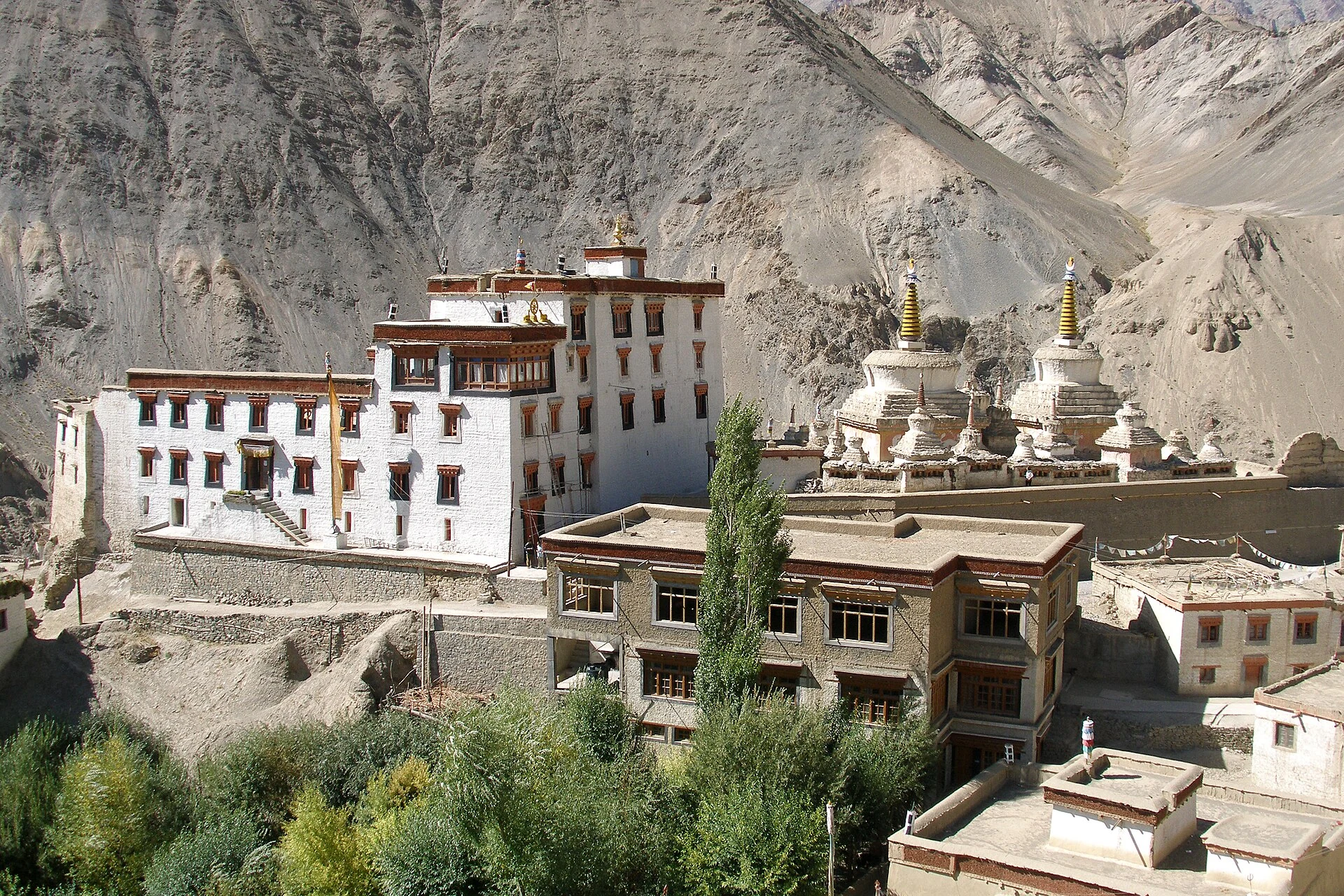
Lamayuru: Monastery, Village and an Unusual Mountain Landscape
Lamayuru, also known as Yuru monastery, is a Buddhist monastic centre on the western Ladakh road corridor.