
Khaltse: Indus Crossing and Headquarters of Sham
Khaltse, also spelt Khalatse or Khalsi, is an Indus-valley settlement on the road corridor linking Leh and Kargil.
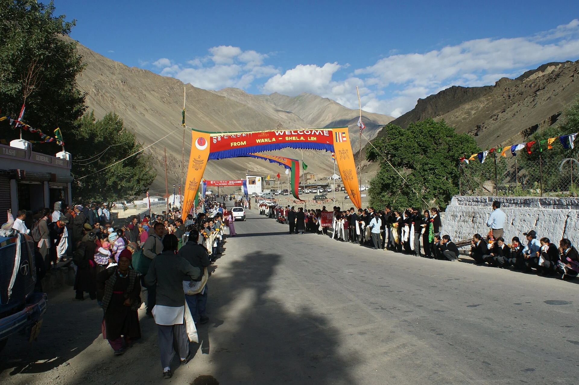
Khaltse, also spelt Khalatse or Khalsi, is an Indus-valley settlement on the road corridor linking Leh and Kargil. Its importance is closely connected with a river crossing: routes arriving from the west meet the Indus landscape here. The settlement is consequently a useful place for understanding Ladakh through circulation, cultivation and local services rather than through a single isolated monument.[1]
The April 2026 notification names Khaltse as the headquarters of Sham district.[2] Earlier references placing it in Leh district describe the previous arrangement.
The significance of a crossing
Historical accounts associate Khaltse with bridges, a fortified customs point and inscriptions. Those remains suggest several kinds of activity at a strategic crossing, but they should not be combined into one undated “ancient site.” A bridge, inscription and ruined structure may belong to different phases. Establishing their individual histories requires attention to the particular object or archaeological record.[1]
A crossing can shape a settlement without determining every part of its life. Movement brings opportunities for exchange and services, while the surrounding land supports other activities. Looking only at the highway gives a narrower picture than looking at the village, its fields and its relationship with the river. Conversely, a view of crops alone cannot explain the settlement's place in the transport network.
Lower-Ladakh connections
Ladakh's official tourism account includes Khaltsi among places in the western Indus corridor and links the area with neighbouring settlements. Its older regional terminology remains useful for locating places, while the current district notification supplies the administrative assignment. Tourism circuits and district boundaries are different ways of organising the same landscape.[3]
The distinctions become clearer when Khaltse is compared with nearby heritage centres such as Lamayuru and Alchi. The Leh Palace entry offers a contrasting view of a larger royal and urban centre. Spellings may differ between records, but this article uses one stable subject identity and a representative settlement marker rather than claiming to map the whole Sham district.
Photograph and map record
Photograph: Kondephy via Wikimedia Commons. Licence: CC BY-SA 3.0. Recorded capture date: 2012-08-11 04:08:34. Resized and converted to WebP; scene content unchanged. This is a dated view, not confirmation of the site’s present appearance.
.jpg)
Map marker: 34.3200775, 76.8793025. Representative location from the secondary geographical record, not a surveyed boundary or verified visitor entrance. View location on OpenStreetMap · View Google Maps · Google directions · OpenStreetMap directions.
Research checked: 14 October 2026. For a visit, confirm current access, transport and opening information with the relevant authorities. This encyclopedia profile provides geographical and historical context.
Sources & references
[1] Khalatse — secondary historical/geographical overview
https://en.wikipedia.org/wiki/Khalatse ↗
[2] Ladakh Gazette: district creation and revenue-village allocation, 27 April 2026
[3] Ladakh administration: tourism and Indus valley settlements
https://ladakh.gov.in/tourism/ ↗
Photograph and licence
https://commons.wikimedia.org/wiki/File:Khalatse_(visit_of_Dalai_Lama).jpg ↗
Related reading
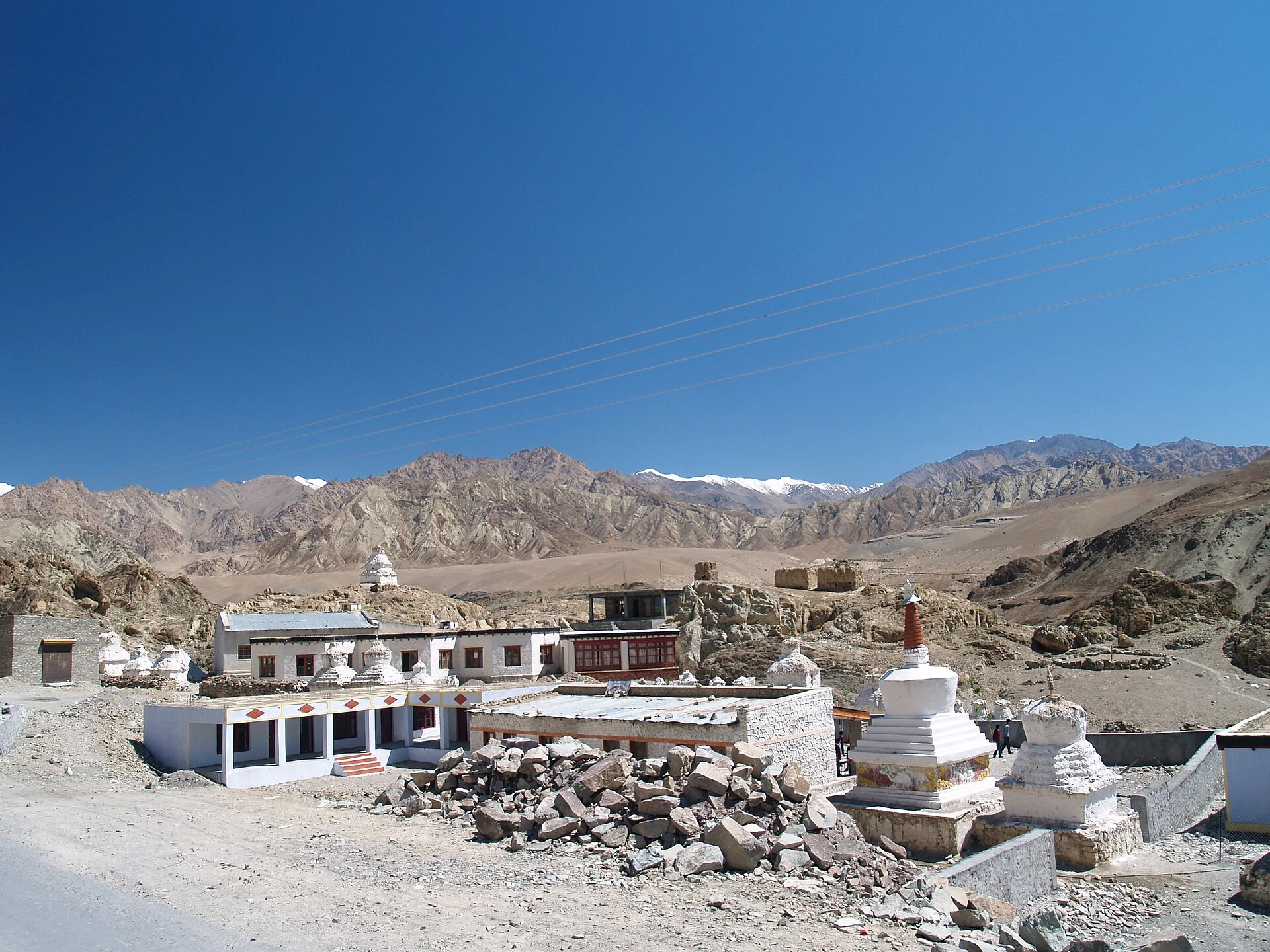
Alchi: Painted Temples and the Art of Western Himalayan Buddhism
Alchi is a Buddhist temple complex in the lower Indus valley, known especially for its painted interiors, sculpture and carved woodwork.
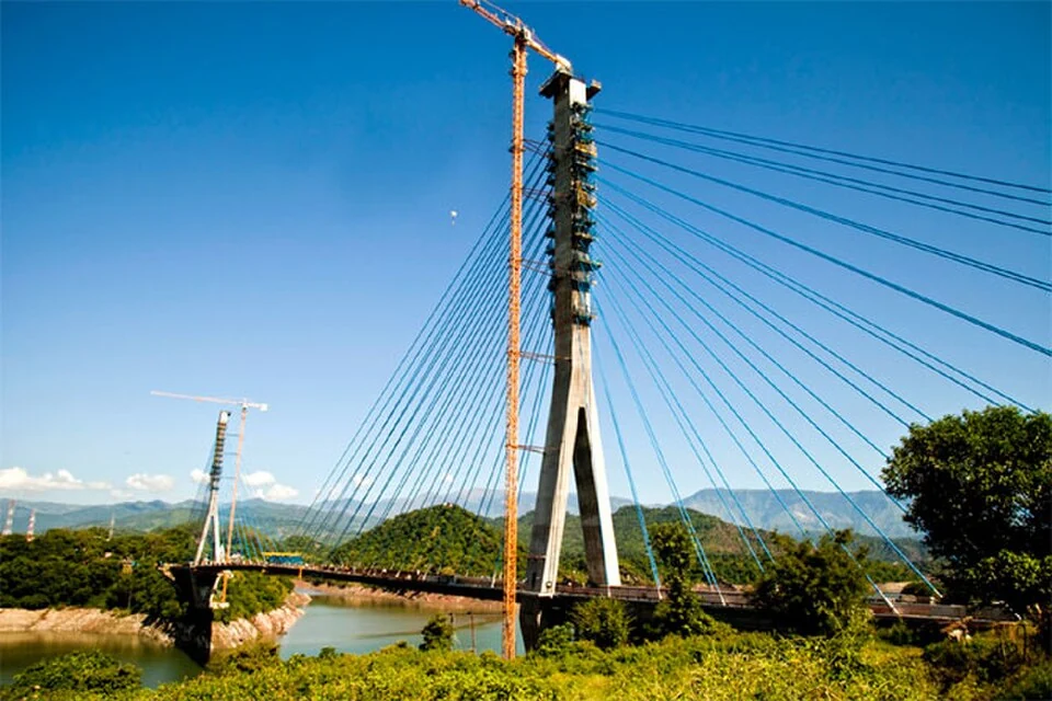
Basohli: Ravi-side Town and a Centre of Pahari Painting
Basohli is a town in Kathua district, in the Jammu region, overlooking the Ravi river landscape.
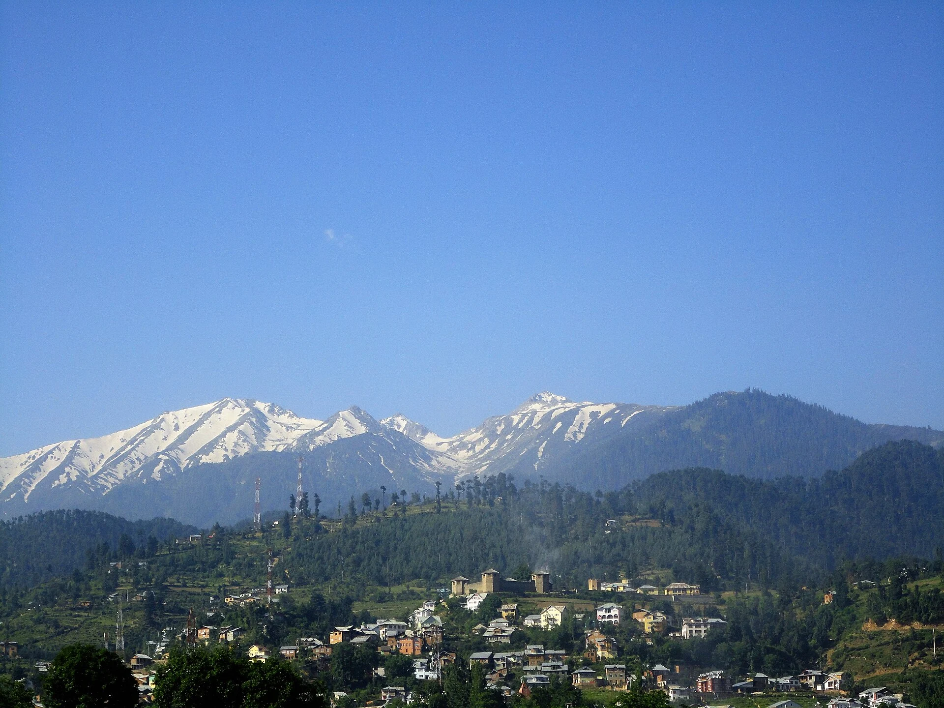
Bhaderwah: Town, Valley and the Bhadarwahi Cultural Landscape
The mountain town and valley, local language identity and relationship with surrounding destinations.