
Kashmir Great Lakes: A Named Mountain-walking Circuit
Kashmir Great Lakes is a name used for a high-mountain walking circuit in the Kashmir Valley. It is also described as the Sonamarg–Vishansar–Naranag route. The name groups a sequence of landscapes and lakes into a trekking itinerary; it does not identify one lake, one administrative unit or a surveyed trail with only a single possible alignment.
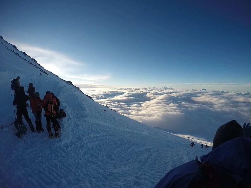
Kashmir Great Lakes is a name used for a high-mountain walking circuit in the Kashmir Valley. It is also described as the Sonamarg–Vishansar–Naranag route. The name groups a sequence of landscapes and lakes into a trekking itinerary; it does not identify one lake, one administrative unit or a surveyed trail with only a single possible alignment. [1]
A route made from linked places
Vishansar, Krishansar and the Gangabal-area lakes are important geographical references when reading descriptions of the circuit. Each lake has its own basin and location, while the route concerns movement between them. An individual lake entry can therefore provide physical context without functioning as the complete trekking plan. [1]
The landscape sequence includes meadows, slopes and mountain passes as well as water. A route’s identity depends on connections across these different features. A photograph at one lake shows a stage or viewpoint, not the difficulty or condition of every section of the walk.
Itineraries and evidence
Commercial itineraries often summarize a trek with a number of days and a difficulty label. Those are planning descriptions made under particular assumptions about stages, pace and support. They are not immutable physical properties of the landscape, and should not be mistaken for a guarantee that every walker can complete the route in that time.
A named circuit also needs to be distinguished from a road journey. Reaching Sonamarg or another gateway does not mean that the lakes themselves are reached by vehicle. The roadhead, walking start and selected camp are different points and require separate location records.
Regional connections
Read this entry with Sonamarg, Vishansar, Krishansar, Gangabal and Naranag to understand how a route links existing encyclopedia places. The map uses a labelled gateway reference rather than pretending to trace the entire circuit. The selected image is captioned according to its source-recorded scene. Current access, weather, permits and local arrangements must be checked for the actual itinerary. By separating individual landscapes from the journey connecting them, the encyclopedia can explain the Great Lakes route while avoiding an invented set of directions or a universal promise about its duration.
Image and map record
Image: Adventure pulse trekkers via Wikimedia Commons. Licence: CC BY 4.0. Recorded capture date: 2016-07-12 05:18:33. Resized and converted to WebP; image content unchanged. This is a dated view, not confirmation of the site’s present appearance.
Map marker: 34.3, 75.3. Sonamarg-side gateway context, not the full Great Lakes circuit, a surveyed trailhead or an authorized itinerary. View location on OpenStreetMap · View Google Maps · Google directions · OpenStreetMap directions.
Research checked: 15 October 2026. For a visit, confirm current access, transport and opening information with the relevant authorities. This encyclopedia profile provides geographical and historical context.
Sources & references
[1] Wikipedia: Great Lakes Trek (secondary overview)
https://en.wikipedia.org/wiki/Great_Lakes_Trek ↗
Image and licence
https://commons.wikimedia.org/wiki/File:Kashmir_great_lakes_trek.jpg ↗
Related reading
Baltal: A Valley Camp and Pilgrimage Approach near Sonamarg
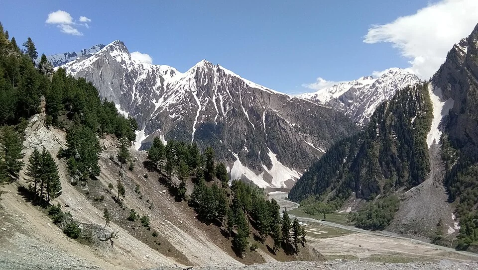
Baltal is a valley camp area near Sonamarg in Ganderbal district, widely associated with an approach to the Amarnath pilgrimage. The place and the sea
Ganderbal: Town and the Sind Valley Corridor
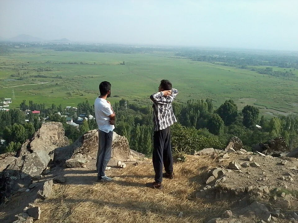
Ganderbal is a town and district headquarters in Kashmir's Sind valley corridor. The river and roads connect it with settlements and mountain approach
Gangabal Lake: Mountain Water and the Haramukh Landscape
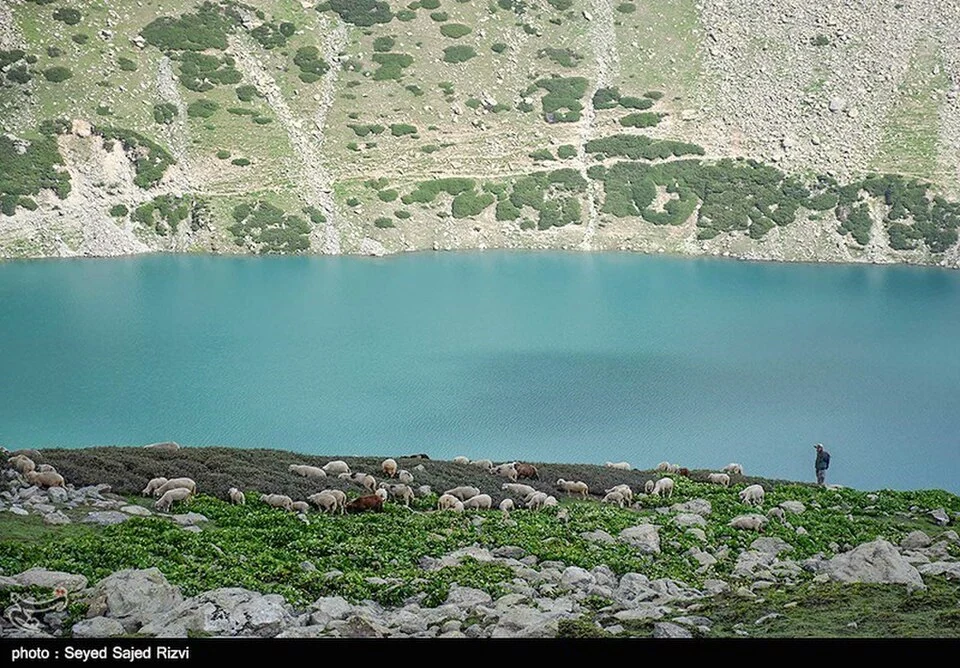
Gangabal, also written Gangbal and associated with the name Haramukh Ganga, is a mountain lake below Haramukh in Ganderbal district. Its water, surrou