
Magnetic Hill: A Roadside Illusion in the Leh Landscape
Magnetic Hill is a roadside attraction west of Leh where the surrounding terrain creates the impression that a vehicle rolls uphill. It is an example of a gravity-hill optical illusion: the apparent slope differs from the actual downhill gradient. The name is a tourism label, not evidence that a hill pulls vehicles through unusual magnetism.
Magnetic Hill is a roadside attraction west of Leh where the surrounding terrain creates the impression that a vehicle rolls uphill. It is an example of a gravity-hill optical illusion: the apparent slope differs from the actual downhill gradient. The name is a tourism label, not evidence that a hill pulls vehicles through unusual magnetism.[1]
How the impression arises
The reference explanation identifies the visual arrangement of neighbouring slopes as the cause of the apparent reversal. Without a clear horizontal reference, a small downhill stretch can be perceived as an ascent. The distinction is between what the landscape seems to show and the actual direction of gravity.[1]
The older Leh tourism page records the attraction and repeats popular explanations involving a magnetic force. It is useful evidence of the site's visitor identity, but that wording does not establish a measured magnetic mechanism. This entry separates the promotional story from the physical explanation.[2]
Place, photograph and demonstration
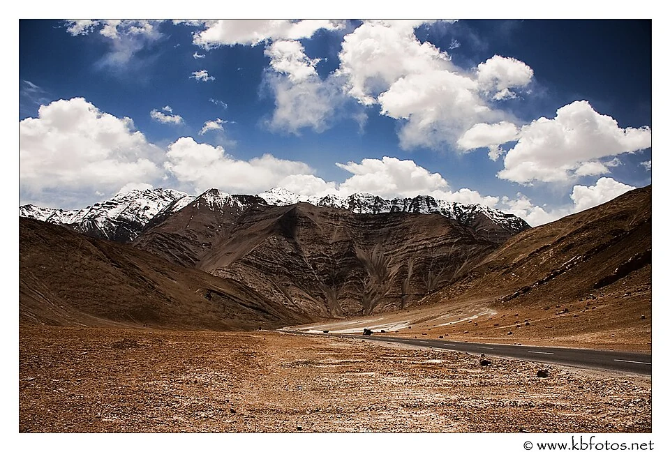
A photograph may show the marked stretch, roadside signs or surrounding mountains. It can locate an attraction while still failing to demonstrate the illusion, which depends on perspective and motion. A still image should not be described as scientific proof of uphill movement.
The site lies in the western Leh approach and is filed under Sham in the current district framework. Older sources commonly place it in Leh district. Those labels describe changes in administration rather than movement of the roadside feature.[3]
Practical demonstrations involving a vehicle need the actual traffic setting. This entry does not instruct a driver to release control on a public road or imply that a marked attraction creates an unrestricted stopping area.
Read Gurdwara Pathar Sahib, Zanskar River and Khaltse for adjoining corridor subjects. Each has a different historical or geographical significance. The marker identifies the attraction's setting, not a surveyed road gradient, approved parking point or measurement site. A directions service supplies orientation without resolving current traffic arrangements.
Image and map record
Image: Kartikey Brahmkshatriya via Wikimedia Commons. Licence: CC BY-SA 3.0. Recorded capture date: 2011-05-10. Resized and converted to WebP; image content unchanged. This is a dated view, not confirmation of the site’s present appearance.

Map marker: 34.171, 77.3525. Source-recorded location for orientation; not a surveyed boundary, verified public entrance, current access guarantee or authorised stopping point. View location on OpenStreetMap · View Google Maps · Google directions · OpenStreetMap directions.
Research checked: 14 October 2026. For a visit, confirm current access, transport and opening information with the relevant authorities. This encyclopedia profile provides geographical and historical context.
Sources & references
[1] Reference overview: Magnetic Hill (India)
https://en.wikipedia.org/wiki/Magnetic_Hill_(India) ↗
[2] Leh administration archive: Magnetic Hill visitor account
https://leh.nic.in/tourist-place/magnetic-hill/ ↗
[3] Ladakh administration: five new districts, 27 April 2026
Image and licence
https://commons.wikimedia.org/wiki/File:Magnetic_Hill,_Ladakh.jpg ↗
Related reading
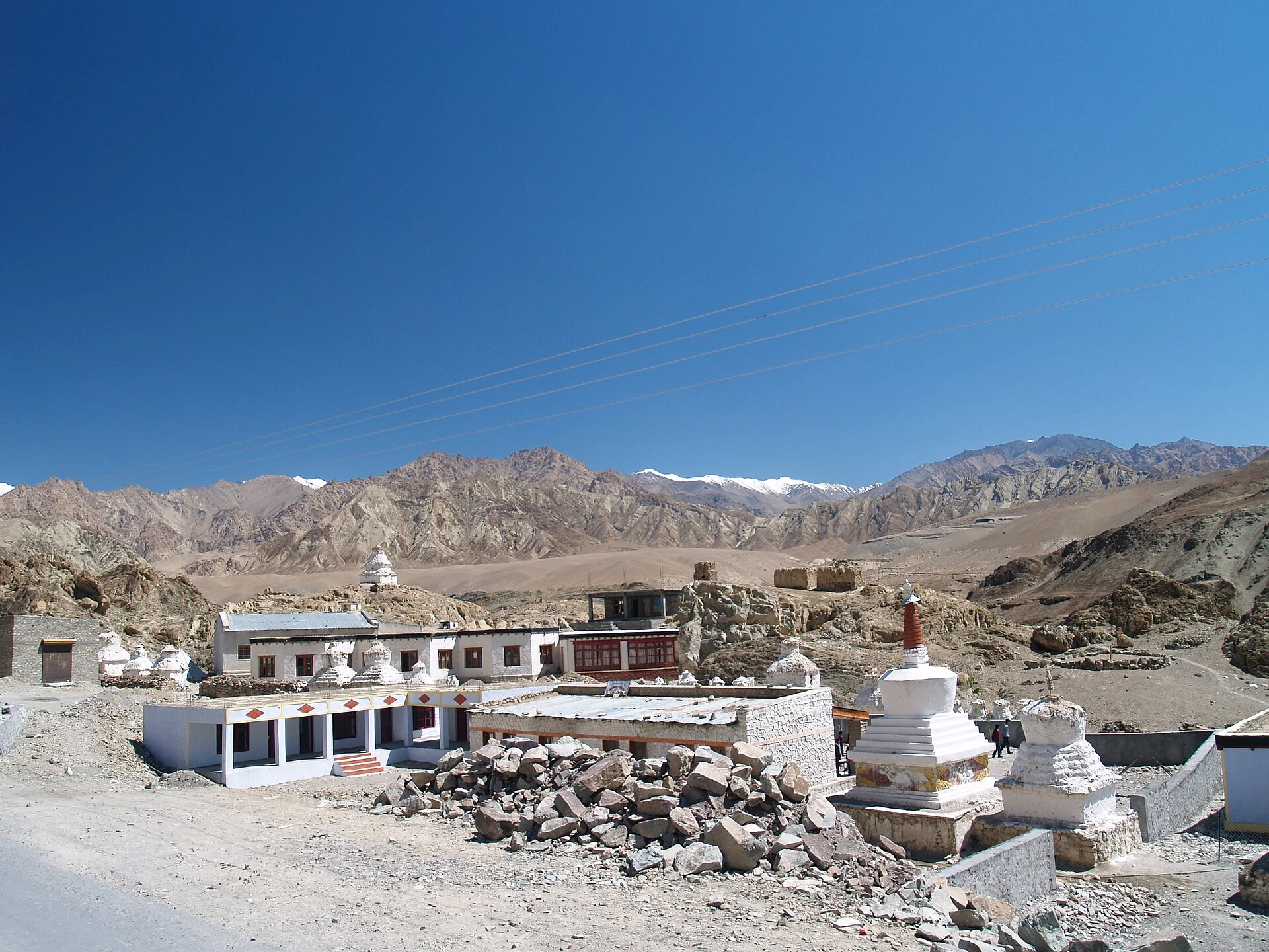
Alchi: Painted Temples and the Art of Western Himalayan Buddhism
Alchi is a Buddhist temple complex in the lower Indus valley, known especially for its painted interiors, sculpture and carved woodwork.
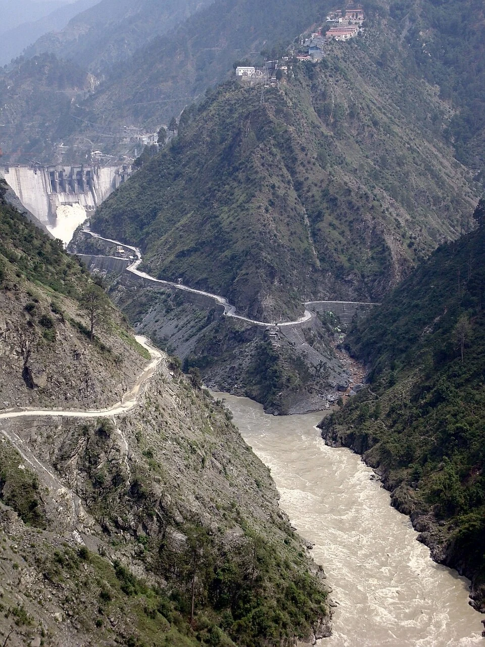
Baglihar: Hydropower and the Chenab at Chanderkote
Baglihar is a hydroelectric project on the Chenab at Chanderkote in Ramban district. Its dam, reservoir and generating works form an engineered landsc
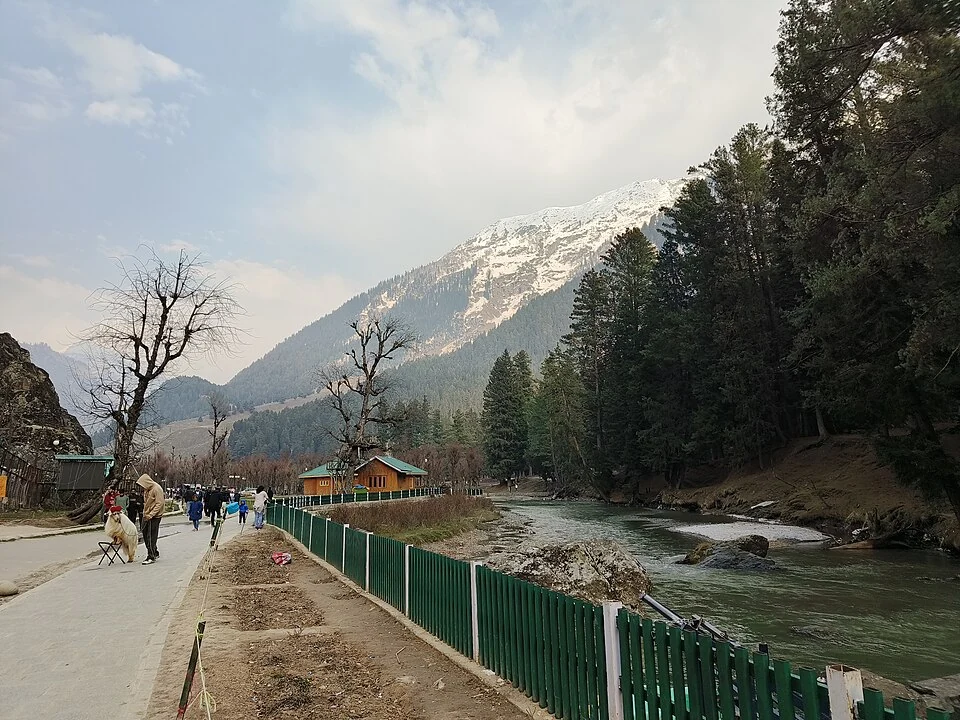
Betaab Valley: Film-associated Landscape near Pahalgam
Betaab Valley is a visitor landscape near Pahalgam in Anantnag district. It is also associated with the older names Hajan, Hagan or Hagoon in publishe