
Zanskar River: Tributaries, Gorge and the Indus Confluence
The Zanskar River drains mountain valleys in Ladakh and joins the Indus near Nimo, also written Nimmoo. It connects the Zanskar settlement landscape with a gorge and a well-known confluence downstream. The river, the geographical region and the administrative district share a name but have different extents.
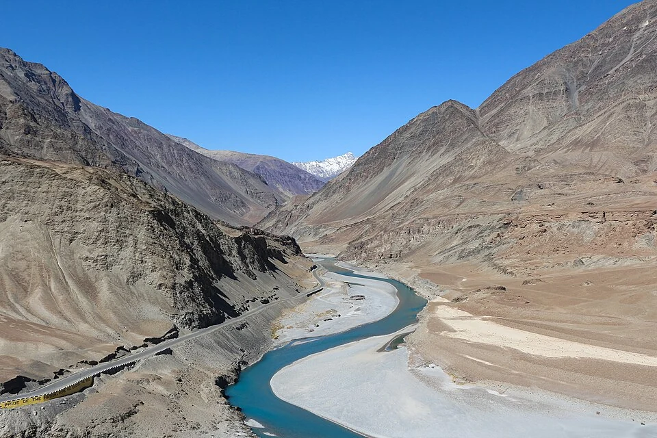
The Zanskar River drains mountain valleys in Ladakh and joins the Indus near Nimo, also written Nimmoo. It connects the Zanskar settlement landscape with a gorge and a well-known confluence downstream. The river, the geographical region and the administrative district share a name but have different extents.[1]
Tributaries and confluence
Reference accounts describe the river system through the Doda or Stod and the Lungnak tributaries. Their valleys lead towards the Padum area before the combined flow continues to the Indus. A confluence is a junction within that system, not the source of every tributary.[1]
The Kargil administration's older Zanskar account describes the region through its valleys, settlements and monasteries. This remains useful landscape context, while current district assignments follow Ladakh's newer administrative framework. The historical source label and the current filter should not be silently treated as the same thing.[2]
Gorge and seasonal identity
The river is widely associated with the winter Chadar route. That seasonal association does not mean the river freezes in an identical way every year or that a photographed ice surface establishes a currently usable itinerary. A geographical profile is separate from a verified expedition plan.[1]
Rocky valley walls and the river channel create a landscape very different from an open cultivated valley. A distant confluence photograph can show contrasting water colours at one moment, but colour alone cannot establish discharge, quality or the contribution of each tributary.
Settlement accounts also matter. The river system supports a connected inhabited landscape rather than an empty adventure backdrop. Naming villages and their distinct institutions makes the geographical story more complete.
Read Padum, Karsha and Phugtal for separate Zanskar settings. The district context marker lies near Padum rather than at the river's downstream mouth. Its coordinates offer regional orientation, not a line showing the entire channel, an authorised rafting launch or confirmation of a frozen-river route. The photograph's own location remains separately credited.
Image and map record
Image: Bernard Gagnon via Wikimedia Commons. Licence: CC BY-SA 4.0. Recorded capture date: 2018-05-11 09:21. Resized and converted to WebP; image content unchanged. This is a dated view, not confirmation of the site’s present appearance.

Map marker: 33.46388889, 76.87861111. Labelled representative town/valley context marker, not the full river course, its source or mouth, a wildlife-park boundary, a verified entrance or an authorised riverbank viewpoint. View location on OpenStreetMap · View Google Maps · Google directions · OpenStreetMap directions.
Research checked: 14 October 2026. For a visit, confirm current access, transport and opening information with the relevant authorities. This encyclopedia profile provides geographical and historical context.
Sources & references
[1] Reference overview: Zanskar River
https://en.wikipedia.org/wiki/Zanskar_River ↗
[2] Kargil administration archive: Zanskar landscape
https://kargil.nic.in/tourist-place/zanskar/ ↗
Image and licence
https://commons.wikimedia.org/wiki/File:Zanskar_River_in_Ladakh.jpg ↗
Related reading
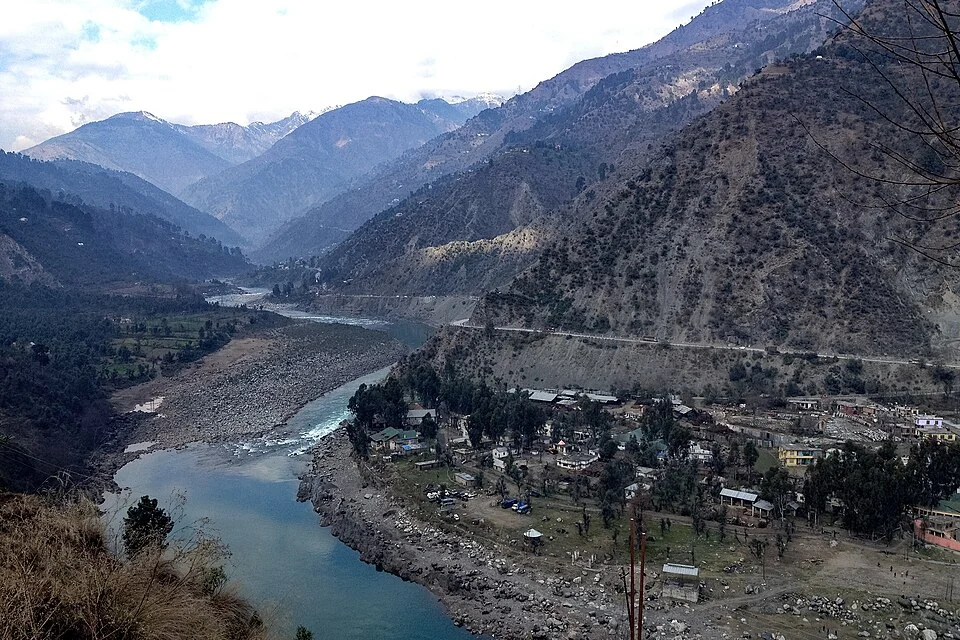
Chenab River: A Mountain River across the Jammu Region
The Chenab is a major Himalayan river flowing through the Jammu region. Its mountain valleys connect settlements, bridges and hydroelectric projects,
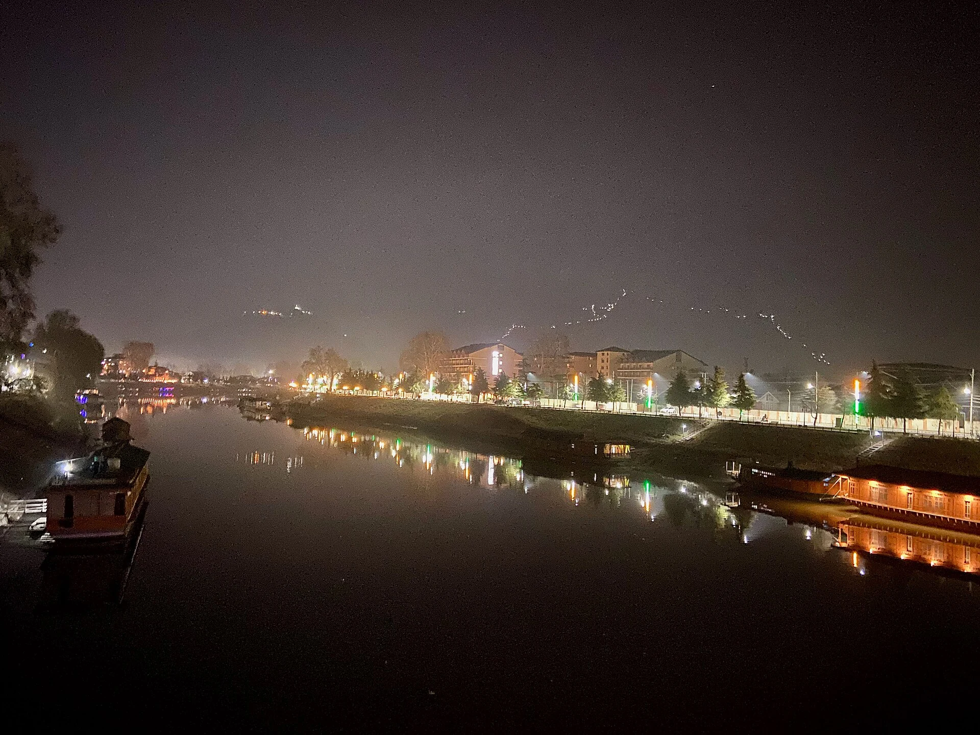
Jhelum River in Srinagar: Vyath, Crossings and Riverfront Heritage
The urban Jhelum, its place in regional drainage, bridges and connections with Srinagar’s built heritage.
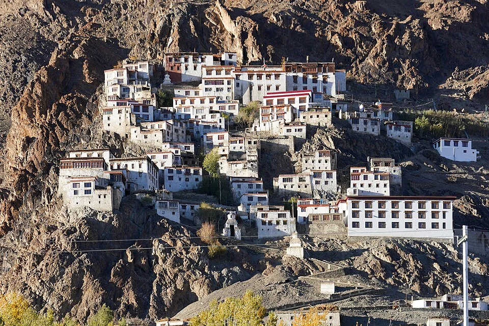
Karsha Monastery: Buddhist Community above the Zanskar Valley
Karsha is a major Buddhist monastery above the Zanskar valley near Padum.