
Nadru: Lotus Rhizomes and Kashmir’s Lake-based Food Culture
Nadru is the Kashmiri culinary name for the edible rhizome of lotus, widely called lotus stem or lotus root in food descriptions.
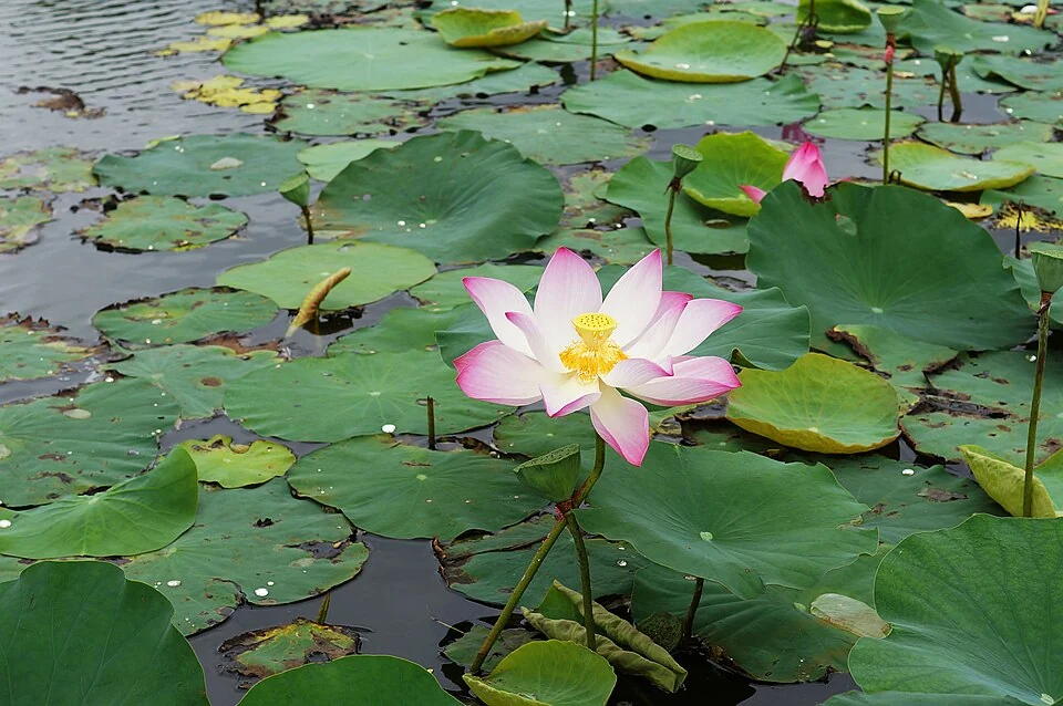
Nadru is the Kashmiri culinary name for the edible rhizome of lotus, widely called lotus stem or lotus root in food descriptions. A rhizome is a specialised stem, so the everyday word “root” is not a precise botanical identification. The ingredient connects Kashmiri cooking with lake and wetland landscapes where lotus grows.[1]
From waterbody to kitchen
The national tourism account describes nadru yakhni as lotus pieces in a yoghurt-based sauce with aromatic seasoning. That is one preparation, not a definition of every way nadru is cooked. The ingredient can be cut and treated differently, changing its texture and the way a sauce surrounds the pieces.[2]
The lotus plant includes leaves, flowers and below-surface structures with different functions. The channel-like spaces visible in a cut rhizome are a recognisable feature of the ingredient. A photograph of a lotus flower therefore illustrates the plant but does not directly show the edible part discussed in a recipe.[1]
A food linked with lake livelihoods
The connection with wetlands gives nadru a context beyond the dining table. Harvesting, cleaning, distribution and cooking are separate stages. An attractive dish photograph reveals the final serving while leaving the work before it largely unseen. A fuller account keeps the ingredient's environmental setting and the people handling it in view.
Lake condition also deserves attention without oversimplification. A healthy-looking flower patch is not a water-quality measurement, and the presence of lotus does not by itself certify that a harvested ingredient is ready to eat. Food handling and the condition of the waterbody require their own evidence.
Read the Manasbal Lake entry for a specific lake associated with lotus and local use of its rhizomes. Dal Lake supplies another inhabited water landscape, while Haak and Dum Aloo introduce different vegetable ingredients. The regional context marker here is not a mapped harvest site, a water-quality certificate or permission to collect plants from a protected area.
Photograph and map record
Photograph: Prenn via Wikimedia Commons. Licence: CC BY-SA 3.0. Recorded capture date: 2013-09-18 10:31:49. Resized and converted to WebP; scene content unchanged. This is a dated view, not confirmation of the site’s present appearance.

Map marker: 34.083, 74.797. Editorial regional-context marker for Srinagar. This subject is not a single physical destination: the point is not a birthplace, workshop, harvest site, species range, guaranteed wildlife locality or boundary of language use. View location on OpenStreetMap · View Google Maps · Google directions · OpenStreetMap directions.
Research checked: 14 October 2026. For a visit, confirm current access, transport and opening information with the relevant authorities. This encyclopedia profile provides geographical and historical context.
Sources & references
[1] Nelumbo nucifera — secondary historical/geographical overview
https://en.wikipedia.org/wiki/Nelumbo_nucifera ↗
[2] Ministry of Tourism: Srinagar vegetarian dishes
https://www.incredibleindia.gov.in/en/jammu-and-kashmir/srinagar/10-best-vegetarian-dishes-to-try ↗
Photograph and licence
https://commons.wikimedia.org/wiki/File:Nelumbo_nucifera_01.JPG ↗
Related reading
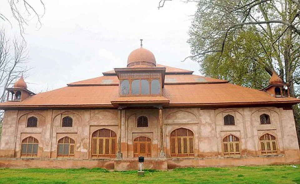
Aali Masjid: Open Ground and a Historic Srinagar Mosque
Aali Masjid, also written Ali Masjid, is a historic mosque in Srinagar's Eidgah area.
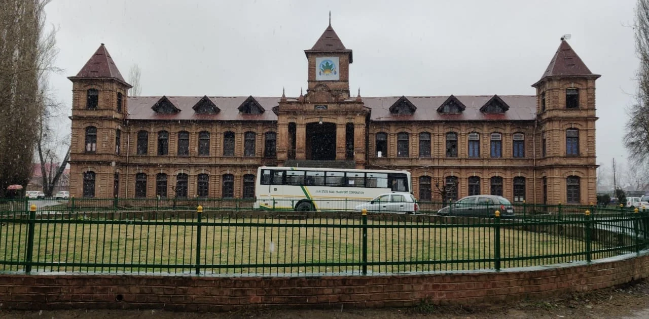
Amar Singh College: Education, Campus Heritage and Institutional Change
The growth of an educational institution from a technical institute, with campus conservation and academic resources.
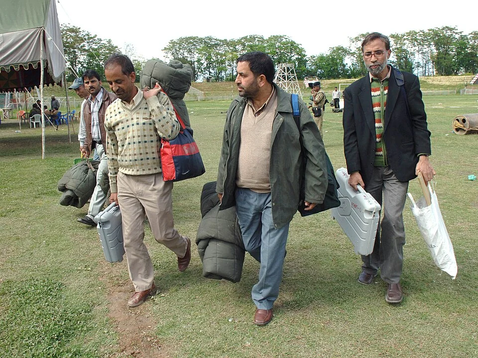
Bakshi Stadium: Football and a Public Sports Venue in Srinagar
Bakshi Stadium is a major sports venue in Srinagar, particularly associated with football.