
Manasbal Lake: Deep Water, Lakeside Settlement and Ecology
Manasbal is a freshwater lake in the Safapora area of Ganderbal district.
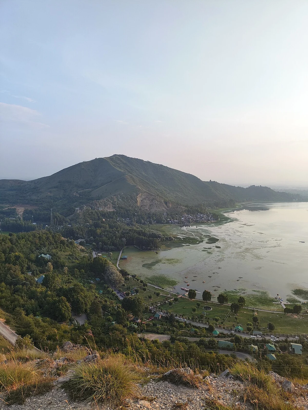
Manasbal is a freshwater lake in the Safapora area of Ganderbal district. It is known for deep open water, lotus growth near its margins and a settled lakeside landscape. Local names, gardens and religious remains give it a cultural setting as well as an ecological one. Its name should not be confused with Wular: the two are separate lakes within the wider Kashmir Valley.[1]
Water and lakeside life
The district tourism account describes Manasbal's lakeside villages, lotus vegetation and opportunities for observing aquatic birds. The source gives a depth around thirteen metres. This is more informative as an approximate site measurement than as an unqualified claim that Manasbal is India's deepest lake, which would require a broader and consistent comparison.[2]
Lotus is more than a decorative feature. Published accounts describe the harvesting and local use of its edible rhizomes. The lake's catchment also includes settlements and cultivated ground. These relationships place Manasbal within a working landscape, where water quality and shoreline conditions matter to activities beyond sightseeing.[1]
History beside the water
The garden known as Jaroka Bagh is associated with Mughal patronage and views over the lake. The district page also records a submerged temple near the shore. These features should be researched separately: a garden, temple and lake do not share one construction date simply because they are encountered in the same setting.[2]
A lakeside view can reveal the relationship between water, vegetation and hills, while leaving conditions below the surface unseen. Water clarity in a photograph is not a chemical analysis, and flowers along a margin do not describe the whole ecosystem. Conservation questions are best addressed through dated measurements, catchment information and records of changing land use.
Read Manasbal alongside Wular Lake and Nigeen to compare distinct valley waterbodies. Kheer Bhawani at Tulmulla offers a different Ganderbal example of water and cultural meaning. The representative coordinate locates Manasbal itself; it does not establish a boating operator, bathing area or verified entrance to a particular park.
Photograph and map record
Photograph: BiyingTram via Wikimedia Commons. Licence: CC BY 4.0. Recorded capture date: 2025-07-28 18:48:05. Resized and converted to WebP; scene content unchanged. This is a dated view, not confirmation of the site’s present appearance.

Map marker: 34.25, 74.66666667. Representative location from the secondary geographical record, not a surveyed boundary or verified visitor entrance. View location on OpenStreetMap · View Google Maps · Google directions · OpenStreetMap directions.
Research checked: 14 October 2026. For a visit, confirm current access, transport and opening information with the relevant authorities. This encyclopedia profile provides geographical and historical context.
Sources & references
[1] Manasbal Lake — secondary historical/geographical overview
https://en.wikipedia.org/wiki/Manasbal_Lake ↗
[2] Ganderbal district: Manasbal Lake, vegetation and temple
https://ganderbal.nic.in/tourist-place/mansbal-lake/ ↗
Photograph and licence
https://commons.wikimedia.org/wiki/File:Manasbal_Lake_1.jpg ↗
Related reading
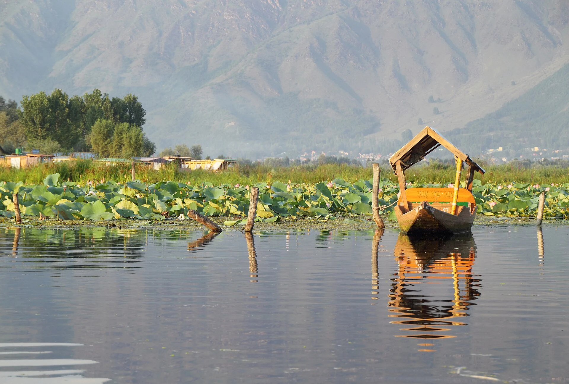
Dal Lake: Waterways, Floating Gardens and Life on the Lake
An introduction to Dal Lake’s connected basins, working waterscape, floating gardens, boats and cultural setting.
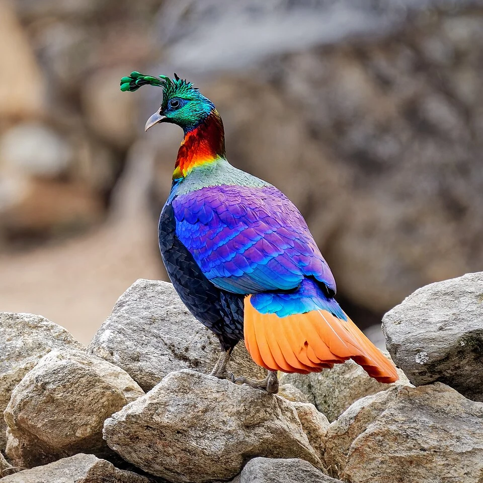
Himalayan Monal: A Pheasant of Kashmir’s Mountain Forests
The Himalayan monal is a mountain pheasant occurring in the wider Himalayan region, including suitable habitats in Kashmir.
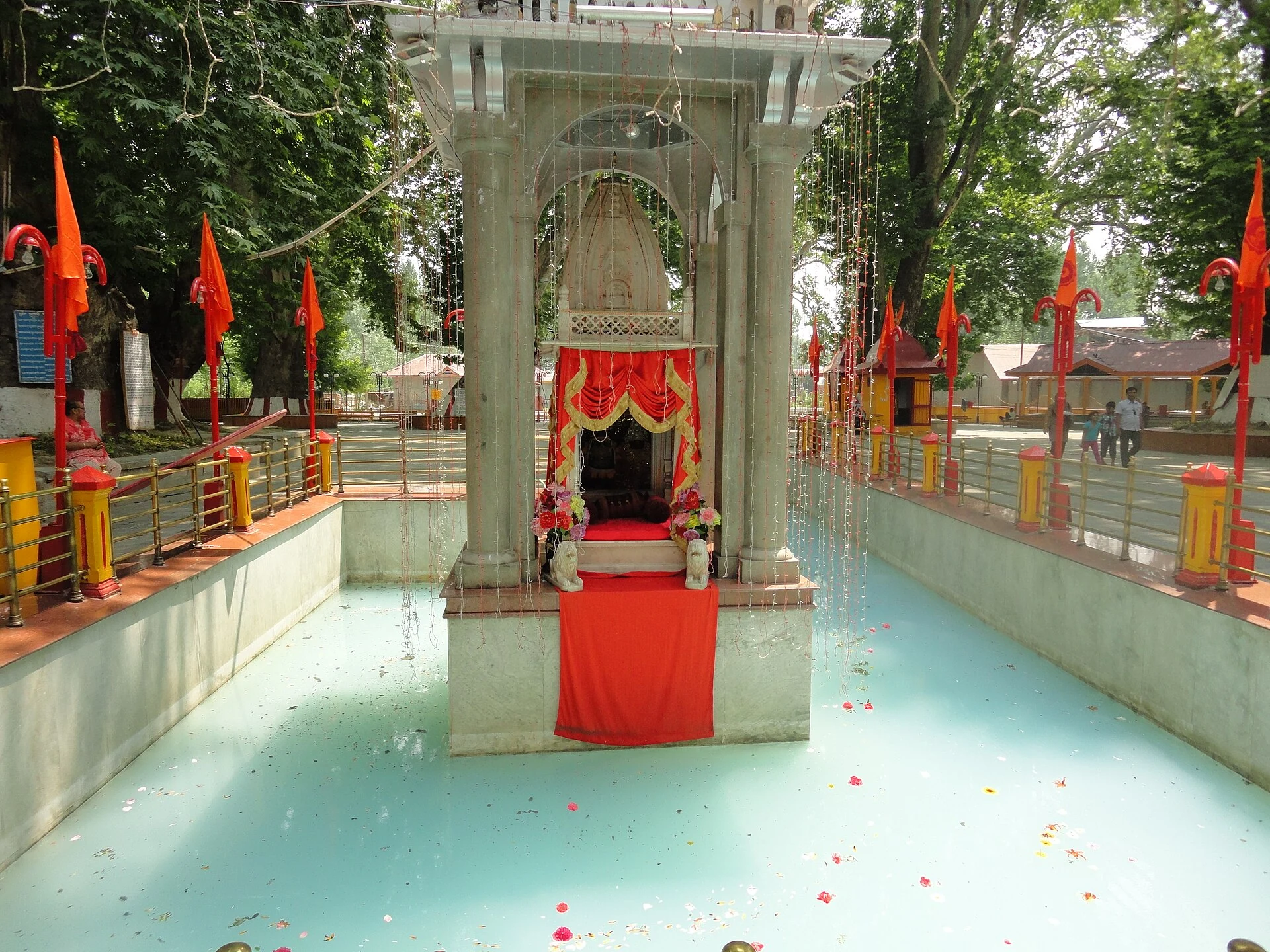
Kheer Bhawani: Sacred Spring and Devotion at Tulmulla
The Tulmulla shrine’s sacred spring, goddess traditions and annual community gathering.