
Sind River: Tributary, Valley and Water in Kashmir
The Sind, also written Sindh or Nallah Sindh in local accounts, is a river in Kashmir's Ganderbal district and an important tributary of the Jhelum. It should not be confused with the Indus simply because some regional names and English spellings resemble one another. This entry concerns the Kashmir tributary.
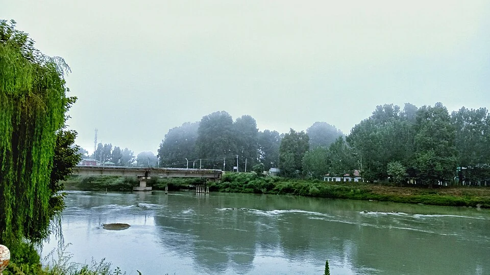
The Sind, also written Sindh or Nallah Sindh in local accounts, is a river in Kashmir's Ganderbal district and an important tributary of the Jhelum. It should not be confused with the Indus simply because some regional names and English spellings resemble one another. This entry concerns the Kashmir tributary.[1]
Valley and settlements
The Ganderbal administration describes the Sind valley as a route through the district and identifies the river's relationship with the town and mountain corridor. The river and its adjoining road connect places at different elevations, from the wider valley floor towards Sonamarg.[2]
The district account also identifies hydroelectric works on Nallah Sindh. A power project's name, a generating structure and the full river are separate subjects. Locating one installation does not locate the river's complete catchment or establish its present output.[3]
Water and regional geography
A tributary contributes to a larger drainage network. Its channel, valley and catchment describe related but different features: the channel carries water, the valley shapes surrounding ground, and the catchment includes the land draining towards it. Maps should make clear which of those features is represented.
The river's appearance also changes along its course. A mountain stream reach, a bridge in Ganderbal and a broader downstream channel can all belong to the same river without looking alike. Photographs become more informative when their location and capture date remain visible.
Riverbank uses require their own documentation. A tourism account, an electricity-project record and a water-quality investigation answer different questions. None alone establishes the condition of every reach. Historical or seasonal descriptions should not be converted into a promise of constant flow, easy access or a particular recreation opportunity.
Read Ganderbal Town, Sonamarg and Jhelum River for connected geography. Baltal covers a distinct valley camp. The marker is a representative Ganderbal reach, not the river's entire course or a verified public bathing point. General map directions cannot establish the suitability of river access.
Image and map record
Image: Suhayl091 via Wikimedia Commons. Licence: CC BY 4.0. Recorded capture date: 27 August 2022 (according to Exif data). Resized and converted to WebP; image content unchanged. This is a dated view, not confirmation of the site’s present appearance.

Map marker: 34.23, 74.78. Labelled representative town/valley context marker, not the full river course, its source or mouth, a wildlife-park boundary, a verified entrance or an authorised riverbank viewpoint. View location on OpenStreetMap · View Google Maps · Google directions · OpenStreetMap directions.
Research checked: 14 October 2026. For a visit, confirm current access, transport and opening information with the relevant authorities. This encyclopedia profile provides geographical and historical context.
Sources & references
[1] Reference overview: Sind River
https://en.wikipedia.org/wiki/Sind_River ↗
[2] Ganderbal administration: history
https://ganderbal.nic.in/history/ ↗
[3] Ganderbal administration: district geography
https://ganderbal.nic.in/about-district/ ↗
Image and licence
Related reading
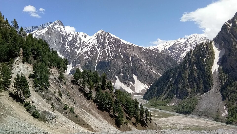
Baltal: A Valley Camp and Pilgrimage Approach near Sonamarg
Baltal is a valley camp area near Sonamarg in Ganderbal district, widely associated with an approach to the Amarnath pilgrimage. The place and the sea
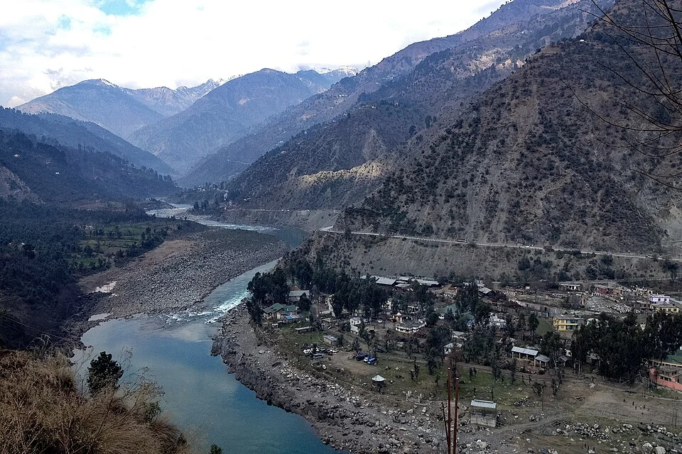
Chenab River: A Mountain River across the Jammu Region
The Chenab is a major Himalayan river flowing through the Jammu region. Its mountain valleys connect settlements, bridges and hydroelectric projects,
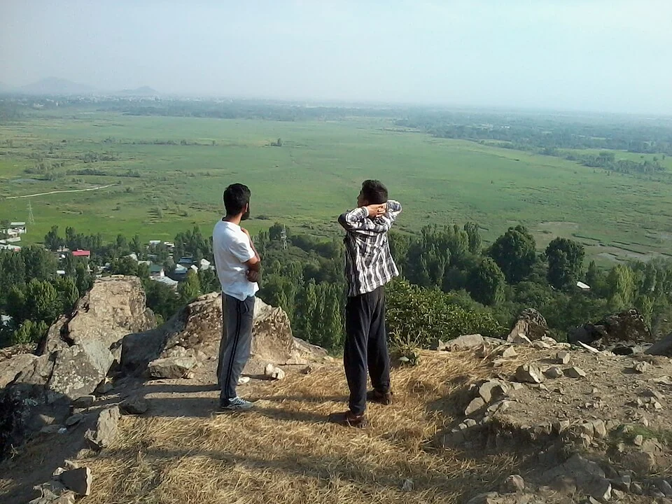
Ganderbal: Town and the Sind Valley Corridor
Ganderbal is a town and district headquarters in Kashmir's Sind valley corridor. The river and roads connect it with settlements and mountain approach