
Spituk Monastery: Religious Heritage above the Leh Valley
Spituk is a Buddhist monastery on a hill near Leh, overlooking the Indus-valley landscape and close to the airfield area.
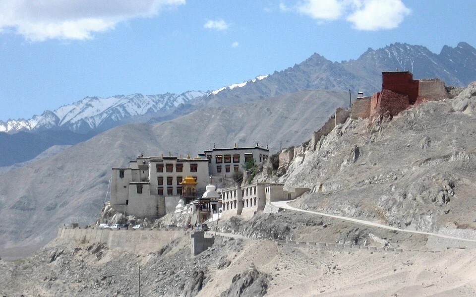
Spituk is a Buddhist monastery on a hill near Leh, overlooking the Indus-valley landscape and close to the airfield area. It is associated with the Gelug tradition, while accounts of its history describe earlier foundations and later religious development. The institution, neighbouring settlement and surrounding hill are different geographical subjects.[1]
History and religious practice
Reference histories associate Spituk with an eleventh-century foundation and a later Gelug affiliation. These points describe institutional development rather than the age of every visible building. The complex has assembly and shrine spaces, with images and objects that deserve individual identification.[1]
The district culture account includes Spituk among Ladakh's religious centres. Its place in a regional list is useful for orientation, but the monastery's festival and ritual activities require their own dated information. A visitor cannot infer an annual event's schedule from the permanent location of the buildings.[2]
A hill above the valley
Spituk's position gives an external view of the relationship between monastery, slope and valley. The arrangement can be compared with other hill-based institutions, but similar silhouettes do not mean identical room plans, affiliations or patronage. A panoramic image shows massing more readily than the contents of a shrine.
The nearby airport is a separate operational site. Seeing the runway from a monastery viewpoint does not imply a public route into the airfield, just as a road reaching a hill does not establish step-free access to every upper room. The marker locates the monastery area rather than certifying a particular entrance.
Read Leh Airport for the aviation setting, Thiksey for a different terraced complex, and Pathar Sahib for a separate religious institution along the Indus corridor. These connections show the variety of sites around Leh while maintaining the distinctions between religious heritage, settlement and transport infrastructure.
A religious institution can remain in use while its physical buildings undergo repair, which makes dated documentation particularly valuable.
Photograph and map record
Photograph: Redtigerxyz via Wikimedia Commons. Licence: CC BY-SA 3.0. Recorded capture date: Date not recorded. Resized and converted to WebP; scene content unchanged. This is a dated view, not confirmation of the site’s present appearance.

Map marker: 34.1255, 77.52627778. Representative source-record location, not a surveyed boundary or verified visitor entrance. Confirm actual access and accessibility locally. View location on OpenStreetMap · View Google Maps · Google directions · OpenStreetMap directions.
Research checked: 14 October 2026. For a visit, confirm current access, transport and opening information with the relevant authorities. This encyclopedia profile provides geographical and historical context.
Sources & references
[1] Spituk Monastery — secondary historical/geographical overview
https://en.wikipedia.org/wiki/Spituk_Monastery ↗
[2] Leh district: Spituk and regional religious heritage
https://leh.nic.in/tourism/culture-heritage/ ↗
Photograph and licence
Related reading
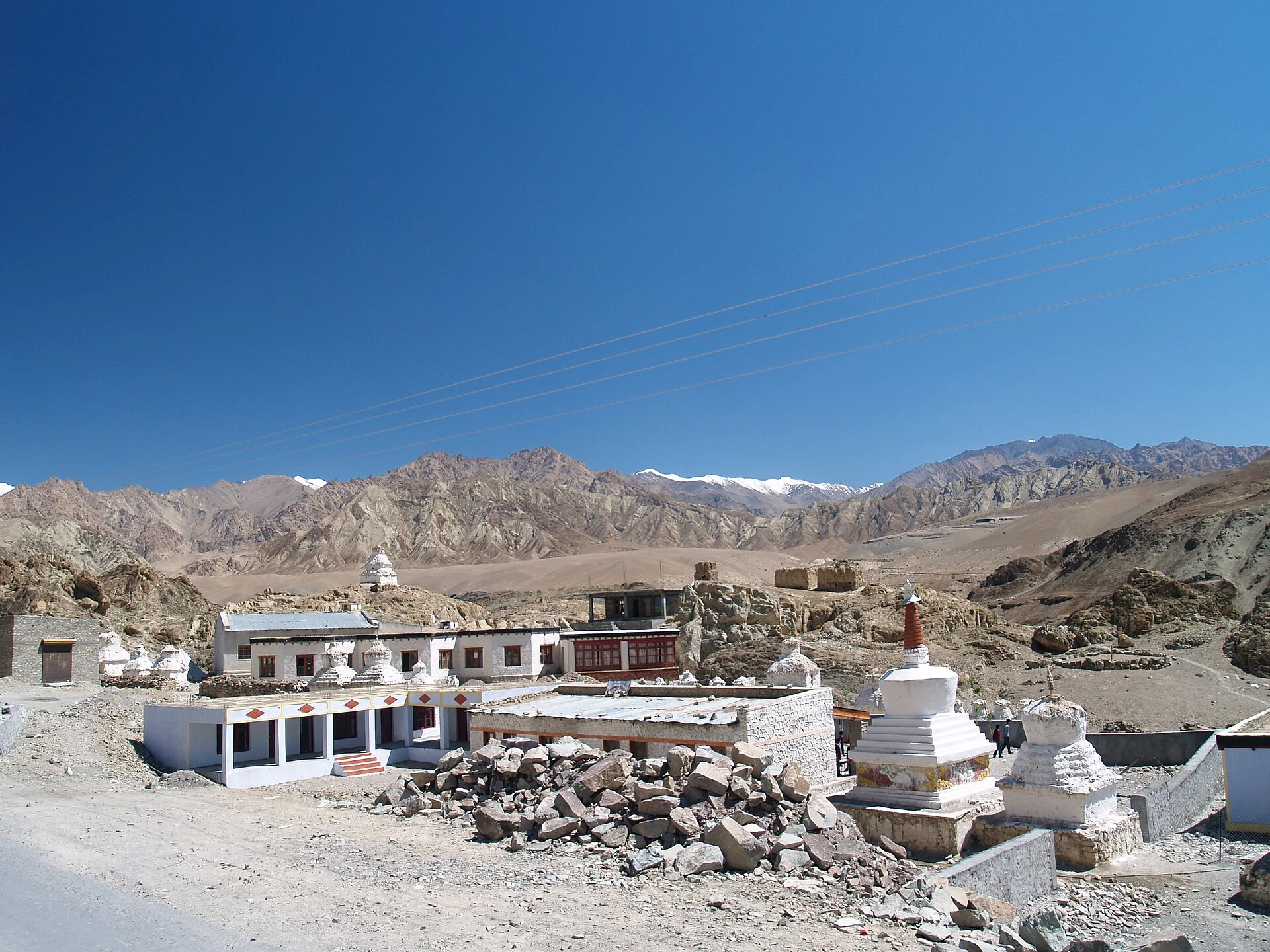
Alchi: Painted Temples and the Art of Western Himalayan Buddhism
Alchi is a Buddhist temple complex in the lower Indus valley, known especially for its painted interiors, sculpture and carved woodwork.
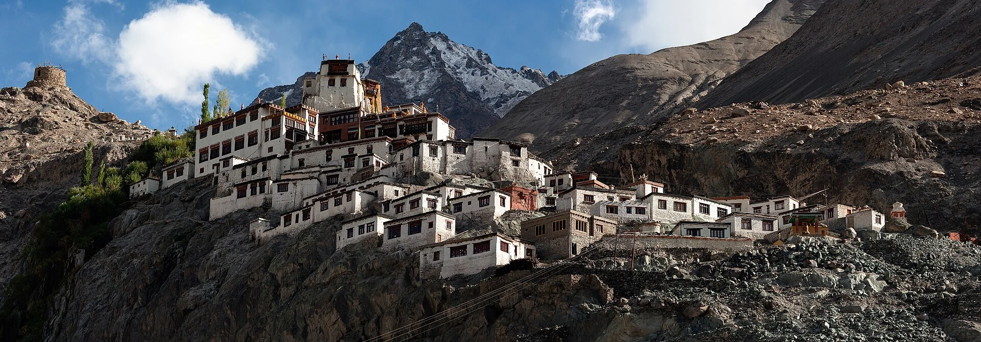
Diskit Monastery: Gelug Heritage and the Nubra Valley
Nubra’s Gelug monastery, hillside architecture, community life and the newer district classification.
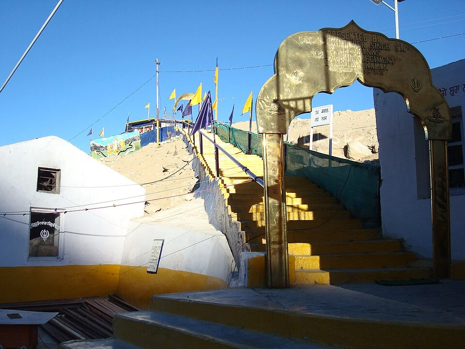
Gurdwara Pathar Sahib: Sikh Tradition in the Indus Valley
Gurdwara Pathar Sahib is a Sikh place of worship in the Indus-valley corridor west of Leh.