
Kushok Bakula Rimpochee Airport: Aviation in the Leh Valley
Kushok Bakula Rimpochee Airport, code IXL, is the civil aviation gateway serving Leh in Ladakh.
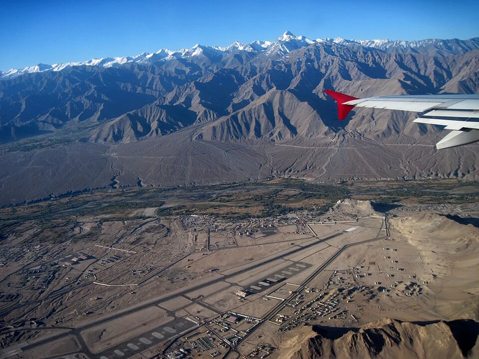
Kushok Bakula Rimpochee Airport, code IXL, is the civil aviation gateway serving Leh in Ladakh. It is named for the Buddhist leader Kushok Bakula Rinpoche and occupies a high-altitude valley setting surrounded by mountains. The airport and Leh town are connected geographical subjects, but the terminal, runway and city centre have different locations and access arrangements.[1][3]
Aviation in a mountain valley
The Ministry of Civil Aviation gives the airport's elevation as approximately 3,256 metres. Elevation is an important part of its physical setting, while mountains and weather shape operations around it. The figure should not be confused with the altitude of every neighbourhood in Leh, nor turned into a claim that conditions are the same throughout Ladakh.[2]
AAI identifies the facility as KBR Airport, Leh, and provides official passenger and contact information. The ICAO identifier VILH is used in aviation records, while IXL is the code normally encountered in passenger searches. Correctly distinguishing these codes helps avoid confusion with another airport or a general reference to the region.[1][3]
Arrival and onward travel
A flight arrival establishes access to Leh, not an immediate connection to every distant Ladakh destination. Roads to the western Indus corridor, Zanskar or Changthang differ in distance, terrain and access arrangements. The airport's position should therefore be considered alongside the specific onward place, rather than described as the nearest convenient gateway in every circumstance.
High-altitude arrival also calls for a realistic itinerary. A plan that combines landing with several distant excursions can overlook both travel time and adjustment to the environment. This profile explains the geographical situation; travellers should use current professional and official advice appropriate to their circumstances rather than treat an encyclopedia as an individual health assessment.
For the urban heritage context, see Leh Palace and Shey Palace. Padum and Hanle describe more distant settlements. A dated aerial photograph can show the airfield's valley setting, but it does not establish the current terminal layout or operating status. The representative marker is not an authorised road entrance into the runway area.
Photograph and map record
Photograph: caffeineAM via Wikimedia Commons. Licence: CC BY 2.0. Recorded capture date: 2009-09-20 07:19:03. Resized and converted to WebP; scene content unchanged. This is a dated view, not confirmation of the site’s present appearance.
_Ladakh_Jammu_%26_Kashmir_India.jpg)
Map marker: 34.13583333, 77.54527778. Airfield orientation coordinate, not an authorised vehicle entrance or a terminal access route. View location on OpenStreetMap · View Google Maps · Google directions · OpenStreetMap directions.
Research checked: 14 October 2026. For a visit, confirm current access, transport and opening information with the relevant authorities. This encyclopedia profile provides geographical and historical context.
Sources & references
[1] AAI: KBR Airport Leh
https://www.aai.aero/en/airports/leh ↗
[2] Ministry of Civil Aviation: Leh airport elevation
https://www.civilaviation.gov.in/node/7878 ↗
[3] Leh airport: secondary geographical and naming overview
https://en.wikipedia.org/wiki/Kushok_Bakula_Rimpochee_Airport ↗
Photograph and licence
Related reading
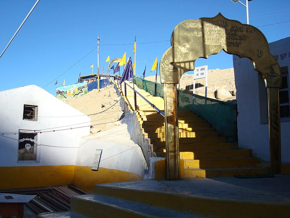
Gurdwara Pathar Sahib: Sikh Tradition in the Indus Valley
Gurdwara Pathar Sahib is a Sikh place of worship in the Indus-valley corridor west of Leh.
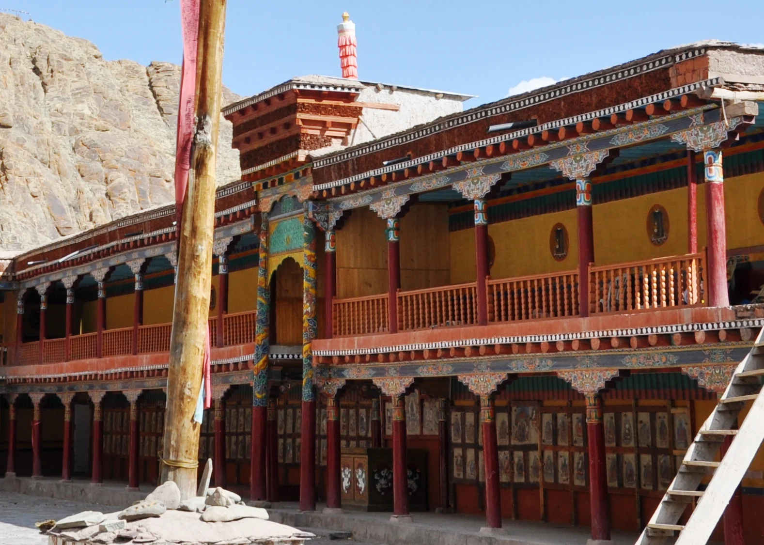
Hemis Monastery: Drukpa Heritage, Courtyard and Festival Traditions
Hemis as a living Buddhist institution, with royal associations, sacred art, courtyard use and the religious meanings of its annual festival.

Ice Hockey in Ladakh: Winter Sport and Community Participation
Ice hockey in Ladakh connects winter recreation, competitive sport and community participation.