
Tso Moriri: Lake, Korzok and a Protected Wetland
Tso Moriri is a high-altitude lake in the Changthang region of Ladakh, with Korzok on its western shore.
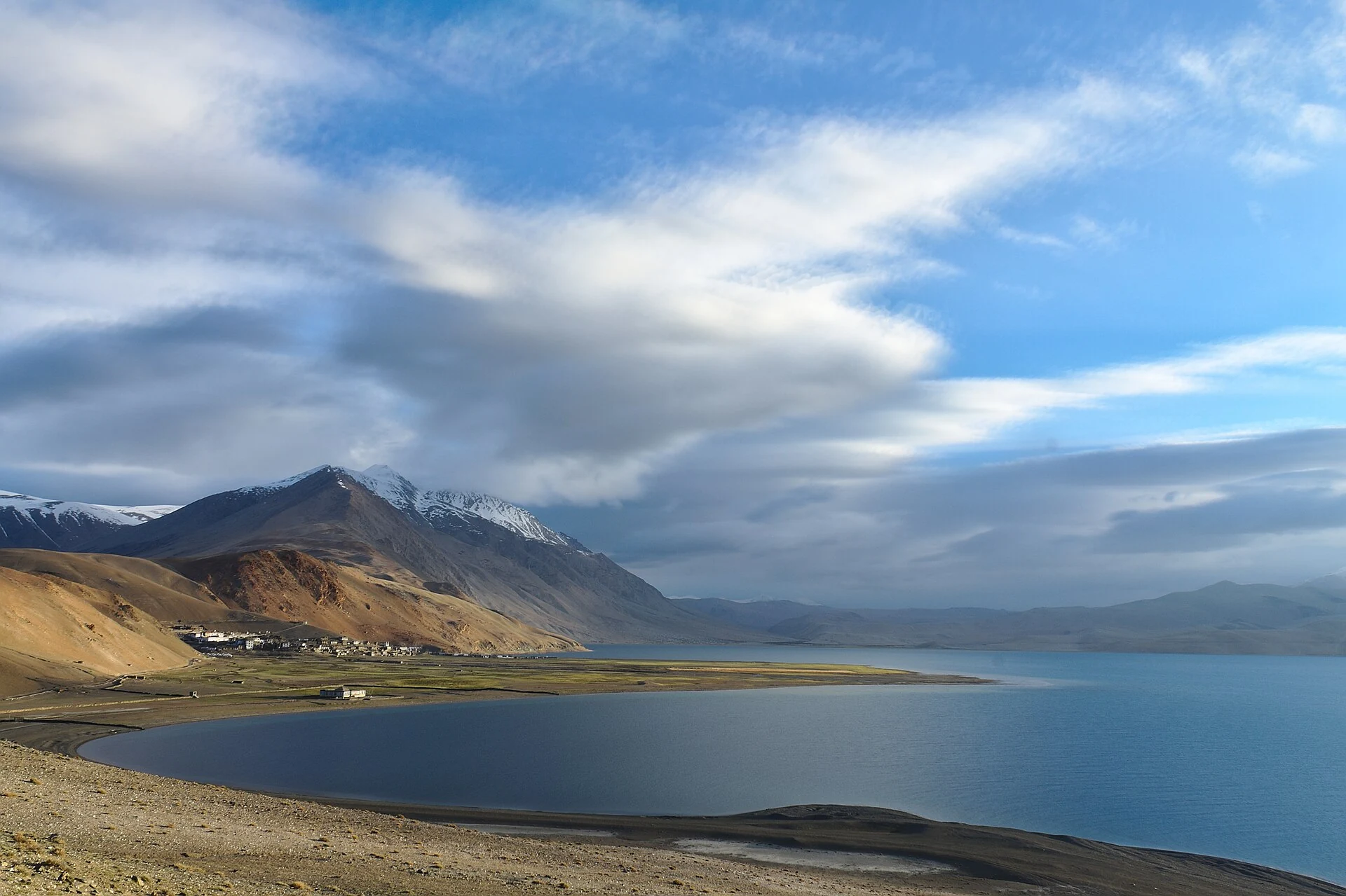
Tso Moriri is a high-altitude lake in the Changthang region of Ladakh, with Korzok on its western shore. The lake and its associated marshes are protected as a wetland of international importance under the Ramsar Convention. Its official Ramsar record uses the name Tsomoriri. A conservation designation applies to a defined site, so the protected boundary should not be inferred from the limits of the water visible in a photograph.[1]
Lake and wetland
The Ramsar account describes a high mountain lake with inflowing streams and wetland habitats important for birds. It identifies the black-necked crane and bar-headed goose among the species associated with the site, and records its religious significance for the local Buddhist community. These are ecological and cultural relationships; a visitor should not expect every recorded species to be visible from every shore or in every season.[1]
The lake has no ordinary downstream outlet and is fed by snowmelt and streams from its surrounding mountains. Korzok is a settlement with a monastery and cultivated ground in this high-altitude setting. A lake profile should include that inhabited landscape rather than describe the basin as empty wilderness. Place names may appear as Korzok or Karzok in different records.[2]
Observing a sensitive shore
Bird habitat includes more than open water. Shallow margins, marshes and stream mouths can support different activities from the deeper lake. Walking or driving onto such ground changes the conditions being observed. Keeping to authorised approaches and watching from a distance is therefore more useful than seeking a close encounter at a nesting area.
The official tourism description associates Tso Moriri with its wetland reserve. This entry avoids repeating unqualified claims that it is the world's “highest Ramsar site,” because rankings depend on definitions and the comparison set. Its importance can be explained directly through its ecology, landscape and community connections.[3]
Compare Tso Kar, a distinct complex containing two connected lakes, with the transboundary waters of Pangong Tso. Hanle offers a further Changthang comparison. The coordinate supplied here represents the Korzok-side setting and is not a mapped conservation boundary or permission to approach restricted shores.
Photograph and map record
Photograph: Tanay Kibe via Wikimedia Commons. Licence: CC BY-SA 2.0. Recorded capture date: 2017-06-01 05:46. Resized and converted to WebP; scene content unchanged. This is a dated view, not confirmation of the site’s present appearance.
.jpg)
Map marker: 32.97, 78.26. Approximate western-shore orientation marker (Korzok side); not the lake centre, a surveyed boundary or an authorised access point. View location on OpenStreetMap · View Google Maps · Google directions · OpenStreetMap directions.
Research checked: 14 October 2026. For a visit, confirm current access, transport and opening information with the relevant authorities. This encyclopedia profile provides geographical and historical context.
Sources & references
[1] Ramsar Information Sheet: Tsomoriri, site 1213
https://rsis.ramsar.org/RISapp/files/RISrep/IN1213RIS.pdf ↗
[2] Tso Moriri: secondary geographical overview
https://en.wikipedia.org/wiki/Tso_Moriri ↗
[3] Leh district archive: Tsomoriri Lake
https://leh.nic.in/tourist-place/tsomoriri-lake/ ↗
Photograph and licence
https://commons.wikimedia.org/wiki/File:Tso_Moriri,_Ladakh_(34855616204).jpg ↗
Related reading
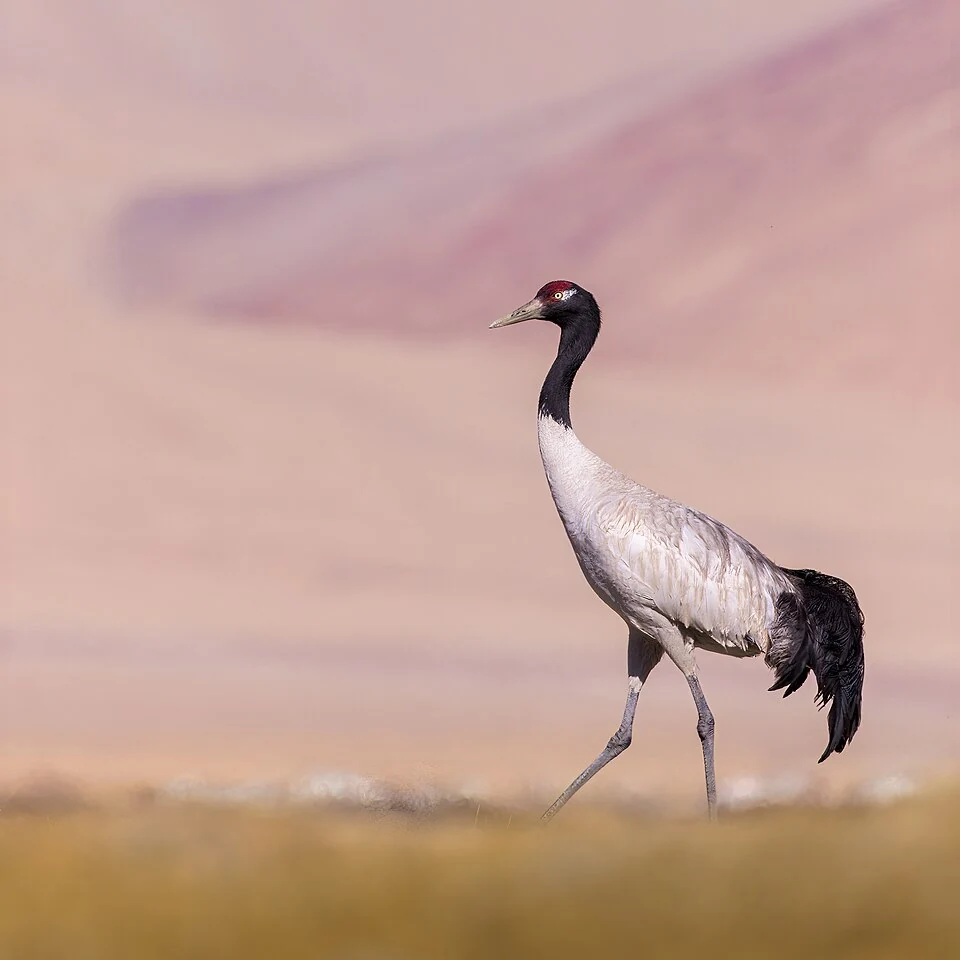
Black-necked Crane: Wetland Breeding Habitat in Ladakh
The black-necked crane is an important bird of Ladakh's high-altitude wetland landscapes.
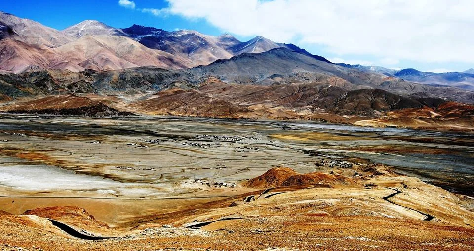
Hanle: Settlement, Monastery and the High-altitude Night Sky
Hanle is a settlement in the high-altitude Changthang region of Ladakh, in the valley of the Hanle river.
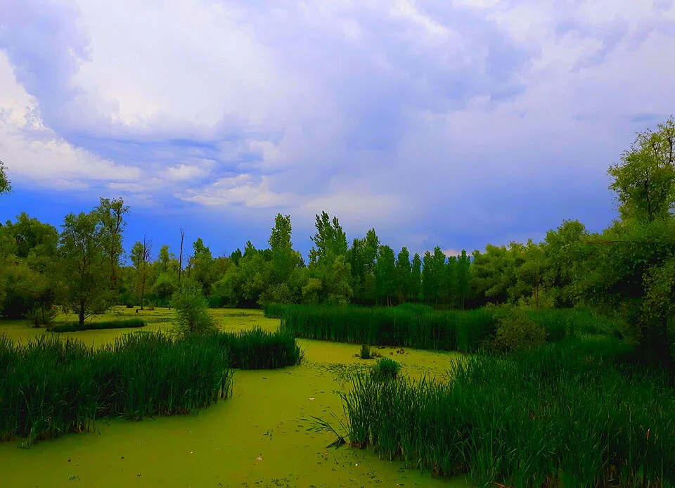
Hokersar: Wetland, Migratory Birds and Valley Water Systems
Hokersar, also recorded as Hokera Wetland, lies in the Kashmir Valley near Srinagar.